

-
 Duration
16 Days
Duration
16 Days
-
 Difficulty
Challenging
Difficulty
Challenging
-
 Max Elevation
6091m
Max Elevation
6091m
-
 Group Size
1 to 10 People Person
Group Size
1 to 10 People Person
-
 Accommodation
Teahouse/Camping
Accommodation
Teahouse/Camping
-
 Start/End
Kathmandu Airport/Kathmandu
Start/End
Kathmandu Airport/Kathmandu
-
 Destination
Annapurna Region
Destination
Annapurna Region
-
 Best Season
March-May and Sep-Nov
Best Season
March-May and Sep-Nov
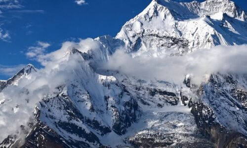
Pisang Peak Climbing is one of the best adventures in the Annapurna region for travellers who want something stronger than a regular trek but not as extreme as a major expedition.
It is a journey that gives you the feeling of the Annapurna Circuit, the excitement of a Himalayan climbing objective, and the satisfaction of standing above 6,000 metres on a real mountain summit.

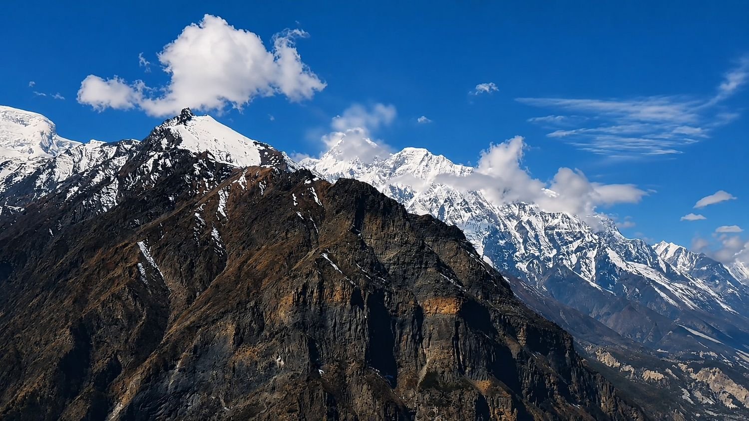
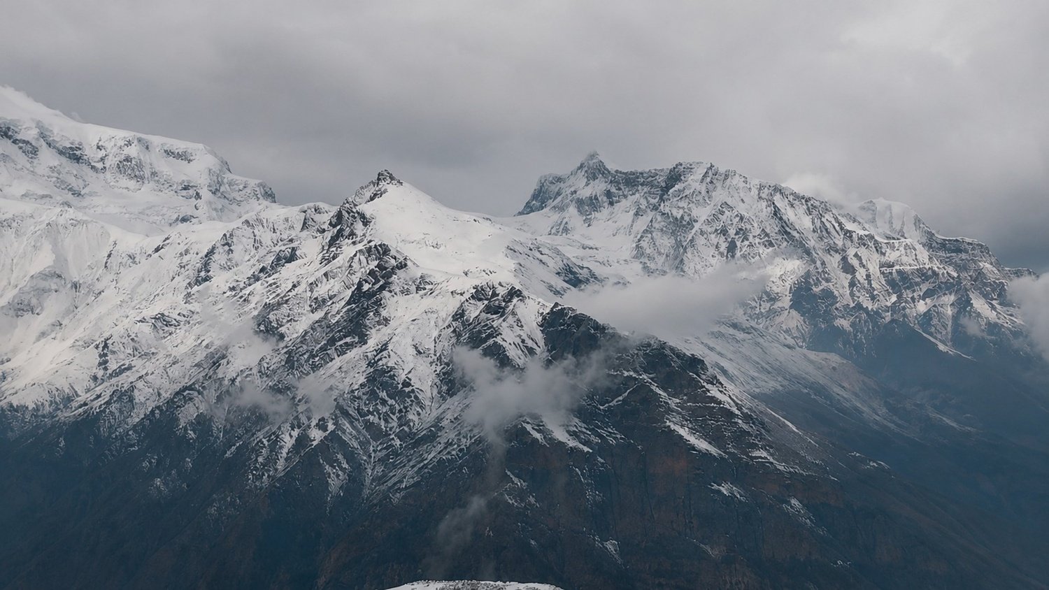
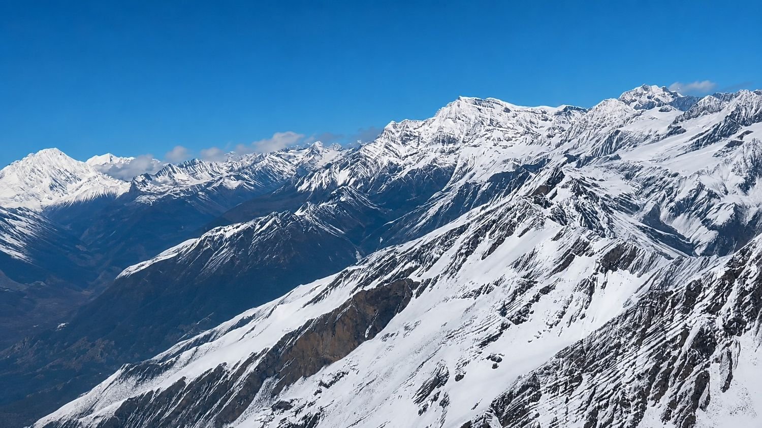
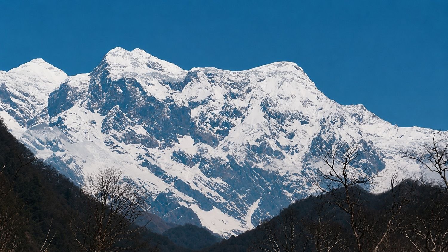
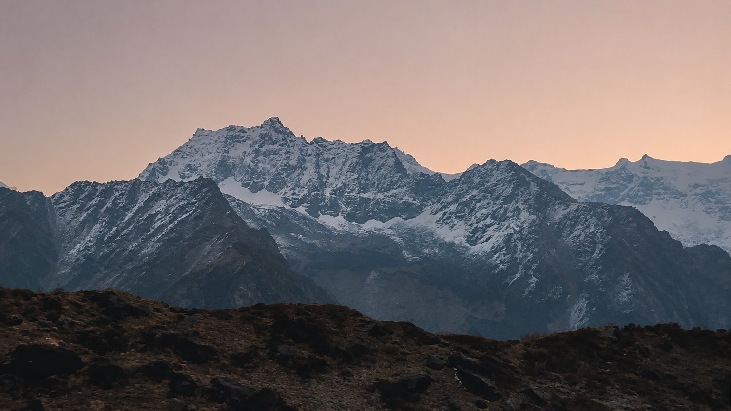
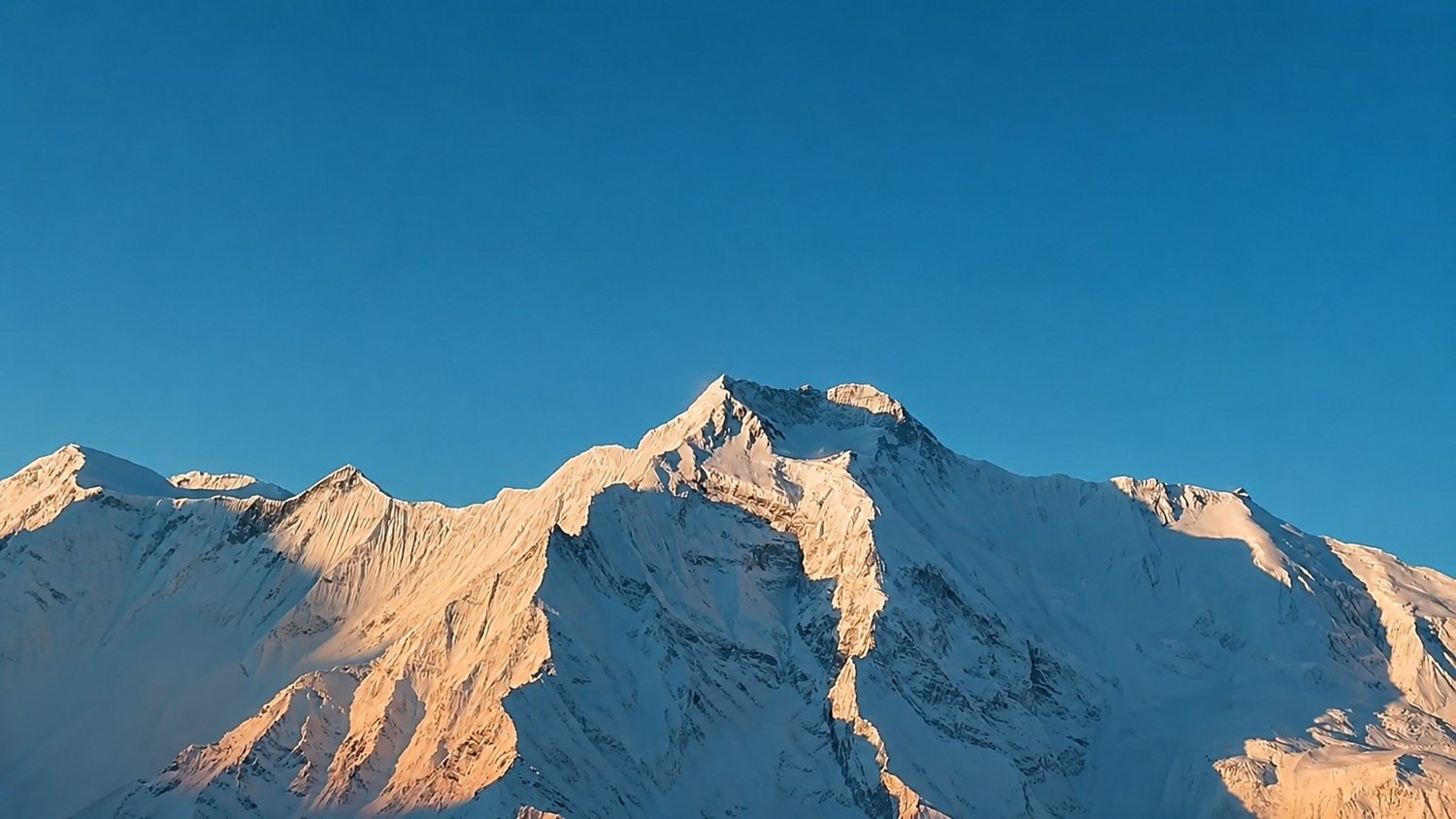
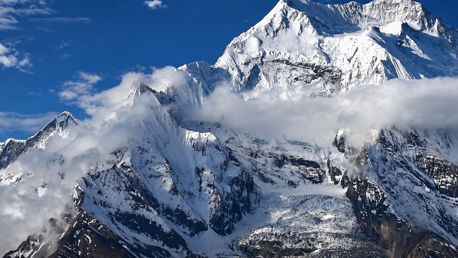
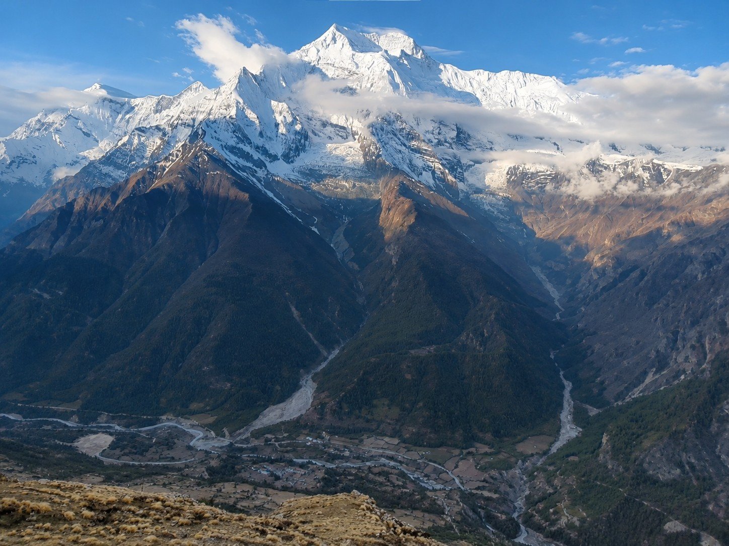
Pisang Peak rises to around 6,091 metres above the Manang valley, and from its upper slopes, the views stretch across some of the most powerful mountains in central Nepal, including Annapurna II, Annapurna III, Annapurna IV, Gangapurna, Tilicho Peak, Chulu range, and Manaslu.
This trip is especially good for trekkers who have already thought about doing the Annapurna Circuit but want to add something more adventurous to it.
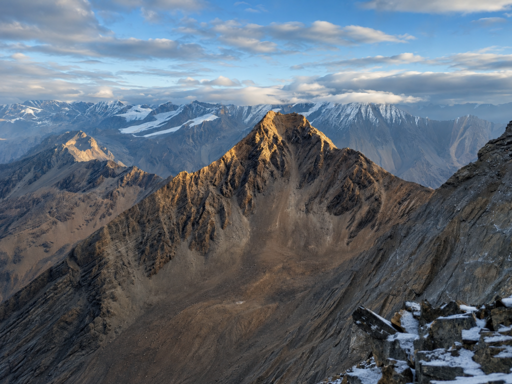
Instead of only walking through the circuit trail, this journey allows you to follow the classic approach through Dharapani, Chame, and Upper Pisang, climb Pisang Peak, and then continue through Manang, Yak Kharka, Thorong Phedi, Thorong La Pass, Muktinath, Jomsom, Pokhara, and Kathmandu.
In that sense, it gives you two experiences in one route. You get the cultural and scenic depth of the Annapurna trail, and you also get the challenge of climbing a Himalayan trekking peak.
The journey begins in Kathmandu, where you arrive, meet the team, and prepare for the mountain days ahead. Kathmandu is not the main highlight of the trip, but it gives the journey a proper starting point.
You have time to rest after your flight, check your gear, understand the climbing plan, and get a clear idea of how the route will move.
Since this is a climbing trip, small details matter more than they do on a normal trek. Warm layers, boots, gloves, climbing gear, weather conditions, permits, and guide instructions all become part of the preparation.
From Kathmandu, the route travels by road toward Dharapani, entering the Marsyangdi valley and the lower Annapurna region.
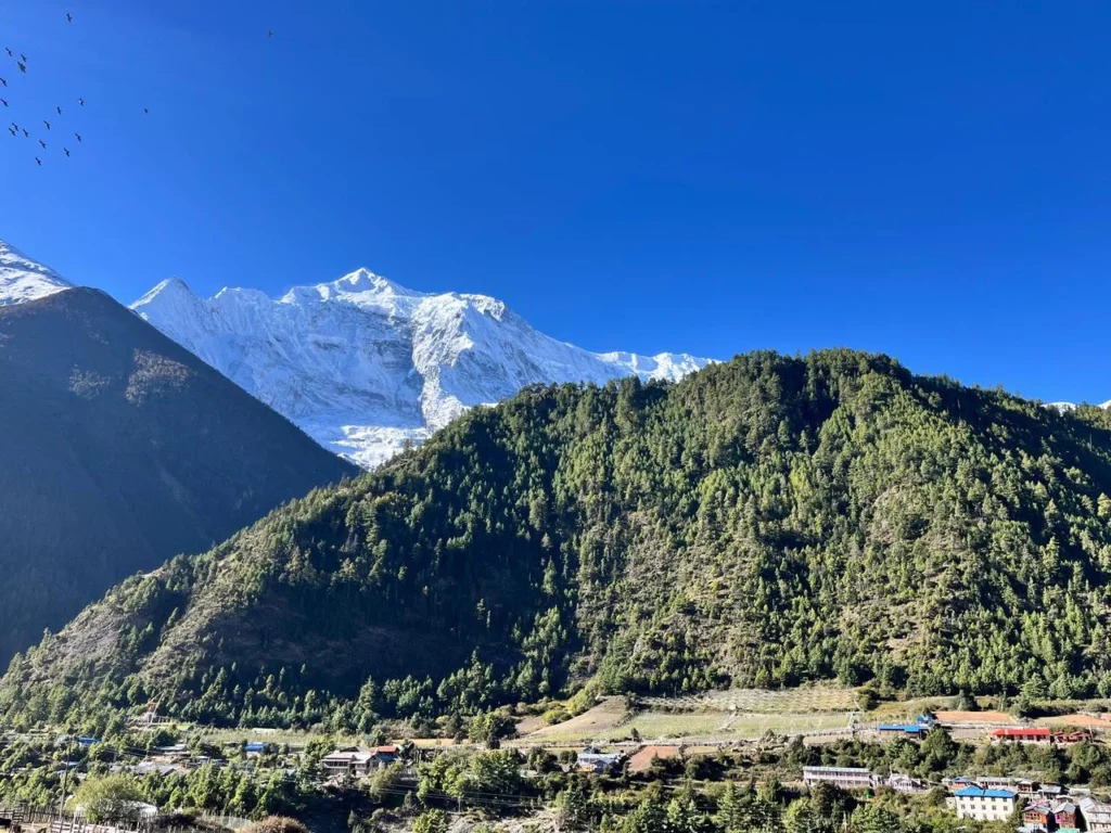
The drive is long, but it slowly introduces the shape of the journey. Busy roads give way to river valleys, hill towns, terraced slopes, waterfalls, and rough mountain sections.
Dharapani marks the beginning of the walking route. From here, the trail starts gaining height through forest, villages, river sections, and old mountain settlements.
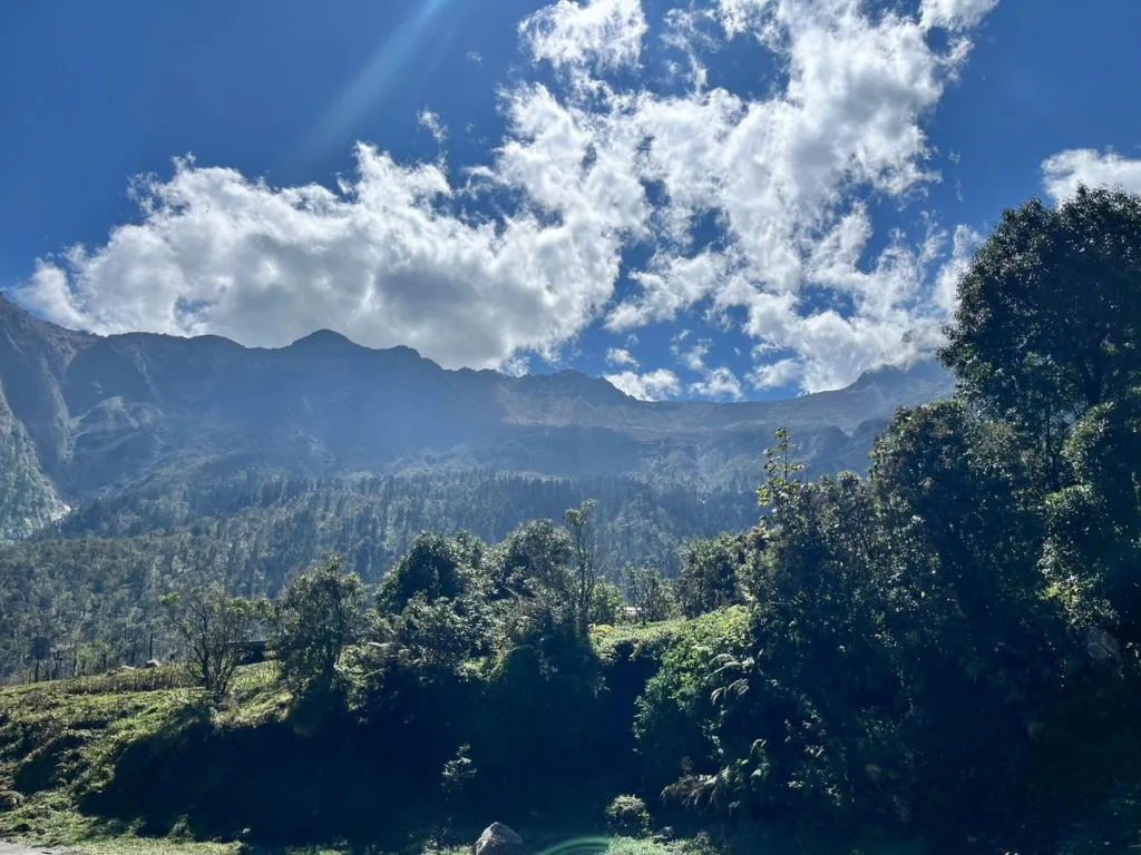
The walk to Chame brings you deeper into the Annapurna region, where the air becomes cooler and the first strong mountain views begin to appear.
The route then continues from Chame to Upper Pisang, one of the most beautiful villages on this side of the Annapurna trail.
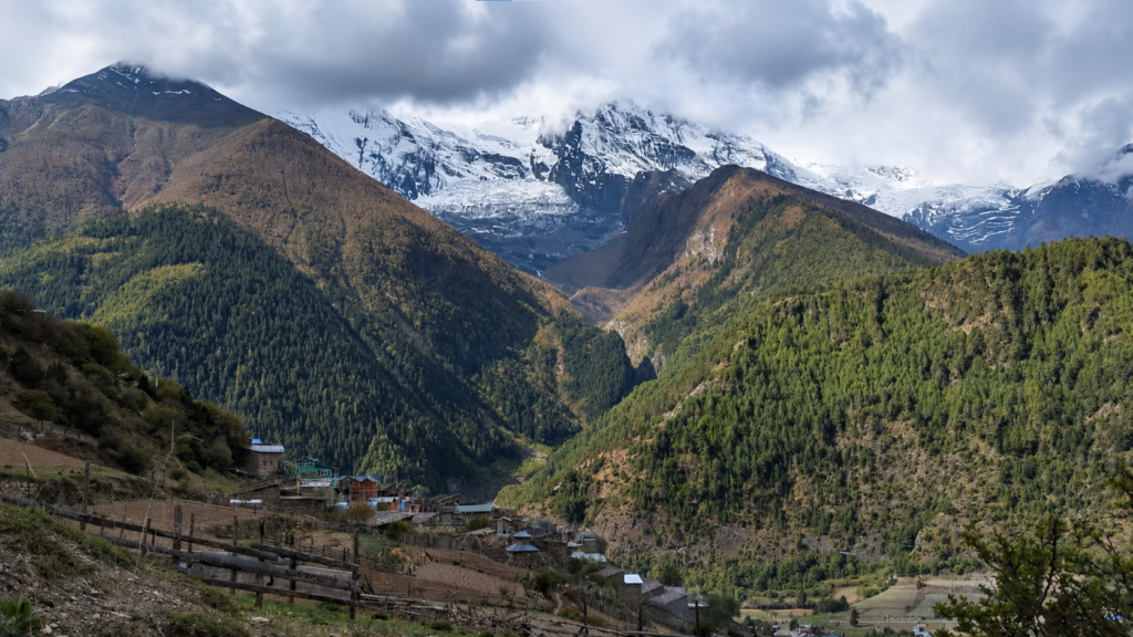
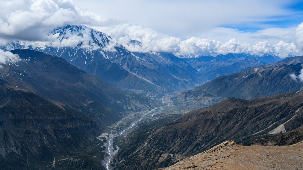
This part of the trek feels like a clear transition. The lower green valleys begin to open into drier and wider Himalayan terrain.
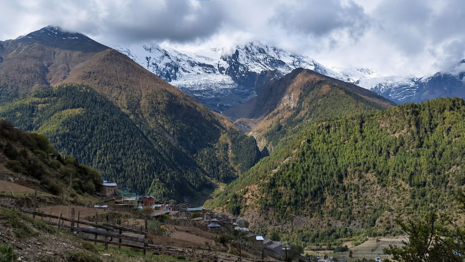
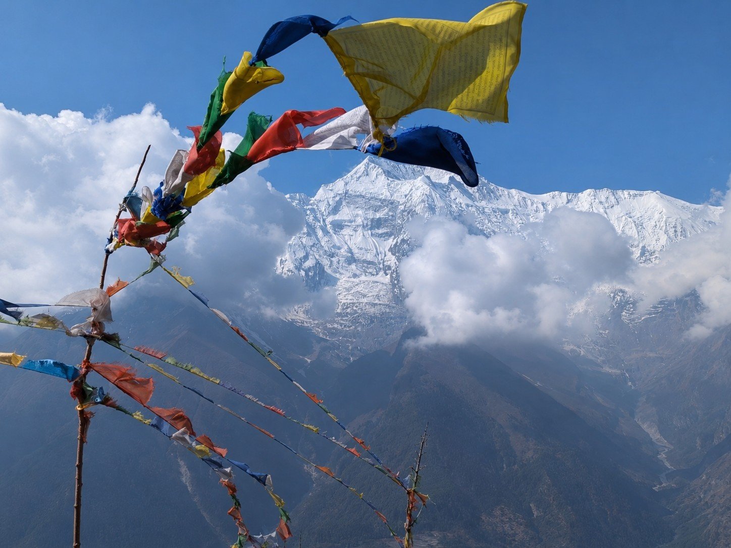
Pine forests, cliffs, river bends, stone houses, prayer flags, and views of Annapurna II and Pisang Peak make the walk more dramatic.
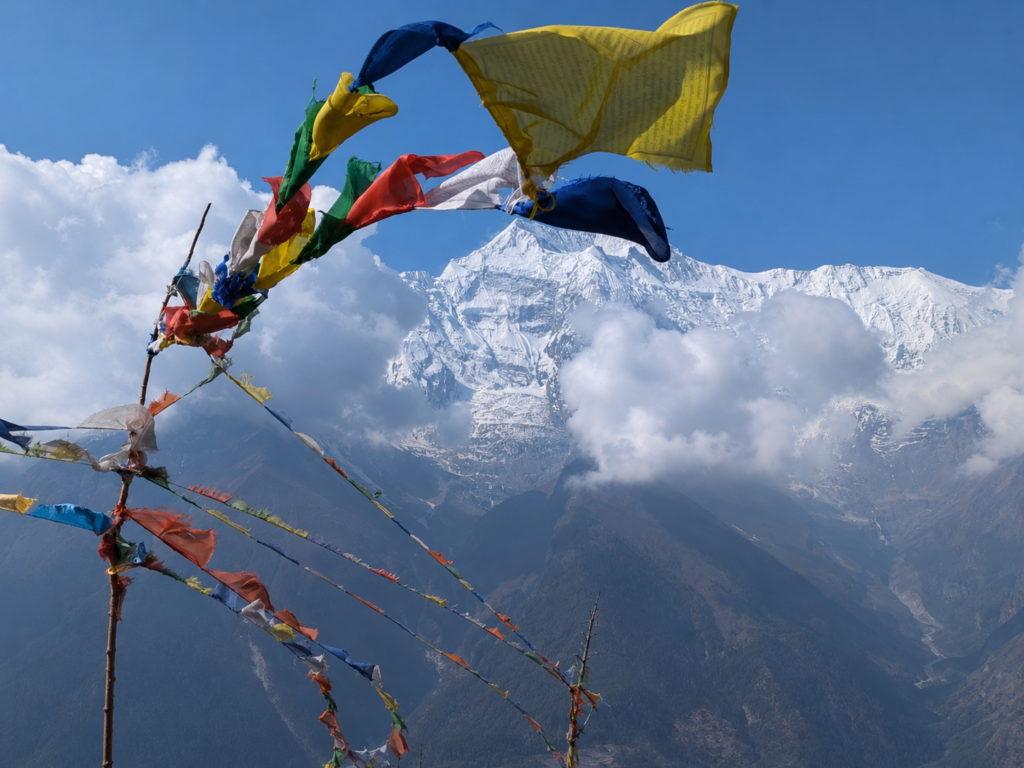
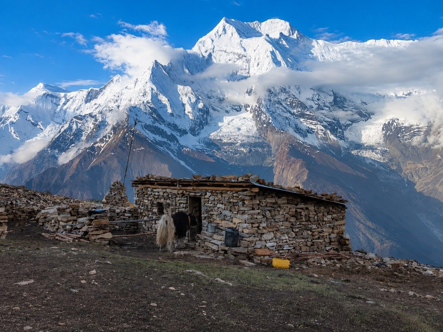
Upper Pisang itself has a special mountain atmosphere. It sits above the valley with old houses, quiet lanes, and wide views, making it a good place to pause before heading toward the climbing section.
An acclimatization day in Upper Pisang is important because the route is about to move into higher and more serious terrain.
This day is not just for sitting around. It helps your body adjust before sleeping at Base Camp and High Camp.
You can take a short hike, explore the village, walk to nearby viewpoints, or simply rest and hydrate.
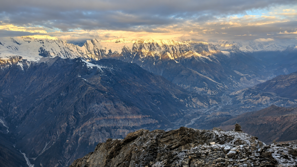
The surrounding views also help you understand where the climb sits in the wider Annapurna landscape.
From this point onward, the trip starts to feel less like a trek and more like a climbing journey.
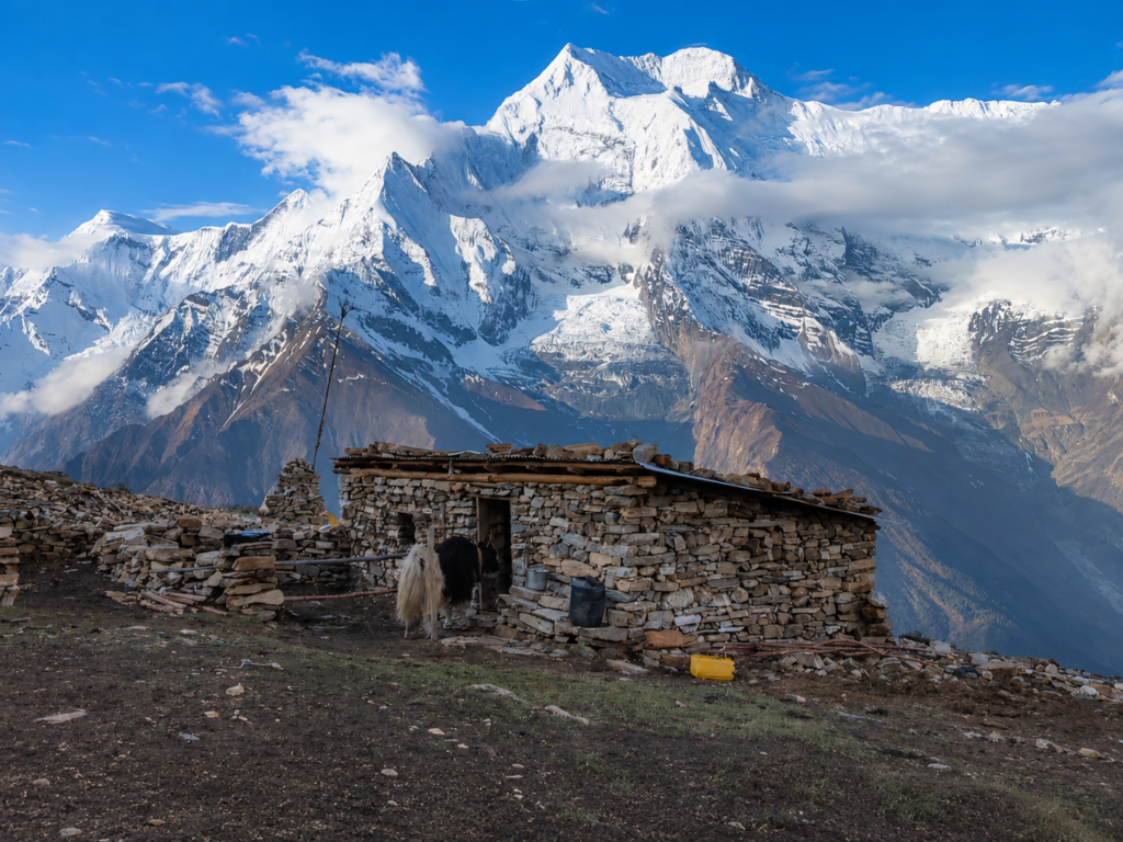
The walk to Pisang Peak Base Camp is where the route leaves the normal village trail and enters an alpine environment.
The trail climbs above Upper Pisang through open slopes and quieter terrain. Vegetation becomes thinner, the air feels lighter, and the mountain becomes the main focus.
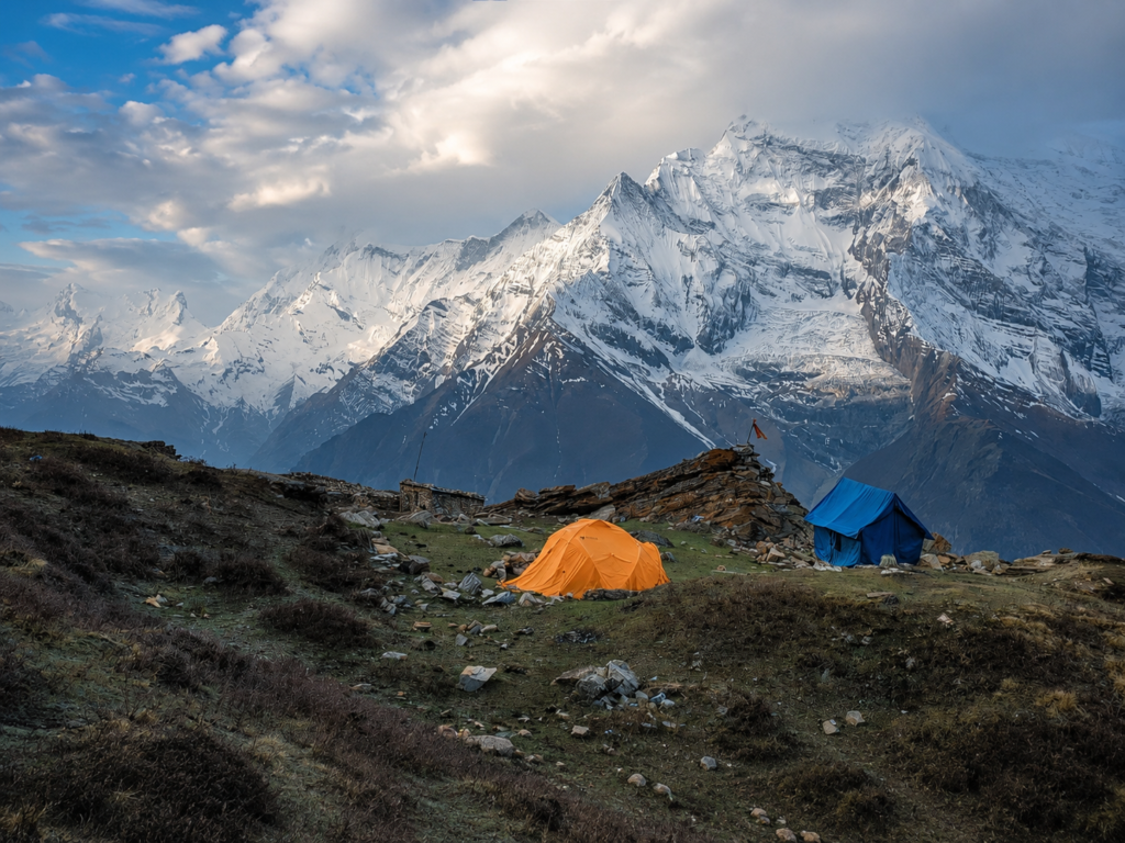
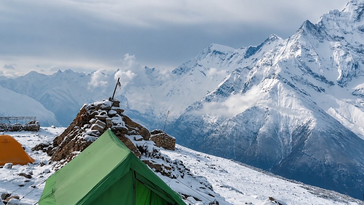
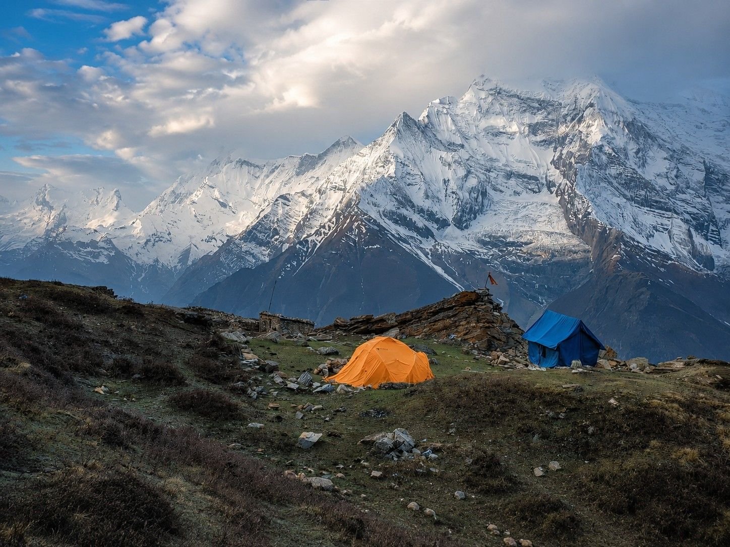
Base Camp is usually set in a suitable open area below the climbing route. This is where the expedition feeling becomes stronger.
Tents, climbing gear, guide briefings, and camp routines replace the comfort of teahouses for a short but important part of the journey.
From Base Camp, the route moves to High Camp. This day is not very long in distance, but it is slow and demanding because of the altitude. High Camp is colder and more exposed, and the body starts to feel the difference clearly.
The guide checks the climbing equipment, explains the summit plan, and prepares the team for an early morning start.
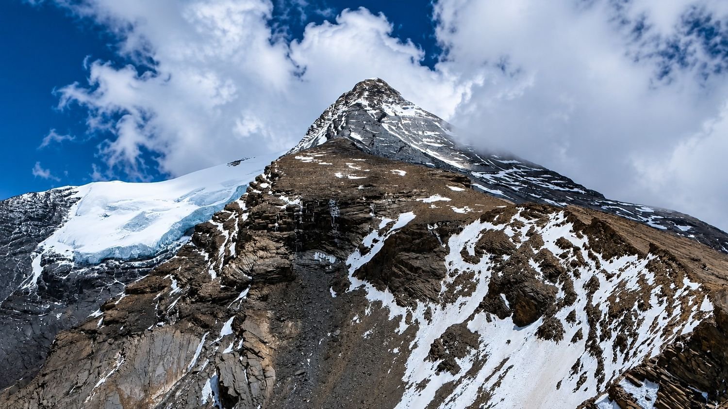
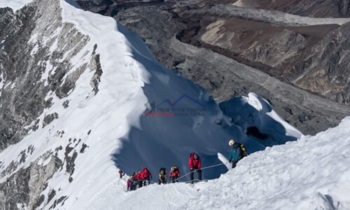
Depending on the season and mountain condition, the route may involve rocky ground, snow slopes, fixed rope sections, crampon use, and careful movement.
This is where the value of an experienced climbing guide becomes very important.
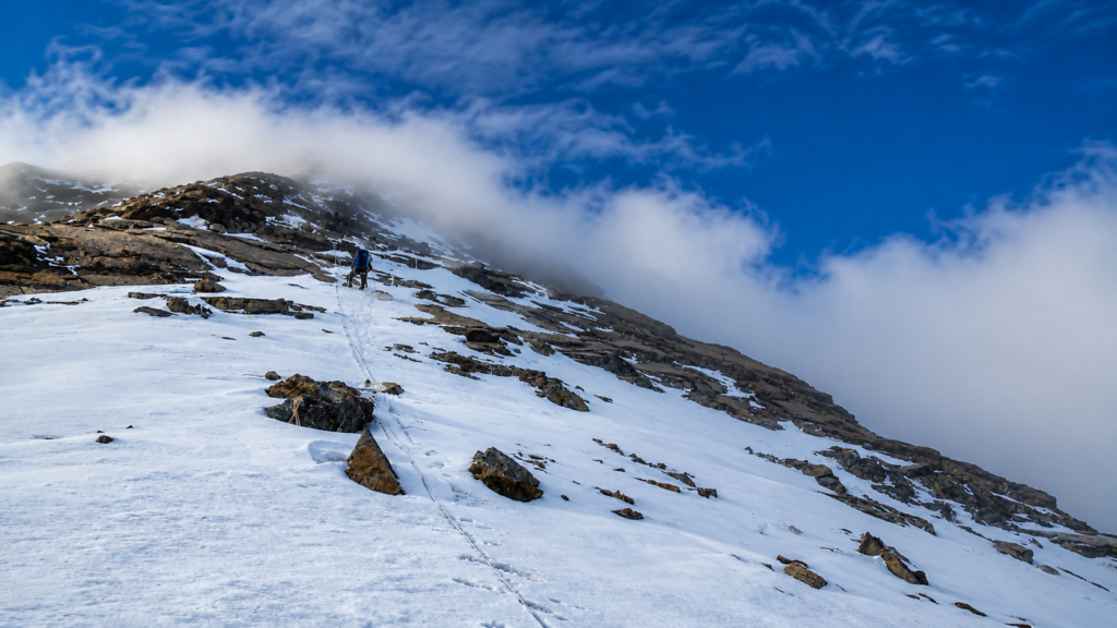
Summit day is the biggest challenge of Pisang Peak Climbing. The climb normally begins very early, often before sunrise, because mountain weather can change later in the day.
The cold, darkness, altitude, and slow pace make the start feel serious. Step by step, the route climbs toward the summit area through mixed terrain that may include snow, ice, rock, and steeper sections.
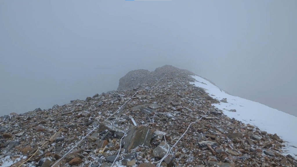
Pisang Peak is not an extreme expedition peak, but it is still a real climb. It requires focus, patience, and respect for the mountain. The final push to the summit can feel tiring, but the reward is huge.
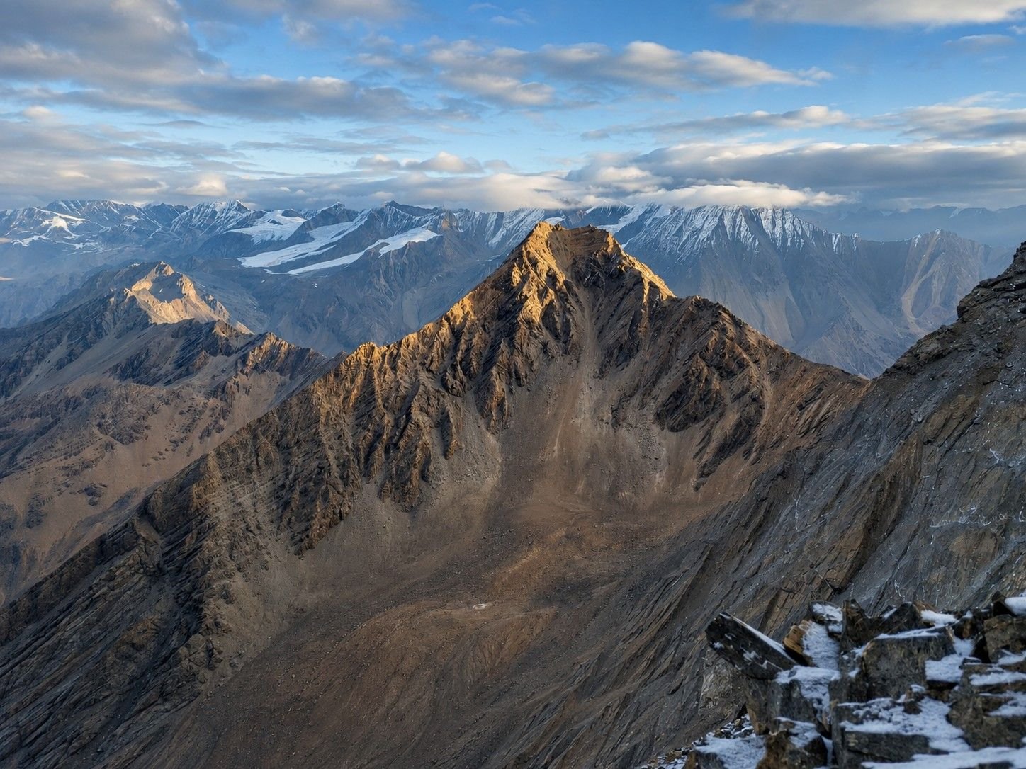
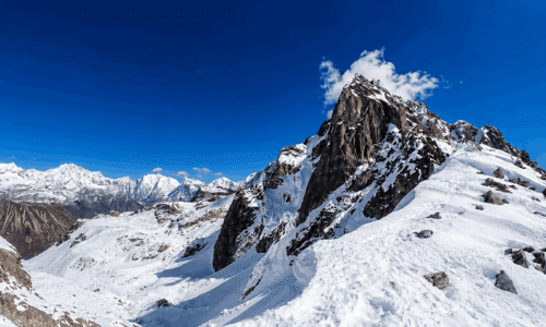
Standing on Pisang Peak at around 6,091 metres is a proud moment. On a clear day, the Annapurna range spreads around you in every direction.
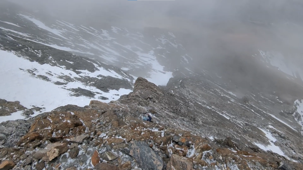
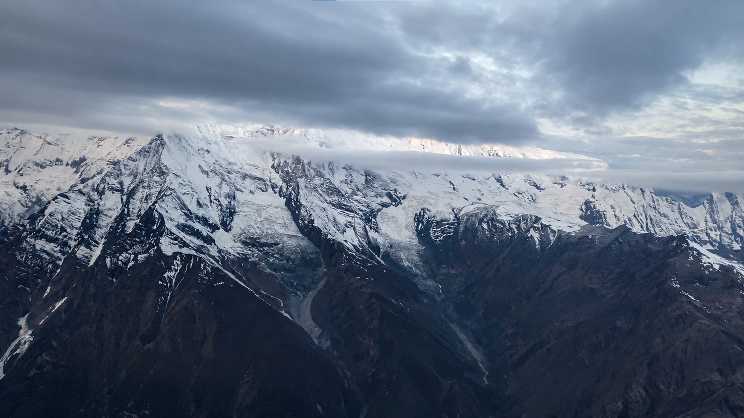
Annapurna II, Annapurna III, Annapurna IV, Gangapurna, Tilicho Peak, Chulu peaks, and Manaslu can all appear across the skyline.
The view feels different from a trekking viewpoint because you have earned it through a proper climb.
After enjoying the summit, the descent must be done carefully. Many climbers forget that coming down is still part of the challenge.
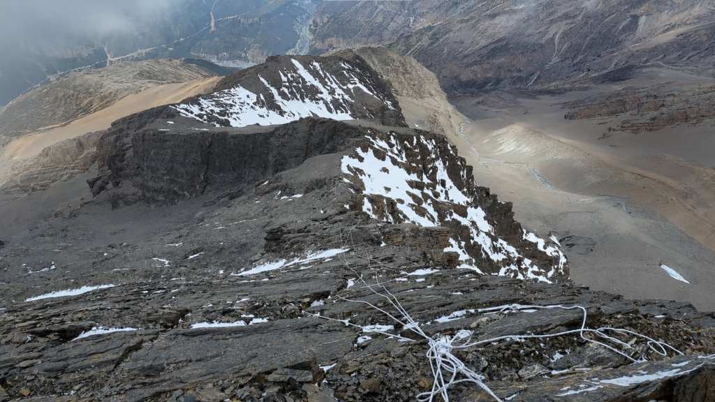
The route returns to Base Camp, where the hardest climbing section is complete.
After the climb, the journey continues instead of simply ending. This is one of the best parts of the itinerary.
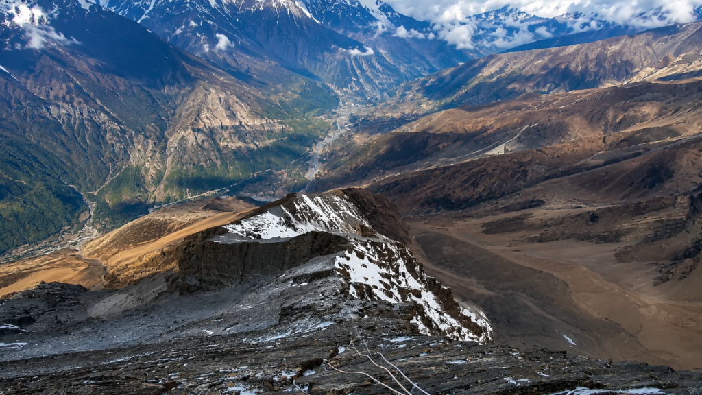
The route moves toward Manang, giving you a chance to recover while staying inside the high Annapurna landscape.
Manang is one of the most important villages in the region, with lodges, bakeries, monasteries, old houses, and wide mountain views.
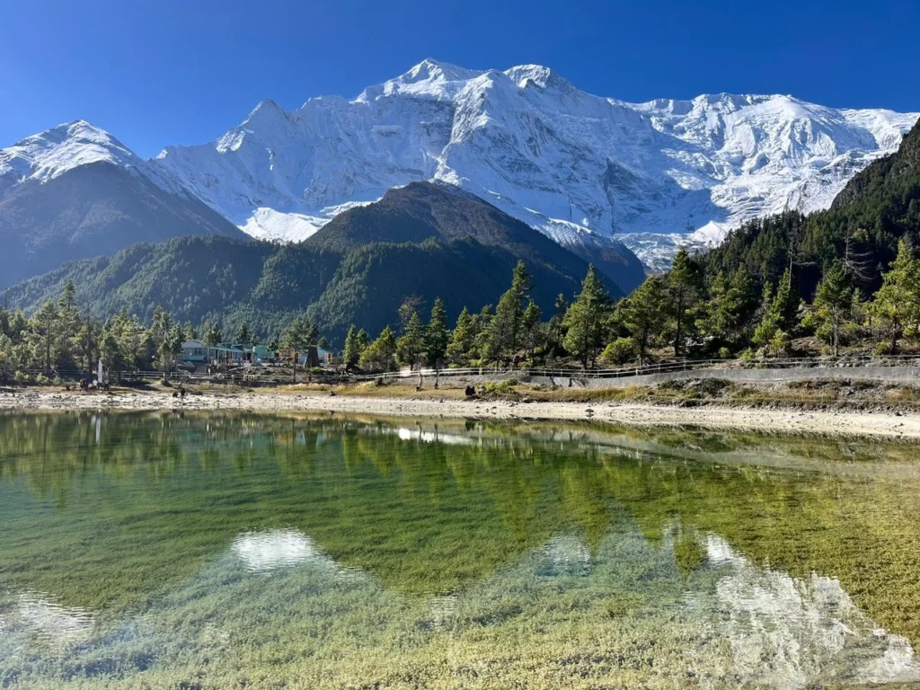
After the intensity of the climb, reaching Manang feels comfortable and rewarding. It also connects the climbing experience with the classic high route of the Annapurna region.
From Manang, the trail continues toward Yak Kharka and Thorong Phedi. These places sit in dry, open, high altitude terrain where the landscape becomes quieter and more exposed.
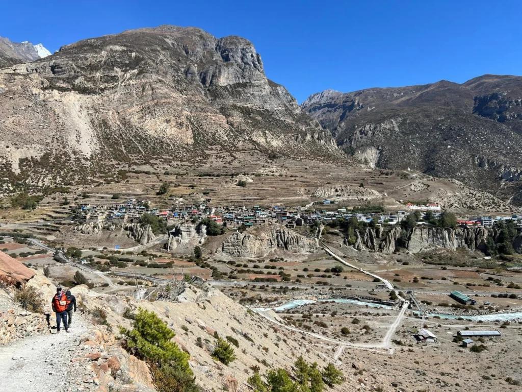
Even after climbing Pisang Peak, you still need to walk carefully because the route remains above 4,000 metres.
The body may be stronger after acclimatization, but altitude always deserves respect. Thorong Phedi becomes the final stop before another major challenge, the crossing of Thorong La Pass.
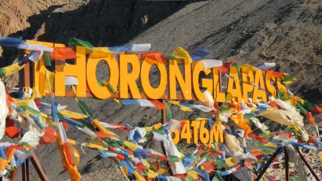
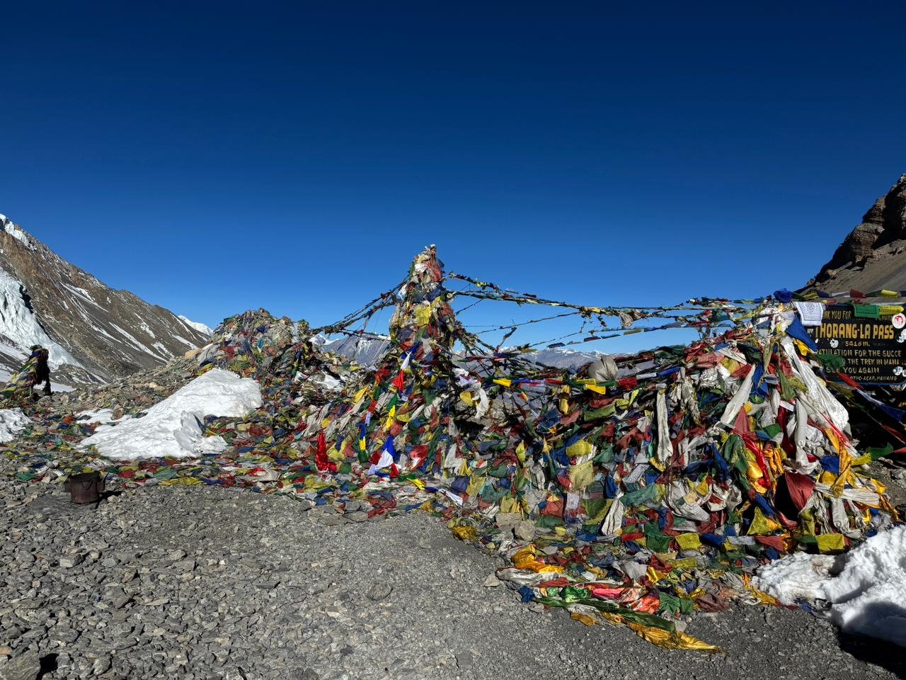
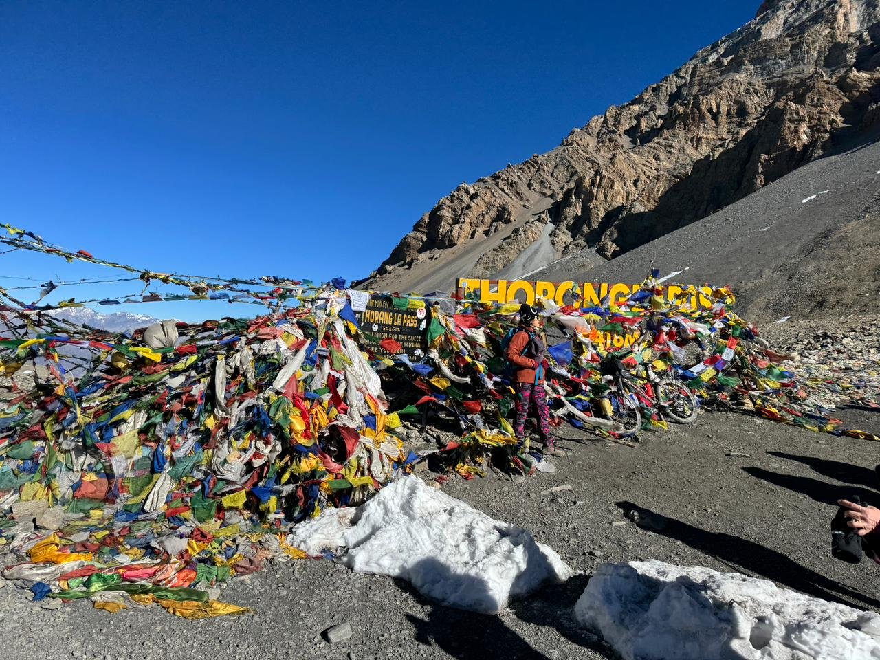
Thorong La Pass is not a climbing summit, but it is one of the most famous high passes in Nepal. At around 5,416 metres, it connects the Manang side with the Mustang side of the Annapurna region.
The day starts early and involves steady uphill walking, cold air, strong wind, and a long descent to Muktinath.
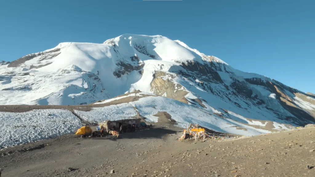
After the technical effort of Pisang Peak, Thorong La gives the journey another kind of achievement. It is a high mountain crossing with a completely different feeling from the summit climb.
The descent to Muktinath brings a major change in scenery. The green and alpine landscapes of the Manang side give way to the dry, open, and windy terrain of Mustang.
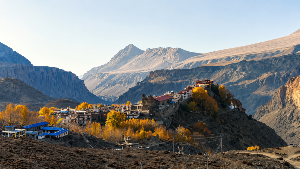
Muktinath is known for its spiritual and cultural importance, as well as its peaceful mountain setting. From there, the route continues by road to Jomsom through the Kali Gandaki valley.
This part of the trip feels like a gradual return from the high mountains back toward easier travel. The flight from Jomsom to Pokhara gives a beautiful final view of the Annapurna and Dhaulagiri region when the weather is clear.
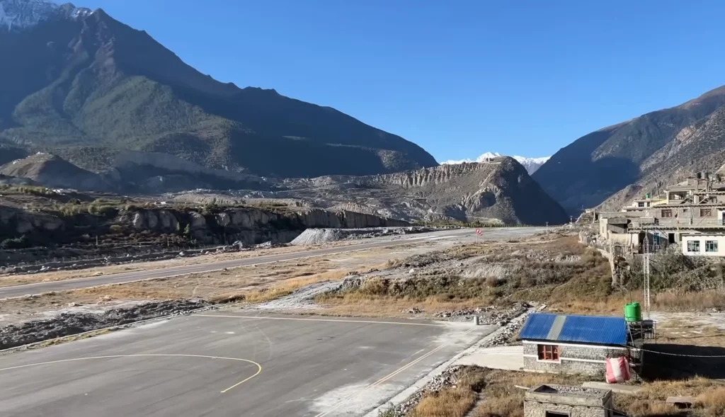
Pokhara is the soft landing after many demanding days in the mountains. Lakeside comfort, warmer air, restaurants, hotel facilities, and views of the Annapurna range make it a pleasant place to rest after the climb and pass crossing.
The final drive back to Kathmandu completes the journey, bringing you from remote high camps, summit slopes, and Mustang valleys back to the capital.
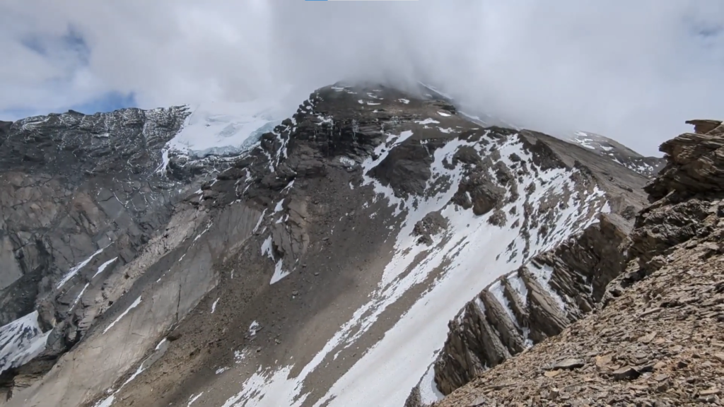
Pisang Peak Climbing is best suited for physically fit trekkers who want to try Himalayan climbing without jumping straight into a major expedition.
Previous climbing experience is helpful, but the climb can also be possible for strong trekkers who are ready to learn basic mountaineering skills and follow the guidance of a professional climbing guide.
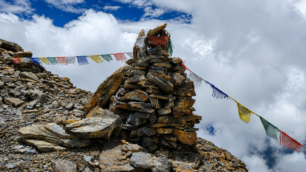
Good fitness, patience, proper gear, and a serious attitude are important. This is not a casual trek. It includes high altitude, tented camps, cold conditions, summit pressure, and changing weather.
The best seasons are spring and autumn. Spring usually brings better climbing conditions and warmer temperatures, while autumn is known for clear skies and sharp mountain views.
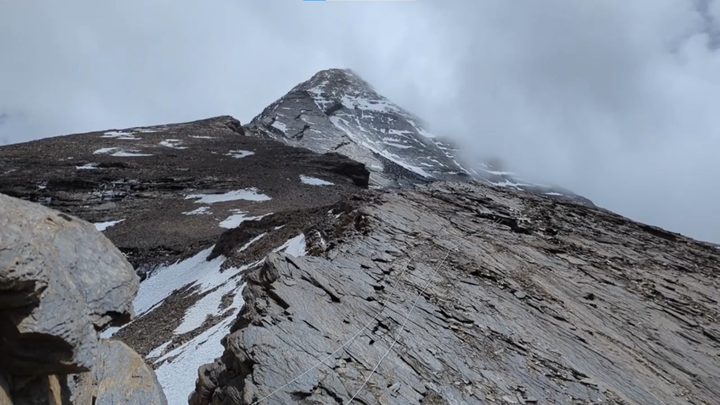
Winter is colder and more demanding, and monsoon is usually less suitable because of rain, cloud, unstable trails, and difficult mountain conditions.
Pisang Peak Climbing is a complete Annapurna adventure for travellers who want more than walking from village to village.
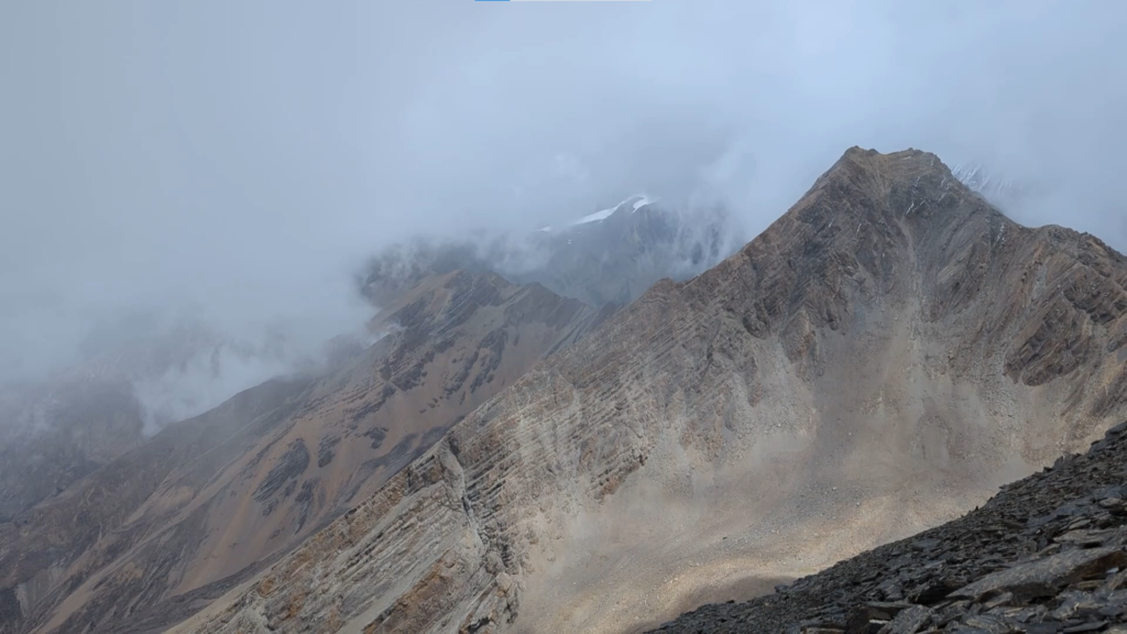
It gives you the classic Annapurna approach, the challenge of a 6,000 metre summit, the beauty of Manang, the crossing of Thorong La Pass, the Mustang side of the trail, and a scenic return through Jomsom and Pokhara.
The trip is demanding, but that is exactly what makes it memorable. For anyone looking for a trip that blends trekking, climbing, culture, altitude, and big mountain scenery, Pisang Peak Climbing is one of the most rewarding choices in Nepal.
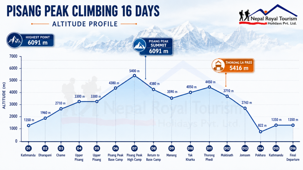
Altitude Range and Character
| Section | Altitude Range | Terrain Character |
|---|---|---|
| Kathmandu and approach drive | 1,350 m to around 1,960 m | City stay, road travel, river valleys, hill towns, and entry into the Annapurna trail |
| Lower Annapurna approach | 1,960 m to 3,300 m | Forest trail, Marsyangdi valley, cliffs, villages, waterfalls, and gradual altitude gain |
| Pisang Peak climbing zone | 3,300 m to 6,091 m | Upper Pisang, alpine slopes, Base Camp, High Camp, snow sections, rope work, and summit terrain |
| Manang and Thorong La section | 3,590 m to 5,416 m | Dry upper valley, yak pastures, high alpine trail, Thorong Phedi, and Thorong La Pass |
| Mustang descent and return | 3,710 m down to 822 m and back to 1,350 m | Muktinath, Jomsom, Kali Gandaki valley, scenic flight to Pokhara, and road return to Kathmandu |
Difficulty Overview
| Factor | Level | Notes |
|---|---|---|
| Physical demand | Strenuous | Long trekking days, high altitude travel, summit push, and Thorong La crossing require strong fitness |
| Maximum altitude | Very High | Pisang Peak reaches around 6,091 m, making altitude one of the main challenges of the trip |
| Technical difficulty | Moderate | Basic climbing skills, rope use, crampons, ice axe, harness, and helmet may be required on summit day |
| Altitude risk | High | The route moves above 4,000 m for several days and reaches both Pisang Peak and Thorong La Pass |
| Weather exposure | High | Summit day, High Camp, and Thorong La can be affected by snow, wind, cold, and changing mountain weather |
| Experience level | Fit Beginner to Intermediate Climber | Previous trekking experience is important, while basic climbing training can be handled by the climbing guide |
Best Season and Climbing Conditions
| Season | Climbing Feel | Important Notes |
|---|---|---|
| Spring | One of the best seasons with warmer climbing conditions and active mountain routes | Snow may still remain on higher sections, so climbing guide decision and route safety are important |
| Autumn | Clear skies, sharp mountain views, and stable trekking conditions on most days | Mornings and nights can be cold at Base Camp, High Camp, summit route, and Thorong La Pass |
| Winter | Very cold and more demanding, especially around High Camp, summit day, and Thorong La | Only suitable for experienced and well prepared climbers with proper cold weather equipment |
| Monsoon | Less suitable because of cloud, rain, unstable trail sections, and poor visibility | Flight delays, landslides, wet trails, and difficult climbing conditions are more likely |
Climbing Gear and Equipment
| Gear Type | Items | Use During Climb |
|---|---|---|
| Personal climbing gear | Climbing boots, crampons, harness, helmet, ice axe, ascender, carabiners, and descender | Used during High Camp movement and summit day depending on snow and route condition |
| Group climbing gear | Ropes, snow bars, safety anchors, ice screws, and other shared climbing equipment as required | Used by the climbing guide for safety, route management, and fixed rope sections where needed |
| Camping gear | Tent, sleeping mat, kitchen setup, dining support, and camp equipment | Used at Pisang Peak Base Camp and High Camp during the climbing section |
| Cold protection | Down jacket, insulated gloves, thermal layers, warm socks, balaclava, and windproof shell | Needed for High Camp, early summit start, exposed ridges, and cold morning conditions |
Clothing Layers for All Seasons
| Layer | Items |
|---|---|
| Base layer | Moisture wicking T shirts, thermal tops, thermal leggings, quick dry innerwear, and trekking socks |
| Mid layer | Fleece jacket, warm trekking shirt, light insulation layer, and comfortable teahouse clothing |
| Outer layer | Waterproof jacket, windproof shell, waterproof trousers, and strong weather protection for High Camp and Thorong La |
| Summit warmth | Down jacket, insulated trousers if needed, warm gloves, wool hat, balaclava, neck gaiter, and extra warm socks |
| Sun and wind protection | High UV sunglasses, glacier glasses if available, sunscreen, lip balm, sun hat, buff, and windproof gloves |
Essential Gear
| Category | Items |
|---|---|
| Footwear | Well broken in trekking boots, climbing boots, warm socks, spare socks, and sandals or slippers for teahouses |
| Backpack | Daypack, rain cover, duffel bag, dry bag, and small pouch for important documents and electronics |
| Sleeping | Warm sleeping bag rated for cold high altitude nights, liner, and compact pillow if preferred |
| Hydration | Reusable water bottles, thermos flask, purification tablets or filter, and electrolyte sachets |
| Safety | Personal first aid kit, blister care, prescribed medicine, altitude medicine if advised, sunscreen, and lip balm |
| Extras | Trekking poles, headlamp with spare batteries, power bank, camera, memory card, adapter, towel, and wet wipes |
Documents and Permits
| Category | Items |
|---|---|
| Travel documents | Passport, Nepal visa, international flight details, travel insurance, and emergency contact information |
| Climbing permit | Pisang Peak climbing permit arranged as per current Nepal Mountaineering Association rules |
| Trekking documents | Annapurna Conservation Area Permit and applicable trekking documents as per latest regulations |
| Insurance | Travel and medical insurance covering high altitude climbing, emergency rescue, helicopter evacuation, and trip interruption |
| Money | Nepali cash for drinks, snacks, hot showers, charging, Wi Fi, personal expenses, and tips |
| Personal care | Toiletries, wet wipes, moisturizer, lip balm, tissues, hand sanitizer, and personal hygiene items |
Trip Highlights
- Climb Pisang Peak at around 6,091 metres, one of the most popular trekking peaks in the Annapurna region for climbers who want a real Himalayan summit experience
- Follow the classic Annapurna approach trail through Dharapani, Chame, and Upper Pisang while watching the landscape change from forested river valleys to dry alpine terrain
- Spend time in Upper Pisang, a beautiful old village with traditional houses, prayer flags, mountain views, and an important acclimatization setting before the climbing section begins
- Trek toward Pisang Peak Base Camp and enter a more remote alpine zone where the journey changes from normal trekking into a proper climbing expedition
- Stay at Base Camp and High Camp during the climbing section, giving the trip a true mountain expedition feeling with tents, climbing equipment, and summit preparation
- Learn and use basic climbing techniques under the guidance of an experienced climbing guide, including rope movement, crampon use, ice axe handling, and safety procedures where required
- Experience the early morning summit push, the most demanding part of the trip, where altitude, cold, snow, and steep sections make the climb serious and memorable
- Enjoy wide summit views of Annapurna II, Annapurna III, Annapurna IV, Gangapurna, Tilicho Peak, Chulu range, Manaslu, and the surrounding Annapurna landscape when the weather is clear
- Continue toward Manang after the climb, giving the body time to recover while still moving through one of the most scenic high altitude valleys in the Annapurna region
- Cross Thorong La Pass at around 5,416 metres, adding another major Himalayan achievement after the Pisang Peak summit
- Descend toward Muktinath and the Mustang side of the Annapurna region, where the landscape becomes dry, open, windy, and culturally different from the Manang side
- Finish the mountain section with Jomsom and a scenic flight to Pokhara, creating a complete and rewarding ending instead of returning the same way after the climb
Pisang Peak Climbing – 16 Days ~ Itinerary
Day 1
Arrival in Kathmandu
- Altitude: 1,350 m
- Accommodation: Standard Three Star Hotel in Thamel
After completing airport formalities, our representative will receive you and transfer you to your hotel from Tribhuvan Int’l Airport. The rest of the day is kept easy for rest and recovery after your international flight. In the evening, you meet the team for a short briefing about the route, climbing section, altitude, accommodation, meals, transportation, permits, equipment, safety, and the overall plan for Pisang Peak Climbing.
Day 2
Drive from Kathmandu to Dharapani
- Altitude: 1,960 m
- Travel Duration: 7 to 8 hours
- Travel Distance: 225 km
- Meal: Breakfast and Lunch
- Accommodation: Teahouse in Dharapani
After breakfast, you leave Kathmandu and begin the long drive toward Dharapani, the starting point of the trekking route. The road follows busy highway sections at first, then moves through river valleys, farmland, hill towns, and mountain roads. You drive through Besisahar and continue along the Marsyangdi valley, where the road becomes rougher and more scenic. This day is mainly about reaching the trailhead, but it also gives the first look at the changing landscape of central Nepal. Dharapani is a mountain village on the Annapurna route and a comfortable first overnight stop.
Day 3
Trek from Dharapani to Chame
- Altitude: 2,170 m
- Trek Duration: 5 to 6 hours
- Trek Distance: 15 to 16 km
- Meal: Breakfast, Lunch and Dinner
- Accommodation: Teahouse in Chame
The first trekking day begins from Dharapani and follows the Marsyangdi valley toward Chame. The route passes through pine forest, river sections, small settlements, and gradual uphill terrain. You may walk through places such as Bagarchhap, Danaque, Timang, and Koto depending on the trail and road condition used by the guide. The air becomes cooler as the route gains altitude, and mountain views start becoming stronger. Chame is the district headquarters of Manang and an important overnight stop before the trail continues toward the Pisang area.
Day 4
Trek from Chame to Upper Pisang
- Altitude: 3,300 m
- Trek Duration: 6 to 7 hours
- Trek Distance: Around 14 to 16 km
- Meal: Breakfast, Lunch and Dinner
- Accommodation: Teahouse in Upper Pisang
Today the trail continues through the upper Marsyangdi valley, where the scenery becomes more dramatic. The route passes forest, cliffs, river bends, suspension bridges, and narrow valley sections before opening toward the Pisang area. You may pass places such as Bhratang and Dhukur Pokhari along the way. The mountain views become stronger, especially around Annapurna II and Pisang Peak. Upper Pisang is a beautiful old village with traditional houses, prayer flags, and wide views.
Day 5
Acclimatization Day in Upper Pisang
- Altitude: 3,300 m
- Meal: Breakfast, Lunch and Dinner
- Accommodation: Teahouse in Upper Pisang
This day is kept for acclimatization before the route moves higher toward Pisang Peak Base Camp. You can take a short hike around Upper Pisang, visit nearby viewpoints, explore the village, or walk gently toward higher ground before returning to the same overnight altitude. The day helps your body adjust before entering the climbing zone. Upper Pisang offers excellent views of Annapurna II, Pisang Peak, and the surrounding valley when the weather is clear. Rest, hydration, slow movement, and proper food are important because the trip now begins to move into serious altitude.
Day 6
Trek from Upper Pisang to Pisang Peak Base Camp
- Altitude: 4,380 m
- Trek Duration: 4 to 5 hours
- Trek Distance: 6 to 8 km
- Meal: Breakfast, Lunch and Dinner
- Accommodation: Tented Camp at Pisang Peak Base Camp
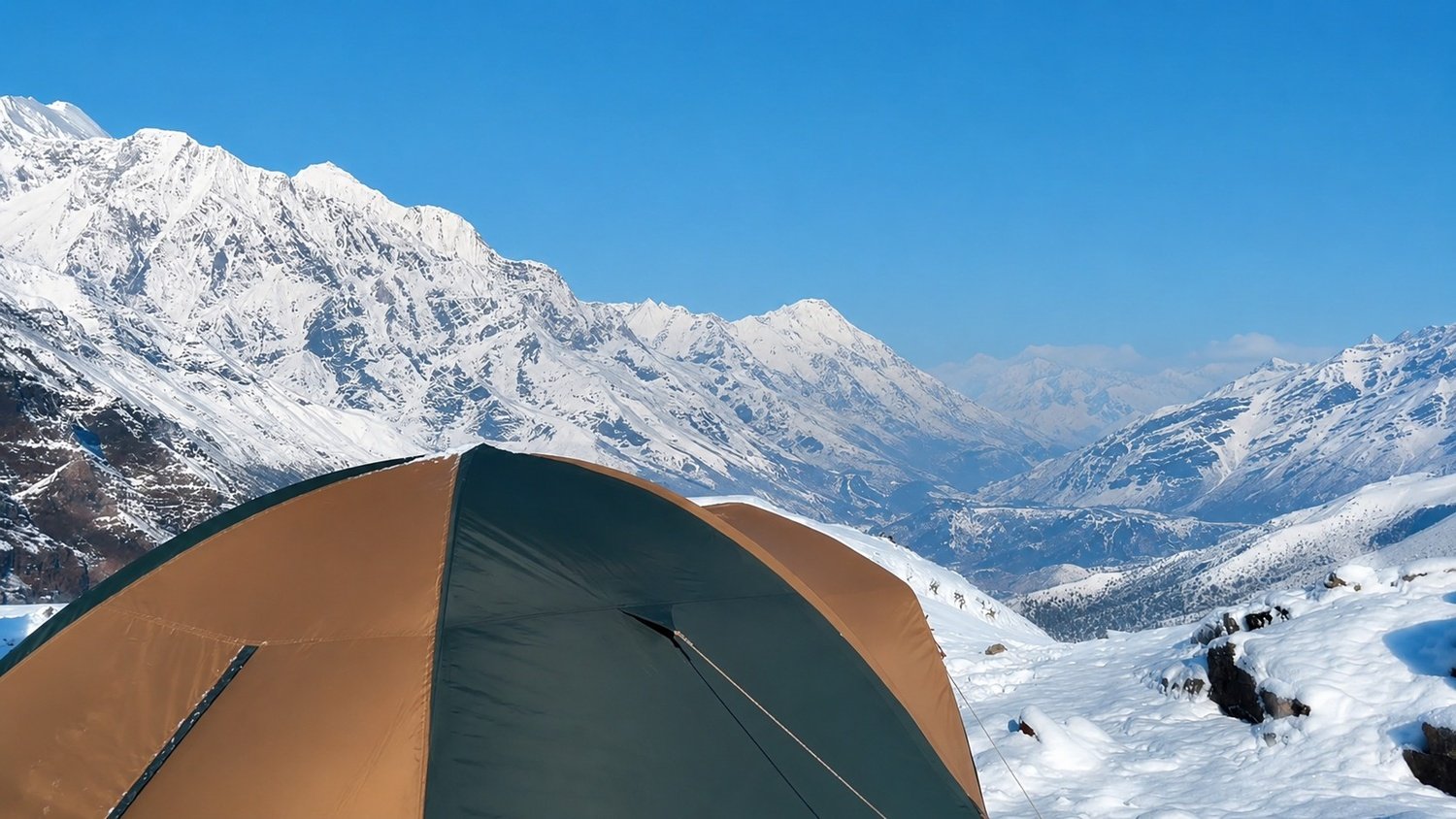
After breakfast, the trail leaves Upper Pisang and climbs toward Pisang Peak Base Camp. The route becomes steeper and more open as you move away from the main village trail. The landscape changes into alpine slopes, scattered vegetation, and wide mountain scenery. Walking slowly is important because the altitude gain is noticeable today. Base Camp is usually set in a suitable open area below the climbing route. After reaching camp, the team prepares tents, checks equipment, and reviews the climbing plan. The night at Base Camp gives the journey a proper expedition feeling.
Day 7
Climb from Base Camp to High Camp
- Altitude: 5,400
- Trek Duration: 4 to 5 hours
- Trek Distance: 3 to 4 km
- Meal: Breakfast, Lunch and Dinner
- Accommodation: Tented Camp at Pisang Peak High Camp
Today you climb from Base Camp toward Pisang Peak High Camp. The route is shorter in distance, but the altitude makes the movement slow and demanding. Depending on trail and snow conditions, the climb may involve rocky sections, moraine like terrain, and steeper slopes as you move higher. High Camp is colder and more exposed than Base Camp, but it places the team in a better position for the summit attempt. After reaching camp, the guide checks climbing gear, explains summit day timing, and prepares the group for an early morning start.
Day 8
Summit Pisang Peak and Return to Base Camp
- Altitude: 6,091 m at Pisang Peak Summit and around 4,380 m at Base Camp
- Trek Duration: 8 to 10 hours
- Trek Distance: 7 to 9 km
- Meal: Breakfast, Lunch and Dinner
- Accommodation: Tented Camp at Pisang Peak Base Camp
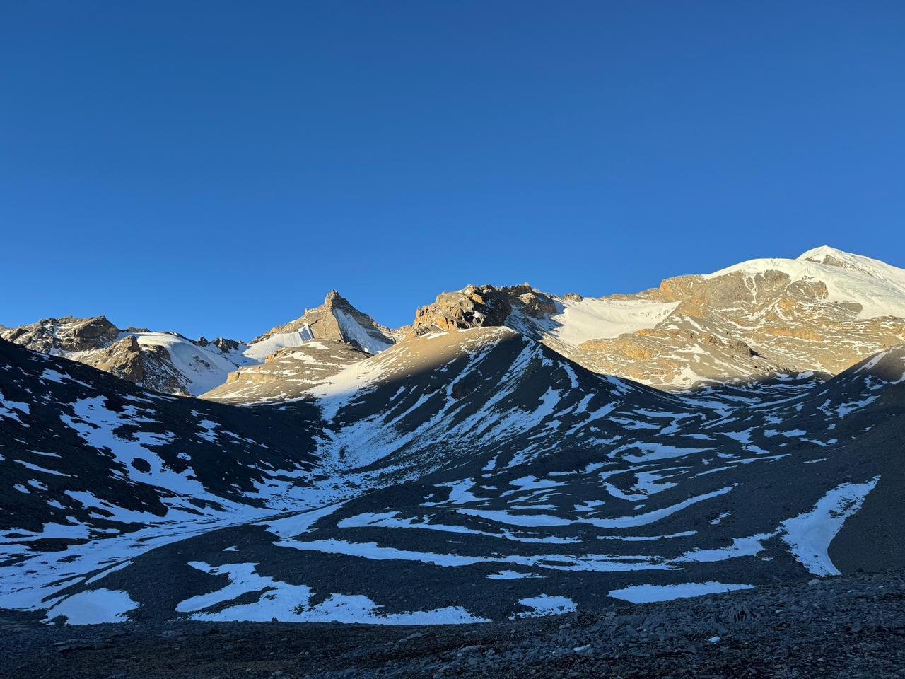
This is the most important and demanding day of the trip. The summit climb starts very early from High Camp, often before sunrise, because weather and wind can become stronger later in the day. The route may include snow, ice, rocky ground, steep sections, and fixed rope support depending on conditions. You climb slowly with the guidance of the climbing leader and use proper equipment where required. From the summit, views of Annapurna, Gangapurna, Tilicho Peak, Chulu range, and the surrounding Himalayas can be excellent. After the summit, you descend carefully back to Base Camp.
Day 9
Trek from Pisang Base Camp to Manang
- Altitude: 3,590 m
- Trek Duration: 5 to 6 hours
- Trek Distance: 11 to 13 km
- Meal: Breakfast, Lunch and Dinner
- Accommodation: Teahouse in Manang
After completing the climbing section, the route descends from Pisang Peak Base Camp and reconnects with the main trail toward Manang. The walk feels easier because you are moving down from the high camp environment, but the body may still be tired after summit day. The trail passes through dry slopes, open valleys, old settlements, prayer flags, and wide views of the upper Manang region. Manang is one of the most important villages on the Annapurna route, with lodges, bakeries, monasteries, and beautiful mountain surroundings. This is a good place to recover after the climb.
Day 10
Trek from Manang to Yak Kharka
- Altitude:4,050 m
- Trek Duration: 4 to 5 hours
- Trek Distance: 9 to 10 km
- Meal: Breakfast, Lunch and Dinner
- Accommodation: Teahouse in Yak Kharka
The trail leaves Manang and gradually climbs toward Yak Kharka. This section is important because the route moves back above 4,000 metres after the climb. The landscape becomes drier, colder, and more open, with fewer trees and wide views across the high valley. You may pass small settlements, grazing areas, mani walls, and mountain ridges along the way. Since the body has already experienced high altitude during Pisang Peak, the walking may feel manageable, but steady pacing is still important. Yak Kharka is a common overnight stop before moving toward Thorong Phedi.
Day 11
Trek from Yak Kharka to Thorong Phedi
- Altitude: 4,450 m
- Trek Duration: 5 to 6 hours
- Trek Distance: 8 to 10 km
- Meal: Breakfast, Lunch and Dinner
- Accommodation: Teahouse in Thorong Phedi
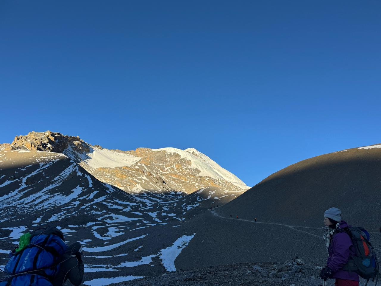
Today you trek from Yak Kharka toward Thorong Phedi, the base settlement before crossing Thorong La Pass. The route passes through Ledar and follows high alpine terrain with open slopes, river sections, and some landslide prone areas. The distance is not very long, but the altitude makes the day serious. You should walk slowly, drink enough water, and avoid unnecessary effort. Thorong Phedi is a basic but important overnight stop where trekkers rest, eat early, pack warm layers, and prepare for the early morning pass crossing.
Day 12
Trek from Thorong Phedi to Muktinath via Thorong La Pass
- Altitude: 5,416 m at Thorong La Pass and around 3,710 m at Muktinath
- Trek Duration: 7 to 8 hours
- Trek Distance: 15 to 16 km
- Meal: Breakfast, Lunch and Dinner
- Accommodation: Teahouse in Muktinath
This is another major high altitude day after the Pisang Peak summit. You start early from Thorong Phedi and climb slowly toward Thorong La Pass at around 5,416 metres. The trail is not technical, but the altitude, cold morning, wind, and long walking hours make it demanding. After reaching the pass, you descend toward Muktinath on the Mustang side. The landscape changes quickly from high alpine terrain to dry Mustang scenery. Muktinath is a respected mountain settlement known for its temple area, 108 water spouts, eternal flame, and peaceful setting.
Day 13
Drive from Muktinath to Jomsom
- Altitude: 2,743 m
- Drive Duration: 2 to 3 hours
- Drive Distance: Around 20 to 25 km
- Meal: Breakfast, Lunch and Dinner
- Accommodation: Teahouse in Jomsom
After breakfast, you drive from Muktinath down toward Jomsom through the dry and open landscape of lower Mustang. The route may pass through Jharkot, Kagbeni, Ekle Bhatti, and the wide Kali Gandaki valley depending on road conditions. This short drive gives time to enjoy the Mustang scenery without rushing after the Thorong La crossing. Jomsom is the main town of lower Mustang and has lodges, shops, transport access, and strong views of the surrounding dry valley landscape. The lower altitude also helps the body recover after several demanding high altitude days.
Day 14
Fly from Jomsom to Pokhara
- Altitude: 822 m
- Flight Duration: Around 20 to 25 minutes
- Flight Distance: 70 km
- Meal: Breakfast
- Accommodation: Standard Three Star Hotel in Pokhara
Early in the morning, you take a short scenic flight from Jomsom to Pokhara. The flight follows the Kali Gandaki valley and offers views of the Annapurna and Dhaulagiri region when the weather is clear. Jomsom flights are usually operated in the morning because the valley becomes windy later in the day. After arriving in Pokhara, the rest of the day is free to rest, enjoy Lakeside, and recover after the climbing and trekking section. Pokhara gives a comfortable ending to the mountain journey with lake views, restaurants, and hotel facilities.
Day 15
Drive from Pokhara to Kathmandu
- Altitude: 1,350 m
- Drive Duration: 6 to 7 hours
- Drive Distance: Around 200 km
- Meal: Breakfast and Lunch
- Accommodation: Standard Three Star Hotel in Kathmandu
After breakfast, you drive from Pokhara back to Kathmandu by tourist vehicle. The road follows the Prithvi Highway through river valleys, hill towns, terraced farmland, roadside settlements, and changing countryside scenery. After days in the Annapurna region, this travel day brings you back to the capital for the final night of the trip. Once in Kathmandu, you can rest at the hotel, explore Thamel, buy souvenirs, or enjoy a relaxed evening after completing Pisang Peak Climbing and crossing the high mountain route.
Day 16
Final Departure
- Meal: Breakfast
Your Pisang Peak Climbing journey ends today. Our representative will transfer you to Tribhuvan International Airport according to your international flight schedule. If your flight is later in the day, you may have free time for packing, resting, or a short walk around Kathmandu. You leave Nepal with memories of the Annapurna trail, Upper Pisang, Pisang Peak Base Camp, High Camp, Pisang Peak summit, Manang, Thorong La Pass, Muktinath, Jomsom, Pokhara, and the rewarding experience of climbing above 6,000 metres.
Pisang Peak Climbing – 16 Days Fixed Departures Dates
Trip Cost Includes/Excludes
Cost Includes
- Airport pick up and final drop off in Kathmandu by private vehicle
- 2 nights Three Star Hotel accommodation in Kathmandu on a twin sharing basis with breakfast
- 1 night Three Star Hotel accommodation in Pokhara on a twin sharing basis with breakfast
- Kathmandu to Dharapani ground transportation by tourist vehicle and private local jeep as per road condition
- Muktinath to Jomsom ground transportation by private vehicle
- Jomsom to Pokhara domestic flight ticket as per itinerary
- Pokhara to Kathmandu private transportation as per itinerary
- Best available teahouse accommodation during the trekking days
- Tented camp accommodation during Pisang Peak Base Camp and High Camp section
- Three meals a day during the trek and climbing section including breakfast, lunch, and dinner with a cup of Tea or Coffee
- Experienced government licensed English speaking trekking guide
- Experienced climbing guide for Pisang Peak climbing section
- Porter support during the trek with one porter for every two trekkers
- Pisang Peak climbing permit
- Annapurna Conservation Area Permit and applicable trekking documents as per latest regulations
- Group climbing equipment such as rope, snow bars, ice screws, and safety equipment as required for the climb
- Base Camp and High Camp kitchen equipment, dining tent, and camp support as per climbing arrangement
- Basic first aid kit carried by the trekking team
- Oximeter carried by the guide for checking oxygen level during high altitude travel
- Nepal Royal Tourism Holidays company T shirt as a trekking souvenir
- All applicable government taxes and official service charges
Cost Excludes
- International airfare to and from Nepal
- Nepal entry visa fee
- Lunch and dinner while staying in Kathmandu and Pokhara
- Travel and medical insurance including high altitude climbing, emergency rescue, helicopter evacuation, trip cancellation, and flight delay coverage
- Personal climbing equipment such as climbing boots, crampons, ice axe, harness, helmet, ascender, descender, carabiners, and climbing gloves
- Personal trekking equipment such as trekking boots, down jacket, sleeping bag, warm clothing, backpack, and accessories
- Personal expenses such as bottled water, hot drinks, soft drinks, alcohol, snacks, laundry, phone calls, internet, Wi Fi, battery charging, and hot showers
- Summit bonus for climbing guide and climbing support staff
- Extra porter, extra luggage charge, or personal riding support unless clearly included in the package
- Extra cost caused by itinerary changes or beyond company's control
- Pokhara to Kathmandu flight upgrade or private transport upgrade unless included in the selected package
- Single room supplement in Kathmandu or Pokhara if requested
- Tips for guide, climbing guide, porter, driver, and support staff, which are not mandatory but highly appreciated
- Any service, meal, permit, transport, climbing gear, or expense not clearly mentioned in the Cost Includes section
Trip Photo/Video Gallery
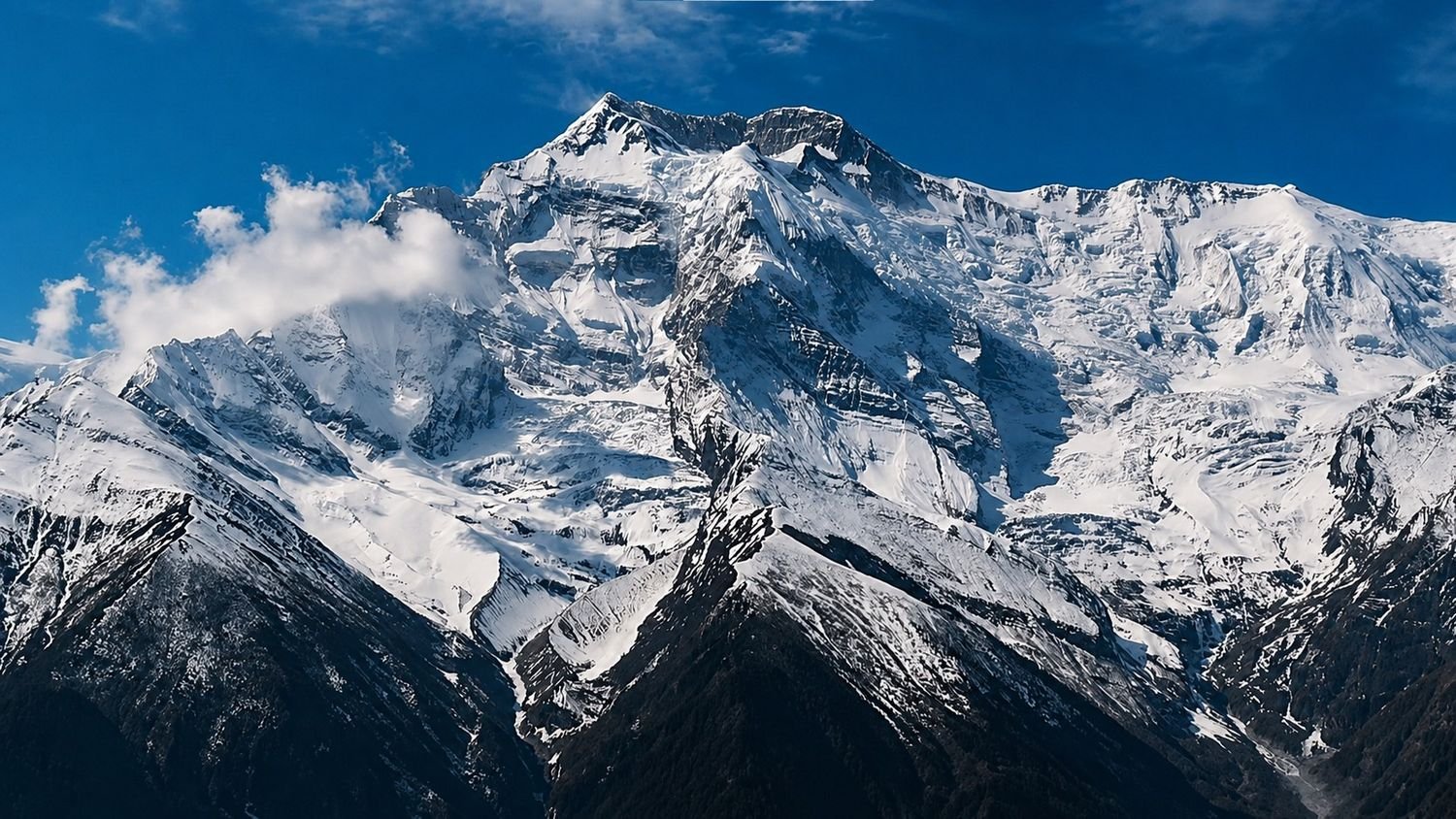
Route Map for Pisang Peak Climbing – 16 Days
Frequently Asked Questions
Pisang Peak can be suitable for fit beginners with strong trekking experience, but it is not a normal trek. Climbers should be comfortable with altitude, long walking days, cold conditions, and basic climbing equipment.
Pisang Peak reaches around 6,091 metres. This makes altitude a serious part of the climb, especially during High Camp and summit day.
Previous climbing experience is helpful but not always compulsory. The climbing guide will provide basic instruction, but good fitness and previous high altitude trekking experience are strongly recommended.
The summit day is the hardest day because it starts very early and involves high altitude climbing, cold conditions, snow or ice sections, and a long descent back to Base Camp. Thorong La Pass is also a demanding day.
No, the summit is not guaranteed. The final decision depends on weather, snow condition, route safety, health condition, climbing guide decision, and overall group safety.
You may need climbing boots, crampons, ice axe, harness, helmet, ascender, descender, carabiners, warm gloves, and proper high altitude clothing. Some personal gear can be rented in Kathmandu if arranged in advance.
The trip requires a Pisang Peak climbing permit, Annapurna Conservation Area Permit, and applicable trekking documents as per the latest regulations. The company arranges the required permits for the package.
Spring and autumn are the best seasons. Spring usually gives warmer climbing conditions, while autumn often offers clear skies and sharp mountain views.
Yes, altitude sickness can happen because the trip reaches above 6,000 metres and spends several days at high altitude. Slow pacing, hydration, acclimatization, and guide advice are very important.
You stay in hotels in Kathmandu and Pokhara, teahouses during the trekking section, and tented camps during the Pisang Peak Base Camp and High Camp section.
The itinerary is designed to continue through Manang, Thorong La, Muktinath, and Jomsom. If weather, health, or personal condition requires a change, the route can be adjusted with the guide and company.
Jomsom flights depend on weather and wind conditions. If the flight is delayed or cancelled, the guide will help arrange the safest available alternative, but extra costs caused by delay or route change are usually not included.
Leave a Review
Pisang Peak Climbing – 16 Days
4 Reviews to Pisang Peak Climbing – 16 Days
You may also like
Menu

Gabriella Hawthorne
at 6:59 pm
Perfect Blend of Trekking and Peak Climbing
If you’re looking for a challenging yet achievable Himalayan expedition, Pisang Peak is an excellent choice. Nepal Royal Tourism provided outstanding support from start to finish. The guides prioritized safety, encouraged us during difficult sections, and ensured everyone was properly acclimatized. The summit views were beyond anything I had imagined, making this journey worth every step.
Oliver Sandberg
at 3:16 pm
Outstanding Service Throughout the Expedition
I had an incredible time climbing Pisang Peak with Nepal Royal Tourism. The Annapurna region is incredibly beautiful, and every day offered stunning mountain scenery and welcoming local villages. The climbing equipment was well prepared, the meals were excellent, and the Sherpa team was always supportive. This was one of the best adventure holidays I’ve ever experienced, and I would definitely return for another Himalayan peak.
Claire Moreau
at 10:10 pm
Professional Guides and Excellent Organization
From the moment I arrived in Kathmandu until the end of the trek, everything was perfectly organized. The team at Nepal Royal Tourism handled permits, accommodation, transportation, and climbing logistics with great professionalism. Our guide patiently explained every technical section of the climb, making the experience enjoyable and safe. Pisang Peak is the perfect choice for those wanting to combine trekking with real mountaineering.
Dominic Ashcroft
at 10:59 pm
An Amazing First Himalayan Climbing Adventure
Pisang Peak Climbing with Nepal Royal Tourism was one of the most rewarding adventures of my life. The itinerary was well planned, giving us enough time to acclimatize before the summit push. Our Sherpa guide was highly professional and made us feel confident throughout the climb. Reaching the summit and enjoying panoramic views of Annapurna II, Gangapurna, and Manaslu was an unforgettable experience. I highly recommend Nepal Royal Tourism for anyone looking for a safe and well-organized climbing expedition.