

-
 Duration
15 Days
Duration
15 Days
-
 Difficulty
Moderate
Difficulty
Moderate
-
 Max Elevation
5,106m
Max Elevation
5,106m
-
 Group Size
1 to 10 Pax Person
Group Size
1 to 10 Pax Person
-
 Accommodation
Hotel/Tea House
Accommodation
Hotel/Tea House
-
 Start/End
Machha Khola/Besisahar
Start/End
Machha Khola/Besisahar
-
 Destination
Manaslu region
Destination
Manaslu region
-
 Best Season
Sep- Nov and Feb - May
Best Season
Sep- Nov and Feb - May
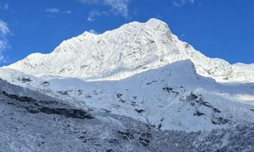
The route combines spectacular mountain scenery with a remarkable variety of landscapes, from the lower Budhi Gandaki valleys and subtropical surroundings to the high alpine terrain near Manaslu and the dramatic crossing of Larkya La Pass at 5,106 metres.

One of the strongest features of the Manaslu Circuit is the gradual transformation of the landscape as the trail gains elevation.
The journey begins around Machha Khola and follows the Budhi Gandaki River through steep valleys and increasingly rugged mountain terrain.

Forested hills, river gorges, waterfalls, cultivated slopes, and traditional settlements dominate the lower sections before the scenery becomes more alpine and exposed farther north.
The cultural character of the route changes just as dramatically. Lower parts of the circuit reflect a mixture of Hindu and Nepali ethnic traditions, while the upper valleys show increasingly strong Tibetan cultural and Buddhist influence.

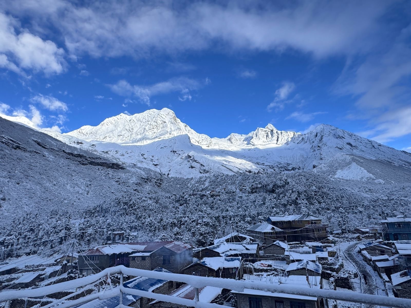
Villages such as Namrung, Shyala, Samagaun and Samdo provide opportunities to experience traditional mountain communities, local architecture, religious practices, and a way of life that has developed in close connection with the high Himalayan environment.
The Budhi Gandaki corridor is another defining feature of the trek.

For much of the lower and middle section, the trail follows this powerful mountain river through narrow gorges and steep-sided valleys.
Bridges, stone paths, forested slopes, and villages appear along the route as the river gradually leads trekkers toward the higher Manaslu region.

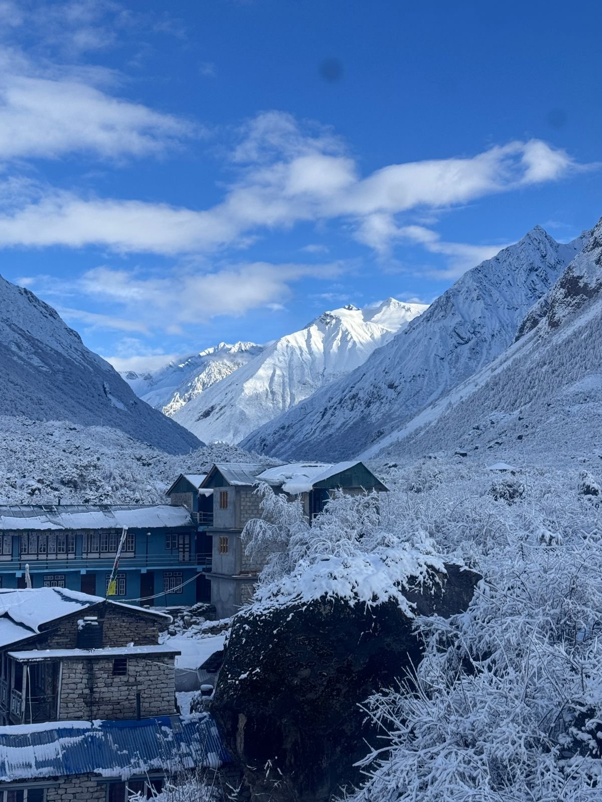
As the trail approaches Namrung and Shyala, the mountain scenery becomes increasingly impressive.
The surrounding landscape opens toward the Manaslu massif and other Himalayan peaks, while the vegetation becomes sparser and the settlements more strongly influenced by Tibetan culture.

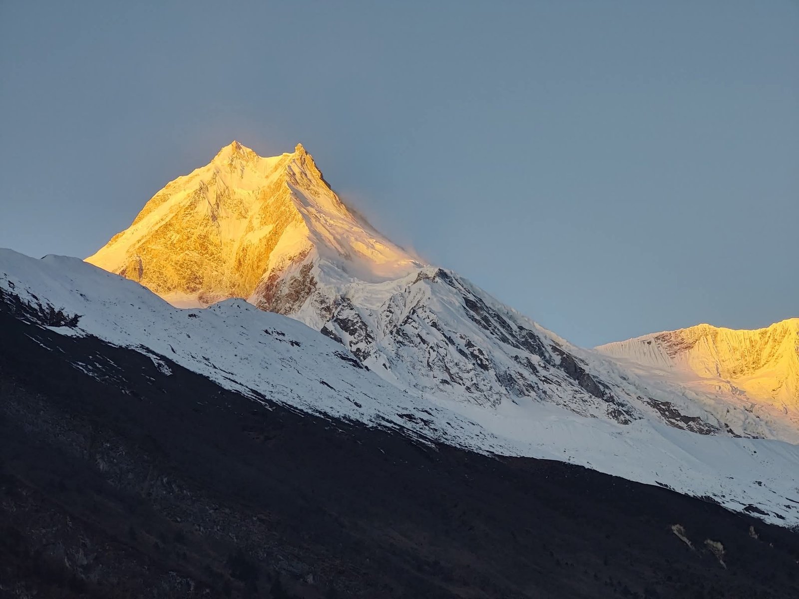
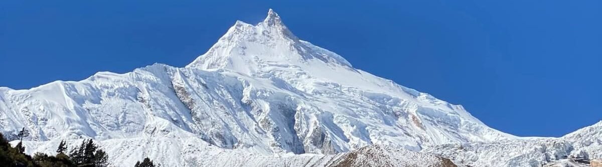
Samagaun is one of the major highlights of the circuit, offering a broad mountain setting beneath Manaslu and serving as an important acclimatization point before entering the highest section of the route.
The Pungyen Gompa excursion adds an important cultural and scenic element to the journey. Located in the Manaslu region, the gompa provides a closer connection with the area’s Buddhist heritage while also offering views into the surrounding high mountain environment.

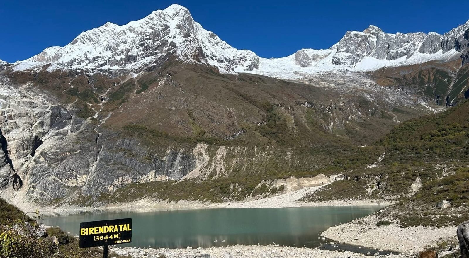
The route through Samagaun and the nearby Manaslu base area allows trekkers to appreciate the scale of the mountain and the dramatic valleys surrounding it.
The trek becomes increasingly demanding after Samdo as the route enters the high alpine zone. Dharmashala serves as the final major overnight point before crossing Larkya La.

From here, an early start leads across increasingly rugged terrain toward the pass. At 5,106 metres, Larkya La is the highest point of the journey and one of its defining achievements.
The crossing provides a dramatic high-altitude experience before the trail begins its descent toward Bhimthang.

Another major attraction of the Manaslu Circuit is its relatively peaceful atmosphere.
Compared with some of Nepal’s better-known trekking regions, the Manaslu route provides a quieter experience through remote valleys and traditional villages.

The restricted nature of the region also helps preserve much of its cultural character and limits the scale of tourism infrastructure along the route.
The Manaslu Conservation Area adds another important dimension to the trek. The changing altitude creates a wide range of natural environments and supports diverse flora and fauna.

The journey therefore combines mountain scenery with an opportunity to observe the ecological variation between lower forested valleys and the high alpine environment.
The itinerary also allows time for acclimatization in Samagaun before the highest sections.

This gradual approach is important because the route eventually reaches more than 5,000 metres, where cold temperatures, thin air, and changing mountain weather become increasingly significant.
Trekkers should therefore have good cardiovascular fitness and be prepared for long days on mountainous terrain.

Overall, the Manaslu Circuit Trek brings together many of the elements that make Himalayan trekking in Nepal so rewarding.
You will encounter enormous mountains, remote valleys, traditional villages, Buddhist culture, diverse ecosystems, dramatic river gorges, and a challenging high mountain pass.

From the Budhi Gandaki valley to the Tibetan-influenced communities of upper Manaslu and finally across Larkya La.
The journey offers a constantly changing Himalayan experience while maintaining the character of a genuine remote mountain adventure.
Manaslu Circuit Trek at a Glance
| Category | Details |
|---|---|
| Duration | 15 Days |
| Difficulty | Moderate |
| Maximum Elevation | Larkya La Pass – 5,106 m |
| Start and End | Machha Khola to Besisahar |
| Destination | Manaslu Region |
| Group Size | 1 to 10 Pax |
| Accommodation | Hotel and Tea House |
| Best Season | September to November and February to May |
Altitude Range and Trail Character
| Altitude Range | Main Section | Trail Character |
|---|---|---|
| Lower Elevations | Machha Khola to Jagat and Deng | River valleys, steep gorges, forests, cultivated slopes and traditional villages |
| Middle Elevations | Deng to Namrung and Shyala | Increasingly rugged terrain, pine and mountain forests, Tibetan-influenced villages and expanding views of Manaslu |
| High Alpine Zone | Samagaun to Samdo and Dharmashala | Sparse vegetation, high valleys, yak grazing areas and dramatic Himalayan surroundings |
| Above 5,000 m | Larkya La Pass | Exposed high-altitude terrain, cold conditions and expansive mountain views |
Difficulty Overview
| Factor | Assessment | What to Expect |
|---|---|---|
| Overall Difficulty | Moderate | Long mountain walking days with substantial altitude gain and a high pass crossing |
| Highest Point | 5,106 m | Larkya La Pass is the most demanding section of the journey |
| Fitness Requirement | Good Cardiovascular Fitness | Trekkers should be comfortable walking on mountain trails for several hours each day |
| Altitude Challenge | Significant at Higher Elevations | Gradual ascent and the acclimatization day in Samagaun support safer adaptation |
| Technical Difficulty | Low | No technical climbing is specified in the standard trekking route |
Major Cultural and Natural Features
| Feature | What Makes It Important |
|---|---|
| Mount Manaslu | The 8,163 m mountain forms the central natural landmark of the circuit and dominates many sections of the route |
| Larkya La Pass | The highest point of the trek and one of its major high-altitude achievements |
| Budhi Gandaki River | The main river corridor guiding the route through steep gorges and remote valleys |
| Pungyen Gompa | A sacred Buddhist site providing an important cultural dimension within the Manaslu landscape |
| Manaslu Conservation Area | Protects diverse Himalayan landscapes, flora and fauna across a wide range of elevations |
| Tibetan-Influenced Villages | Namrung, Shyala, Samagaun and Samdo provide strong examples of upper-Manaslu culture and architecture |
Clothing Layers
| Layer | Recommended Items |
|---|---|
| Base Layer | Moisture-wicking trekking shirts and thermal layers for colder sections |
| Mid Layer | Fleece or warm insulating jacket |
| Outer Layer | Waterproof and windproof jacket and trousers |
| Warm Layer | Down or insulated jacket for Samagaun, Dharmashala and the Larkya La crossing |
| Head and Hands | Warm hat, sun hat, gloves and neck covering |
| Footwear | Well-broken-in trekking boots and warm trekking socks |
Essential Trekking Gear
| Category | Recommended Items |
|---|---|
| Backpack | Comfortable daypack and duffel bag for the main trekking gear |
| Sleeping | Warm sleeping bag suitable for cold nights at higher elevations |
| Hydration | Reusable water bottles or hydration system with water purification options |
| Sun Protection | UV sunglasses, sunscreen, lip balm and sun protection for exposed terrain |
| Navigation | Headlamp, spare batteries and basic navigation equipment |
| Walking Support | Adjustable trekking poles for steep climbs and descents |
| Personal Safety | Personal first aid supplies, medication and basic emergency essentials |
| Electronics | Power bank, charging cables and camera equipment with spare batteries |
Trip Highlights
- Navigate Mount Manaslu, the world's eighth-highest mountain at 8,163 metres, while travelling through valleys and viewpoints that gradually reveal the enormous massif from different directions
- Cross Larkya La Pass at 5,106 metres, the defining high-altitude challenge of the circuit, with dramatic views across the surrounding Himalayan ranges and glaciated mountain terrain
- Follow the Budhi Gandaki River through its remote mountain corridor, crossing suspension bridges and narrow gorges as the landscape changes from lush lower valleys to high alpine country
- Experience the cultural transition from Hindu villages to Tibetan-influenced communities, with the architecture, monasteries, prayer flags, mani walls and traditions becoming increasingly prominent toward upper Manaslu
- Explore Namrung, Shyala, Samagaun and Samdo, traditional high Himalayan settlements where agriculture, livestock and Buddhist traditions remain closely connected to everyday life
- Visit Pungyen Gompa and the sacred landscape around Samagaun, where Buddhist heritage and spectacular mountain scenery combine beneath the Manaslu massif
- Experience extraordinary landscape diversity, travelling from forested river valleys and cultivated hills through alpine meadows, glacial valleys and the exposed terrain surrounding Larkya La
- Explore the Manaslu Conservation Area, home to a wide range of Himalayan ecosystems and wildlife supported by the dramatic change in altitude along the route
- Enjoy a quieter alternative to Nepal's busiest trekking circuits, travelling through remote valleys and traditional settlements where tourism infrastructure remains comparatively limited
- Spend an acclimatization day in Samagaun, giving your body time to adjust while allowing an opportunity to explore the village, surrounding mountains and nearby cultural sites
- Witness the changing Himalayan panorama throughout the journey, with Manaslu, Himalchuli, Ngadi Chuli, Ganesh Himal and other major peaks appearing from different sections of the circuit
- Complete a genuine Himalayan circuit rather than a simple out-and-back trek, ending with the descent toward Bimthang and the transition back into the lower mountain valleys of Nepal
Manaslu Circuit Trek – 15 Days ~ Itinerary
Day 1
Arrival in Kathmandu
- Altitude: 1,350m
- Accommodation: Standard Three-star hotel
Greetings from Nepal Royal Tourism! As you arrive at Kathmandu International Airport, Nepal Royal Tourism will meet you and take you to your hotel. Once you have settled in, you may either rest or venture out to discover the lively streets of Thamel, the tourist hub of Nepal. Before dinner, the first day is a chance to hold a trek briefing, go over your permits, and talk about your forthcoming journey in the Himalayas. Here, you will also get an opportunity to meet your guide and plan your path to the adventure.
Day 2
Drive from Kathmandu to Machha Khola
- Altitude: 870 m
- Duration: Approximately 7-9 hours’ drive
- Drive Distance: 164 Km
- Meal: Breakfast, Lunch and Dinner
- Accommodation: Tea house
Leaving behind Kathmandu, you will be driving through lovely hills, farmland with terraces, rivers, and villages. As the road runs alongside the Trishuli and Budhi Gandaki rivers, you will get to see the unspoiled countryside and changing scenery of Nepal. Entering the Manaslu region, the drive gives an idea of the remote mountain people whose lives make the attraction of this trek.
Day 3
Trek from Machha Khola to Jagat
- Altitude: 1340 m
- Trek Duration: 7-9 Hours
- Trek Distance: 17 km
- Meal: Breakfast, Lunch, and Dinner
- Accommodation: Tea house
Initially, the trainee will be walking alongside the Budhi Gandaki River for the first few kilometers, through forests, small settlements, and crossing hanging bridges. After a while, you will find yourself among quaint Gurung communities having picturesque valleys of the fresh river. The path is a mix of climbs and descents, finally arriving at Jagat, a stone-paved village marking the formal entrance to the Manaslu Conservation Area.
Day 4
Trek from Jagat to Deng
- Altitude: 1940 m
- Trek Duration: 7-9 hours
- Trek Distance: 21 km
- Meal: Breakfast, Lunch and Dinner
- Accommodation: Tea house
At first, the trail goes through forests of different types, cultivated terraces, and villages that are a mix of Hindu and Tibetan influences. Along with the abundant flora and fauna, there are also magnificent landscapes with waterfalls, cliffs, and vast river valleys. As you gain altitude, the scenery changes in accordance with the various ethnic and geographical features of the Manaslu region.
Day 5
Trek from Deng to Namrung
- Altitude: 2640 m
- Trek Duration: 7-8 hours
- Trek Distance: 19 km
- Meal: Breakfast, Lunch and Dinner
- Accommodation: Tea house
As you pass through natural pine and rhododendron groves, you will cross several hanging bridges over the Budhi Gandaki River. While on the way, you will see old Tibetan-style villages and mani walls with Buddhist prayers written on them. Namrung offers trekkers not only spectacular mountain views but also a strong presence of Himalayan culture.
Day 6
Trek Namrung to Shyala
- Maximum Altitude: 3500 m
- Trek Duration: 6-7 hours
- Trek Distance: 16 km
- Meal: Breakfast, Lunch and Dinner
- Accommodation: Tea house
The day will probably be among the best days of the trek as you get to see some beautiful villages on the trail. You will encounter traditional monasteries and be able to take in the majestic views of Himalayan peaks. Gradually the mountain environment changes to that of an alpine region with the promise of impressive views of snow-capped peaks, glaciers, and untouched nature. Shyala is a location many consider to be the most beautiful hiking viewpoint in the entire Manaslu Circuit.
Day 7
Trek Shyala to Samagaun via Pungen Gompa
- Maximum Altitude: 3500 m
- Trek Duration: 6-7 hours
- Trek Distance: 11 km
- Meal: Breakfast, Lunch and Dinner
- Accommodation: Tea house
This day’s trekking route brings you to the sacred Pungen Gompa, a hidden monastery that lies below the huge face of Mount Manaslu. The quiet atmosphere and the amazing views of the glacier make it an unforgettable attraction of the trek. After visiting the monastery, walk on to Samagaun, which is one of the biggest and culturally most important villages of the area. Besides offering stunning views of the mountains, the village is also deeply rooted in Tibetan Buddhist tradition.
Day 8
Acclimatization Day in Samagaun
- Maximum Altitude: 3500 m
- Trek Duration: 6-7 hours
- Meal: Breakfast, Lunch and Dinner
- Accommodation: Tea House
Adjusting to the altitude is very important if you want to have a safe and fun trek. Today you will have a chance to see the neighborhood, talk to the villagers, and learn about the unique Tibetan culture of Samagaun. Besides, some of the most popular excursion destinations include places where you can get views of glaciers, high-altitude lakes, and mountain panoramas. This day at the same time prepares your body for the next days by getting it used to the changes in altitude and shows you the amazement of the Himalayas.
Day 9
Trek from Samagaun to Samdo
- Maximum Altitude: 3860 m
- Trek Duration: 3-4 hours
- Trek Distance: 7.2 km
- Meal: Breakfast, Lunch and Dinner
- Accommodation: Tea house
You ascend little by little with the trail going through open alpine scenery and pastures of yak. When you get to Samdo, you will feel a big change in the environment with very rough mountains focusing your eyes. Samdo is a good old trading village that is very close to the Tibetan border, and you will learn a lot about the local people’s traditions there. The views of the nearby peaks are really phenomenal.
Day 10
Trek Samdo to Dharmashala
- Maximum Altitude: 4470 m
- Trek Duration: 4-5 hours
- Trek Distance: 6 km
- Meal: Breakfast, Lunch and Dinner
- Accommodation: Tea house
Your journey today cuts through scarcely inhabited high-altitude areas before reaching Dharmashala, which is also called Larkya Phedi. You will walk along ancient trade routes and see grand vistas of glaciers, mountain ridges, and wild landscapes. Dharmashala is not only a place to take your last breath before the Larkya La Pass but also a spot to get yourself ready for that very challenging and rewarding day of the trek.
Day 11
Dharamsala to Bhimthang via Larkya la pass(5106m)
- Maximum Altitude: 5106 m
- Trek Duration: 7-8 hours
- Trek Distance: 16 km
- Meal: Breakfast, Lunch and Dinner
- Accommodation: Tea house
The day dedicated to the Manaslu Circuit Trek that will give you the most thrill and satisfaction is this one. Keep climbing slowly to reach the amazing Larkya La Pass, which is one of the highest and most spectacular mountain passes used by trekkers in Nepal. Through climbing to the top, you will get eye-opening views of the snow-covered Himalayan monsters, glaciers, and huge mountain ranges. Thoroughly enjoy your moment of triumph before the descent to the beautiful alpine setting of Bhimthang with its natural beauty and surrounding majestic peaks.
Day 12
Trek from Bimthang to Goa
- Maximum Altitude: 2560m
- Trek Duration: 5-6 hours
- Trek Distance: 14 km
- Meal: Breakfast, Lunch and Dinner
- Accommodation: Tea house
The path goes downhill through magnificent rhododendron woods, alpine fields, and beautiful villages. Beautiful mountain views and calm, natural surroundings will be your companions as you gradually say goodbye to the high alpine area. It is a pleasant change from the days of harsh landscapes and offers a chance to experience local culture and hospitality.
Day 13
Trek from Goa to Dharapani then drive to Besisahar
- Maximum Altitude: 700 m
- Trek Duration: 3 hours
- Trek Distance: 9 km
- Meal: Breakfast, Lunch and Dinner
- Accommodation: Tea house
For the last day of trekking, the path is along lovely forest trails and traditional villages before you get to Dharapani. This is the point where the Manaslu Circuit links to the popular Annapurna region. A drive to Besisahar is scheduled for the time after the trek allowing you to unwind and celebrate the greatest achievement of your Himalayan trip.
Day 14
Drive from Besisahar to Kathmandu
- Maximum Altitude: 1350 m
- Drive Duration: 7-8 hours
- Drive Distance: 175 km
- Meal: Breakfast, Lunch
- Accommodation: Three-star standard hotel
Having eaten breakfast, you will soon be on your way to Kathmandu by car and you will be passing through several beautiful country sceneries, rivers, hills, and rural settlements. When you reach the city, you will be given free time to go sightseeing, shopping, or just relax. You may also opt for a farewell dinner in the evening as a way of capping the incredible experiences and memories that have been created during the journey.
Day 15
Time to Say Goodbye
- Meal: Breakfast
After enjoying your breakfast, based on your flight schedule, you may even have some free time to explore a bit more of Kathmandu. A member of the team will be with you when you go to the airport. They will be there a few hours before your flight to help you with your departure arrangements so you can take great memories of your Manaslu trek. We, as your reliable travel partner, Nepal Royal Tourism Holiday Pvt. Ltd. (www.nepalroyaltreks.com), feel very lucky to have had the chance to share this exceptional experience with you. Travel safely and see you next time!
Manaslu Circuit Trek – 15 Days Fixed Departures Dates
Trip Cost Includes/Excludes
Cost Includes
- Airport Pick-up and Drop-off by private car
- Two nights standard Three star hotel accommodation in Kathmandu (includes bed and breakfast).
- 14 *Breakfast, 13*Lunch and 12* Dinner
- Per day a Cup of Tea/ Coffee
- Mountain Tea house Lodge
- Experienced trekking Guide and porter according to your group size.
- Public bus transportation from Kathmandu to Machha Khola
- Dharapani to Besisahar by sharing jeep and Besisahar to kathmandu by Tourist bus
- ACAP and MCAP permit
- Restricted area permit
- Lodging and food, salary, insurance, transportation and equipment for guide and porters.
- Trekking Duffel bag & sleeping bag but you have to refund after complete your trip.
- Certificate of Appreciation
Cost Excludes
- Your visa fees and International airfare
- Any other expenses (including hot and cold drinks, mineral water, alcoholic drinks, cigarettes, toiletries, and any other personal expenses).
- Travel insurance.
- Tips for guide and porter (optional but expected).
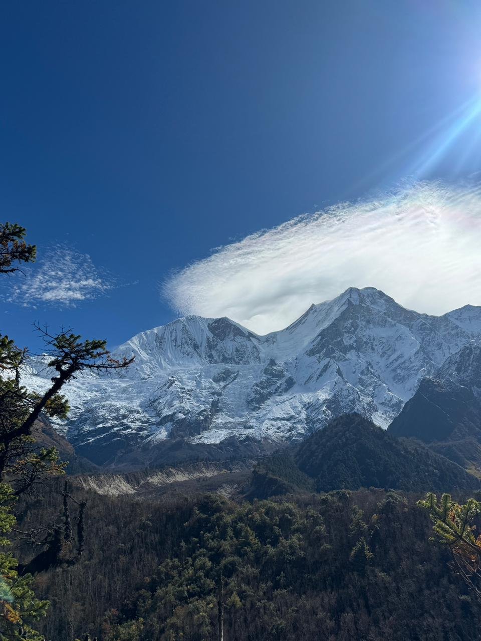
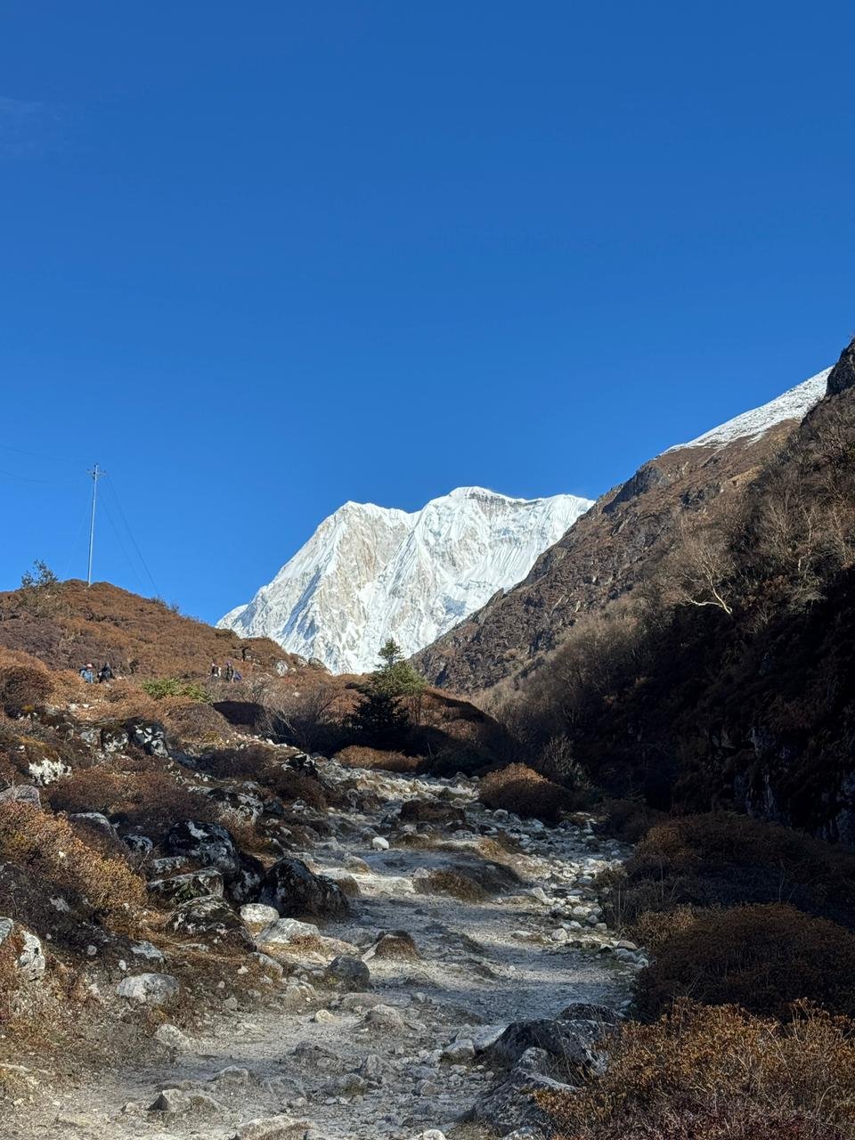
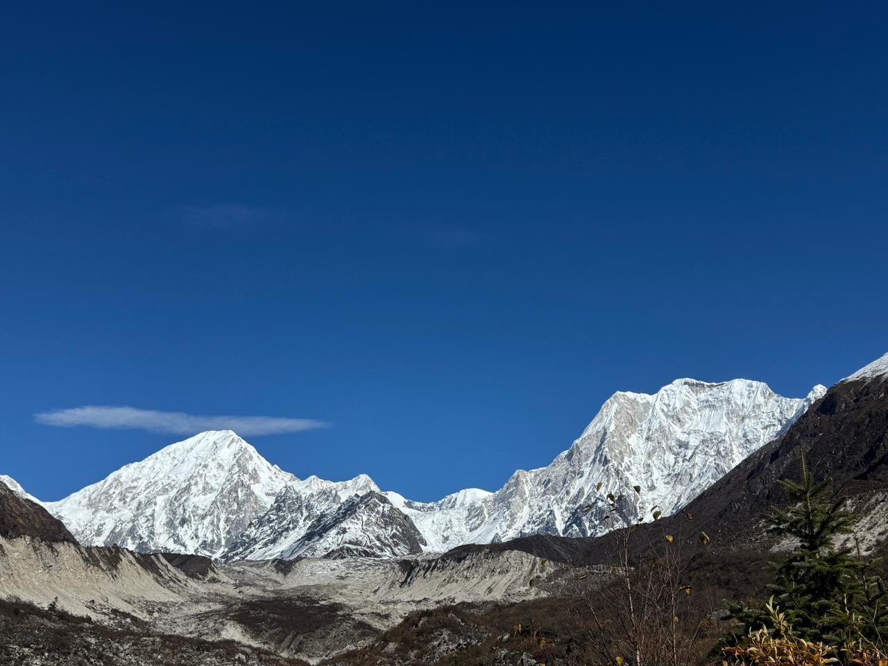
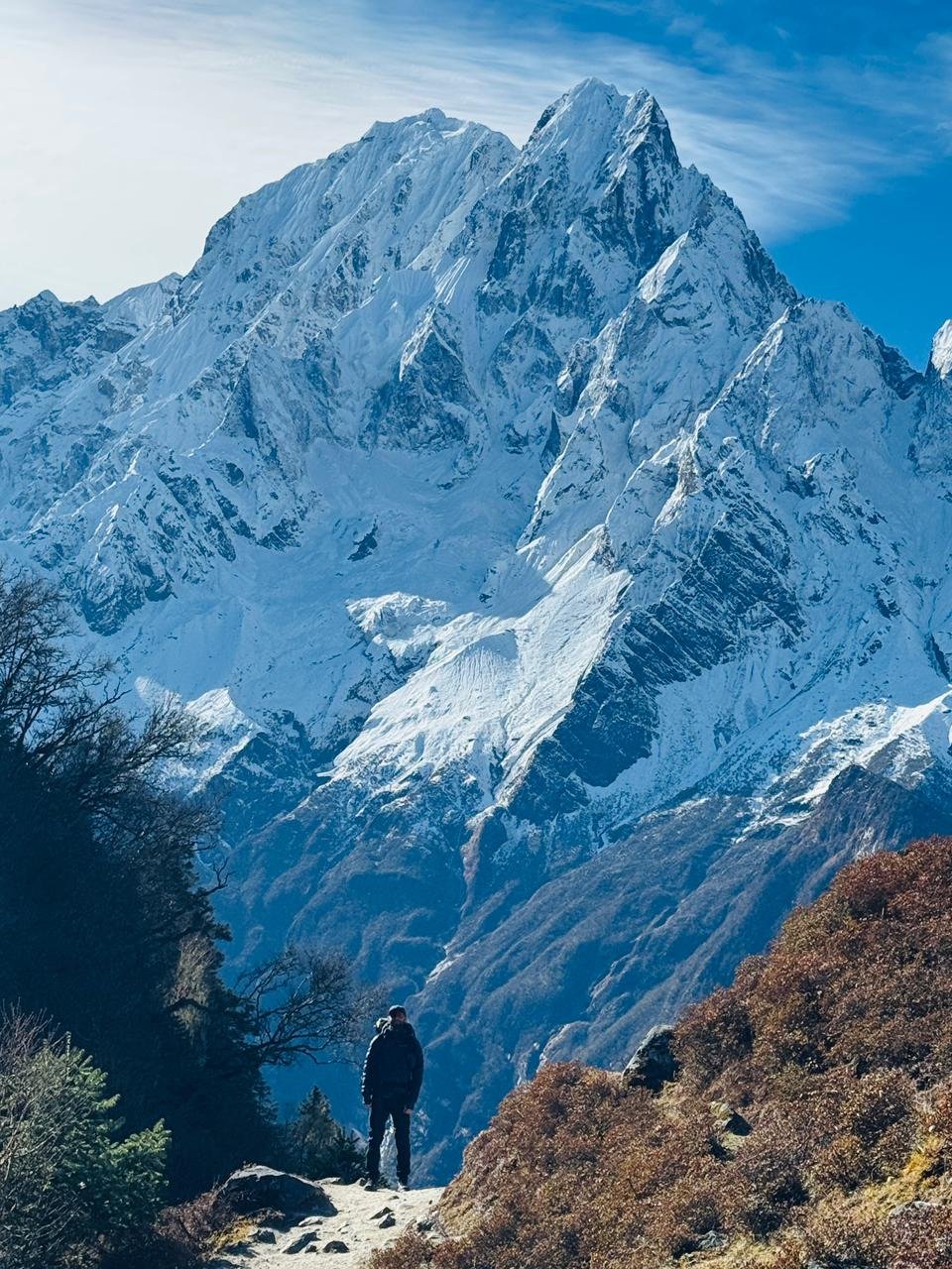
Trip Photo/Video Gallery
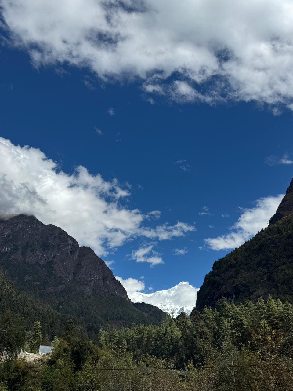
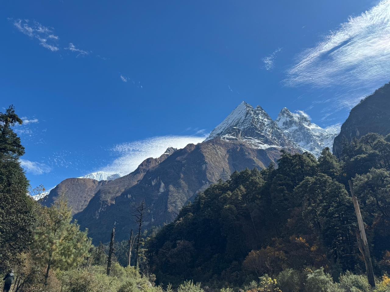
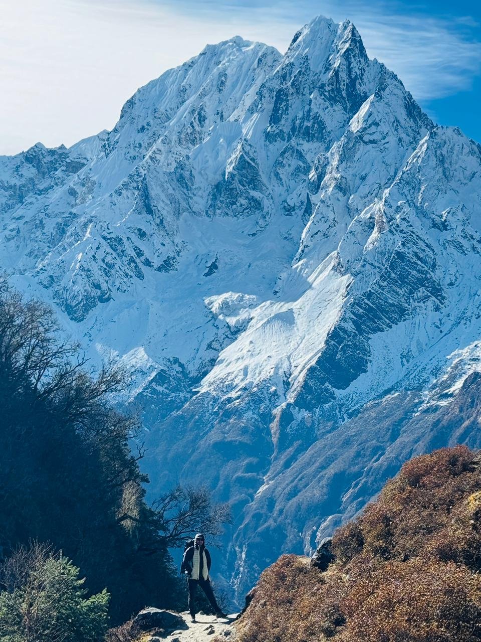
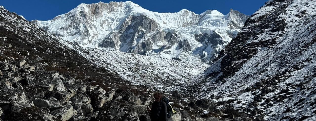
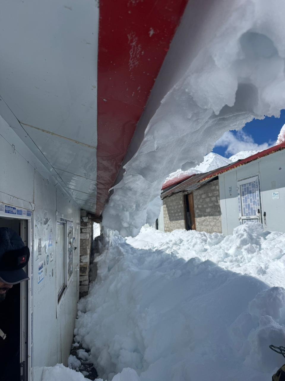
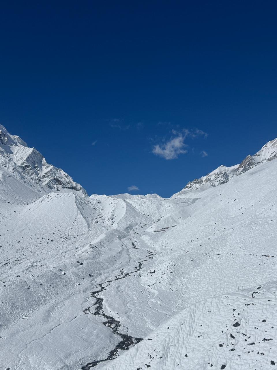
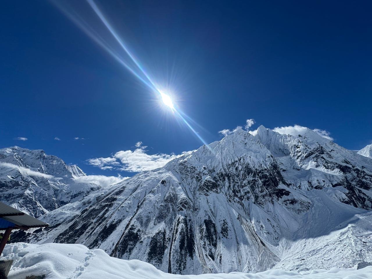
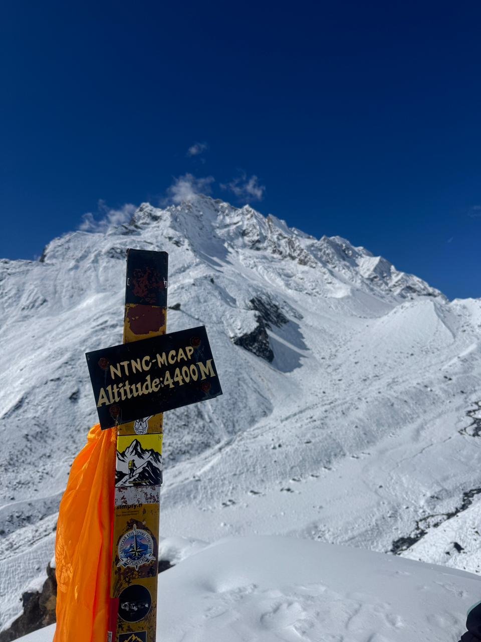
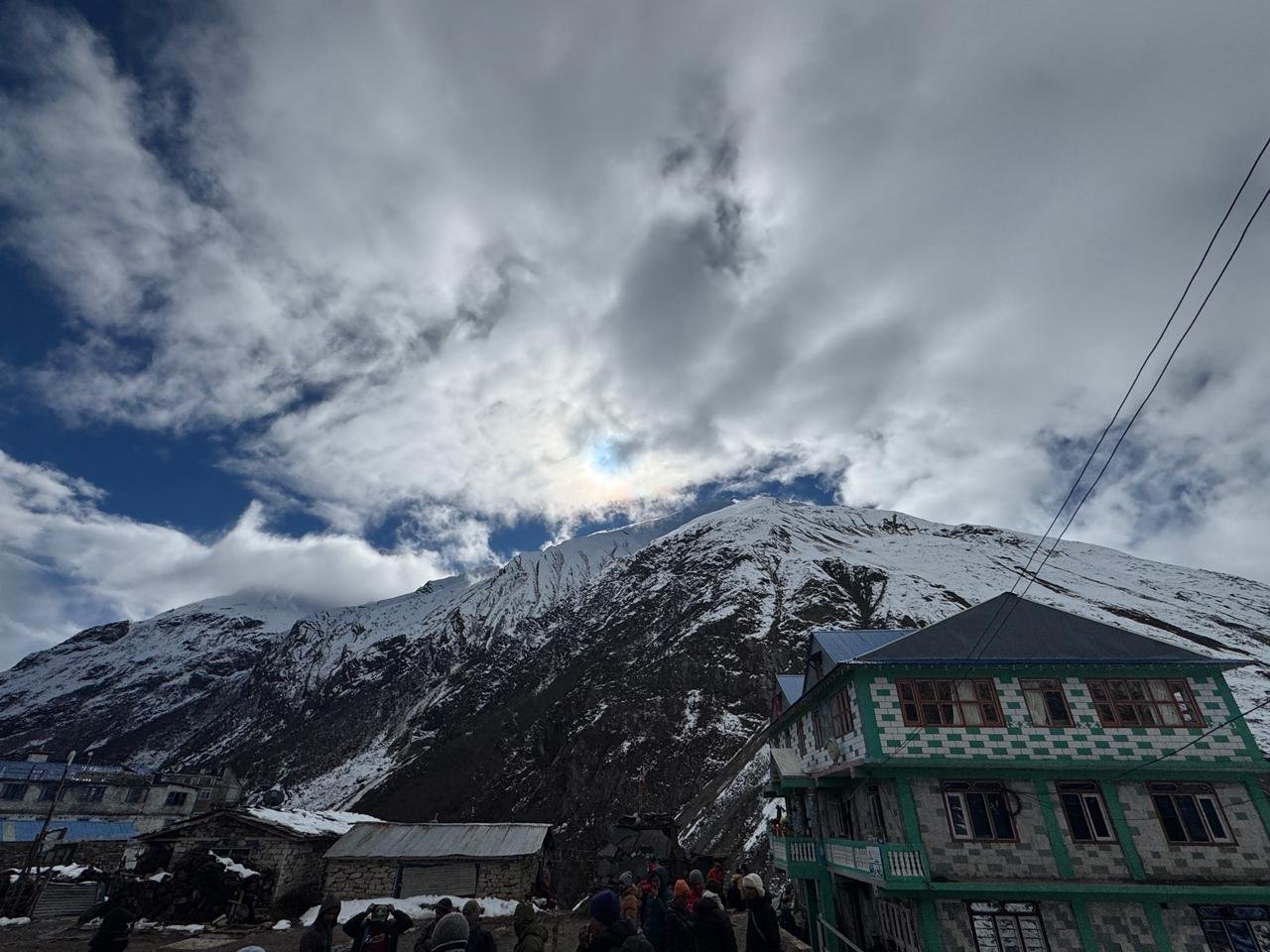
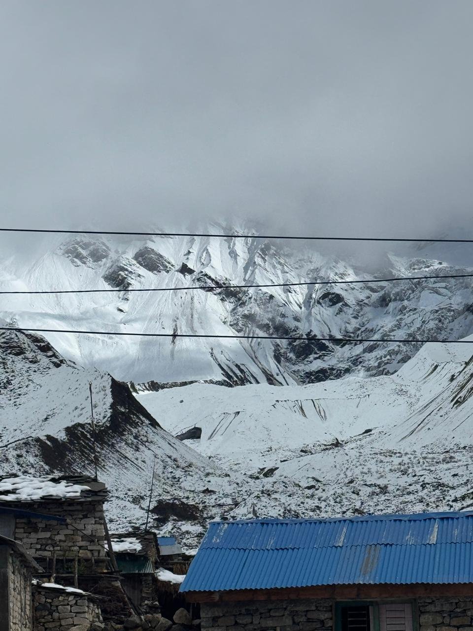
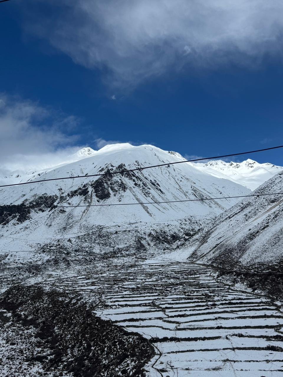
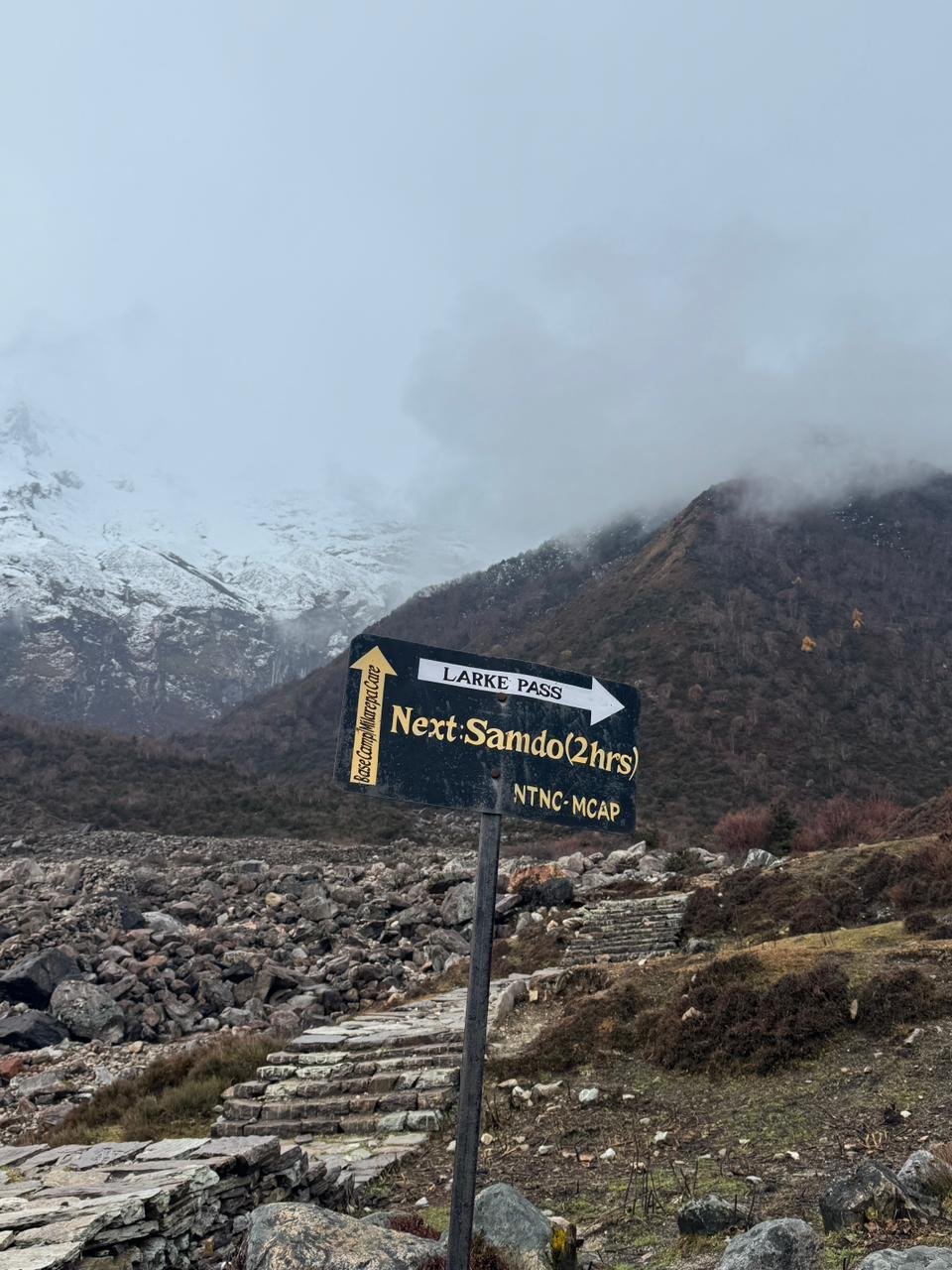
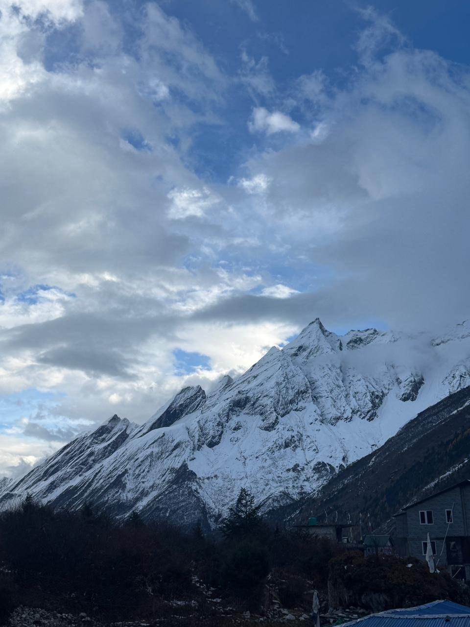
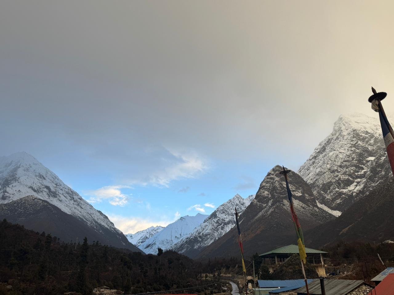
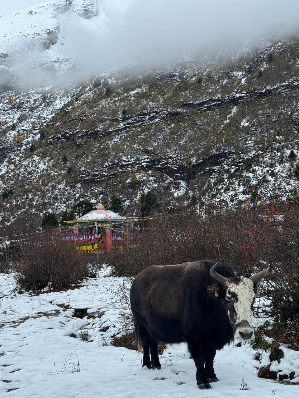
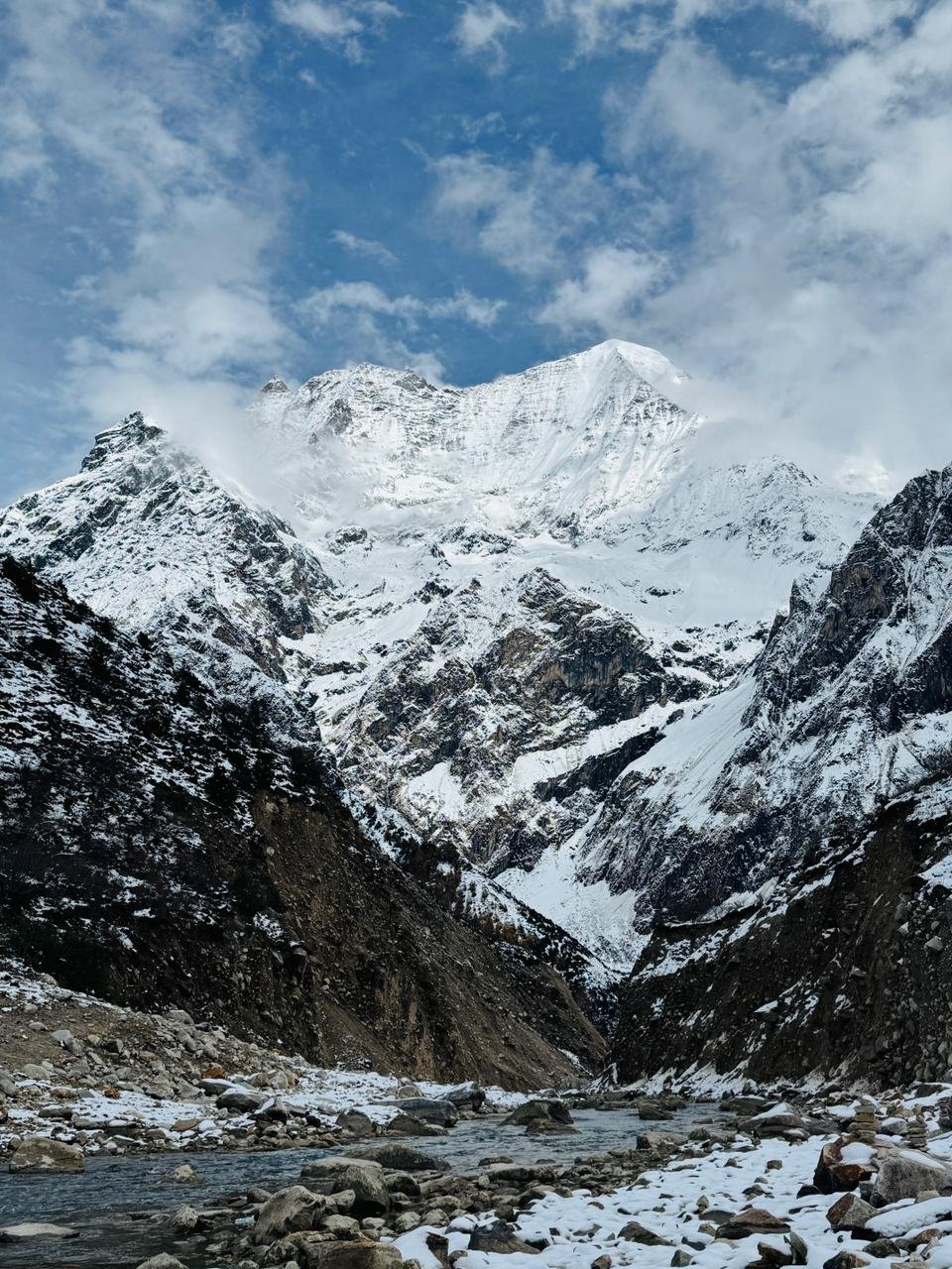
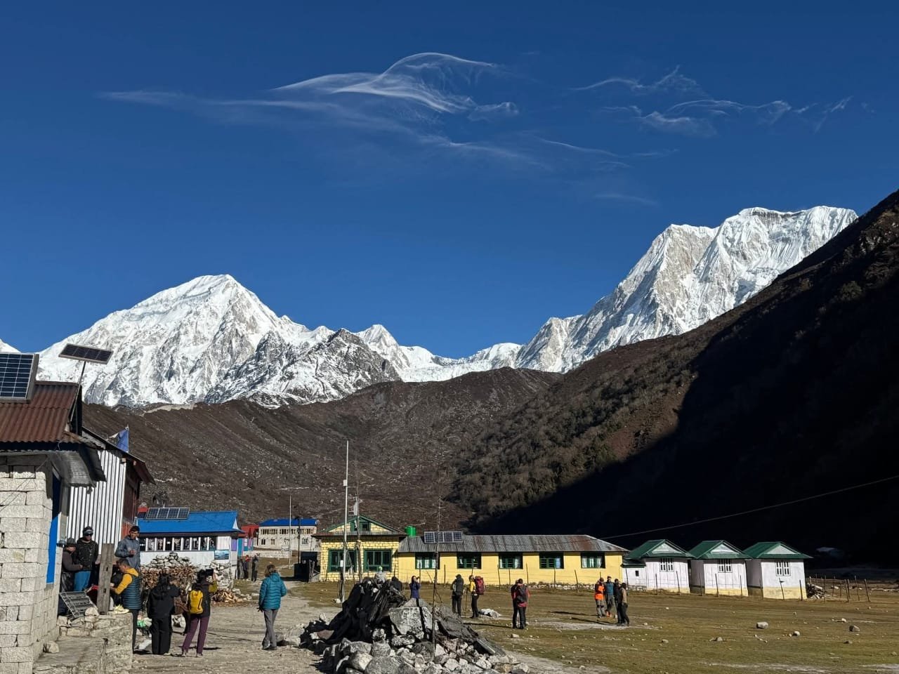
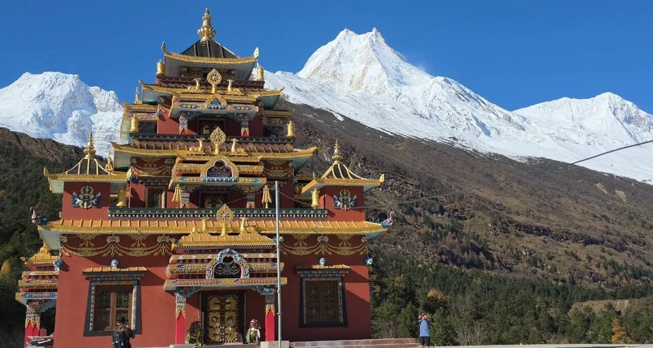
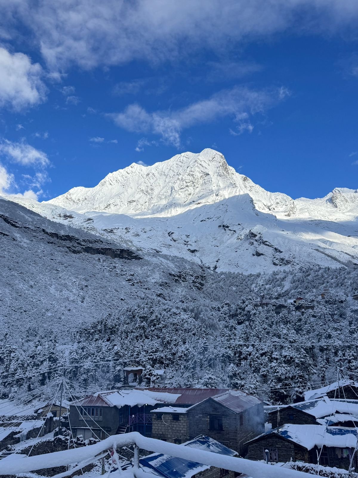
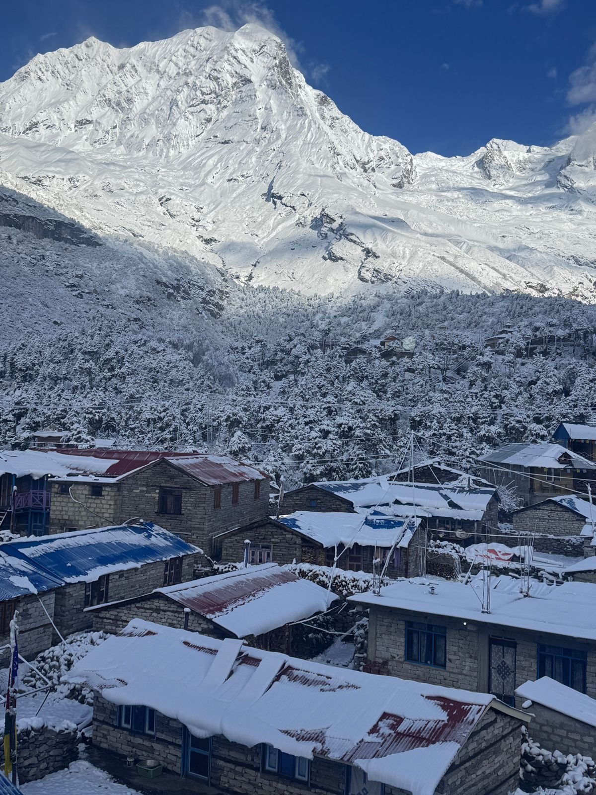
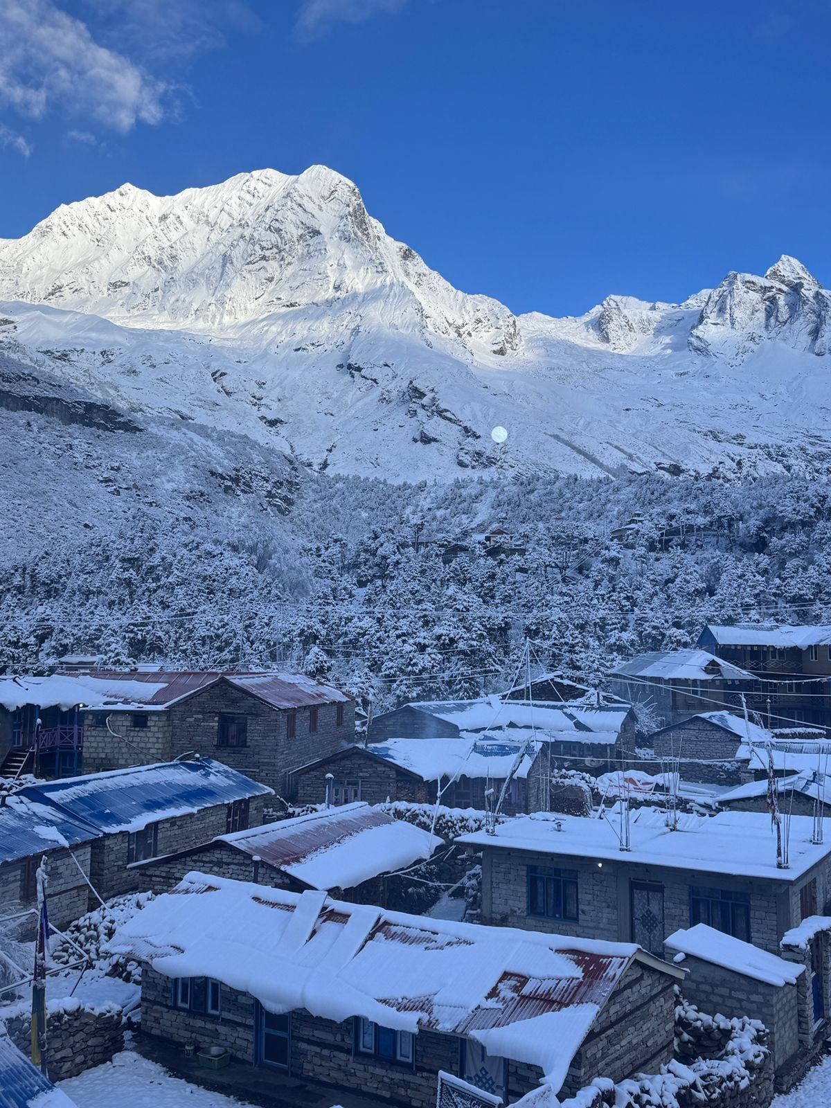
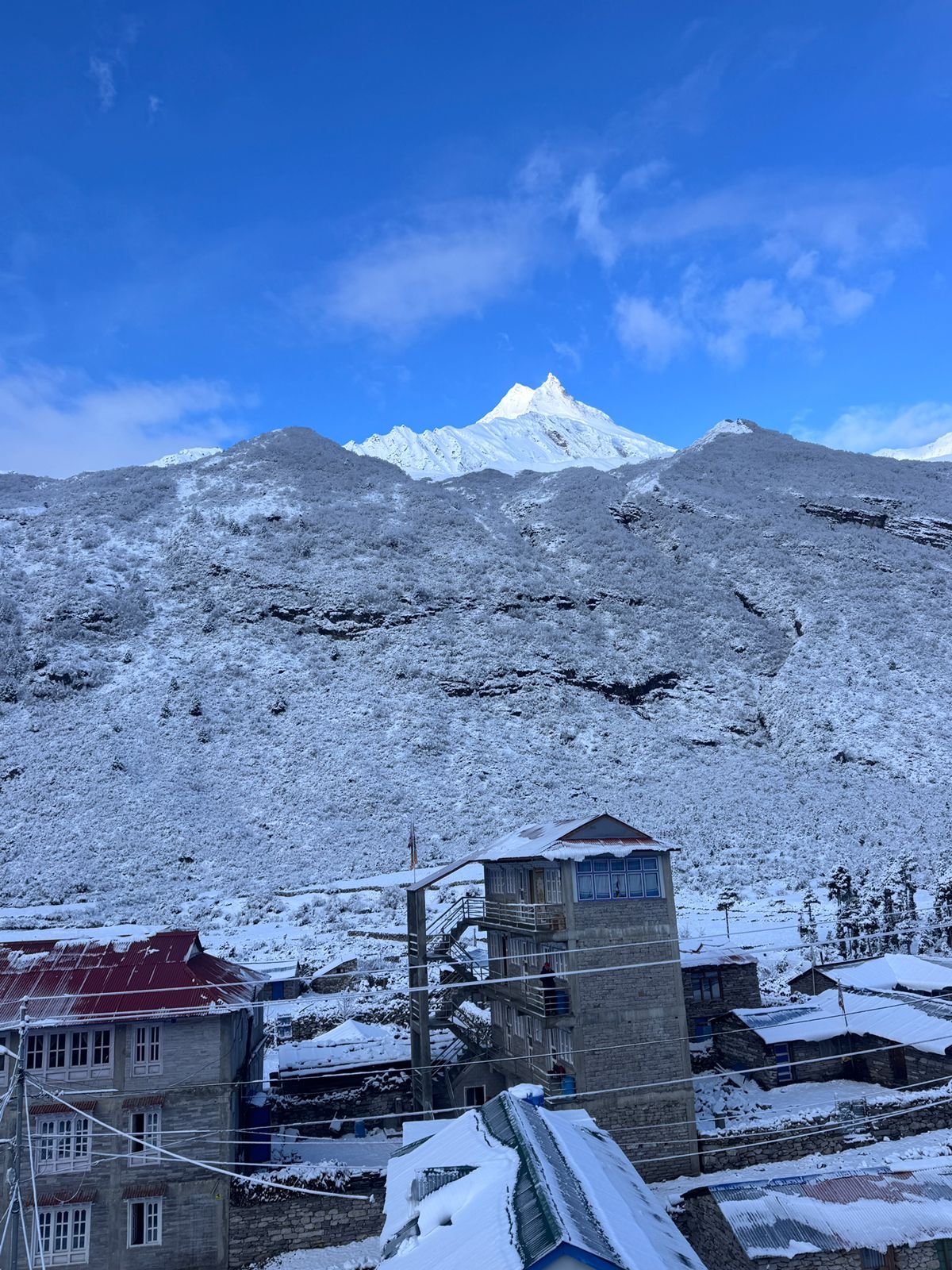
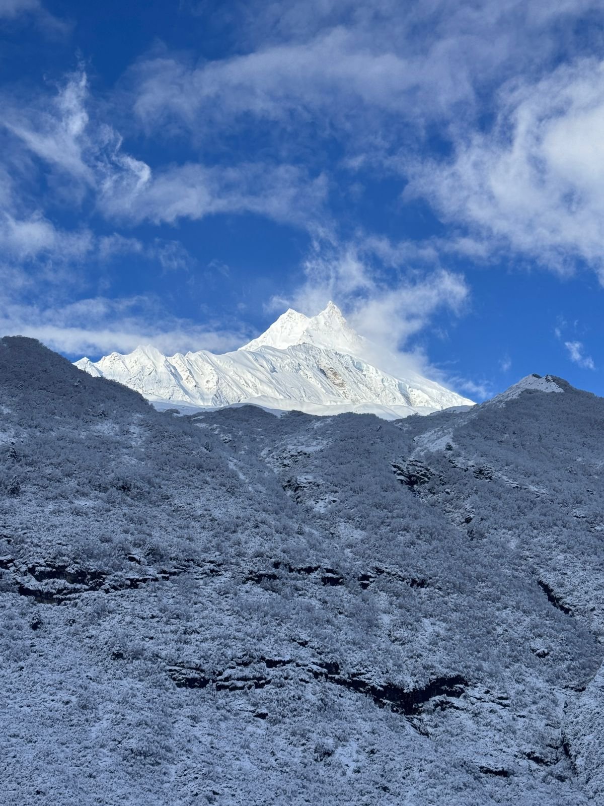
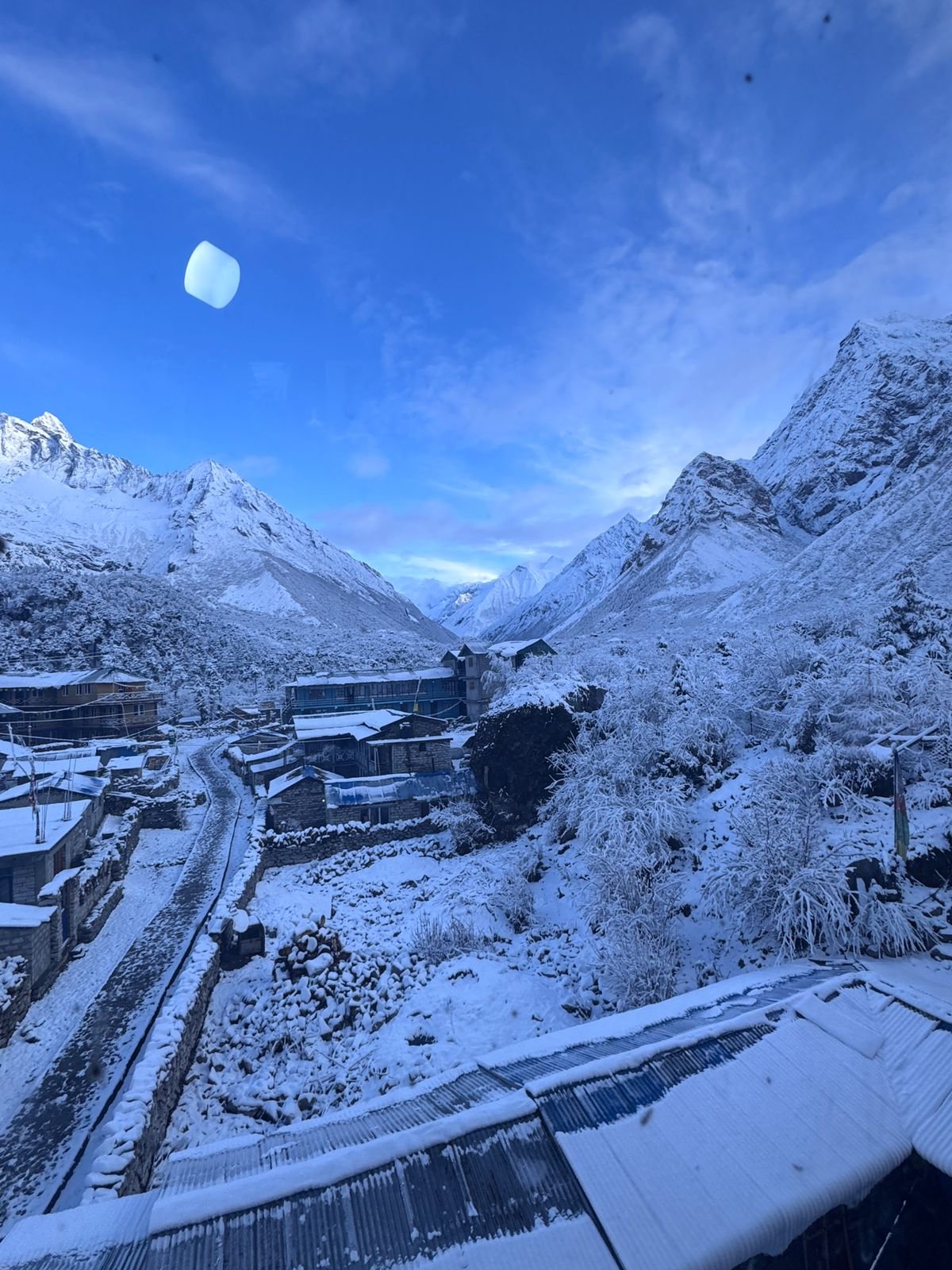
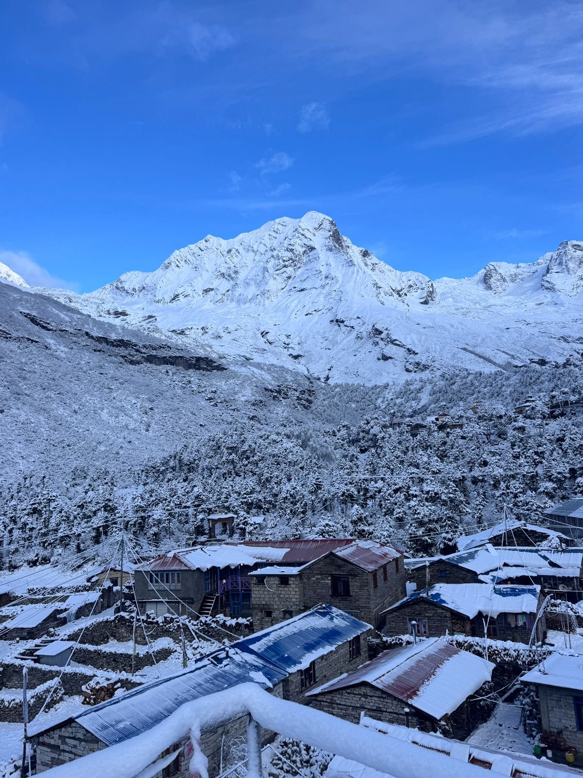
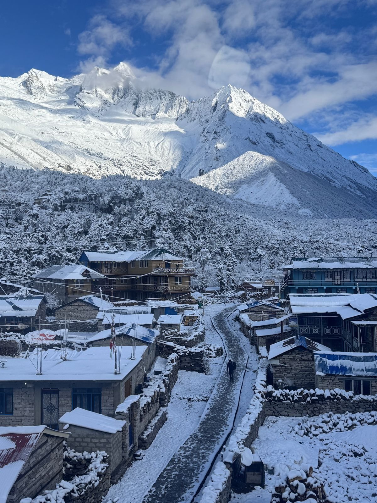
Route Map for Manaslu Circuit Trek – 15 Days
Frequently Asked Questions
The Manaslu Circuit Trek is found in the Gorkha district, Nepal, surrounding the Mount Manaslu (8,163 m), the world’s eighth-highest mountain. The route is part of the Manaslu Conservation Area and provides a Himalayan trekking adventure in an untouched environment.
The 17 days Manaslu Circuit Trek covers the days of arrival and departure to and from Kathmandu. The actual trek time is approximately 12–13 days, which enables you to have good acclimatization and a leisurely pace.
The summit of the trek is Larkya La Pass (5,106 meters), one of the highest stunning mountain passes in Nepal and rewarding mountain passes.
The best seasons are:
Spring (March-May): Bright skies, rhododendron forests, and good weather
Autumn (September-November): The best visibility, dry trails, and mountain views
Experienced trekkers can go in winter while monsoon season is less recommended.
The Manaslu Circuit Trek is graded moderate to hard. It demands that the walker be in good shape, able to walk 5–7 hours per day, and to cope with high altitude.
It is a plus to have some experience trekking at high altitude but it is not required. You should, however, have a regular hiking routine and be prepared adequately in terms of fitness.
Manaslu area is a restricted one. To be able to tread there, you need the following permits:
Manaslu Restricted Area Permit (RAP)
Manaslu Conservation Area Permit (MCAP)
Annapurna Conservation Area Permit (ACAP)
You have to book permits via a licensed trekking agency.
Yes, It is mandatory to hire a licensed trekking guide. There is no permission for solo trekking in the Manaslu restricted area.
Most probably accommodations are teahouse/lodge-based, which provide simple but neat rooms. In the higher places, the facilities get a lot simpler.
Teahouses offer different types of meals such as:
Dal Bhat (Nepali set meal), pasta, noodles, rice, soups, Veg and very easy non-veg.
It is always better to order vegetarian dishes at the high altitude areas.
Simply said, it depends on the time of year, besides the fact that altitude also matters:
- Lower regions: 10°C to 20°C
- High camps & Larkya La Pass: -10°C to -15°C in peak seasons,
You should come fully equipped with decent winter clothing.
You need only two trekkers minimum to be able to get the Manaslu Restricted Area Permit. Therefore, Solo trekking is not allowed.
Altitude sickness can indeed be a problem when a person goes above 3,000 meters. Therefore, the 17-day itinerary has been planned with acclimatization days included so that the risk is kept to a minimum. In any case, the most important thing is to go up slowly, drink plenty of water, and get enough rest.
Certainly, travel insurance is a must and it should extend coverage to:
- High-altitude trekking (up to 5,200 m)
- Emergency helicopter evacuation
- Medical expenses
The most important are:
Down jacket and sleeping bag
Trekking boots and poles
Thermal layers and waterproof jacket
Sunglasses, sunscreen, and first aid kit
Nepal Royal Tourism can give you a detailed list of things if you want more detaisl.
This is an entirely safe trek if it is done through a professional trekking agency with licensed guides, proper planning, and safety protocols.
Manaslu, on the other hand, facilitates:
- Less crowded tours
- Exposure to authentic Tibetan-influenced culture
- Scenic unspoiled beauty
- Isolated and adventurous trekking experience
Yes, the 17 days Manaslu Circuit Trek can be personalized easily with respect to one’s physical shape, financial means, or even adding side trips like Tsum Valley.
Charging and Wi-Fi are available at some tea houses for an additional cost; however, the signal is very weak at great altitudes.
We are local trekking agency provides you with:
- Legal permit handling
- Highly skilled local guides
- Greater cost efficiency
You may also like
Menu

Martini B
at 2:48 pm
Amazing Manaslu Trek with Friends!
We had an incredible time trekking the Manaslu Circuit with friends. The route is, less crowded, and full of stunning mountain views and beautiful villages. Crossing Larkya La Pass was tough but unforgettable!
Everything was well organized, and our guide was very supportive and professional throughout the trek.
Highly recommended for anyone looking for a real Himalayan adventure!
Emma Wilson
at 10:32 pm
Look like a Family trip
The Manaslu trip was a big highlight of our travels. We will forever remember crossing Larkya La Pass. The group looked after us like a family and was very professional. Thanks for giving us such a great experience!
Lisa Anderson
at 10:15 pm
Perfect Manaslu Trek Itinerary with Excellent Service
Really well done and nice people. Our guide and porter were always ready to help us and very cheerful. The food and lodging were beyond our expectations for such a remote area.
Benjamin Clark
at 6:31 am
one of the top treks in Nepal
The 16 Days Manaslu Circuit Trek was a great trip and one of the top treks in Nepal. The itinerary was designed with enough acclimatization days. The cost was very reasonable for the service offered. The guide was professional and took care of our safety and comfort all the time. If you want the best Manaslu trek package, this is the team to go with!