-
 Duration
12 Days
Duration
12 Days
-
 Difficulty
Moderate
Difficulty
Moderate
-
 Max Elevation
3660m
Max Elevation
3660m
-
 Group Size
1 to 10 People Person
Group Size
1 to 10 People Person
-
 Accommodation
Teahouse/Lodge
Accommodation
Teahouse/Lodge
-
 Start/End
Kathmandu Airport/Kathmandu
Start/End
Kathmandu Airport/Kathmandu
-
 Destination
Annapurna Region
Destination
Annapurna Region
-
 Best Season
March-May and Sep-Nov
Best Season
March-May and Sep-Nov
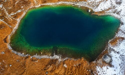
Khopra Danda Trek is one of those Annapurna routes that still feels special because it has not been stripped into something too crowded or overdone.
It gives you mountain views, village life, forest walking, and ridge scenery in a way that feels calm and real. For trekkers who want something quieter than the classic Annapurna Base Camp or Poon Hill trails, this route is a very strong choice.
What makes the trek stand out is the way it keeps changing.
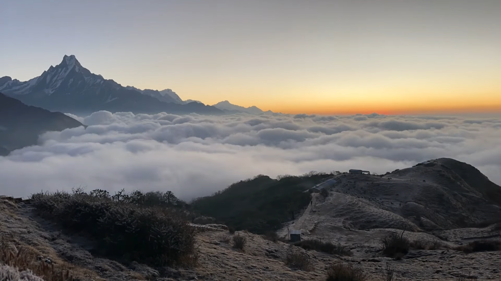
One day you are walking through stone villages and terraced farmland, the next you are in dense rhododendron forest, and then suddenly you are up on a high ridge with huge mountains opening up in every direction.
That variety is a big part of the appeal. The trek never feels stuck in one mood for too long, and that keeps the journey fresh from beginning to end.
The route usually starts with a drive from Kathmandu to Pokhara, which gives the trek a soft landing before the walking begins.
Pokhara is one of the best places in Nepal to begin a mountain trip because it is peaceful, scenic, and close to the Annapurna range.
Sitting by the lake with the mountains in the distance gives you a good sense of what is coming next. After that, the trail leaves the road behind and moves into the quieter side of the Annapurna region.
The lower part of the road passes through villages like Ghandruk, which is one of the most attractive settlements in the region.
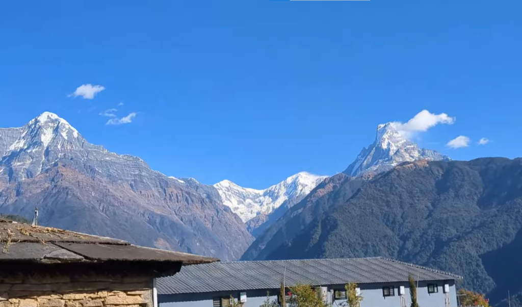
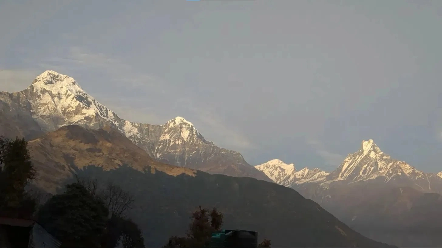
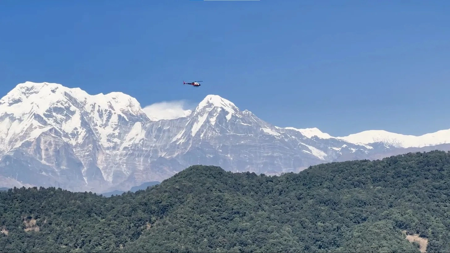
Ghandruk is known for its Gurung culture, traditional houses, and wide views of Annapurna South and Hiunchuli. It is not just a pretty stop.
It also gives trekkers a chance to see real mountain life up close. The village feels lived in, not staged, and that makes the experience more meaningful.
From Ghandruk, the trail climbs toward Tadapani through forested hills and mountain paths that feel peaceful and slightly hidden.
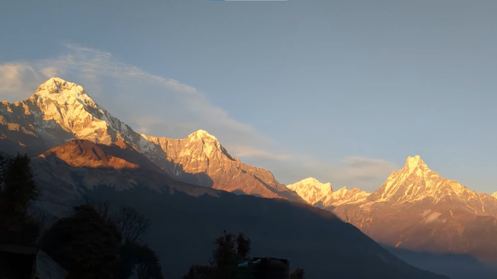
This section is especially good in spring, when the rhododendron trees bloom and the whole hillside turns red, pink, and white.
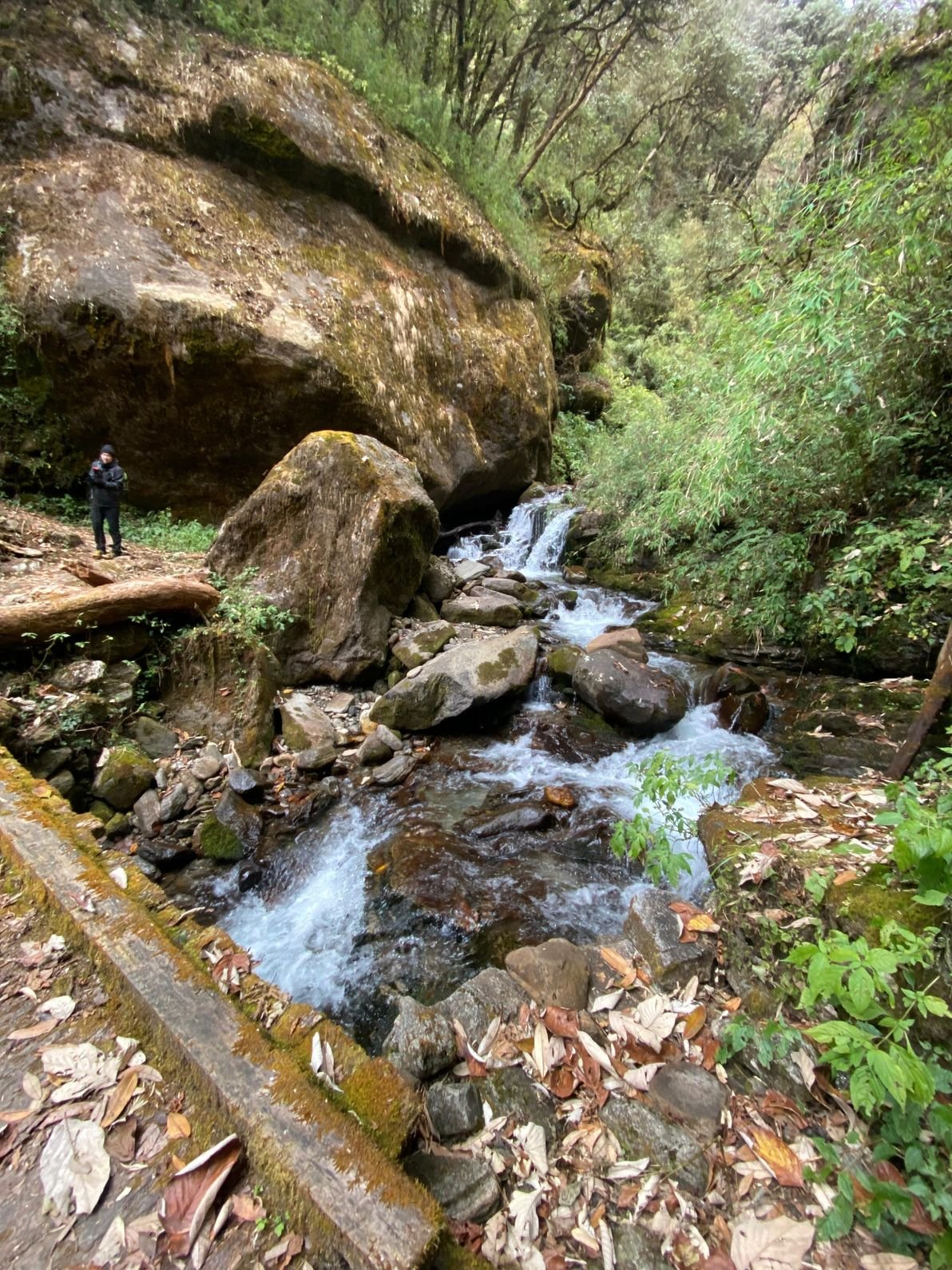
Even outside flowering season, the forest walk has its own charm. The path is quieter, the air gets cooler, and the sound of the forest starts to take over from the noise of the villages below.
As the trek continues higher, the landscape begins to open. Places like Dobato and Muldai Viewpoint bring a different kind of beauty, one that feels more wide and exposed.
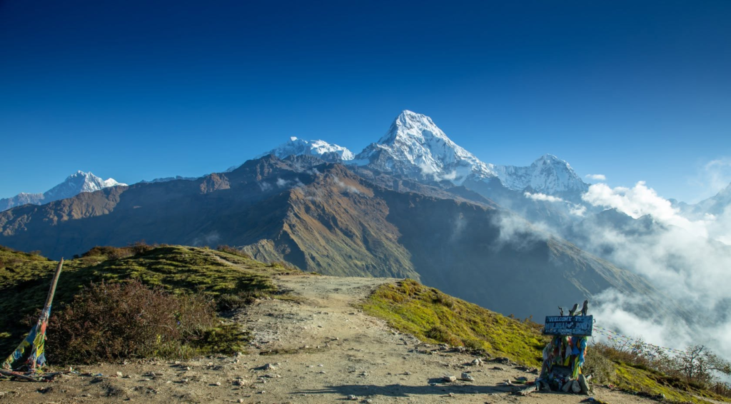
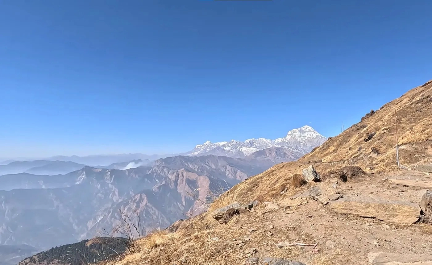
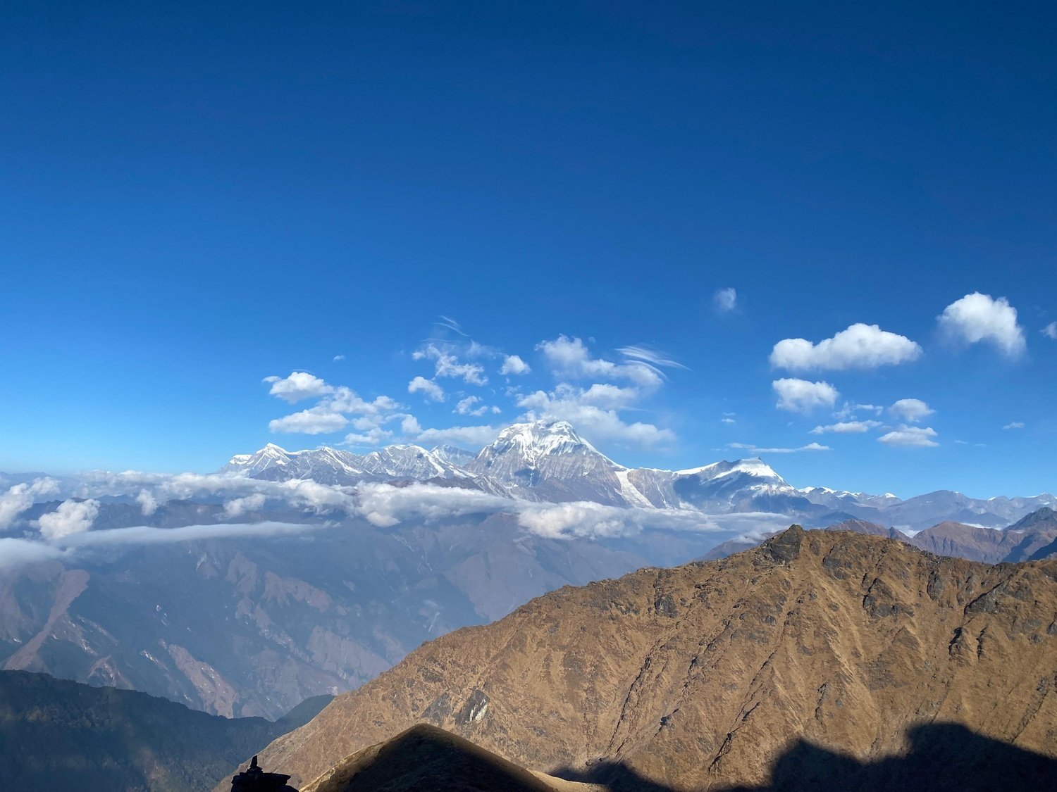
This is where the route starts to reveal its serious mountain character. The Dhaulagiri range becomes visible, and that changes everything.
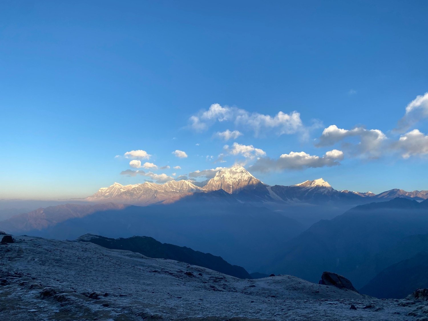
On many Annapurna treks, Dhaulagiri stays out of sight, but here it becomes a major part of the view. That alone makes the route feel more complete and more rewarding.
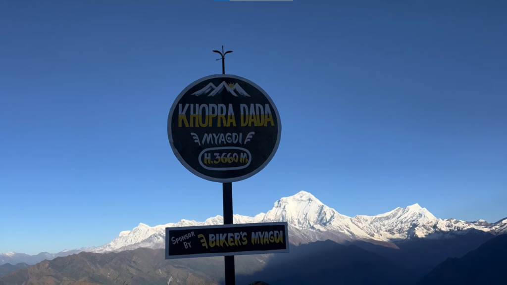
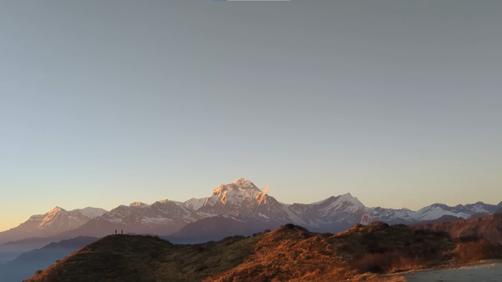
Muldai Viewpoint is one of the hidden strengths of this trek. It is not as famous as Poon Hill, but it sits higher and gives a broader, less crowded mountain panorama.
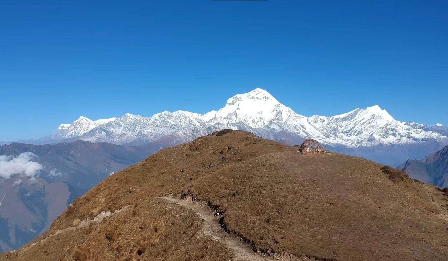
From there, trekkers can see both the Annapurna and Dhaulagiri ranges in one sweep, along with peaks like Annapurna South, Hiunchuli, Nilgiri, and Tukuche Peak.
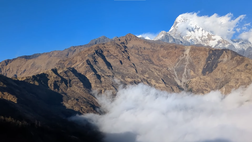
It is the kind of viewpoint that surprises people because it does not get the same attention as the better-known stops, yet it delivers a view that is every bit as impressive.
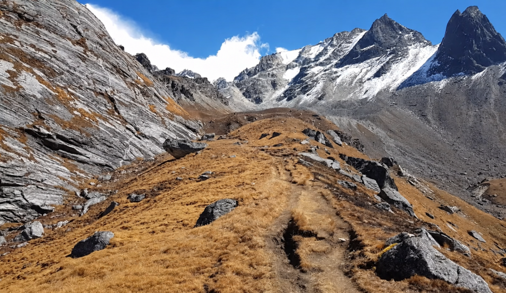
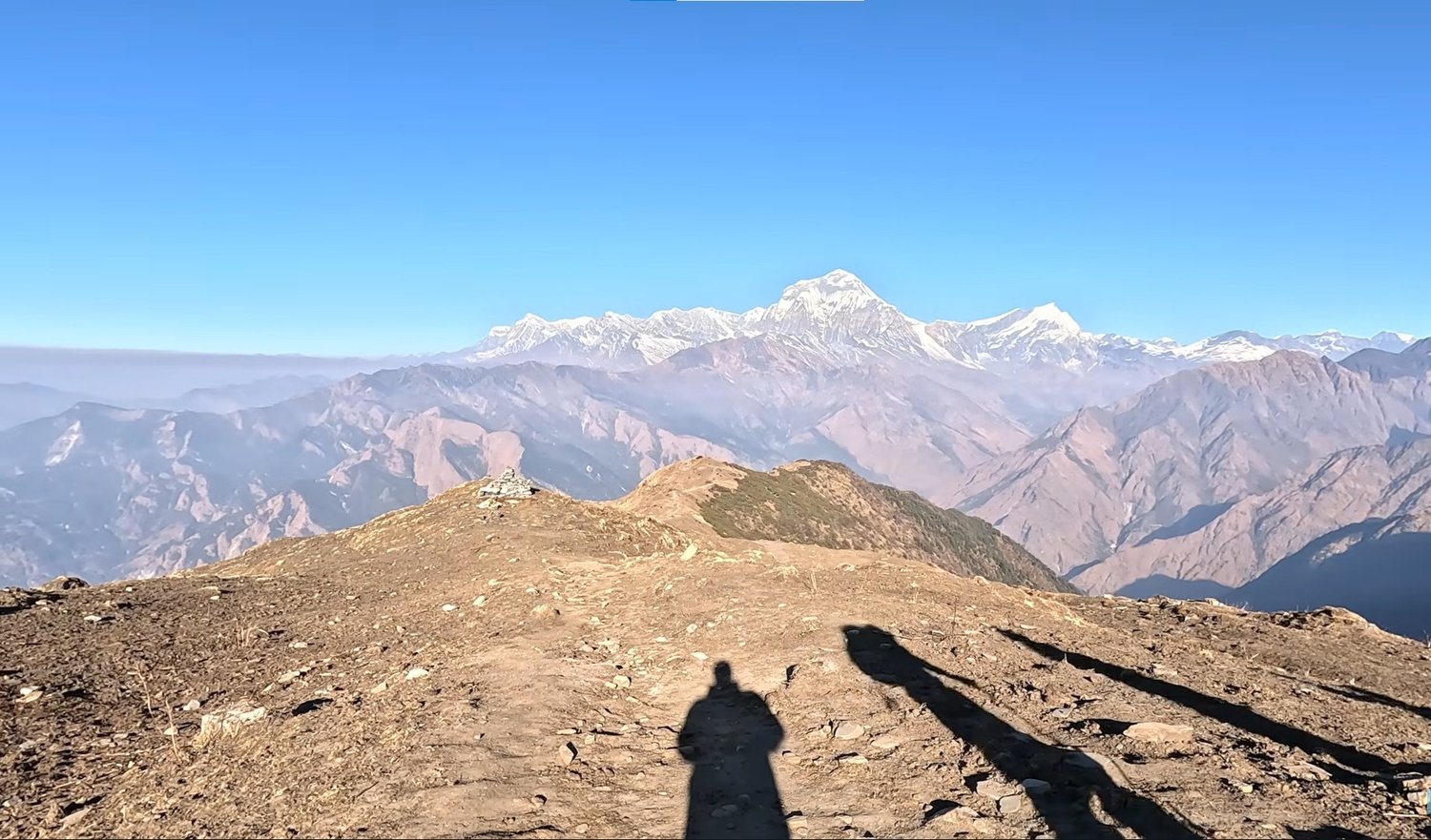
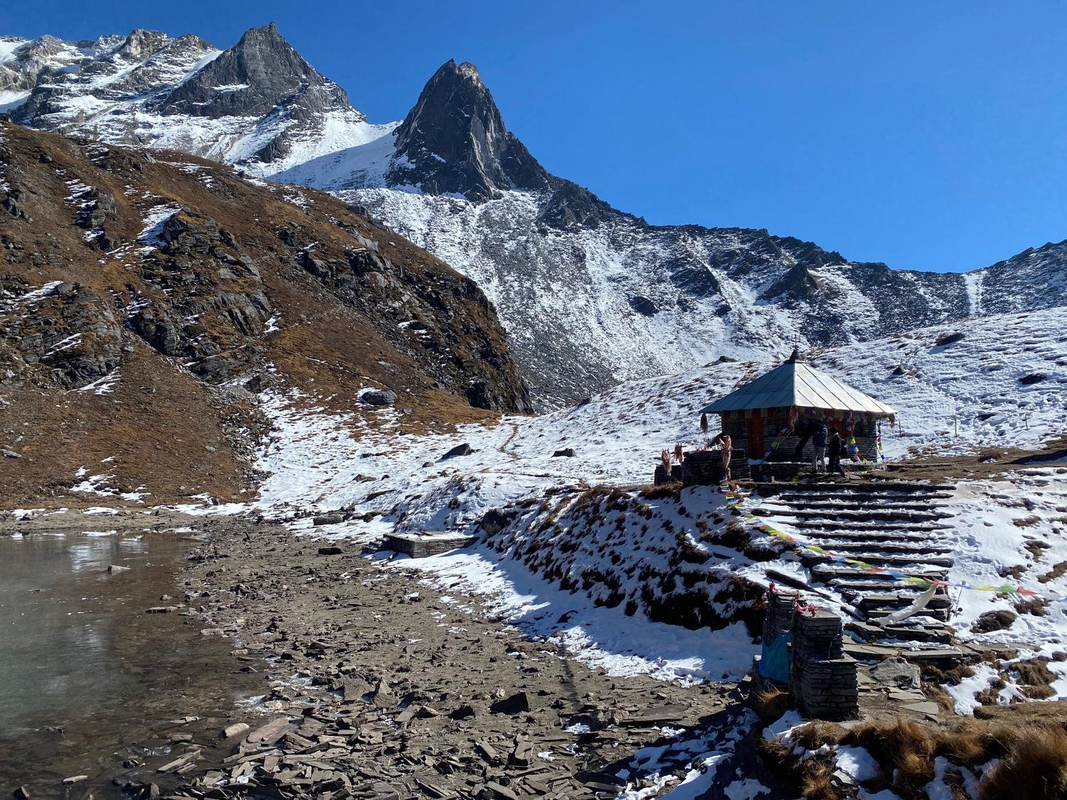
The main highlight of the trek is Khopra Ridge itself. At 3,660 metres, it sits above the tree line and opens out into a huge Himalayan panorama.
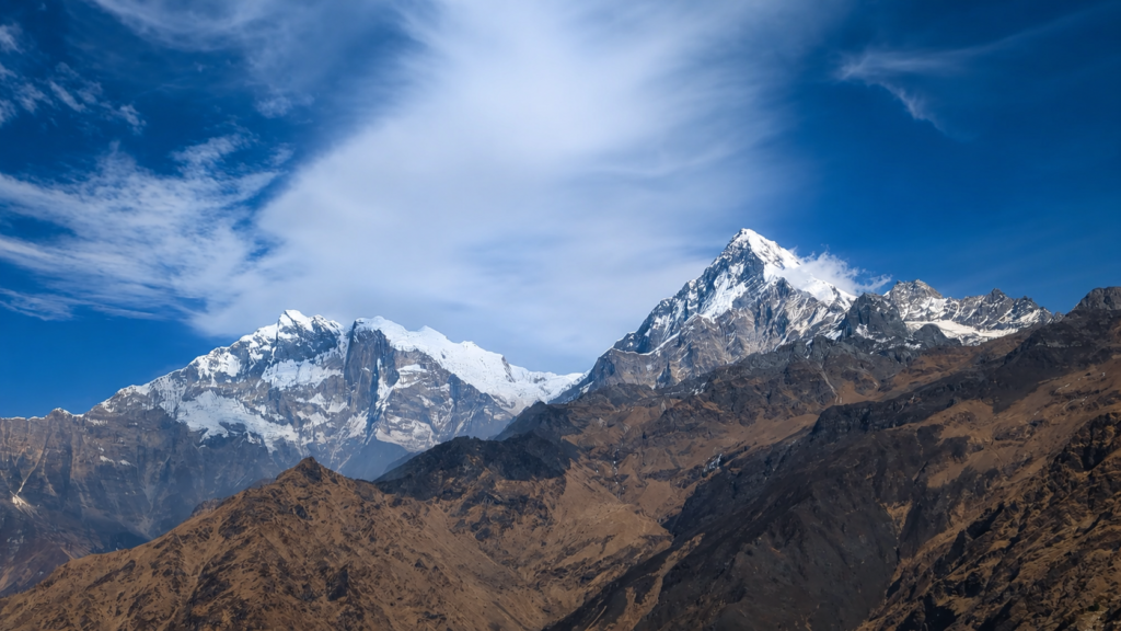
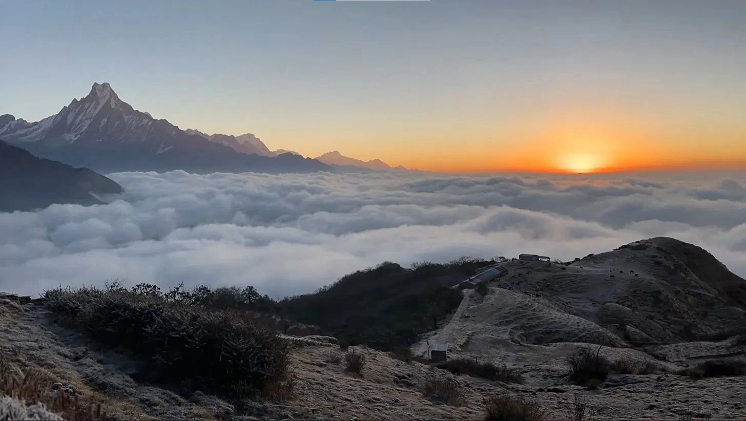
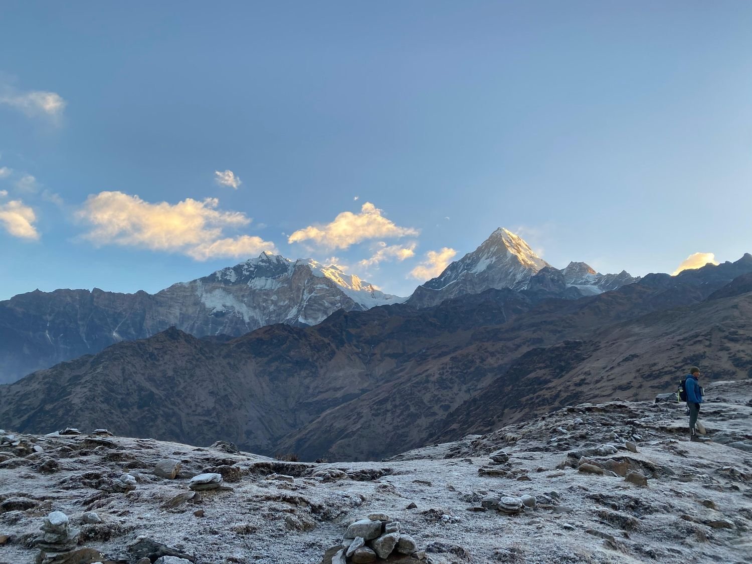
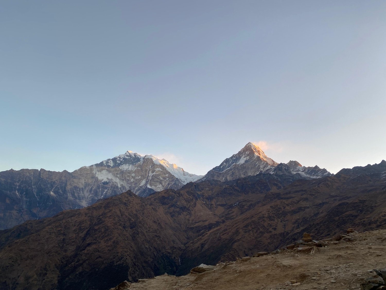
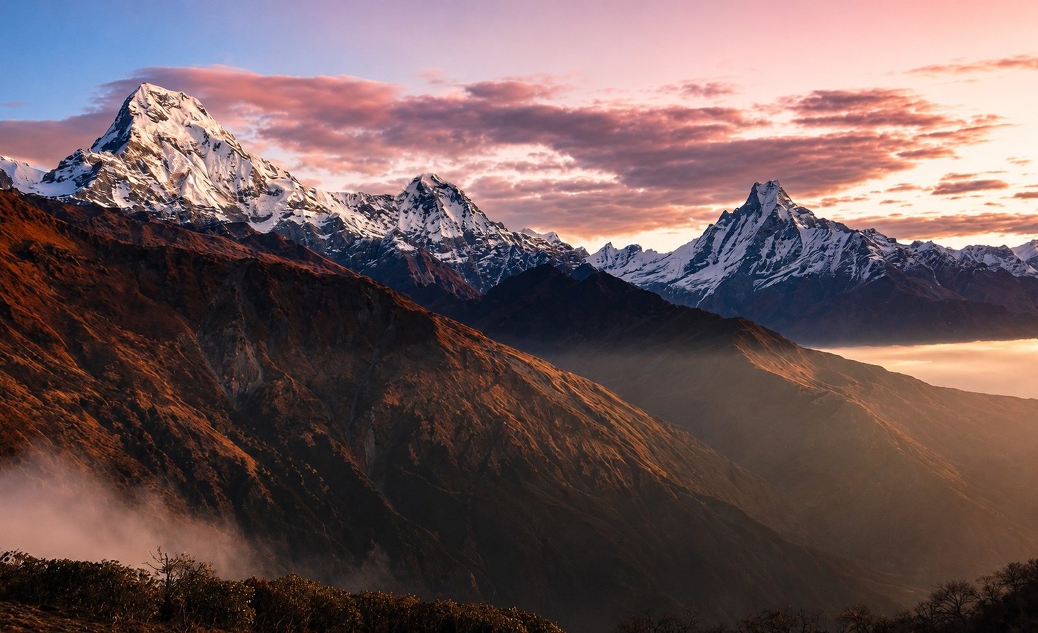
This is the place that gives the trek its name, and it is the part most trekkers remember most clearly. Standing on the ridge, you can see Dhaulagiri on one side and Annapurna South, Hiunchuli, Nilgiri, Gangapurna, and Machhapuchhre on the other.
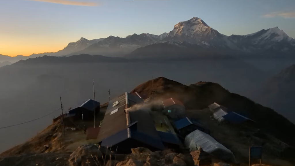
The view is wide, clean, and powerful. It feels less like looking at one viewpoint and more like being placed right in the middle of the mountains.
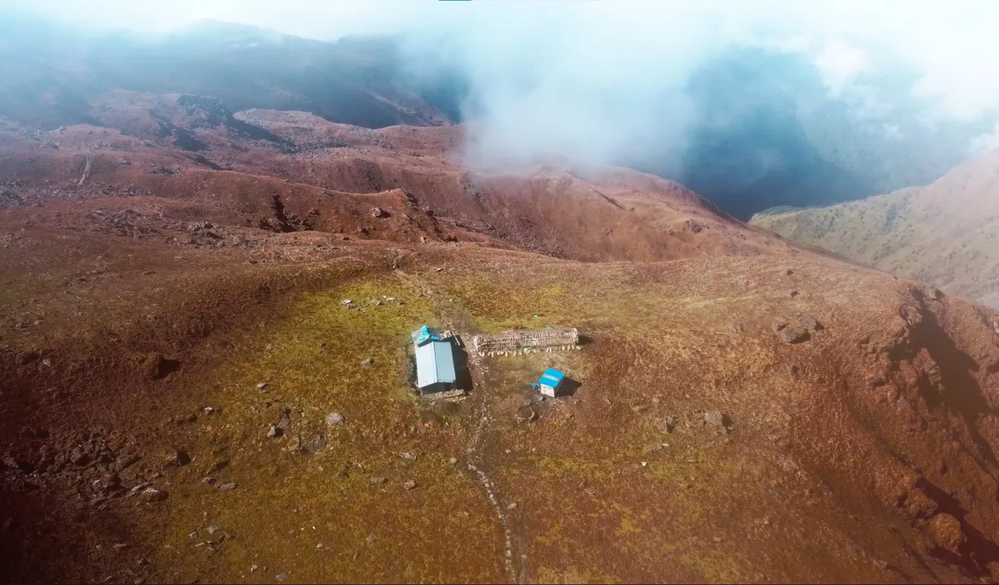
Khopra Ridge also has a feeling of space that many busier trekking routes do not offer. There are no big crowds pushing through the trail, and the lodges are smaller and simpler.
That gives the whole area a quieter rhythm. You can sit outside, watch the light change on the peaks, and actually feel the stillness of the place. For many trekkers, that quieter atmosphere is just as valuable as the view itself.
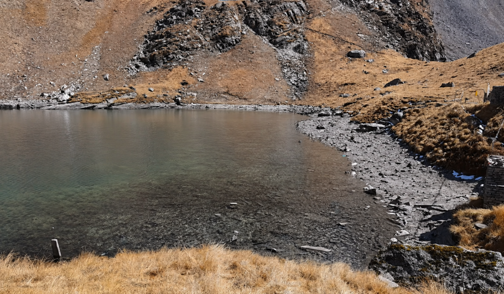
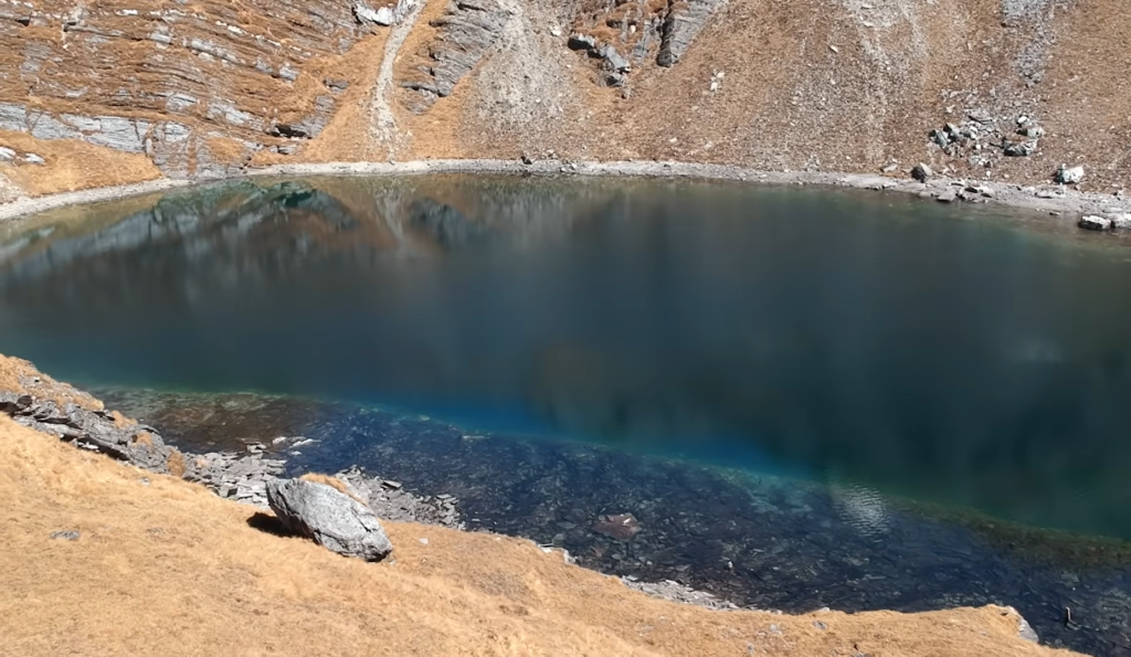
For those who are fit enough and want a more demanding high-altitude day, the trip to Khayer Lake adds another level to the trek.
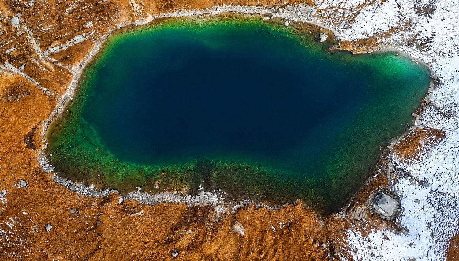
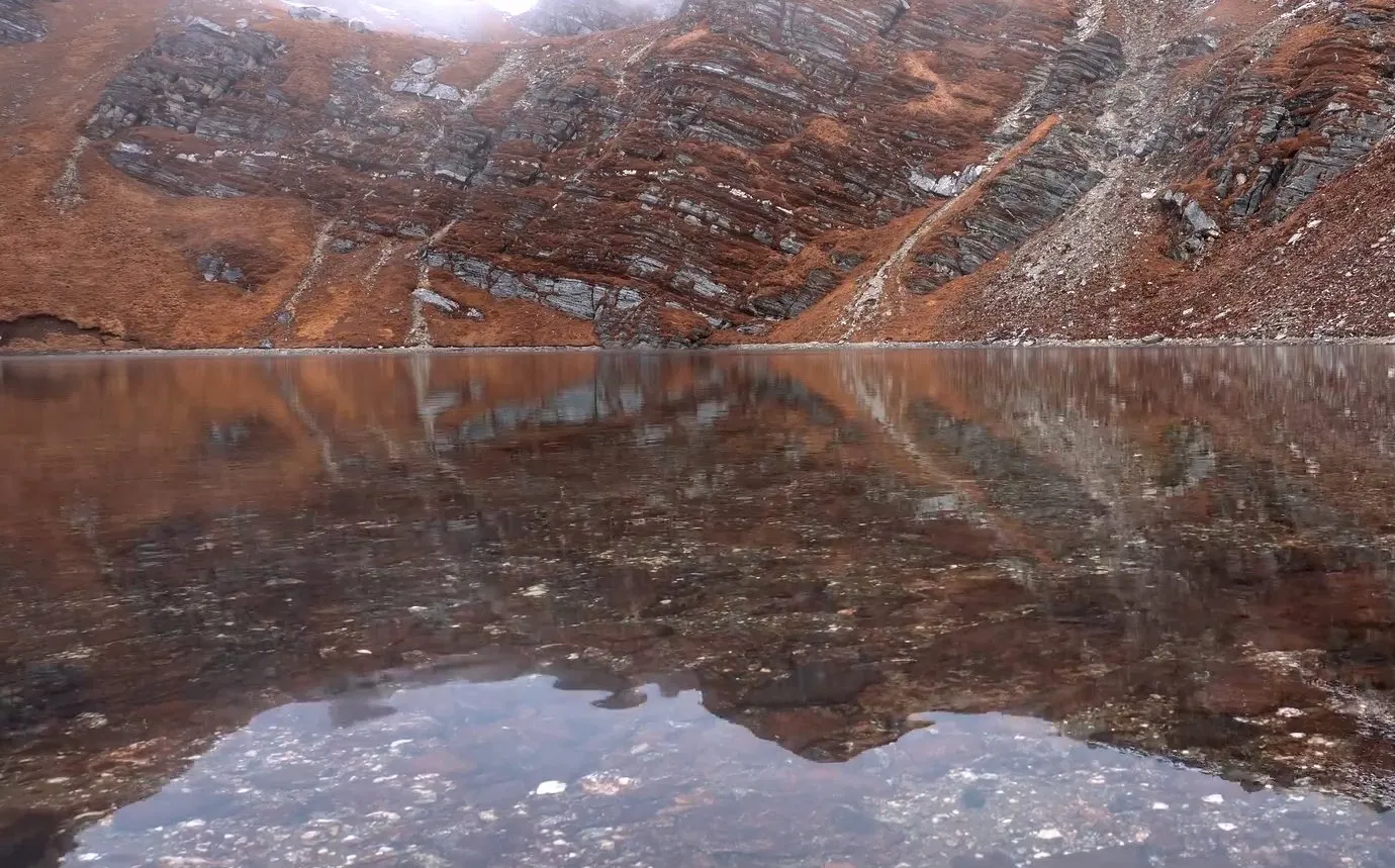
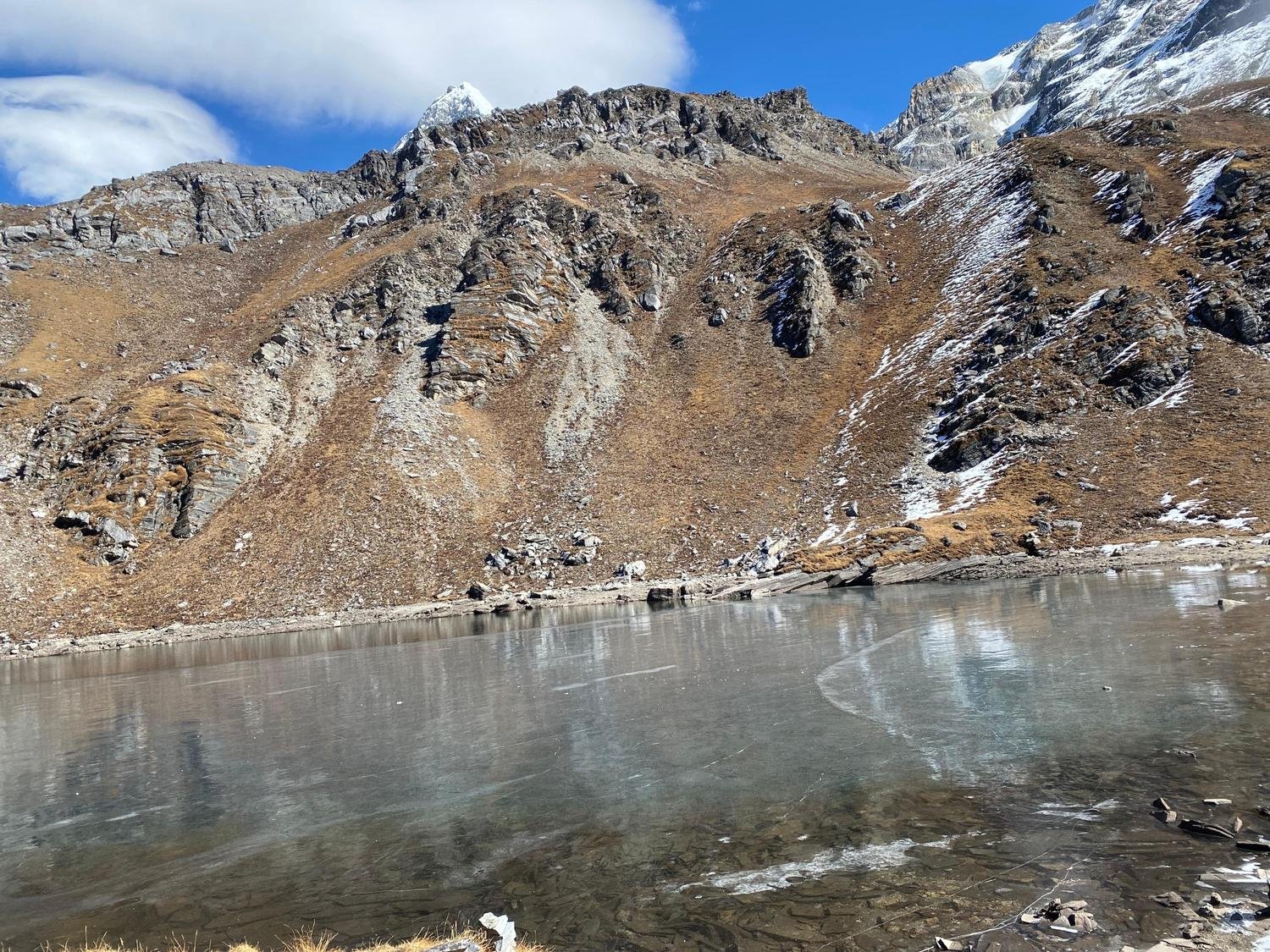
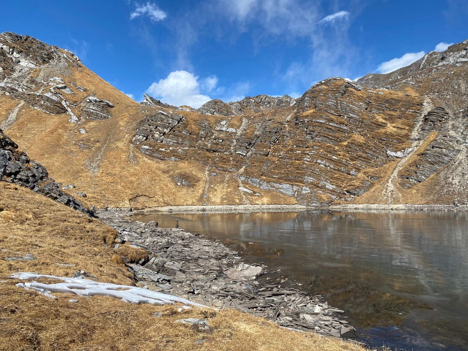
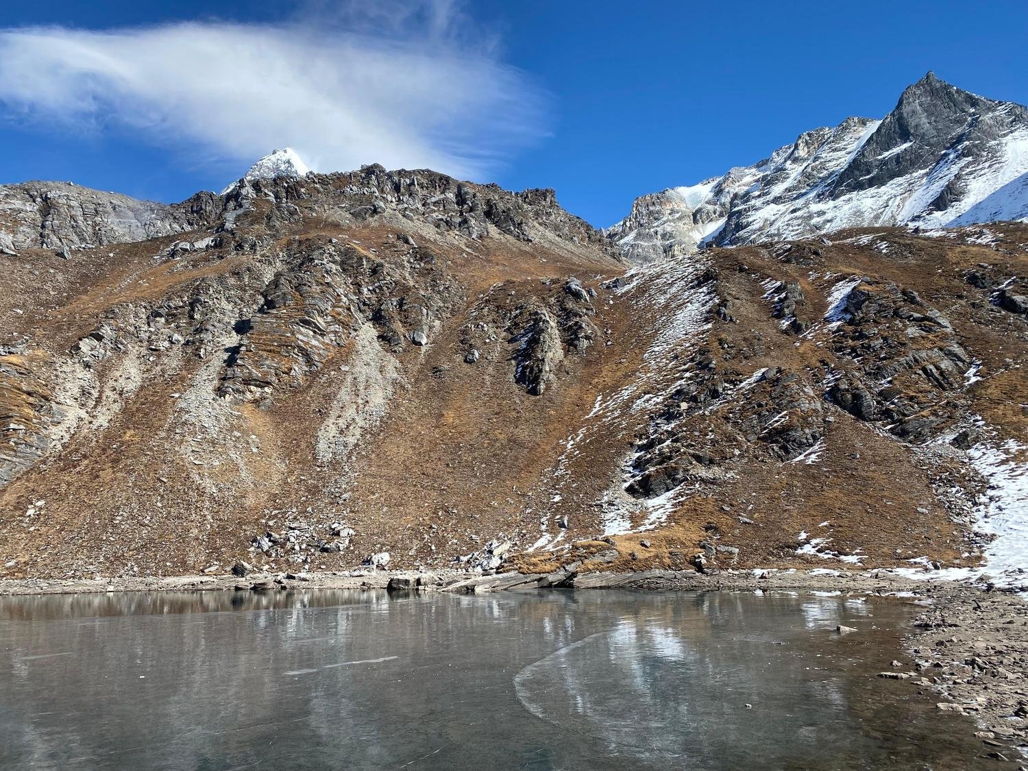
The lake lies at 4,688 metres and is considered sacred by local communities. The climb is steep and tiring, but the reward is a very memorable high mountain experience.
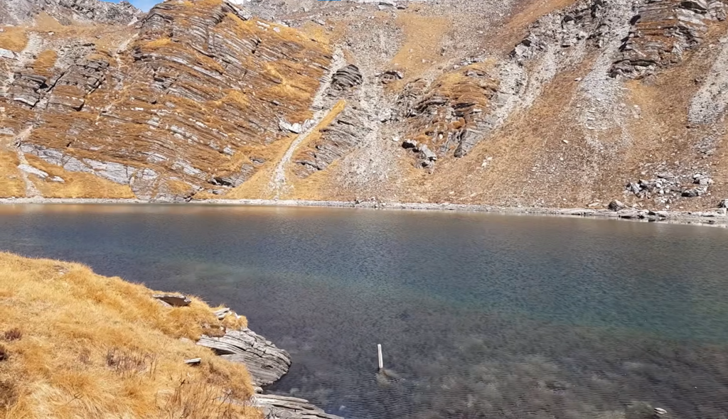
The air becomes thinner, the landscape feels more raw, and the silence around the lake gives the day a special weight.
It is not a mandatory part of the trek, but it is one of the reasons Khopra Danda has such a strong reputation among more experienced hikers.
Another thing that makes this route appealing is that it combines different cultural zones.
Early on, you pass through Gurung villages like Ghandruk and Tadapani. Later, when the route descends toward Swanta, you enter Magar territory.
That change gives the trek more character. It is not just about mountains. It is also about the people who live in these hills, the way the villages are built, and how life in the Himalaya is shaped by altitude, agriculture, and tradition.
The descent through Swanta also gives the trek a softer finish. After the exposed ridge and high-altitude sections, the trail drops back into greener, warmer hills with terraced fields and a more relaxed atmosphere.
Swanta has its own beauty, and it helps balance the stronger high mountain sections with something more grounded and lived in.
By the time the trek reaches Ghorepani, the route has already given you a lot, and Poon Hill becomes a final classic highlight before the journey returns to Pokhara.
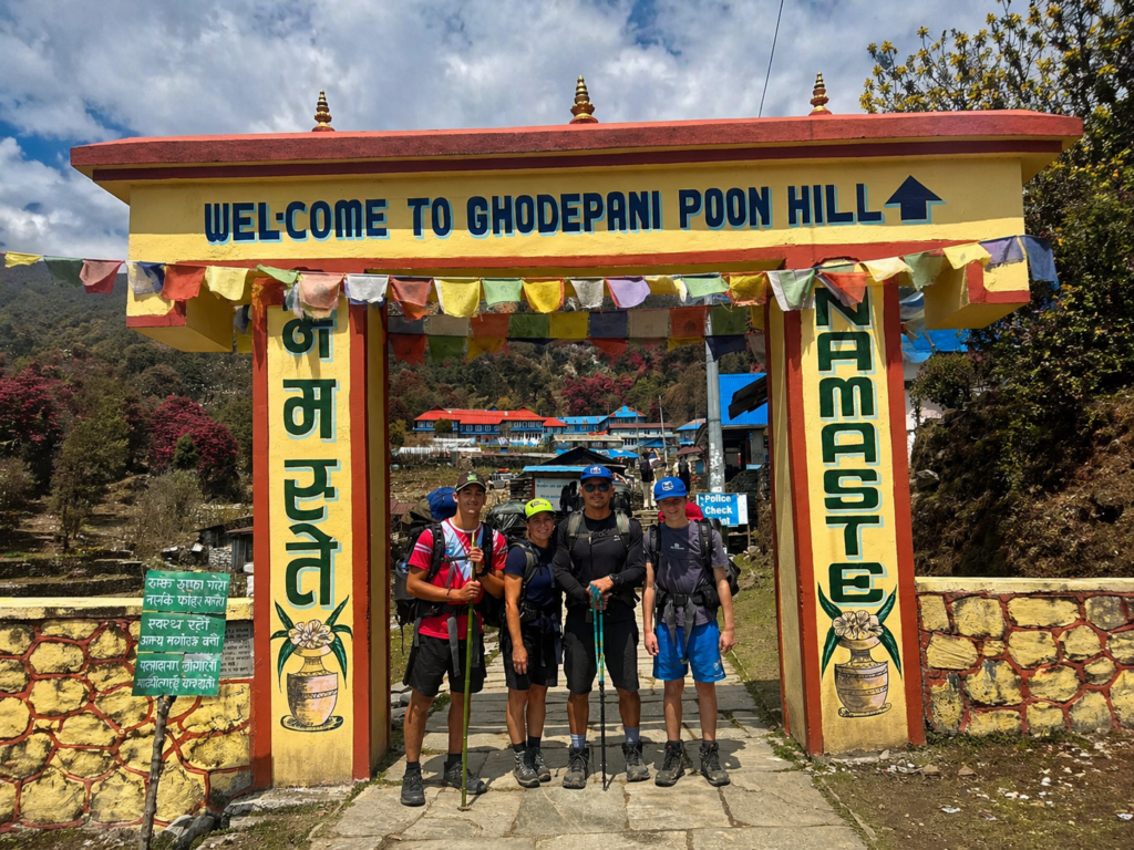
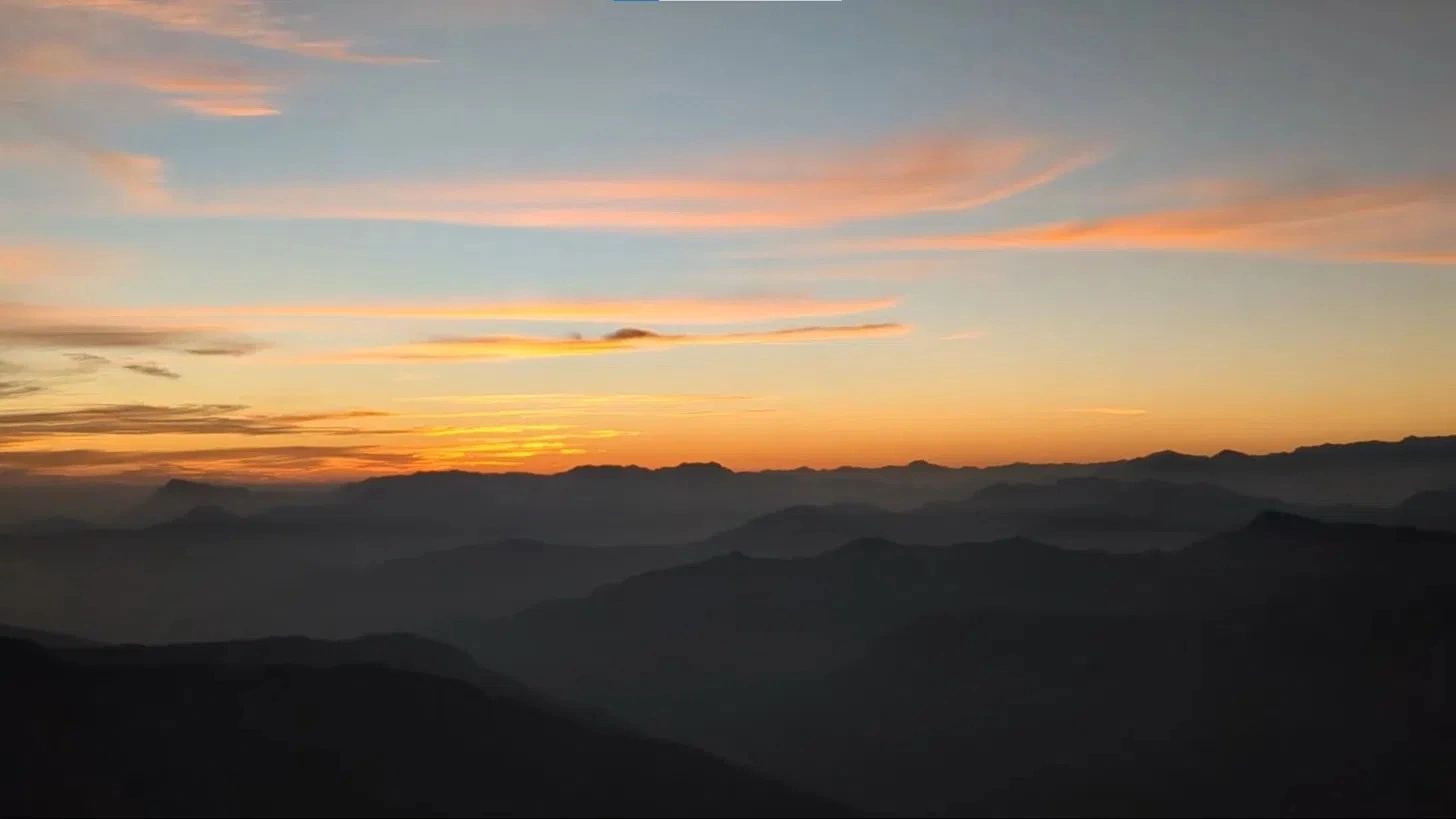
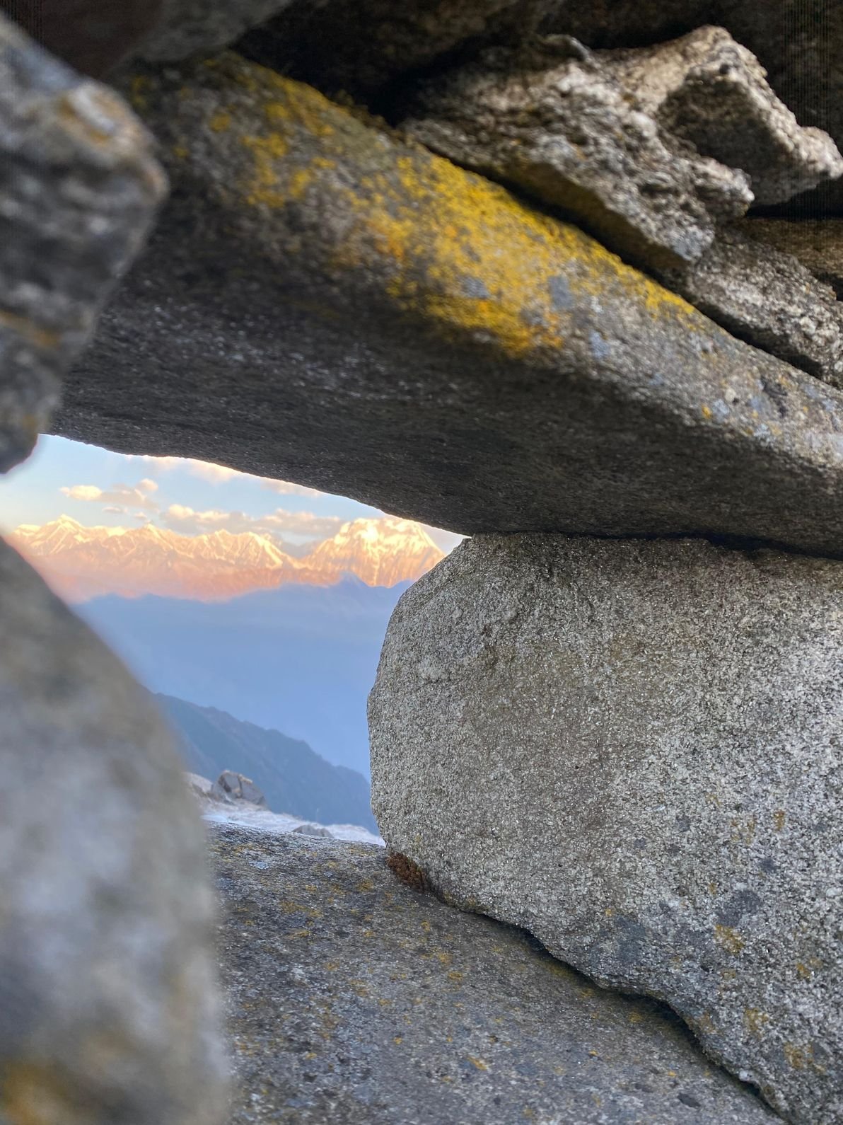
Poon Hill is well known for a reason. The sunrise there is one of the most famous in Nepal, and it works well as the closing scene for this trek.
After the quieter ridge walking of Khopra, seeing the Annapurna and Dhaulagiri ranges lit up in the early morning feels like the right ending.
It is a reminder that this trek does not rely on one big moment. It gives you several strong ones, each in a different setting.
In terms of difficulty, Khopra Danda Trek is usually considered moderate to challenging. It is not technical, and no climbing skills are needed, but there are steep sections, long walking days, and some demanding altitude gains.
Trekkers should come with decent fitness and a willingness to walk for several consecutive days. The reward is that the route feels well paced.
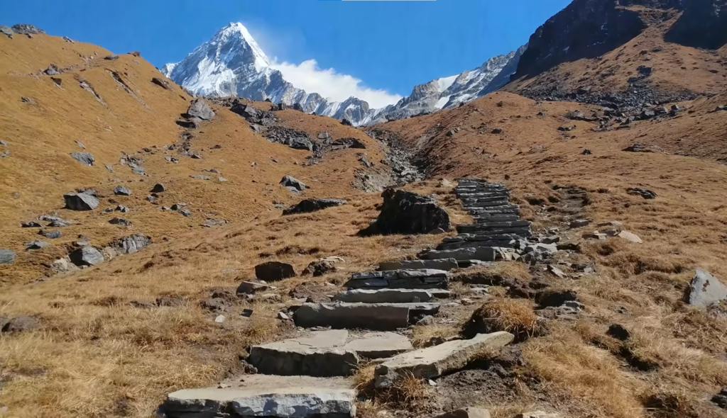
It gives you time to adjust gradually while still offering enough challenge to feel like a real mountain journey.
The best time to do the trek is in spring or autumn. Spring brings clear skies and blooming rhododendrons, while autumn usually gives the sharpest views and the most stable weather.
Winter can also be beautiful if you are prepared for the cold, especially at Khopra Ridge and above. Monsoon is less suitable because rain can make the trails slippery and the mountain views less reliable.
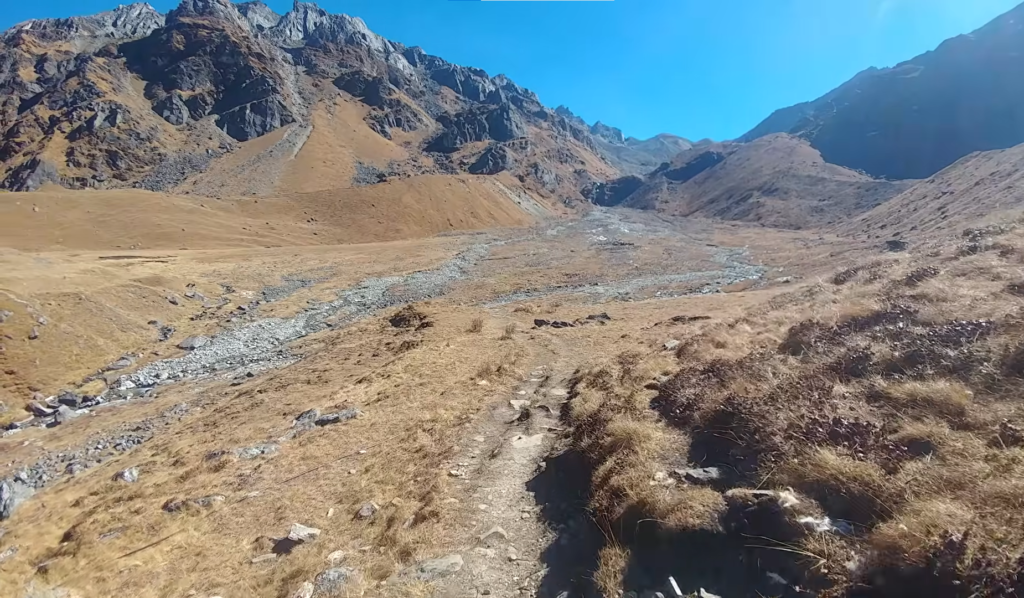
Khopra Danda Trek is a route that delivers a lot without feeling rushed or overpacked. It has quiet trails, strong cultural sections, beautiful forests, dramatic high ridge scenery, and some of the best mountain views in the Annapurna region.
It is the kind of trek that stays with you because it feels balanced. It is scenic, peaceful, and varied, but it also has enough challenge and depth to feel like a proper Himalayan journey.
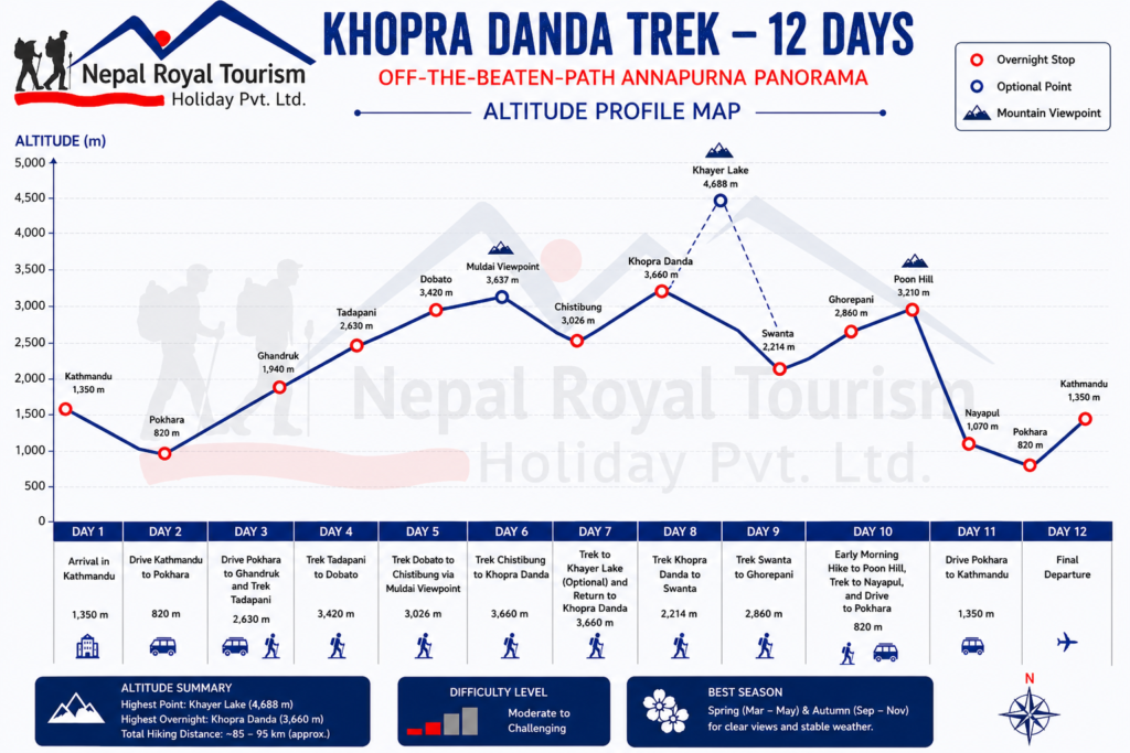
Altitude Profile
| Section | Altitude | Terrain and Experience |
|---|---|---|
| Kathmandu and Pokhara | 800 to 1,400 m | City, road travel, orientation |
| Lower trail | 1,000 to 2,000 m | River valleys, farmland, Gurung villages |
| Forest mid-trail | 2,000 to 2,700 m | Dense rhododendron and bamboo, ridge walking |
| Upper approach | 2,700 to 3,420 m | Alpine scrub, high meadow, Dhaulagiri appears |
| High ridge | 3,420 to 3,660 m | Open ridge, 360-degree panorama |
| Khayer Lake (optional) | 3,660 to 4,688 m | High alpine, glacial lake, sacred terrain |
| Return trail | 2,214 to 2,860 m | Forest descent, Magar villages, Ghorepani |
| Poon Hill | 3,210 m | Classic sunrise viewpoint |
Difficulty Overview
| Factor | Level | Notes |
|---|---|---|
| Physical demand | Moderate to High | 5 to 8 hours walking per day on steep varied terrain |
| Maximum altitude | Moderate to High | 3,660 m at ridge, 4,688 m at Khayer Lake (optional) |
| Technical difficulty | Low | No climbing or specialist equipment required |
| Endurance requirement | Moderate to High | Several consecutive days of sustained uphill sections |
| Weather exposure | Moderate | Cold above 3,000 m, stable in spring and autumn |
Clothing Layers
| Layer | Items |
|---|---|
| Base layer | Moisture wicking shirts, thermal long sleeves |
| Mid layer | Fleece jacket, light insulation layer |
| Outer layer | Waterproof jacket, windproof shell, waterproof trousers |
| Lower body | Trekking pants, thermal leggings |
| Warm layer | Down jacket essential for Dobato and above |
| Accessories | Warm gloves, wool hat, buff, sun hat |
Essential Gear
| Category | Items |
|---|---|
| Footwear | Well broken-in waterproof trekking boots, sandals for teahouses |
| Backpack | Daypack 30 to 40 litres, larger duffel for porter |
| Sleeping | Sleeping bag rated to 0°C or below |
| Hydration | Reusable water bottles, purification tablets or filter |
| Safety | Sunscreen, high UV sunglasses, personal first aid kit |
| Extras | Trekking poles, headlamp with spare batteries, power bank |
Trip Highlights
- Stand on Khopra Ridge at 3,660 metres and enjoy one of the widest mountain panoramas in Nepal, with Dhaulagiri, Annapurna South, Hiunchuli, Nilgiri, Gangapurna, and Machhapuchhre all visible from a single viewpoint.
- Visit Khayer Lake at 4,688 metres, a sacred glacial lake above Khopra Ridge surrounded by the towering peaks of the Annapurna and Dhaulagiri ranges.
- Reach Muldai Viewpoint at 3,637 metres, a quieter and higher alternative to Poon Hill with scenic views of Annapurna I, Annapurna South, Nilgiri, Tukuche Peak, and the Dhaulagiri massif.
- Pass through traditional Gurung and Magar communities including Ghandruk, Tadapani, Swanta, and Ghorepani, where stone houses, family-run teahouses, and mountain life still feel closely tied to the land.
- Walk through dense rhododendron and bamboo forest between Ghandruk and Tadapani, and again on the descent toward Swanta, where spring blooms can turn the hillsides red and pink beneath the mountains.
- Enjoy views of the Dhaulagiri range from Dobato, Muldai, and Khopra Ridge, adding the world’s seventh-highest mountain to a panorama already rich with the Annapurna massif.
- Follow a quieter western ridgeline through the conservation area, away from the busiest Annapurna trails, where the teahouses are smaller and the mountain experience feels more remote.
- Descend from Khopra Ridge through the Magar village of Swanta, experiencing the shift from open alpine ground to green terraced hills and lower mountain settlements.
- Complete a thirteen-day route that moves through four distinct environmental zones and two major cultural communities, with one of the widest altitude ranges on a non-technical trek in Nepal.
- Travel through a route that feels balanced, scenic, and less crowded while still offering a full Annapurna experience.
Khopra Danda Trek with Khayer Lake – 12 Days ~ Itinerary
Day 1
Arrival in Kathmandu
- Altitude: 1350 m
- Accommodation: Standard Three Star Hotel in Thamel
Your Himalayan adventure begins today. A Nepal Royal Tourism Holidays representative meets you at Tribhuvan International Airport and escorts you to your hotel in the Thamel, Kathmandu. The rest of the day is free to rest, explore nearby markets or do a final gear shopping/rent. In the evening your guide will review the plan and answer any last questions before your Khopra Danda trek starts.
Day 2
Drive Kathmandu to Pokhara
- Altitude: 800 m
- Travel Duration: 7 to 8 hours
- Travel Distance: 200 km
- Meal: Breakfast and Lunch
- Accommodation: Standard Three Star Hotel in Pokhara
After breakfast we depart Kathmandu for Pokhara. The scenic road winds through hills and river valleys; expect about a 6–7 hour journey. We may stop en route in Dhading or Bandipur for views and refreshments. Arriving in Pokhara, check into your hotel by the lake. The afternoon is yours to stroll Lakeside, relax by Phewa Lake, or visit local markets. In Pokhara’s bustling lakeside area, you can still prepare any last gear, or simply enjoy the laid‑back town atmosphere before the trek begins.
Day 3
Drive Pokhara to Ghandruk and Trek Tadapani
- Altitude: 2630 m
- Travel Duration: 2 hours
- Travel Distance: 60 km
- Trek Duration: 3 to 4 hours
- Trek Distance: 7 km
- Meal: Breakfast, Lunch and Dinner
- Accommodation: Teahouse in Ghandruk
Today’s journey officially begins. After an early breakfast, we drive from Pokhara to Ghandruk, the trailhead of the Annapurna Sanctuary trek. The road ride takes about 1.5–2 hours. From Grandruk we set off on foot along a wide valley path, crossing small rivers and passing through farmland, stone villages, and terraced fields to Tadapani. The trail steadily climbs. After a ferry crossing at Syauli Bazaar or Tikhedhunga, you begin a long ascent through oak and rhododendron forest. Ghandruk is a large Gurung settlement known for its cultural museum. On a clear day you’ll have your first sight of Annapurna South and Hiunchuli glancing nearby. the path leaves Ghandruk and continues climbing. The trail first drops through pine forest to the Chhomrong Khola, then immediately ascends again. You pass smaller villages (such as Ghatte Khola) and several ridge-lines, often with close-up views of mountain waterfalls. The air becomes crisper as you climb above 2,000 m. The last stretch to Tadapani (2,630 m) is a gradual ascent through dense oak and rhododendron forest. Tadapani is a small settlement of tea lodges perched on a ridge.
Day 4
Trek Tadapani to Dobato
- Altitude: 3420 m
- Trek Duration: 5 to 6 hours
- Trek Distance: 9 to 10 km
- Meal: Breakfast, Lunch and Dinner
- Accommodation: Teahouse in Dobato
From Ghandruk the trail climbs initially through the upper village lanes and terraced fields before entering the forest zone that dominates the day. The path passes through Bambhanjyang at around 2,030 metres, a small ridge crossing point, and then moves into increasingly dense rhododendron and bamboo forest as the altitude increases. The forest here is one of the most atmospheric sections of the entire route, with the canopy closing in on both sides and the air becoming noticeably cooler and richer with forest moisture. Tadapani at 2,630 metres sits on a broad open ridge where the trees pull back and views of Annapurna South, Hiunchuli, and the broader western Annapurna range open to the north. The evening light on these peaks from the lodge viewpoint at Tadapani is a consistent highlight of the lower trail.
Day 5
Trek Dobato to Chistibung via Muldai Viewpoint
- Altitude: 3026 m
- Trek Duration: 6 to 7 hours
- Trek Distance: 11 to 12 km
- Meal: Breakfast, Lunch and Dinner
- Accommodation: Teahouse in Chistibung
The morning begins with the steepest section of the trek so far, a sustained climb from Dobato through grassland and alpine scrub toward the Muldai Viewpoint at 3,637 metres. The ascent takes roughly two hours and is physically demanding but the view from the top makes it immediately worthwhile. From Muldai, the panorama extends across Annapurna South, Annapurna I, Hiunchuli, Nilgiri, Tukuche Peak, and the full Dhaulagiri massif in a single unbroken sweep. It is less visited than Poon Hill but positioned higher and arguably broader in its reach. After time at Muldai, the trail descends toward the plateau settlement of Chistibung at 3,026 metres, which sits below the south face of Machhapuchhre with the Fishtail peak visible directly above the lodges on clear days.
Day 6
Trek Chistibung to Khopra Danda
- Altitude: 3660 m
- Trek Duration: 5 to 6 hours
- Trek Distance: 8 to 9 km
- Meal: Breakfast, Lunch and Dinner
- Accommodation: Teahouse in Khopa Danda
Today the trek reaches its signature destination. From Chistibung the trail climbs north through open terrain, as the ridge becomes more exposed. The path switchbacks through a small pass at around 3,400 metres and then ascends steadily toward the plateau of Khopra Ridge at 3,660 metres. The view from the ridge is the defining moment of the entire journey. Dhaulagiri dominates the northwest, Annapurna South and Hiunchuli rise directly to the north, Nilgiri and Gangapurna are visible to the northeast, and Machhapuchhre closes the southern view. The teahouses on the ridge are basic but comfortable, and the afternoon spent walking the ridge top, watching the alpenglow on the peaks at dusk, and sitting with a hot drink while the panorama changes with the light is the experience the whole itinerary has been building toward.
Day 7
Trek to Khayer Lake and Return to Khopra Danda
- Altitude: 4688 m
- Trek Duration: 7 to 8 hours round-trip
- Trek Distance: 12 km
- Meal: Breakfast, Lunch and Dinner
- Accommodation: Teahouse in Khopra Danda
An early start before full daylight is essential for this day. From Khopra Ridge the trail climbs steeply northeast toward the Khayer Base Camp area at around 4,200 metres, then follows a rocky ridge path toward Khayer Lake at 4,688 metres. The lake is a glacial body of water considered sacred by the communities of the surrounding region, and the atmosphere at this altitude is striking in its stillness and scale. Make sure to enjoy the moment, take it a rest and click some photos for memory. Dhaulagiri and Annapurna feel significantly closer from here than from any lower point on the route. After time at the lake the path descends back to Khopra Ridge by late afternoon, making it a long but very manageable day for fit trekkers. For those who choose not to make the Khayer Lake trip, the day at Khopra Ridge offers excellent ridge walking, close-range peak photography, and complete rest before the descent begins.
Day 8
Trek Khopra Danda to Swanta
- Altitude: 2214 m
- Trek Duration: 5 to 6 hours
- Trek Distance: 9 to 10 km
- Meal: Breakfast, Lunch and Dinner
- Accommodation: Teahouse in Swanta
The descent from Khopra Ridge begins today and the environmental shift happens quickly. The trail drops back through the ridge terrain, passing the prayer flags and the Chistibung settlement before entering the forest zone again. Swanta at 2,214 metres is a Magar village set in lush hillside terrain above a river valley, and its terraced fields, green surroundings, and settled warmth feel genuinely welcoming after the exposure of the ridge. The Magar community here has a distinct cultural character from the Gurung villages at the start of the trek, and the evening at Swanta adds a different kind of depth to the journey.
Day 9
Trek Swanta to Ghorepani
- Altitude: 2860 m
- Trek Duration: 6 to 7 hours
- Trek Distance: 4 to 5 km
- Meal: Breakfast, Lunch and Dinner
- Accommodation: Teahouse in Ghorepani
Today you hike through more villages up to Ghorepani. The trail climbs gently from Swanta into denser forest. You pass rural villages like Bayli Kharka before a final ascent to Ghorepani (2,860 m). Ghorepani is a large village that marks the meeting point of several trails. It’s famous as the launch point for Poon Hill. In the evening, climb up to the hilltop near Ghorepani for a broad view of the northern mountains silhouetted at sunset. Stay overnight in one of the comfortable lodges. Ghorepani’s dining areas often have a cozy atmosphere, and you can chat with guides who have come down from the upper trails.
Day 10
Early Morning Hike to Poon Hill, Trek to Nayapul, and Drive to Pokhara
- Altitude: 2630 m
- Travel Duration: 2 hours
- Travel Distance: 60 km
- Trek Duration: 3 to 4 hours
- Trek Distance: 7 km
- Meal: Breakfast, Lunch and Dinner
- Accommodation: Teahouse in Pokhara
The alarm goes before dawn today. The hike from Ghorepani to Poon Hill at 3,210 metres takes around forty-five minutes on a well-marked path, and the sunrise from the top is the reason trekkers have been making this early start for decades. Annapurna I, Annapurna South, Dhaulagiri, and Machhapuchhre are all visible simultaneously in the morning light, and the way the first sun moves across the snow faces of these peaks from the elevated ground of Poon Hill is the kind of mountain experience that is difficult to find words for. After sunrise and breakfast back in Ghorepani, the day’s long descent begins. The trail drops through Ulleri via its famous stone staircases, continues through Tikhedhunga and Birethanti, and arrives at Nayapul in the mid-afternoon. A vehicle meets the group for the two to three hour drive back to Pokhara.
Day 11
Drive Pokhara to Kathmandu
- Altitude: 1350 m
- Travel Duration: 7 to 8 hours
- Travel Distance: 200 km
- Meal: Breakfast
- Accommodation: Standard Three Star Hotel in Thamel
After breakfast at the hotel the group travels east from Pokhara back along the Prithvi Highway toward Kathmandu. The journey can be made by road or flight depending on your preference and schedule. Once back in the capital, the rest of the day is free for rest or final shopping. In the evening, you can enjoy a dinner in Thamel and reflect on the trek you have just completed.
Day 12
Final Departure
- Meal: Breakfast
Your trek comes to an end today. After breakfast, you are transferred to the airport for your final departure from Nepal. Hopefully, Nepal Royal Tourism Holidays has been a great companion along the trek, and we wish to serve you once again in the near future.
Khopra Danda Trek with Khayer Lake – 12 Days Fixed Departures Dates
Trip Cost Includes/Excludes
Cost Includes
- Airport transfers in Kathmandu on arrival and departure via private vehicle.
- Hotel accommodation in Kathmandu and Pokhara (twin share, three-star standard)
- Kathmandu to Pokhara to Kathmandu by Tourist bus.
- Teahouse accommodation throughout all trekking days
- Three meals (Breakfast, Lunch and Dinner) a day during trekking days with a cup of tea/Coffee.
- Experienced English-speaking licensed trekking guide
- Porter support (one porter per two trekkers)
- Annapurna Conservation Area Permit and all required trekking permits
- Private Transportation from Pokhara to Birethanti (trek starting point) and Ghandruk (trek ending point) to Pokhara
- Trekking map and pre-departure briefing session
- Khopra Danda Trek completion certificate and complimentary company T-shirt
- All government taxes and service charges
Cost Excludes
- International flights to and from Kathmandu
- Nepal entry visa fee
- Travel insurance with emergency helicopter evacuation coverage (mandatory)
- Personal trekking equipment and clothing
- Drinks, bottled water, coffee, and tea at teahouses
- Hot shower, WiFi, and battery charging fees at teahouses
- Tips for guide and porter staff
- Expenses arising from weather delays, flight cancellations, or other such circumstances
- Anything not explicitly listed under What Is Included
Trip Photo/Video Gallery
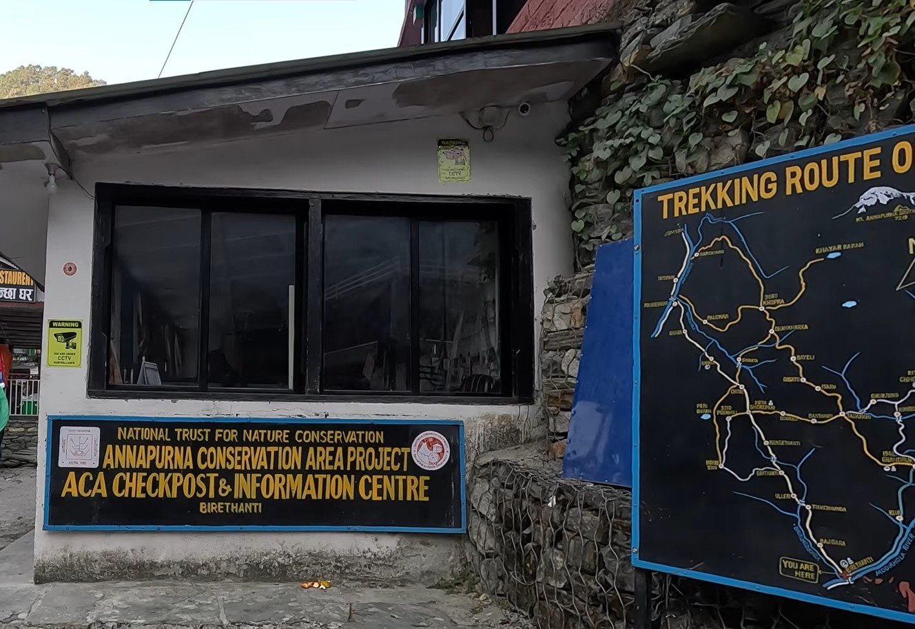
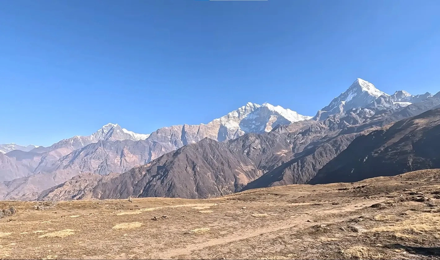
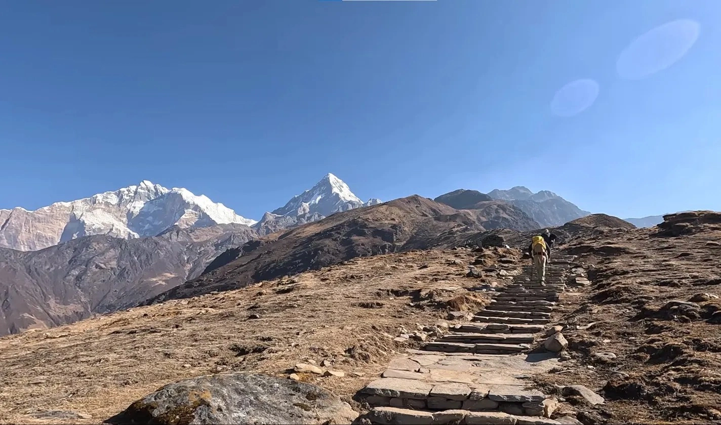
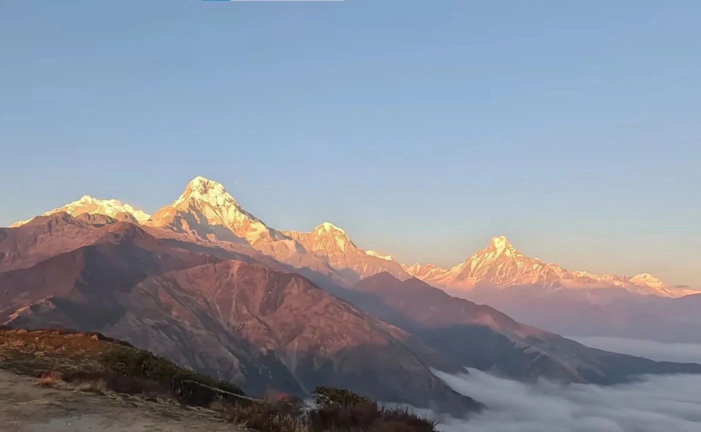
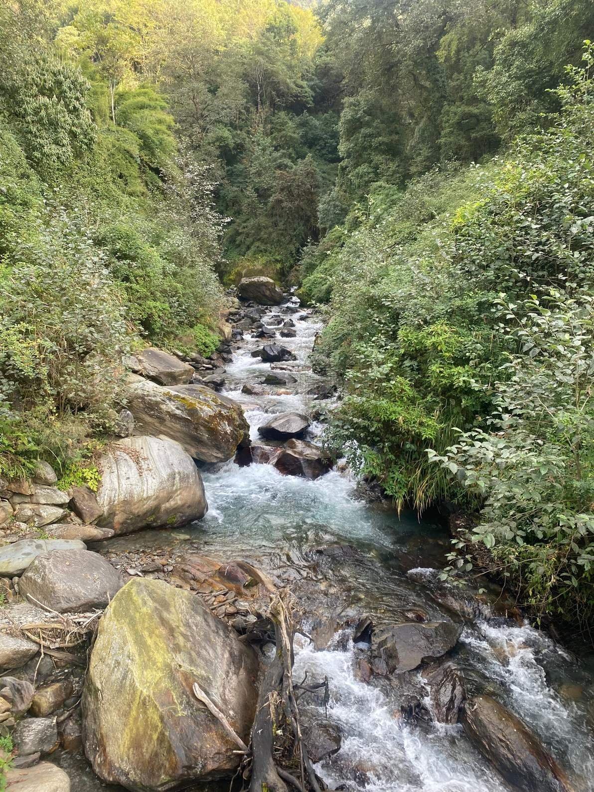
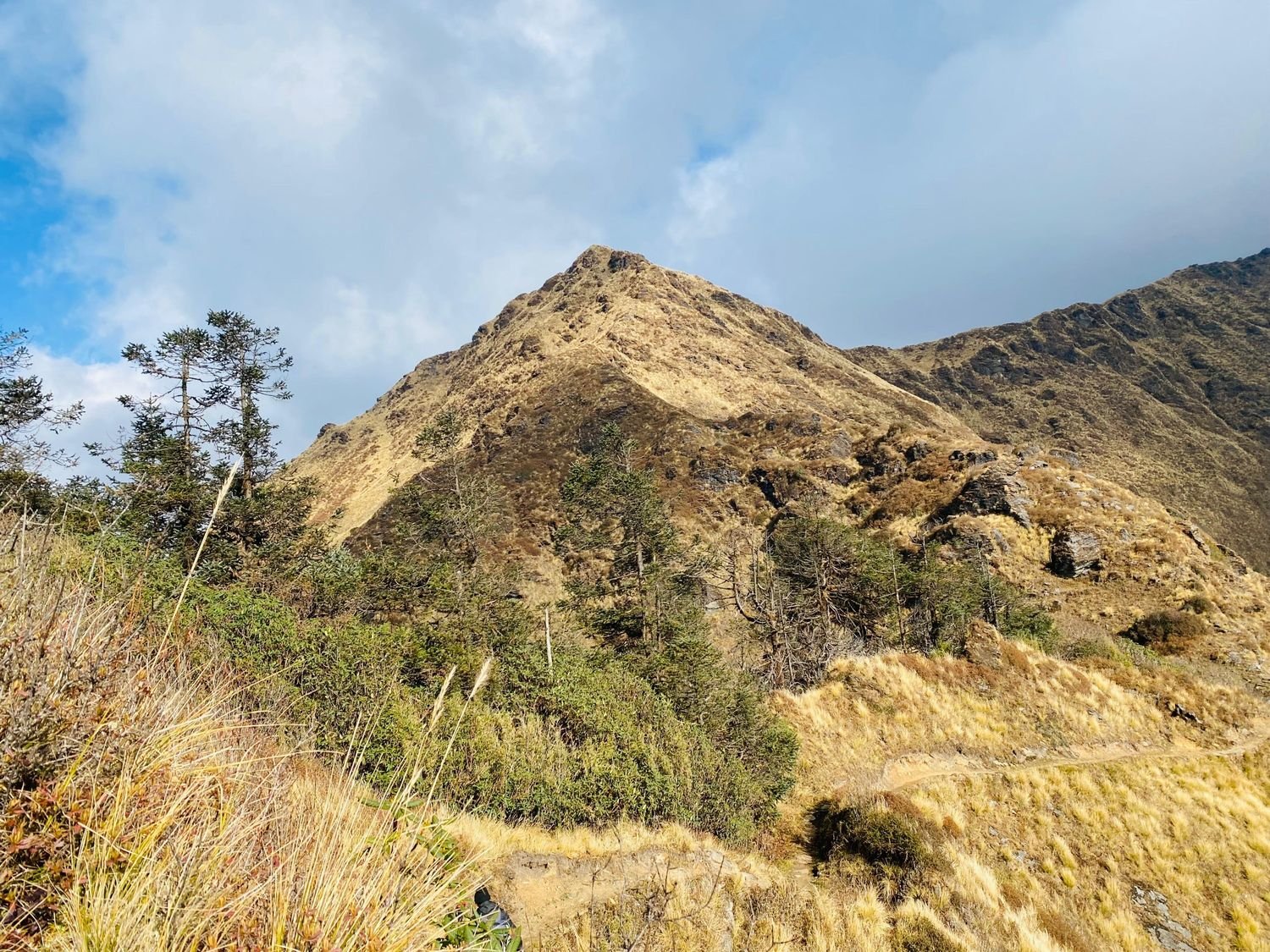
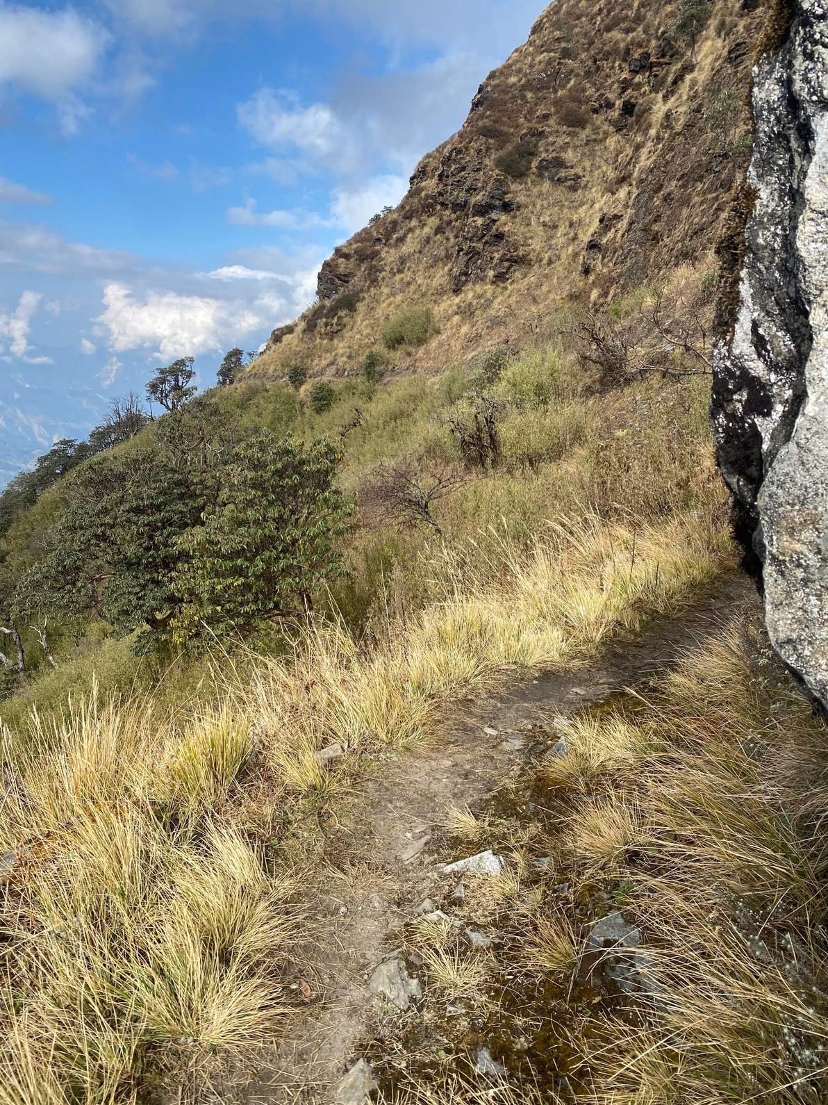
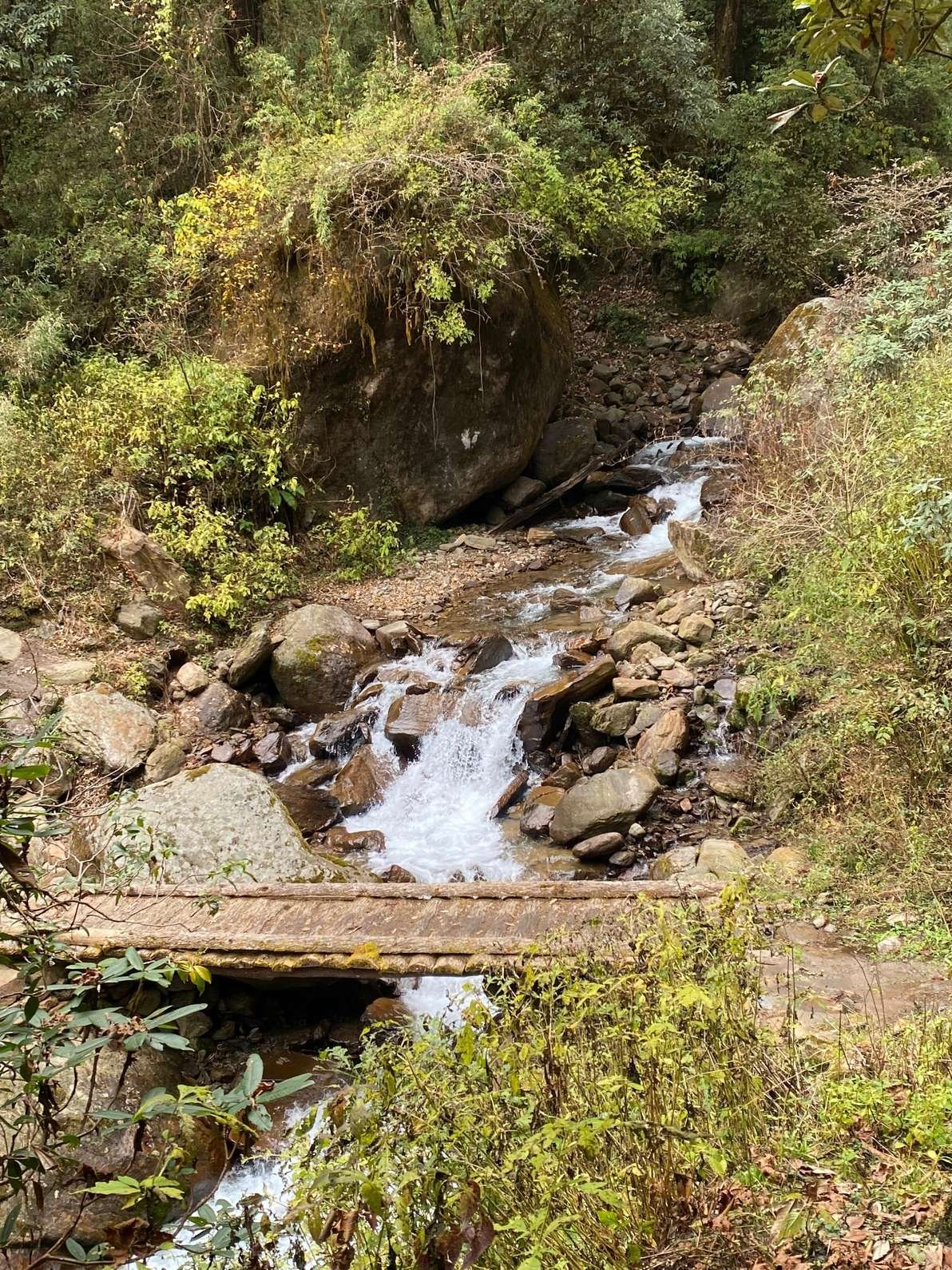
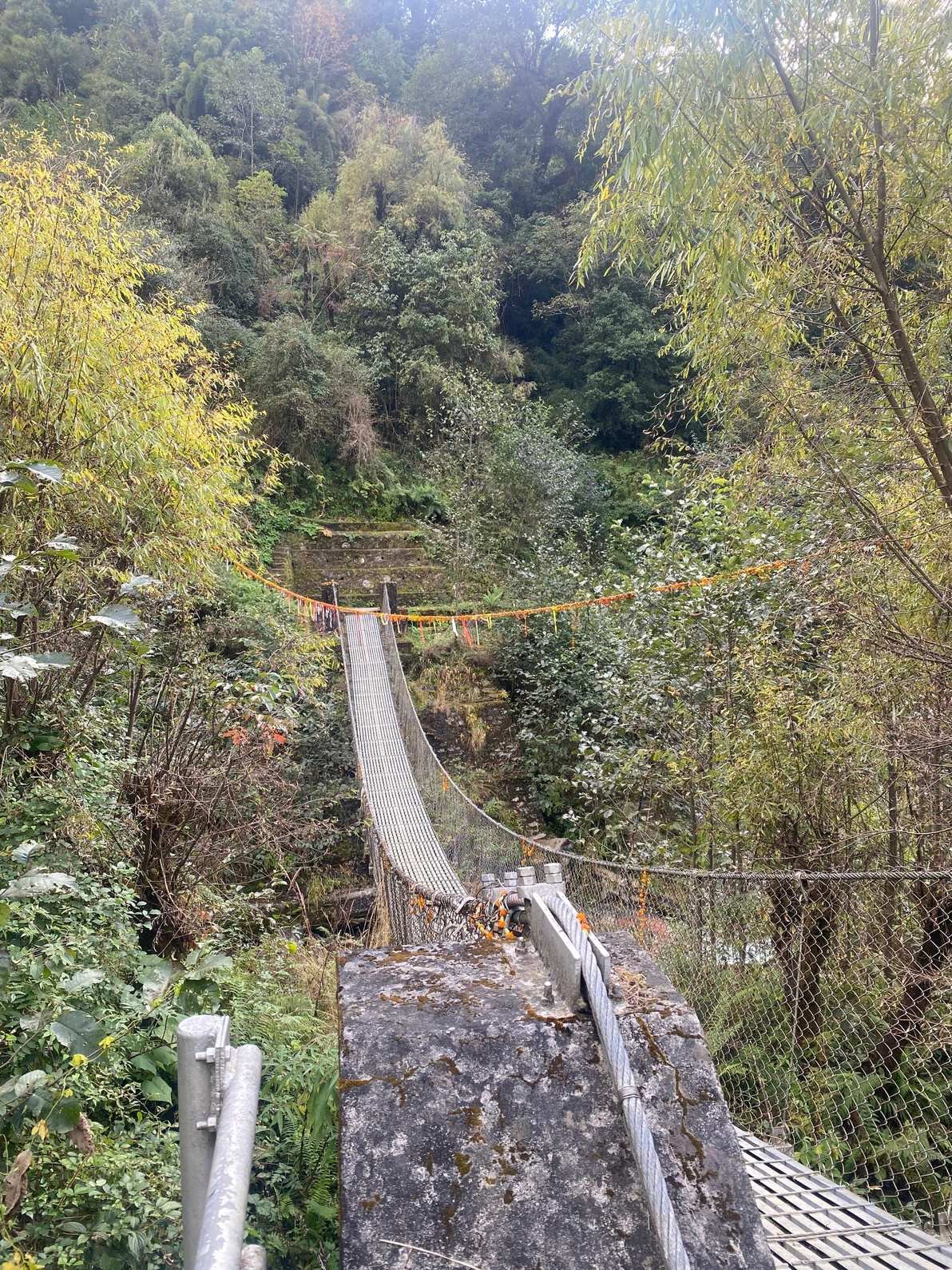
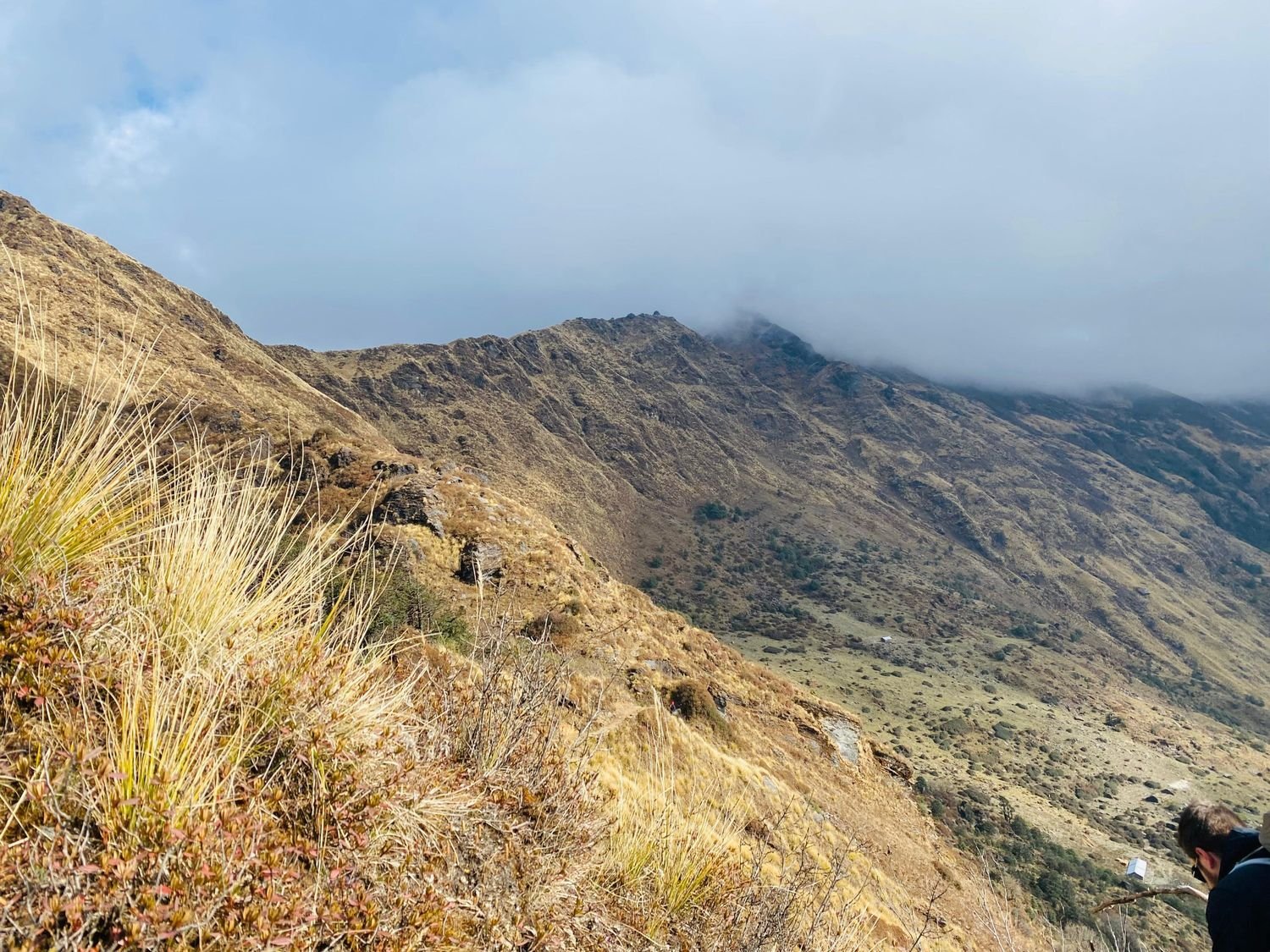
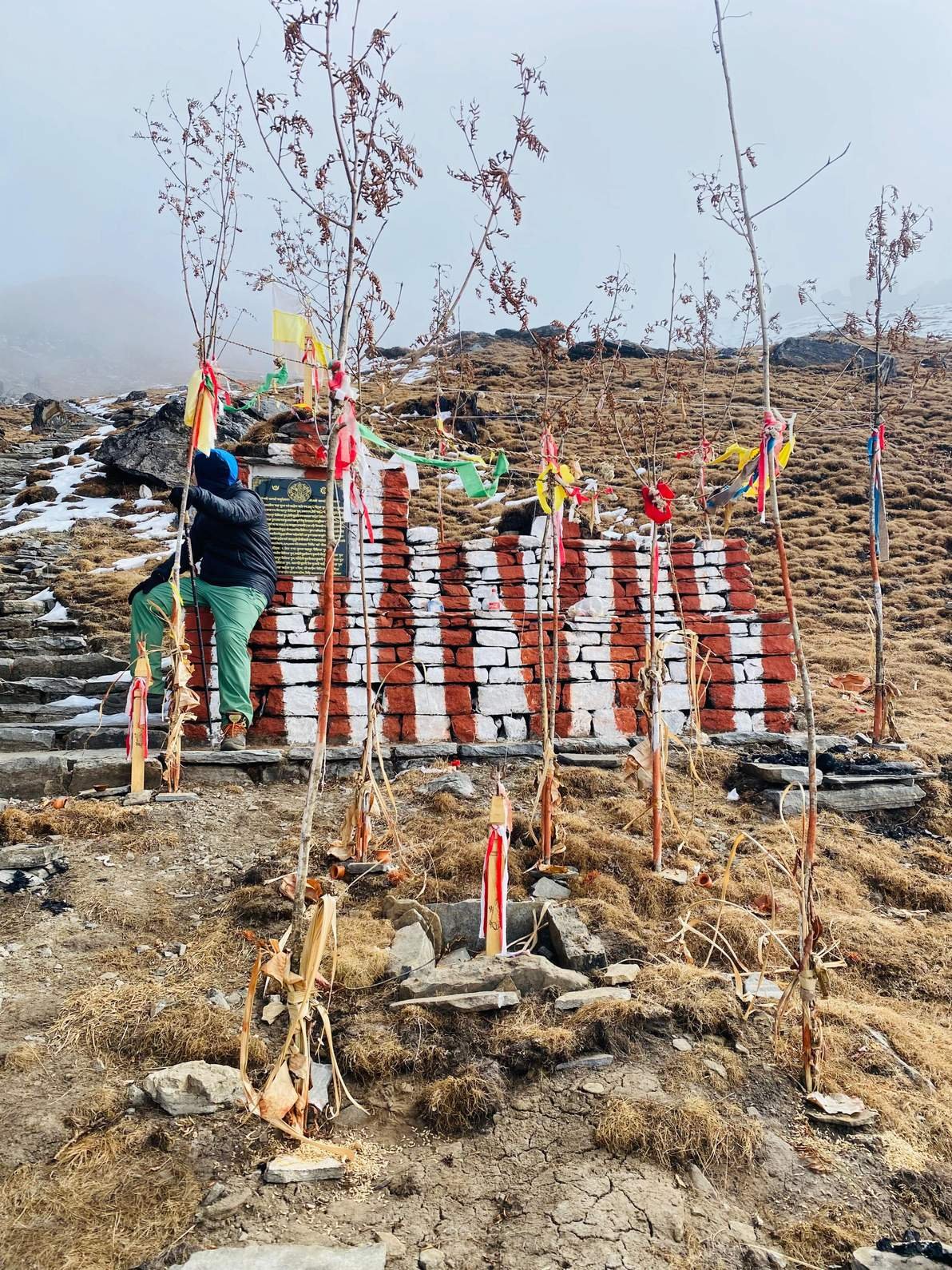
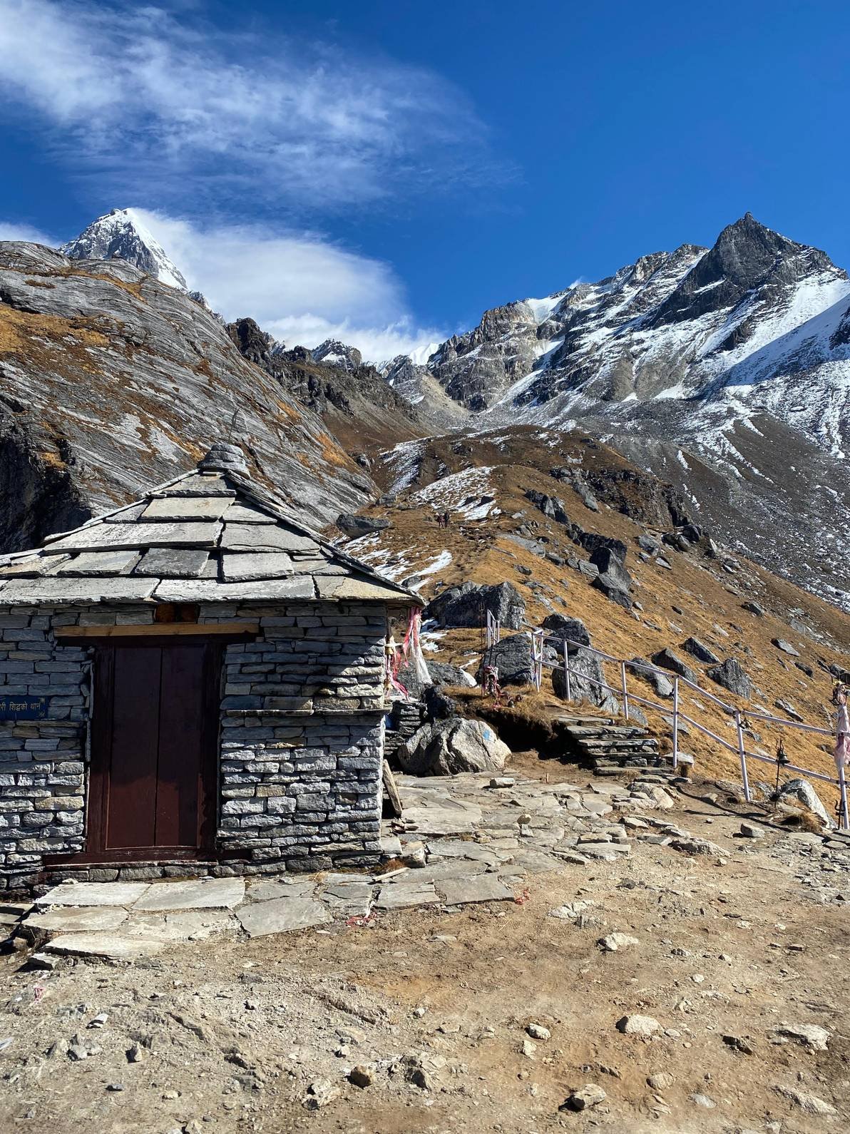
Route Map for Khopra Danda Trek with Khayer Lake – 12 Days
Frequently Asked Questions
It is a scenic Annapurna trekking route that takes you through villages, forest, and high ridges with excellent mountain views and fewer crowds than the main trails.
No. It is optional. Trekkers who do not want to go can stay at Khopra Ridge and continue the route the next day, or customize the trek accordingly.
Yes, and clearly. From Dobato, Muldai, and Khopra Ridge, Dhaulagiri at 8,167 metres is a dominant presence on the northwest horizon. This is one of the main reasons experienced trekkers choose this route over ABC, where Dhaulagiri is not visible.
It is rated moderate to challenging. Daily walking runs five to eight hours with some genuinely steep sections, particularly the approach to Muldai and the climb to Khopra Ridge. No technical skills are needed but consistent fitness and comfort with long consecutive days on mountain terrain are both important.
The Annapurna Conservation Area Permit covers this entire route and is arranged by Nepal Royal Treks as part of the package. No separate TIMS card is needed under current regulations. Your guide manages all permit documentation throughout the trek.
Lodges in the lower villages like Ghandruk and Ghorepani are comfortable and well-run. Above 3,000 metres at Dobato, Chistibung, and Khopra Ridge they become smaller and more basic. All provide beds, blankets, and cooked meals. Bring a sleeping bag rated to 0°C or below for the higher stops.
Yes. On Day 11 the group wakes before dawn in Ghorepani and hikes forty-five minutes to Poon Hill at 3,210 metres for the famous sunrise over Annapurna and Dhaulagiri. It is the final trekking highlight before the long descent to Nayapul and the drive back to Pokhara.
Tell your guide immediately and do not continue ascending. Common warning signs above 3,000 metres are persistent headache, nausea, and unusual fatigue. Your guide is trained to assess the situation and will arrange rest or descent as needed. Travel insurance covering helicopter evacuation is mandatory and must be arranged before departure.
Yes easily. Most trekkers add one or two nights in Pokhara after the trek for rest, optional paragliding, or a lake day. The route can also be extended by linking into the Annapurna Base Camp trail if time allows.
We stay in simple teahouses/guesthouses along the route. Rooms typically have twin beds with blankets and a shared bathroom. The higher you go, the more basic the lodging becomes (e.g. limited hot showers after Tadapani, smaller dining halls). Meals are cooked on site; menus include Nepali staples like dal-bhat (lentil-rice with vegetables), noodle soups, pancakes, and momo. We take care to book the best available accommodations at each stop. Weather can be harsh above 3,000 m, but our final lodge at Khopra Ridge has a common dining area with view, and blankets are provided.
Coverage is very limited. Mobile signal may appear at lower villages but disappears above 3,000 m. Don’t rely on internet or phones above Tadapani. A few lodges (in Ghandruk, Tadapani, Ghorepani) might offer Wi-Fi for a small fee, but speeds are slow. We always maintain communication by bringing a satellite phone or local SIM for emergencies.
You may also like
Menu