


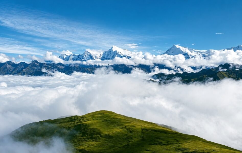
Dhorpatan Trek and Hunting Reserve Experience: Nepal’s Quiet Western Wilderness
Most trekkers who come to Nepal spend their time on four or five well worn corridors. Everest, Annapurna, Langtang, Manaslu. The infrastructure is reliable and the mountains are extraordinary.
But in western Nepal, below the Dhaulagiri Himal and across a wide section of Baglung, Myagdi, and Rukum districts, sits a region that barely registers on most trekking itineraries despite being one of protected area in the country.
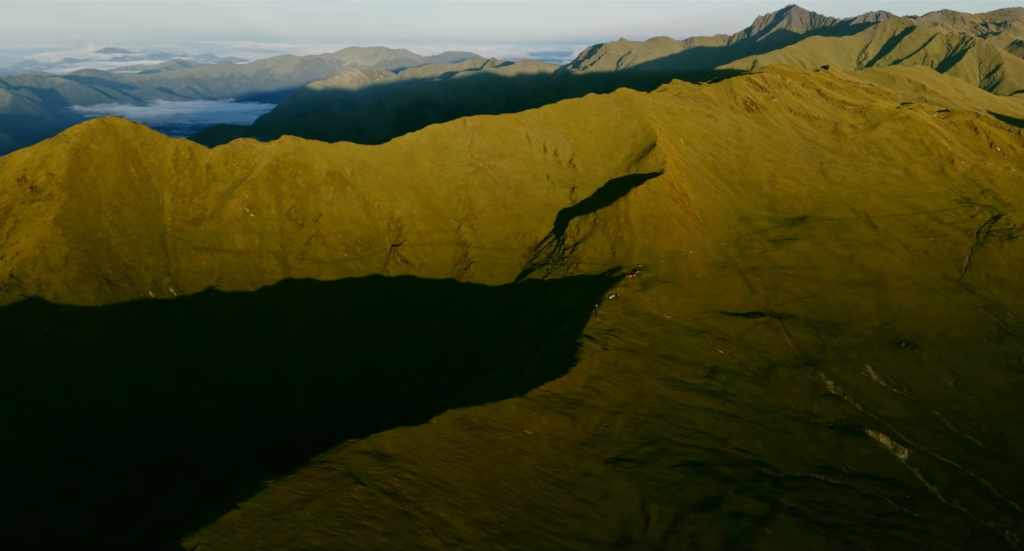
Dhorpatan is Nepal’s only legal hunting reserve. It is also one of the least visited trekking destinations in the country, and the trail that crosses it is one of the most genuinely remote walks in Nepal.
What Dhorpatan Actually Is
The name comes from two words. Dhor means meadow and Patan means flat open land, which is an accurate if understated description of what you find in the upper valley.
The reserve covers 1,325 square kilometres across three districts, with altitude ranging from around 2,850 metres at the valley floor to well above 7,000 metres along the northern boundary where Putha Hiunchuli, Churen Himal, and Gurja Himal form an almost unbroken wall of glaciated peaks.
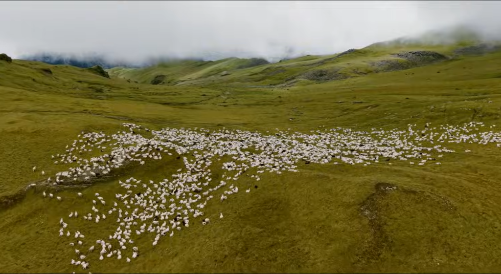
The flat alpine grasslands above 4,000 metres, known locally as patan, are the ecological heart of the reserve and the part of the landscape that defines the upper days of the trek.
The valley holds an unusual cultural mix. Around 300 Tibetan refugees settled in the Dhorpatan basin after 1959 and their community has remained, creating a layered social landscape alongside the Magar and Gurung farming communities of the lower hills.
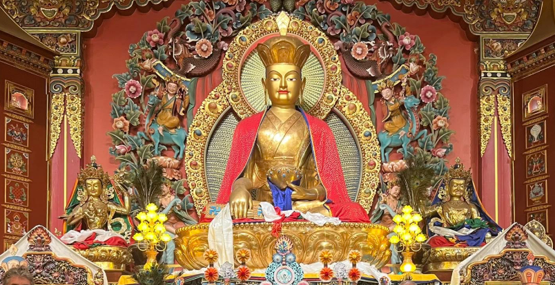
The Bonpo Monastery in the valley teaches Bon religion and traditional Tibetan herbal medicine.
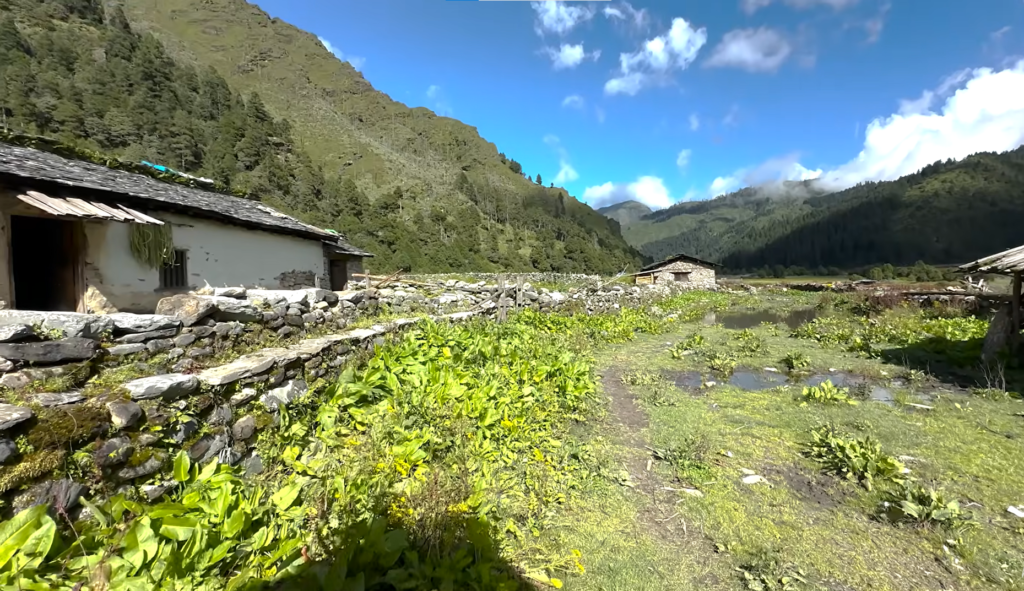
Walking through the Dhorpatan valley feels different from the more visited regions of Nepal because the communities here have never reorganised themselves around trekking tourism.
The Trek: Two Different Experiences on the Same Route
The Dhorpatan Trek has a natural split that most route descriptions do not capture well.
The first three to four days are a walk through living western Nepal, terraced farmland, suspension bridges over river gorges, and forest that shifts from subtropical oak to rhododendron to fir as the trail climbs.
The communities along this section are Magar and Gurung farming villages that see a fraction of the foot traffic the Annapurna corridors carry.
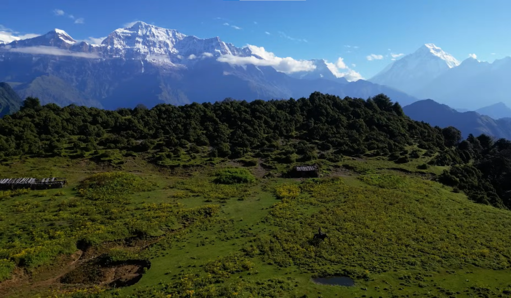
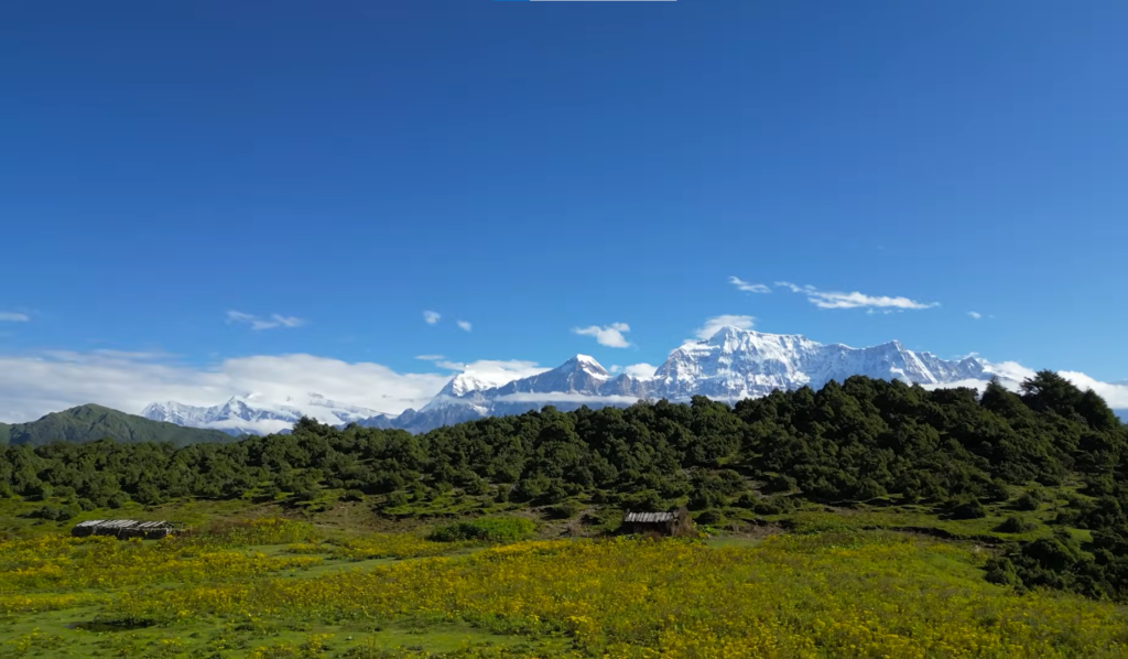
After Jaljala ridge at 3,430 metres, the trail opens into something entirely different, vast alpine patan grasslands, the Dhaulagiri massif close enough to feel architectural rather than distant, and a landscape that stretches out in a way that feels almost Central Asian in its scale.
Understanding the trek as two distinct sections, the lower approach through inhabited hill country, and the upper traverse through the reserve itself, sets realistic expectations and helps with planning.
The First Three Days: Getting Into It
Beni at 899 metres is where most treks start after the road journey from Pokhara, a two to three hour drive on a reasonably good road.
Beni is a trading town on the Kali Gandaki River and the last reliable supply point before the route heads west and climbs.
From Darbang, where jeep tracks allow vehicles to push further before the walking begins, the trail starts properly with a walk toward Dharapani through cultivated slopes and small settlements.
The early days have a particular character. Paths are wider, villages more frequent, and the walking feels like an immersion in western Nepali hill life rather than a mountain approach.
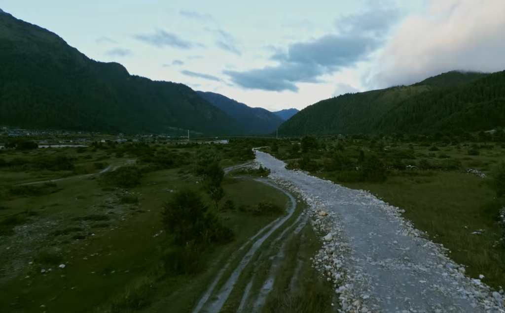
There is a quality to this part of Nepal that the more touristified trekking regions no longer quite have as people farming genuinely steep land, tea shops that operate for local use rather than trekking groups, trails that have been walked for generations and show it in the way they follow the landscape rather than cut through it.
The suspension bridges on the approach cross river gorges that drop sharply away below your feet and the views downstream on a clear morning are reason enough to stop.
The forest above Dharapani shifts character as the altitude increases, moving from lower subtropical woodland into larger rhododendron and oak trees.
Lamsung at 2,160 metres marks the end of the second full walking day and has basic guesthouse accommodation.
Above Lamsung the forest gets quieter, the trees taller, and the sense of moving away from inhabited Nepal more pronounced with each hour.
Jaljala Ridge: Where Everything Changes
The day from Lamsung up to Jaljala at 3,430 metres is the turning point of the whole route and one of the most underappreciated walking days in western Nepal.
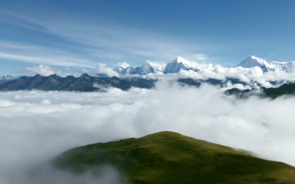
The trail climbs steadily through dense forest before breaking onto an open ridge that delivers a panoramic mountain view that almost nobody who has not walked here knows exists.
Dhaulagiri at 8,167 metres fills the northern horizon. Gurja Himal at 7,193 metres sits to the northwest. Churen Himal at 7,385 metres and Putha Hiunchuli at 7,246 metres complete the frame.
More than twelve high peaks are visible simultaneously from this ridge. In spring the entire approach through the upper forest runs through rhododendron in full bloom, which turns what would already be a strong walking day into something closer to the Poon Hill experience but without another trekking group anywhere in sight.
The Jaljala ridge also carries a different kind of silence from the lower trail. No tea house sounds, no porter conversations from a nearby group, no distant generator hum from a lodge.
The wind across the open ridge, the peaks in front of you, and the enormous valley dropping away to the south are the whole experience.
For trekkers who have walked the busy Annapurna circuits, this is the moment where Dhorpatan’s character makes itself felt most clearly.
Into the Dhorpatan Valley
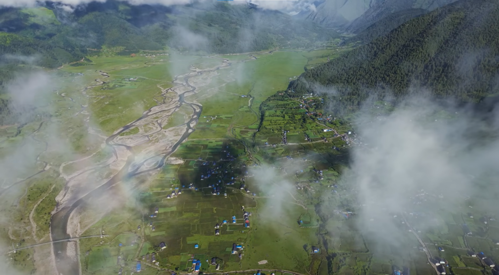
The descent from Jaljala into the Dhorpatan valley at 2,860 metres is a long day, but it ends somewhere that takes a moment to process.
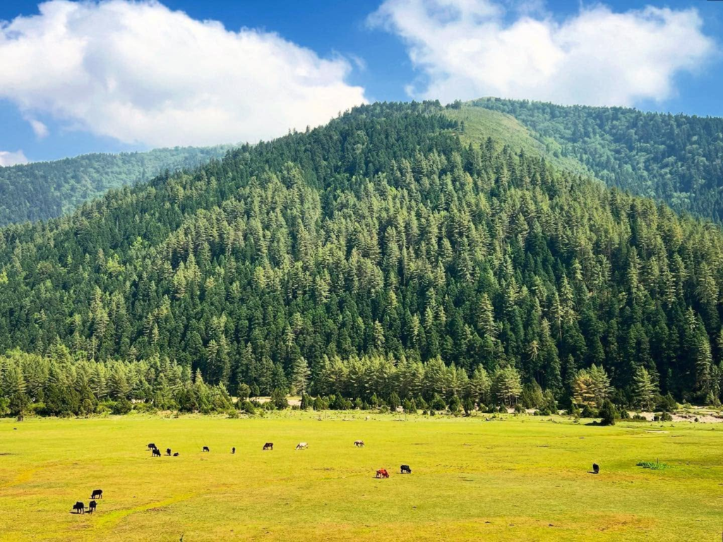
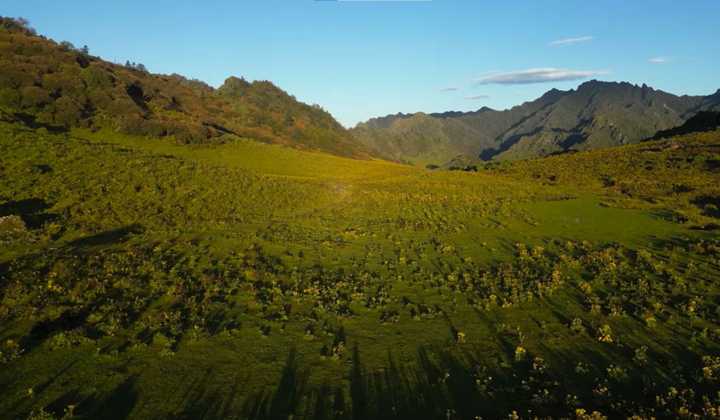
The valley opens wide. The patan grasslands stretch out with a scale that feels enormous after several days of enclosed forest walking.
Yak herds graze in the middle distance. The river running through the valley floor has the cold, clear colour of glacial meltwater.
Dhorpatan village carries the Tibetan community’s influence visibly. Prayer flags, the structure of the monastery, the faces and language of the residents all reflect a culture maintained carefully across generations.
Building a rest day into the itinerary here rather than treating it as a transit point makes a real difference to the trip.
The Bonpo Monastery is worth an hour and gives you enough context about the Bon tradition to make the cultural texture of the valley legible.
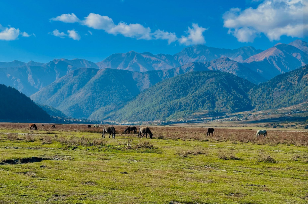
There is also the matter of horses. Dhorpatan is one of the few trekking destinations in Nepal where riding through the valley floor is a genuinely viable and enjoyable option.
Local horses are available to hire and riding out across the open patan, following the river through the grassland, is an experience that feels specific to this place in a way that is hard to replicate anywhere else on Nepal’s main trekking corridors.
Upper Reserve and Phagune Dhuri
From Dhorpatan the trail climbs toward Phagune Phedi at 3,850 metres and the Phagune Dhuri pass at 4,493 metres, the highest point of the standard route.
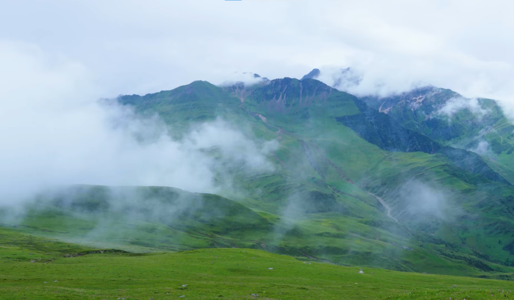
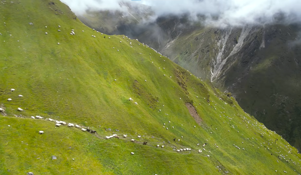
This is where the trek shifts into its final and most remote register. The vegetation above the tree line gives way to open alpine meadow and the landscape takes on the stark, wide-open quality that defines the high Himalayan zones.
Blue sheep are common at these altitudes and sightings along the higher trail sections are regular rather than exceptional, particularly in the early morning hours when the herds move to lower grazing areas.
Himalayan tahr favour the steeper rock faces above and require binoculars and patience, but they are present and visible to anyone who stops and looks carefully at the ridgelines.
Snow leopard sightings are rare by the nature of the animal, but this is one of the more credible places in Nepal to hope for one.
The Phagune Dhuri crossing is a full day from Phagune Phedi camp and the views from the pass rival the Jaljala ridge, at higher and colder elevation.
On a clear day the Dhaulagiri circuit sits to the north at its most imposing and the route south back toward Darbang shows itself as a series of descending ridges and valleys stretching toward the warmer lowlands.
Standing there with the pass wind against you and the full reserve spread out in both directions is the moment the Dhorpatan Trek builds toward across its entire length.
Trek Itinerary
| Day | Route | Altitude | Overnight |
|---|---|---|---|
| 1 | Drive Kathmandu or Pokhara to Beni | 899 m | Lodge, Beni |
| 2 | Drive to Darbang, trek to Dharapani | 1,859 m | Tented camp |
| 3 | Dharapani to Lamsung | 2,160 m | Guesthouse or camp |
| 4 | Lamsung to Jaljala ridge | 3,430 m | Tented camp |
| 5 | Jaljala to Dhorpatan village | 2,860 m | Lodge or camp |
| 6 | Rest day, Dhorpatan valley exploration | 2,860 m | Lodge or camp |
| 7 | Dhorpatan to Phagune Phedi | 3,850 m | Tented camp |
| 8 | Hike to Phagune Dhuri pass, return to camp | 4,493 m | Tented camp |
| 9 | Return toward Dhorpatan or alternate exit | 2,860 m | Camp |
| 10 | Trek toward Lamsung | 3,430 m | Tented camp |
| 11 | Lamsung to Darbang | 1,859 m | Tented camp |
| 12 | Drive Darbang to Beni and Pokhara | 800 m | Pokhara |
Camping and Accommodation Reality
This is a camping trek in all but the first and last road days and the Dhorpatan valley section. Above Lamsung and through the reserve, guesthouses either do not exist or are too basic to plan around.
Any group doing the Dhorpatan Trek needs a complete camping setup, tents, a kitchen shelter, cooking gear, and enough porters to carry it consistently.
This is not a route where you improvise accommodation above the tree line.
Nights at the Phagune Phedi camp and the upper reserve sites get genuinely cold even during October and March, dropping well below freezing before dawn.
A sleeping bag rated to minus fifteen degrees Celsius is not excessive for this route.
The upper sections are exposed to wind and the morning cold before sun reaches the camp catches people off guard if they packed for milder conditions based on the season alone.
The Hunting Reserve: Context for Trekkers
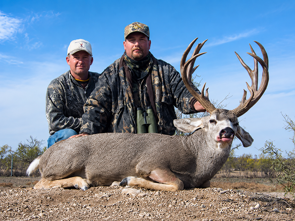
Dhorpatan was formally established as a hunting reserve in 1987 and it is the only place in Nepal where licensed trophy hunting is legal.
The system is tightly managed by the Department of National Parks and Wildlife Conservation through a competitive annual auction, with species quotas set by conservation monitoring.
Only old male animals may be legally taken and killing females or juveniles of any species is prohibited without exception.
The conservation logic is worth stating plainly because it is often misunderstood.
The revenue from hunting permits, a Blue Sheep permit alone runs between $15,000 and $25,000 USD, with a full fifteen-day hunting trip totalling $30,000 to $50,000 USD, funds the rangers and military presence that protect the reserve’s most endangered species from illegal poaching.
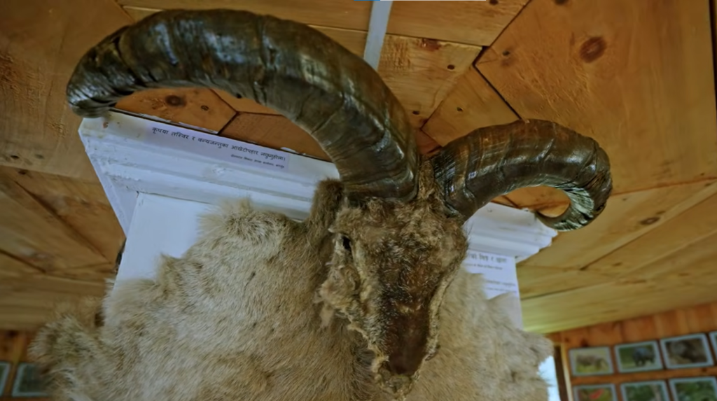
Musk deer, snow leopard, and red panda all have meaningful protection inside Dhorpatan precisely because the hunting revenue pays for it.
The animals you cannot hunt are the ones the system is specifically designed to protect.
Permitted and Protected Species
| Species | Status |
|---|---|
| Himalayan Blue Sheep (Naur) | Permitted under licence, annual quota |
| Himalayan Tahr (Jharal) | Permitted under licence, annual quota |
| Wild Boar | Permitted under licence |
| Snow Leopard | Fully protected |
| Red Panda | Fully protected, endangered |
| Musk Deer | Fully protected, endangered |
| Danphe, Himalayan Monal | Fully protected, Nepal’s national bird |
| Cheer Pheasant | Fully protected, endangered |
| Any female or juvenile | Prohibited without exception |
Entry Fees for Trekkers
| Visitor Category | Fee |
|---|---|
| Foreign nationals | Rs. 3,000 (approximately $20 USD) |
| SAARC nationals | Rs. 1,500 |
| Nepali nationals | Rs. 100 |
The ACAP permit for the approach sections costs Rs. 3000 for foreign nationals and is required alongside the reserve entry permit.
What to Pack
| Item | Notes |
|---|---|
| Sleeping bag | Rated to -15°C minimum for upper camp nights |
| Trekking poles | Essential on the Jaljala and Phagune Dhuri ascents |
| Waterproof shell jacket | Upper sections are exposed, afternoon wind is reliable |
| Thermal base layers | Nights at Phagune Phedi are seriously cold |
| Sun protection | Alpine sun above tree line is considerably stronger than it looks |
| Waterproof trekking boots | Ankle support required, wet crossings likely |
| Water purification | No consistent clean water source in the upper reserve |
| Binoculars | Blue sheep and tahr viewing is significantly better with them |
| First aid kit | Nearest medical facility is a long way from the upper reserve |
| Cash in small notes | No ATM access after Beni |
Who This Trek Suits
Dhorpatan is a moderate trek that rewards trekkers who have completed at least one previous multi-day Nepal route and are comfortable with camping conditions.
It is not technically difficult but it is remote, trails in the reserve are inconsistently marked, and the absence of tea house infrastructure in the upper sections means the margin for error if you are underprepared is smaller than on the main corridors.
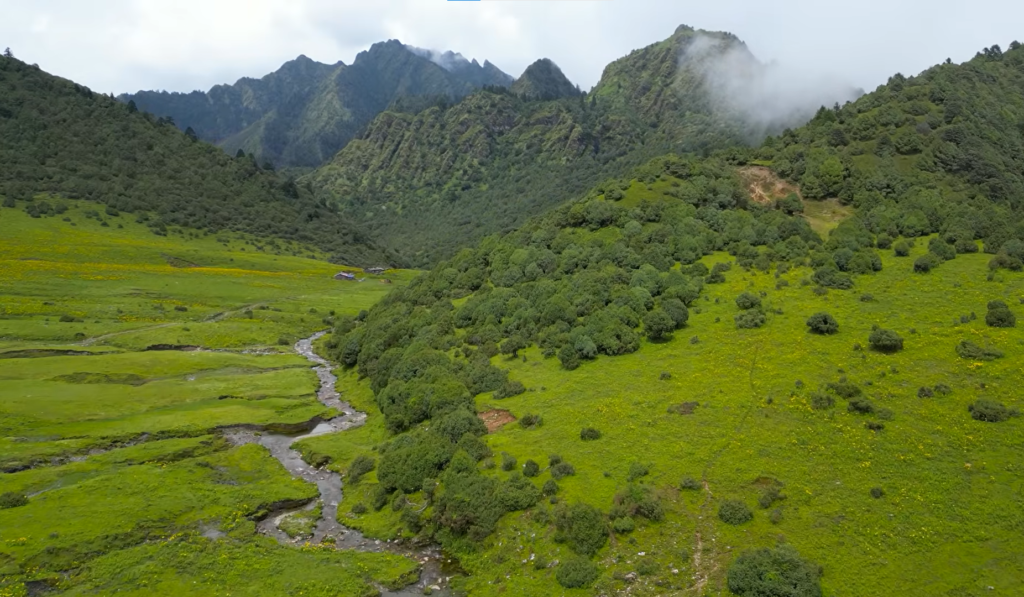
The trek suits trekkers who prioritise solitude and genuine wilderness over comfort. It suits anyone who wants to combine Himalayan walking with an unusual conservation and cultural context that exists nowhere else in Nepal.
Photographers looking for mountain landscapes without crowds, birders after pheasant species and high-altitude birds, and trekkers who have done the main routes and want a stretch of trail that feels fundamentally different will all find what they are looking for here.
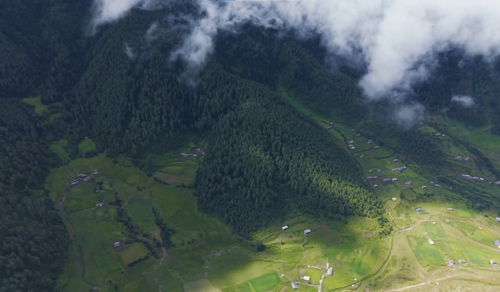
It also connects naturally into a longer western Nepal journey toward Dolpo for groups with the time and experience to extend it. A guide is not optional on this route.
Trails through the reserve are not marked to the standard of the main corridors and a guide with genuine local knowledge of the reserve layout, the wildlife patterns, and the route variations through the upper patan adds considerably to both safety and the quality of what you actually experience on the ground.
When to Go
Spring and autumn are the two windows that reliably deliver on the Dhorpatan Trek, but they are not interchangeable and each has a distinct character worth understanding before you book.
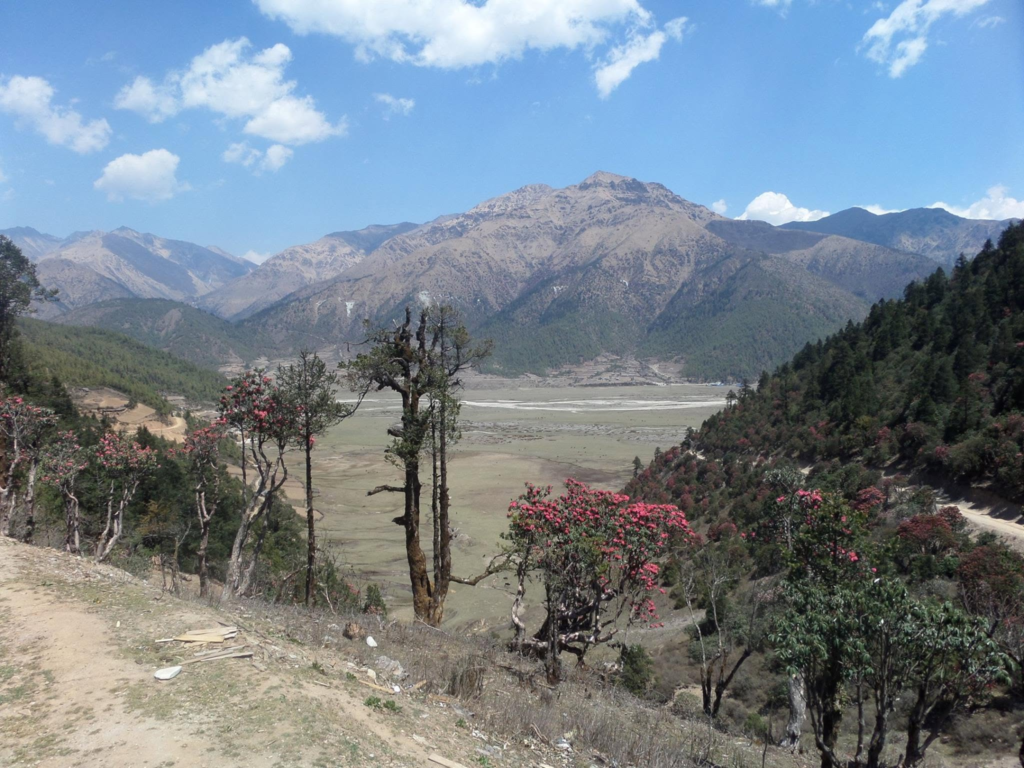
Spring from March through May is the season for the lower trail. The rhododendron forest between Lamsung and Jaljala is in full bloom across this period and walking through it on the ascent to the ridge is one of the more quietly extraordinary things the route offers.
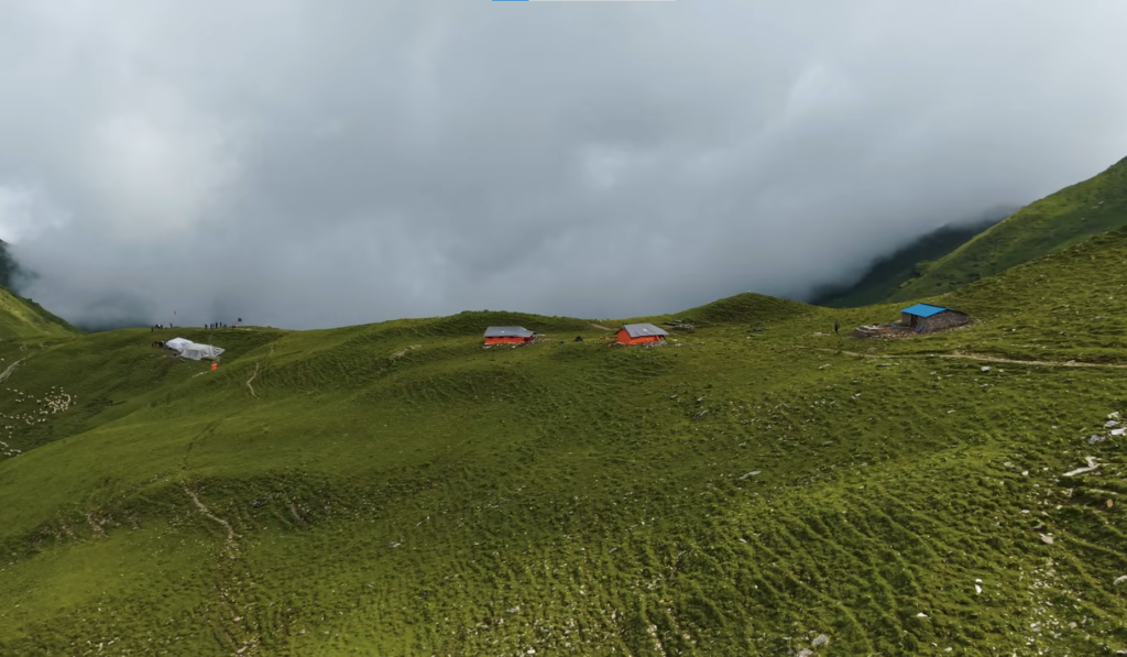
The wildflowers across the upper patan open as the snow retreats from the meadows and the whole reserve takes on a colour that the autumn season does not quite match. Weather is stable and views are consistently clear.
Autumn from October through November gives the sharpest mountain views of the year.
The air is dry and cold and the Dhaulagiri mountain from the Jaljala ridge in late October is at its most defined, the summit and the high ridges printed against the sky in a way that photographs almost cannot capture.
This window also coincides with the first hunting season, which runs from mid-September through mid-December, so trekkers in October and November may encounter licensed hunting groups moving through the designated blocks.
The reserve is large enough that this is incidental rather than intrusive, and the military and ranger presence that comes with the hunting season actually makes the upper reserve feel more monitored and safer for solo trekkers.
| Season | Conditions | Verdict |
|---|---|---|
| Spring, March to May | Rhododendrons blooming, wildflowers in upper meadows, stable weather | Strongly recommended |
| Monsoon, June to September | Slippery trails, leeches on lower sections, poor visibility | Not recommended |
| Autumn, October to November | Clearest mountain views of the year, dry firm trails | Strongly recommended |
| Winter, December to February | High passes snow-covered, extreme cold at camp | Experienced winter trekkers only |
Plan your Trip to Dhorpatan Soon!
Nepal has a way of becoming more itself the further you move from the main corridors. The trekking industry on the popular routes is extraordinary at what it does, but over the years it has also softened some of what made those mountains feel genuinely wild.
Dhorpatan has not been softened. The trails are communities are still the same. The blue sheep on the Phagune Dhuri skyline are still wild animals that do not know they are supposed to stop and wait for a photograph.
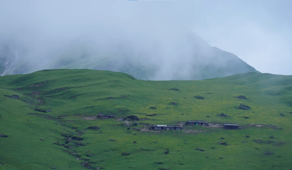
Standing at that pass with the full reserve below you and the Dhaulagiri wall above you and a silence that has no tea house in it, you get something that is increasingly hard to find in Nepal’s trekking landscape.
It is difficult to name but straightforward to remember. Most people who make the effort to get there will tell you it was worth considerably more than it cost.