-
 Duration
13 Days
Duration
13 Days
-
 Difficulty
Easy to Moderate
Difficulty
Easy to Moderate
-
 Max Elevation
4153m
Max Elevation
4153m
-
 Group Size
1 to 10 People Person
Group Size
1 to 10 People Person
-
 Accommodation
Teahouse/Lodge
Accommodation
Teahouse/Lodge
-
 Start/End
Kathmandu Airport/Kathmandu
Start/End
Kathmandu Airport/Kathmandu
-
 Destination
Eastern Nepal
Destination
Eastern Nepal
-
 Best Season
March-May and Sep-Nov
Best Season
March-May and Sep-Nov

The Mundum Trek is one of Nepal’s most rewarding cultural journeys, leading trekkers deep into the ancestral homeland of the Kirat Rai people in the eastern hills.
Everest and Annapurna regions have long claimed Nepal’s trekking spotlight, but the Mundum Heritage Trail offers something the famous routes cannot.
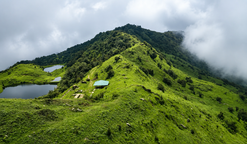
It is a landscape where Himalayan scenery, sacred pilgrimage sites, traditional Rai villages, and a living indigenous culture come together largely untouched by mass tourism.
For trekkers hoping to find a quieter, more genuine side of Nepal, few routes deliver it as completely as this one.
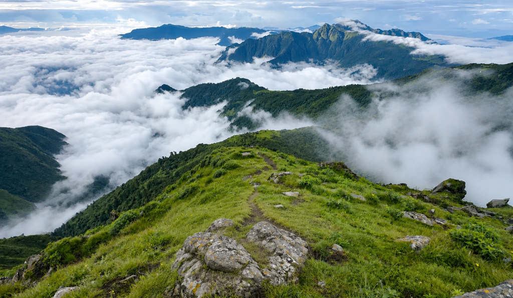
The trail takes its name from the Mundum, the ancient oral scripture of the Kirat people, and follows footpaths that connected villages, sacred lakes, and mountain ridges long before trekking existed as an industry in Nepal.
The Mundum is the spiritual foundation of Kirat life, carried forward through generations by priests known as Nakchhong or Mundhumi, who still perform traditional rituals along this route today.
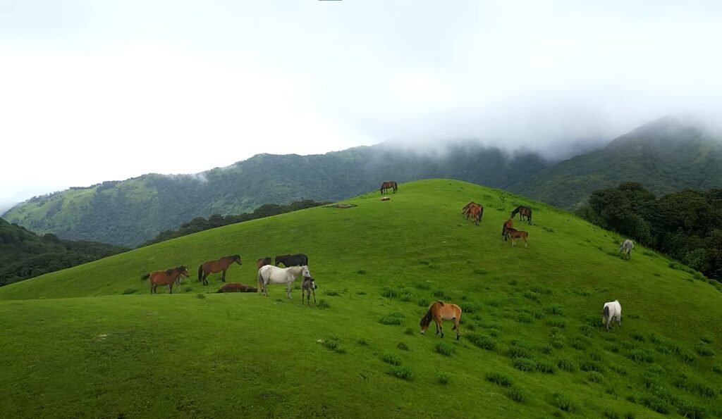
To walk the trail is not simply to collect viewpoints and cross passes. It is to move through a landscape where culture, nature, and spirituality have never really separated.
That sense of continuity is what sets the Mundum Trail apart from Nepal’s commercial trekking regions, where teahouses fill with international groups through the high seasons.
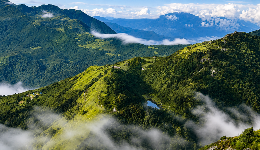
Here, villages carry on their routines regardless of who passes through. Local families open their homes as community lodges, and every overnight stop brings genuine contact with people who have lived in these hills for generations.
Rather than arriving at destinations built for visitors, trekkers become guests in communities where farming, livestock, festivals, and old rhythms of daily life continue much as they always have.
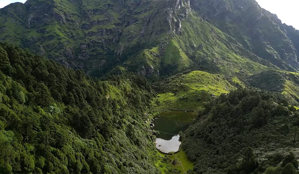
The journey opens in Kathmandu with a flight east to Tumlingtar, one of eastern Nepal’s small hill airports, followed by a scenic drive through green valleys and terraced hillsides to Bhojpur, the cultural heart of the Rai community.
Bhojpur rewards a proper look before the trek begins. The town is known across Nepal for its handcrafted Khukuri knives, forged by blacksmiths whose skill has been respected for generations.
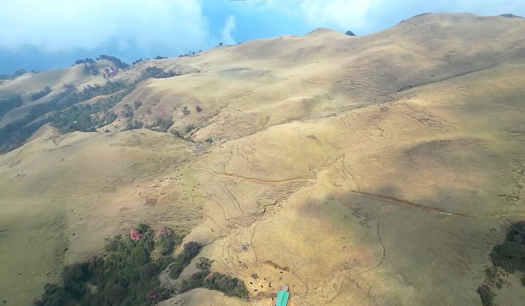
The trail remains one of eastern Nepal’s most important cultural centres, where Kirat tradition is still very much part of everyday life rather than something performed for visitors.
From Bhojpur, the trail settles into quiet countryside, winding along stone paths through terraced farmland, cardamom plantations, and Rai villages that see far more curiosity than crowds.
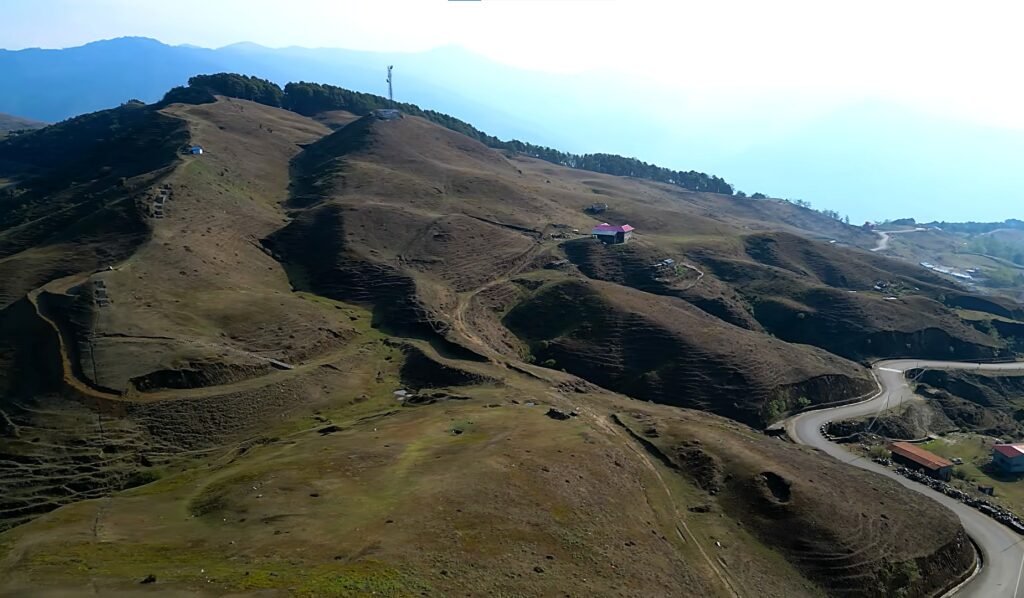
Locals greet passing trekkers with genuine interest, children walk the same paths to school, and farmers work fields their families have held for generations.
The pace here is unhurried by design, the Mundum Trek doesn’t rush toward its mountain views, and the rural rhythm of these early days ends up being just as memorable as anything that comes later.
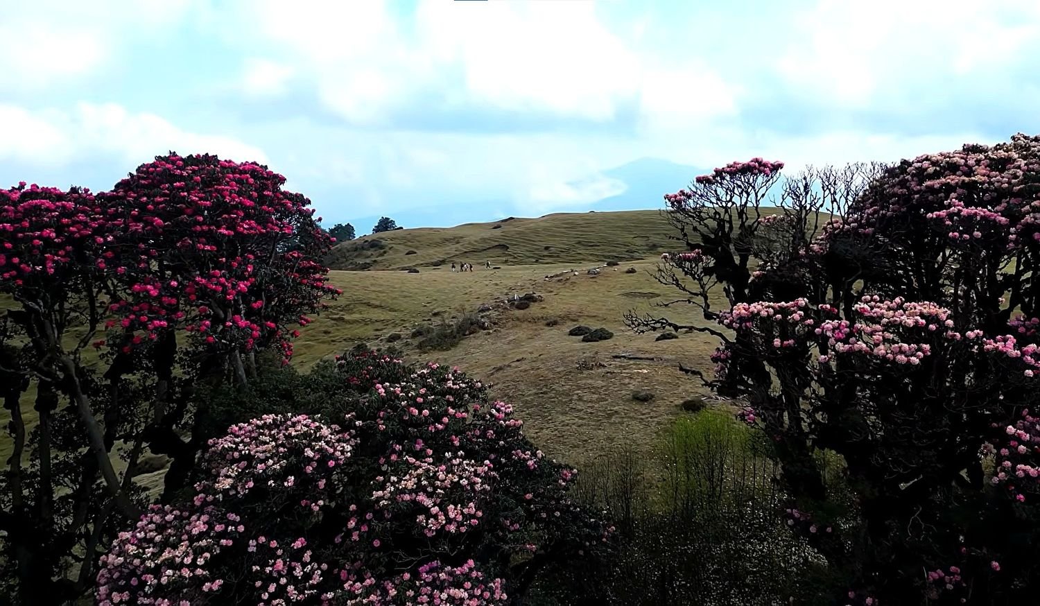
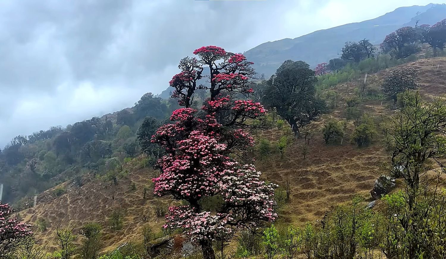
As the trail climbs, cultivated hillsides give way to forests of oak, pine, bamboo, and rhododendron.
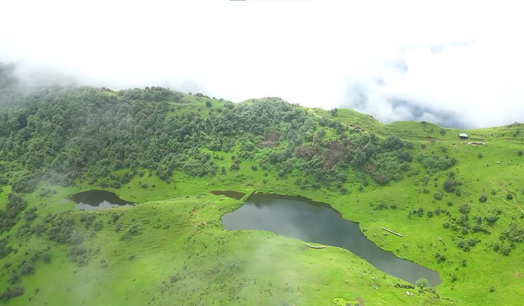
In spring, these forests turn into one of Nepal’s great natural spectacles, with entire hillsides painted red, pink, and white in bloom.
The woodland stretches are quiet apart from birdsong, and after the more heavily trafficked routes elsewhere in Nepal, the stillness is its own kind of relief.
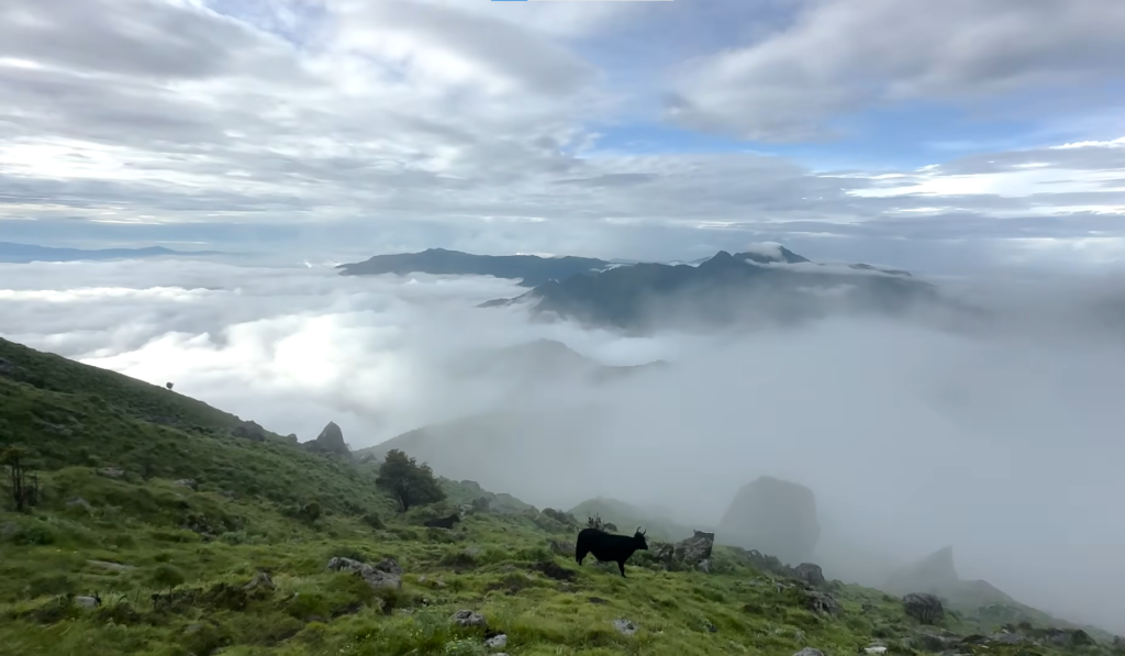
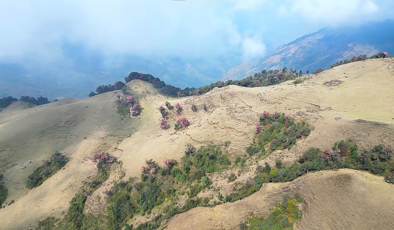
Beyond the forest, the trail opens onto broad alpine ridges where the first real Himalayan panoramas appear.
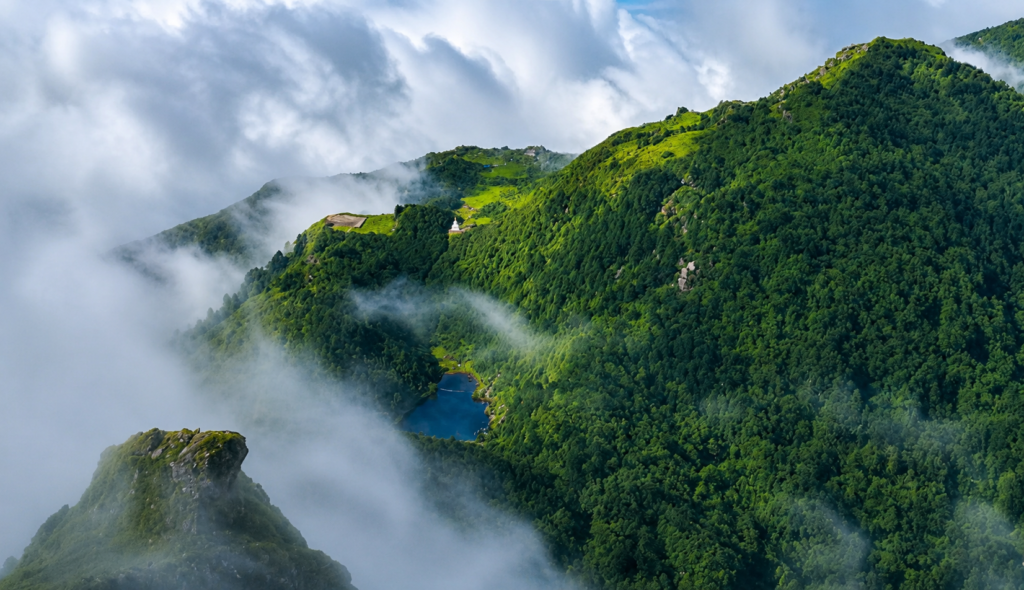
Eastern Nepal’s mountain views differ from the narrow valley perspectives of the Everest region, they’re wider, more expansive, taking in an entire chain rather than a single peak framed by a valley.
On a clear morning, the horizon fills with snow, Everest at 8,848.86 metres, Lhotse, Makalu, Chamlang, Kanchenjunga, and a string of lesser-known giants beside them.
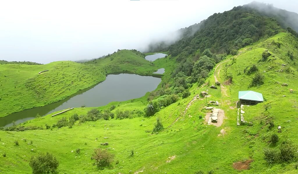
Watching sunrise move slowly across that wall of summits is one of the defining moments of the trek, and one that almost no international trekker ever gets to witness.
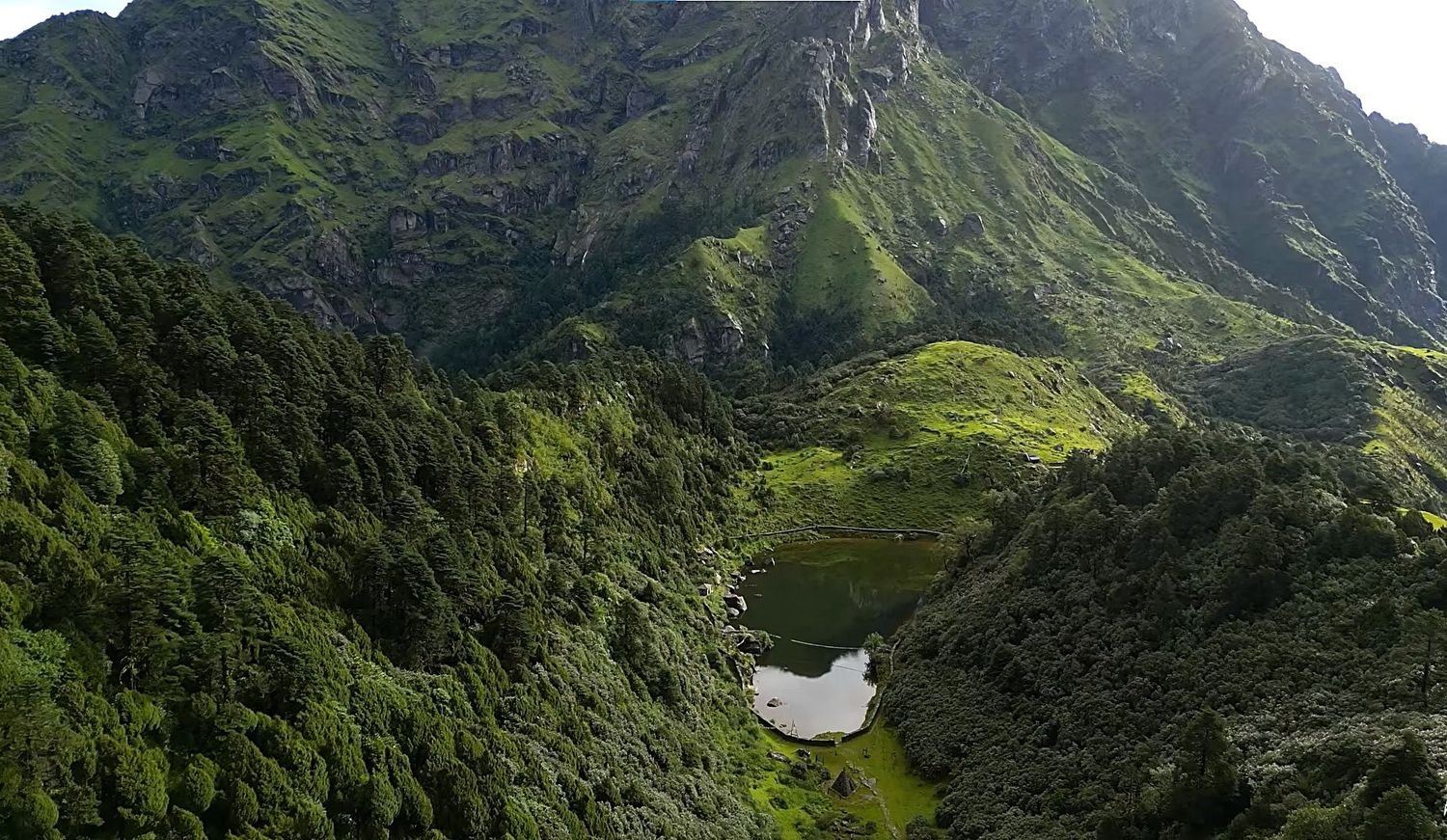
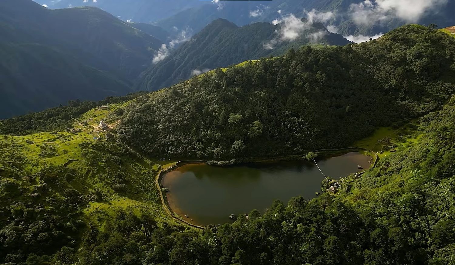
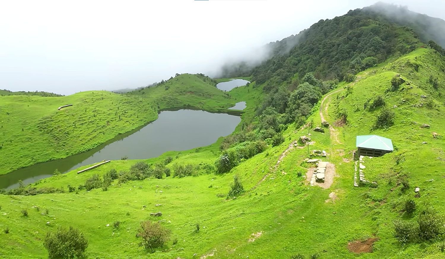
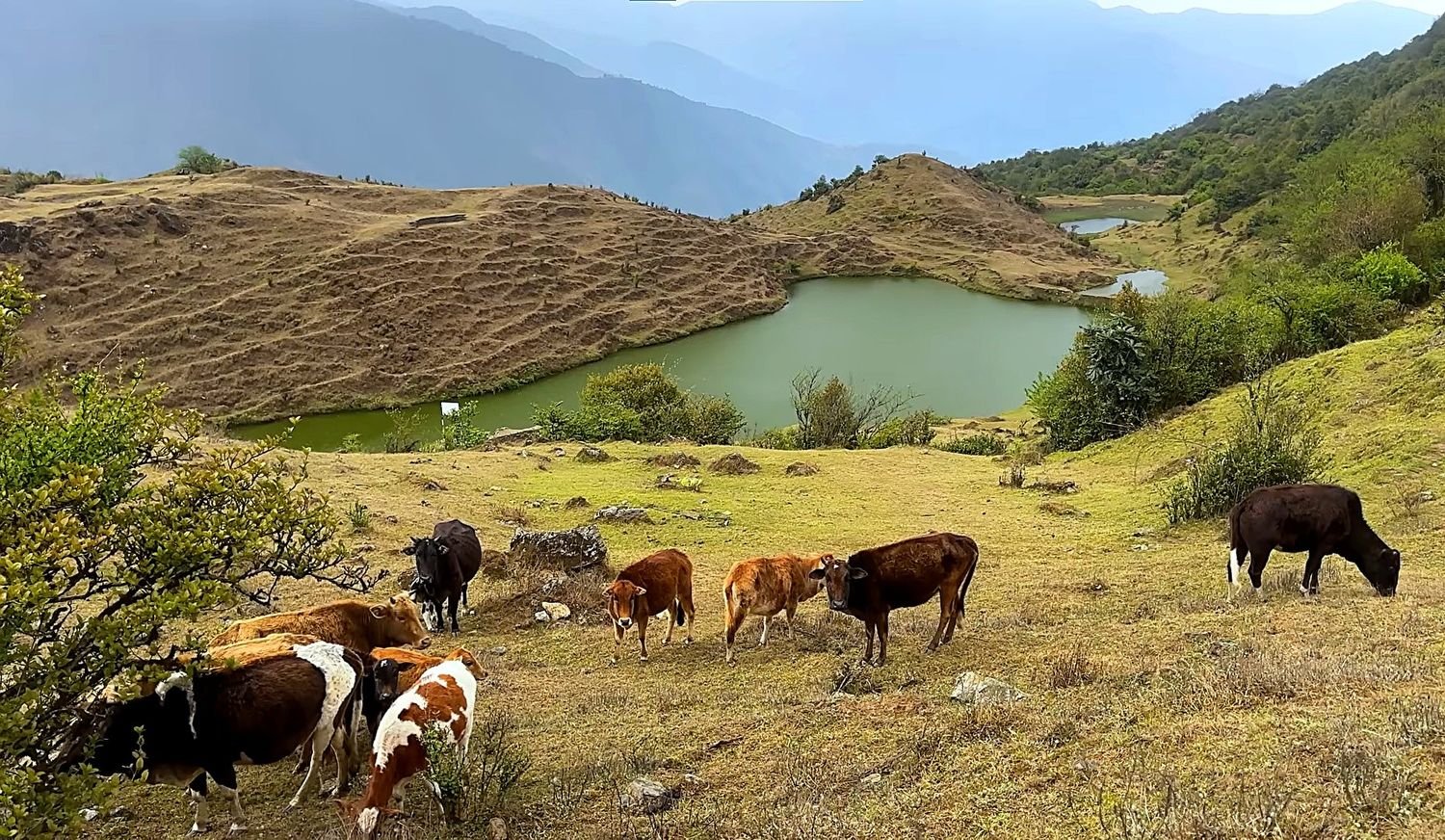
One of the most spiritually significant points on the trail is Salpa Pokhari, a sacred alpine lake sitting at roughly 3,440 metres. Ringed by forest and quiet ridgelines, the lake has been revered by both Kirat and Hindu communities for generations.
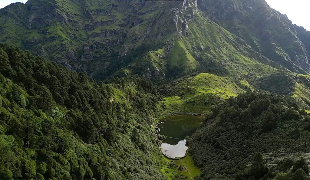
Pilgrims from Bhojpur, Sankhuwasabha, Khotang, Solukhumbu, and neighbouring districts still walk here on foot to offer prayers, and prayer flags and stone shrines along the shore reflect centuries of that devotion.
Whether you arrive during a festival, with the lake full of pilgrims, or on a quiet autumn morning with mist drifting across the water, Salpa Pokhari carries a stillness that stays with most people long after they’ve left it.
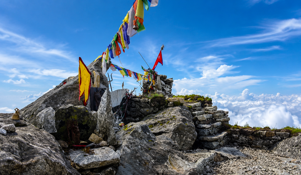
From the lake, the trail climbs above the treeline toward Silichung Peak, the highest point of the journey at 4,153 metres.
Silichung isn’t a mountaineering objective, there’s no technical climbing involved, but it is one of eastern Nepal’s finest viewpoints and an important site in Kirat spiritual tradition.
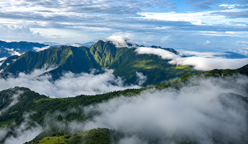
A pre-dawn climb from the high camp below delivers trekkers to the summit in time for sunrise, when the first light spreads across an immense sweep of the eastern Himalaya.
You can see Everest, Lhotse, Makalu, Chamlang, Baruntse, Gaurishankar, Kanchenjunga, and more, all visible at once from a summit that sees almost no foreign visitors.
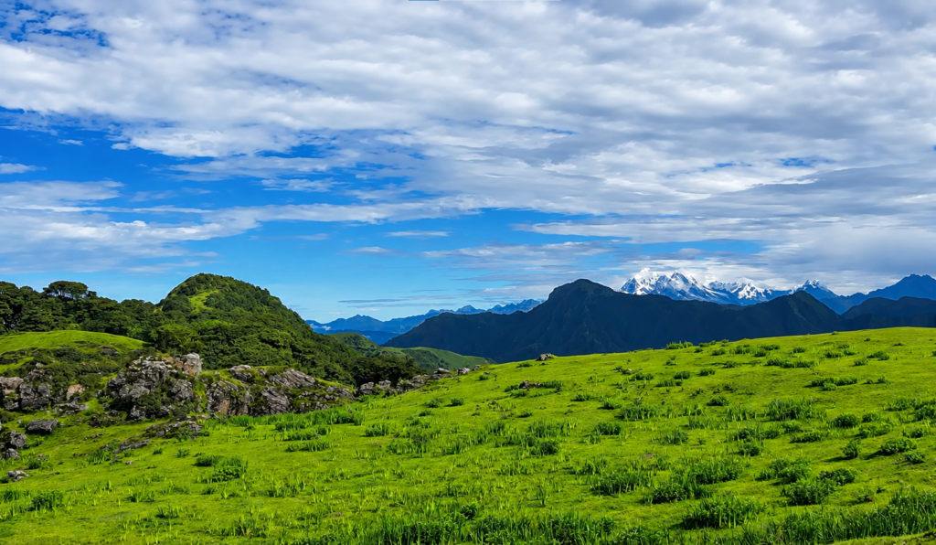
Standing there in the silence and cold, watching the peaks catch the light one by one, is the kind of moment that trekking in Nepal is supposed to deliver and rarely does with this little competition for the view.
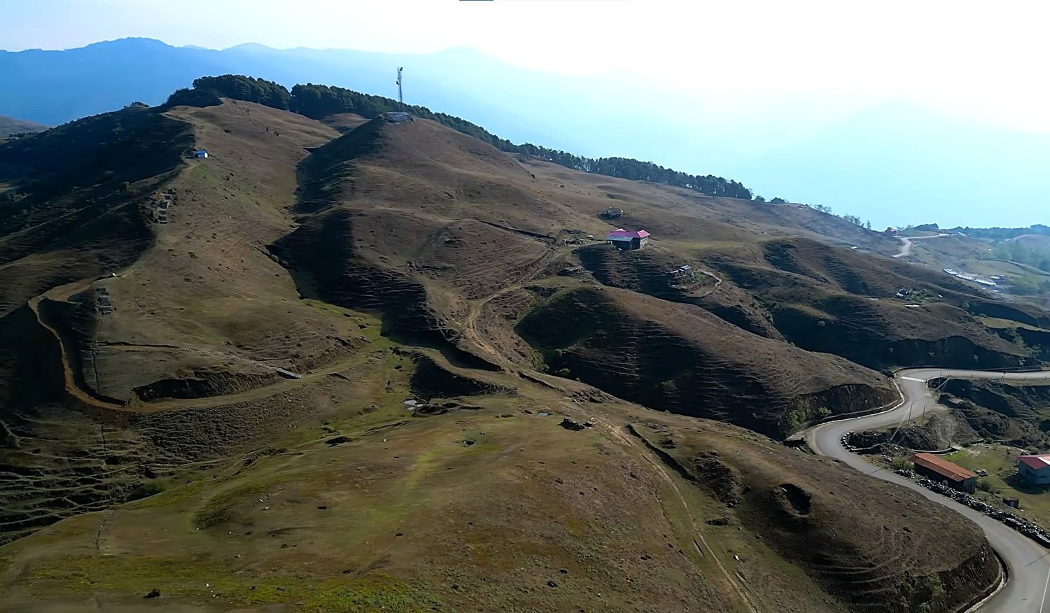
The trail continues across open ridgelines to Temke Danda, at 3,680 metres, another exceptional viewpoint but one that stays remarkably peaceful even by the standards of this route.
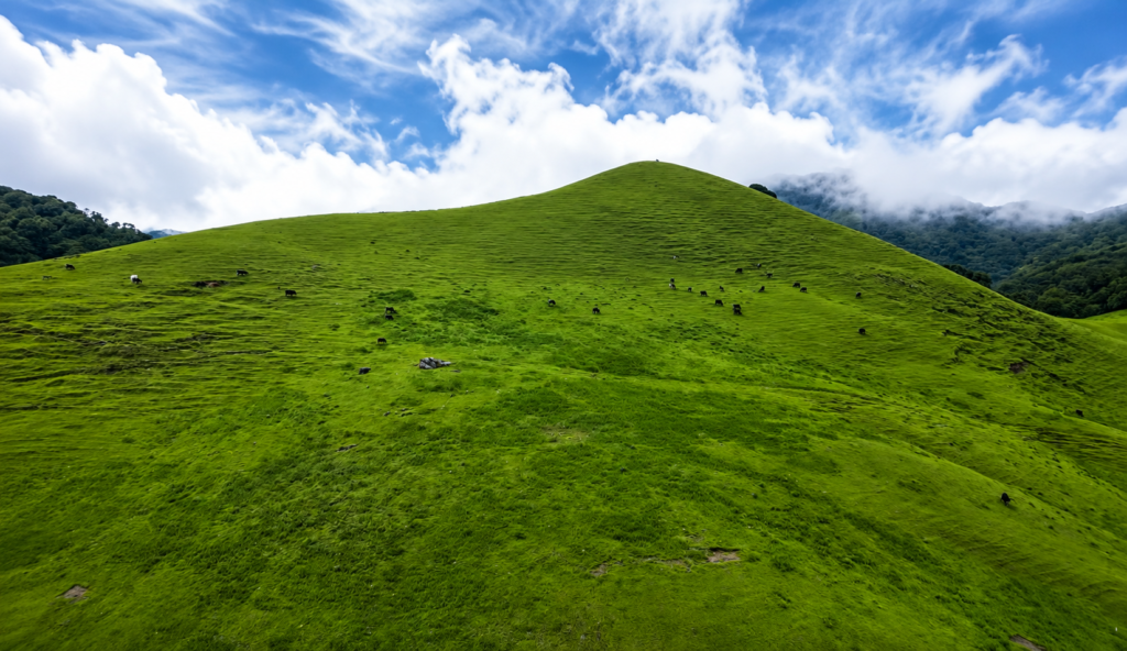
There’s no crowd jostling for sunrise photos here, no queue for a particular angle. You simply sit on the grass, breathe the thin mountain air, and look out at some of the highest peaks on earth without anyone else in the frame.
It’s a fitting rhythm for the whole trek, rather than sprinting between landmarks, the Mundum Trail asks you to slow down and actually be somewhere.
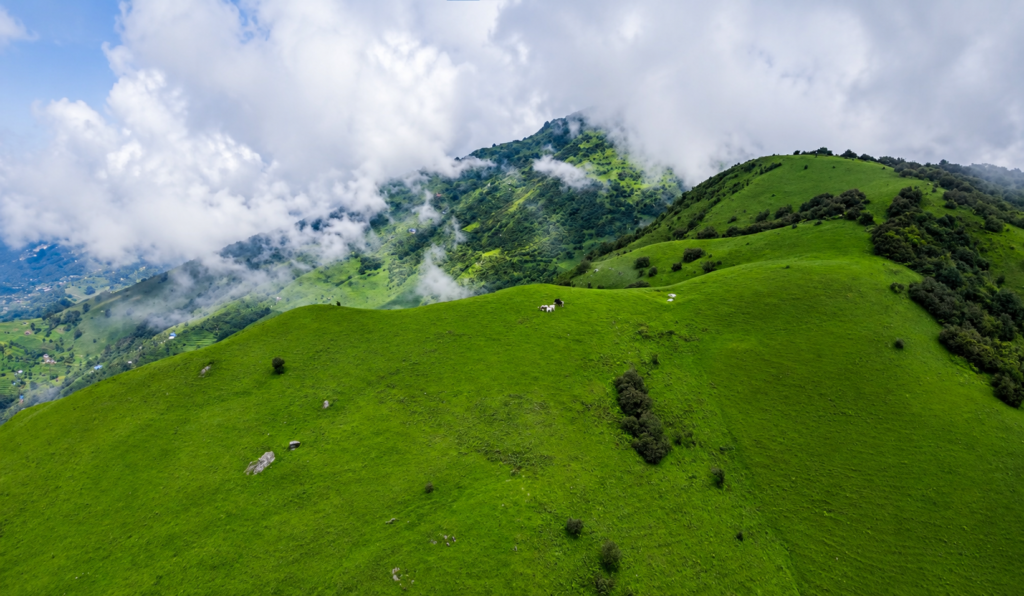
The trek’s appeal isn’t limited to its mountain views. Throughout the route, the trail passes through Rai villages where local language, custom, architecture, and festival life remain a genuine part of daily existence rather than a display staged for outsiders.
Stone houses, neatly terraced fields, traditional water mills, and community-run lodges offer an honest look into rural eastern Nepal, and conversations with the families who run these lodges often become the most memorable part of the trip.
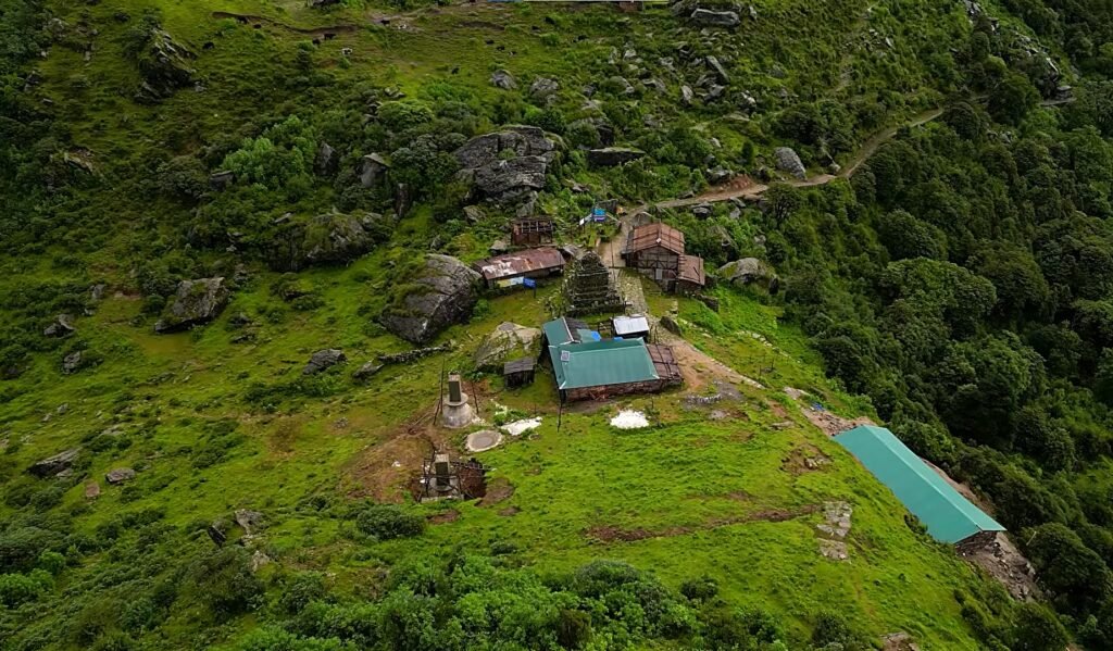
Staying in these homes also puts tourism revenue directly into the villages the trail passes through, rather than routing it elsewhere.
Accommodation along the way is simple but comfortable, in keeping with the character of the region.
Nights are spent in community lodges and guesthouses offering clean rooms, hot meals, and hospitality that feels like an extension of family life rather than a service transaction.
Expect Dal Bhat, homemade noodles, seasonal vegetables, and other locally grown produce, food that’s as much a part of the cultural experience as anything else on the trail.
The facilities are more basic than what you’d find on the Everest or Annapurna routes, but what’s lost in polish is made up for in intimacy.
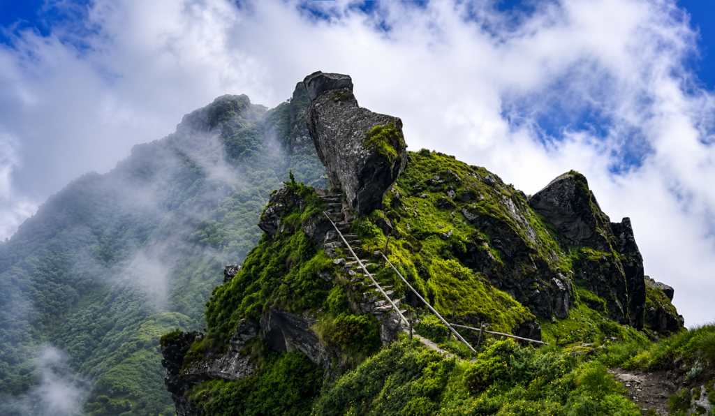
Physically, the Mundum Trek sits at a moderate level of difficulty, making it a reasonable choice for both first-time trekkers and more experienced hikers looking for something less crowded.
Daily walking runs roughly five to seven hours over well-established trails through forest, ridge, meadow, and village.
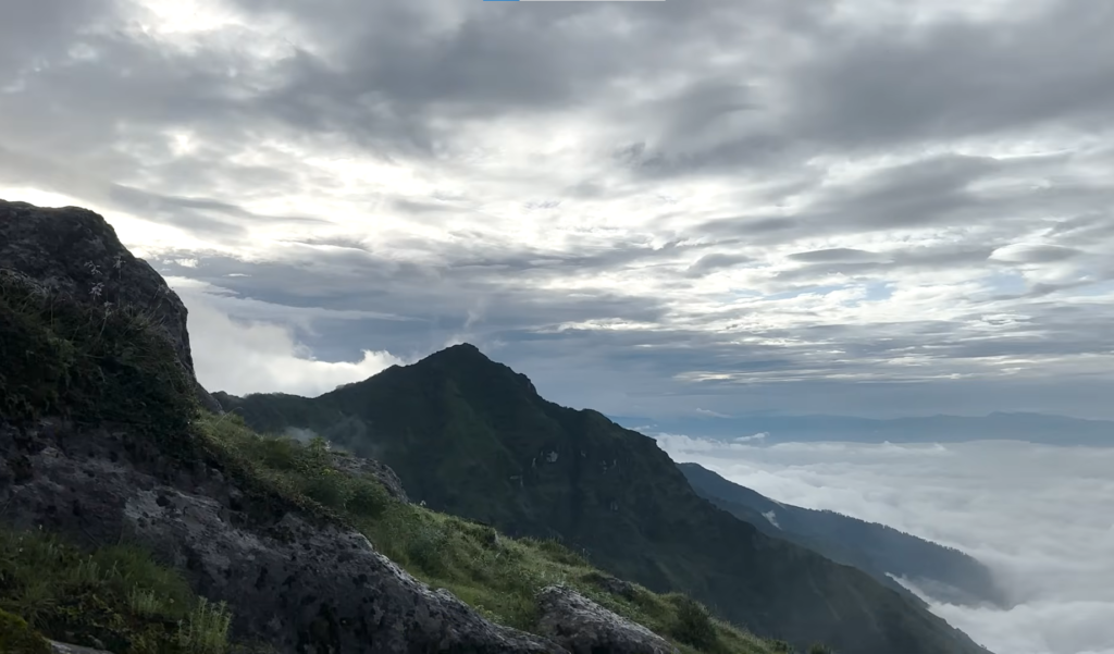
The climb to Silichung Peak adds a genuine high-altitude viewpoint to the itinerary without requiring any technical skill, and the gradual pace built into the route gives the body time to adjust to the elevation gain, keeping altitude-related problems uncommon compared to Nepal’s higher treks.
Reasonable fitness, the right attitude, and a bit of preparation are really all that’s needed.
Spring (March to May) and autumn (September to November) are the strongest seasons for the trek.
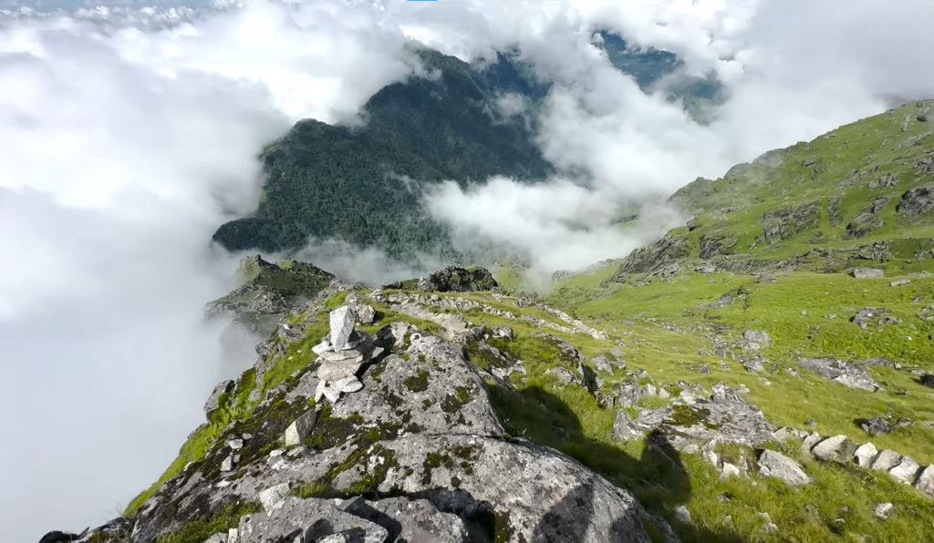
Spring fills the hillsides with blooming rhododendron and brings comfortable walking temperatures, while autumn offers the clearest skies, the most stable weather, and the best mountain visibility of the year from both Temke Danda and Silichung Peak.
Winter trekking is possible, though the cold at higher elevations calls for warmer gear, particularly for the early start up Silichung.
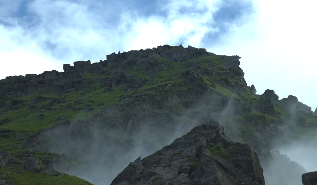
The monsoon months bring lush green landscapes but also frequent rain and reduced visibility, making them the least reliable time to go.
What ultimately makes the Mundum Heritage Trail worth choosing is its sense of discovery. On Nepal’s better-known routes, thousands of trekkers walk the same path each season.
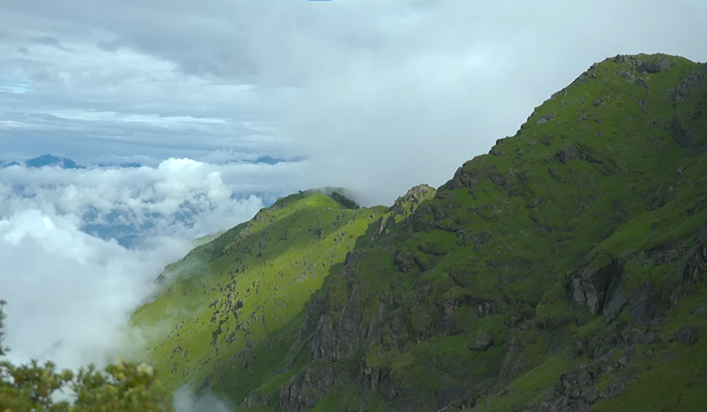
Here, the trail still feels genuinely unclaimed, each day brings new terrain, unfamiliar villages, sacred sites, and viewpoints that remain largely unknown outside eastern Nepal.
It’s a trek that pairs real Himalayan scale with real cultural immersion, offering a side of Nepal that hasn’t changed much in longer than most trails can claim.
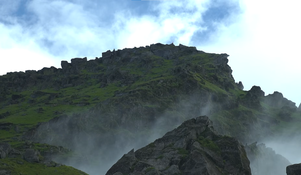
Whether it’s the traditions of the Kirat Rai people, the stillness of Salpa Pokhari, the sunrise from Silichung Peak, or the quiet ridgelines stretching across the eastern hills that draw you in, the Mundum Trek offers something genuinely singular.
It’s a journey through one of Nepal’s most authentic Himalayan regions, where old traditions, welcoming communities, and extraordinary landscapes still exist on their own terms, and are likely to stay with you well after you’ve come home.
Trek Overview
| Category | Details |
|---|---|
| Duration | 13 Days |
| Maximum Altitude | Silichung Peak (4,153 m) |
| Difficulty | Moderate |
| Accommodation | Teahouses & Local Guesthouses |
| Meals | Breakfast, Lunch & Dinner |
| Walking Hours | Approximately 5–7 hours per day |
| Transportation | Domestic Flight & Private Vehicle |
| Best Seasons | Spring (March–May) & Autumn (September–November) |
| Permits | Required local trekking Khumbu Municipality permit and TIMS |
Altitude Range & Trail Character
| Altitude Range | Trail Character |
|---|---|
| 1,300–2,000 m | Traditional Rai villages, terraced farmland, rivers and mixed forests |
| 2,000–3,000 m | Oak, pine and rhododendron forests with scenic ridge trails |
| 3,000–3,700 m | Open alpine meadows, Temke Danda viewpoints and sacred Salpa Pokhari |
| 3,700–4,153 m | High alpine ridges leading to Silichung Peak with spectacular Himalayan panoramas |
Difficulty Overview
| Category | Details |
|---|---|
| Physical Demand | Moderate |
| Daily Walking | 5–7 Hours |
| Highest Elevation | Silichung Peak (4,153 m) |
| Technical Difficulty | Easy (No Technical Climbing) |
| Suitable For | Beginners, Families, Active Seniors and Experienced Trekkers |
| Altitude Challenge | Moderate |
Packing List – Clothing Layers
| Layer | Items |
|---|---|
| Base Layer | Moisture-wicking trekking shirts, thermal long sleeves |
| Mid Layer | Fleece jacket or lightweight insulated jacket |
| Outer Layer | Waterproof jacket, windproof shell and waterproof trekking trousers |
| Lower Body | Quick-dry trekking pants and thermal leggings |
| Warm Layer | Down jacket recommended for Temke Danda, Salpa Pokhari and the early morning ascent of Silichung Peak |
| Accessories | Warm hat, buff, sun hat, lightweight gloves and warm trekking socks |
Essential Gear
| Category | Items |
|---|---|
| Footwear | Well broken-in waterproof trekking boots and lightweight camp shoes or sandals |
| Backpack | Daypack (25–35 litres) and duffel bag for porter support |
| Sleeping | Sleeping bag rated to around -10°C for higher elevations |
| Hydration | Reusable water bottles (2–3 litres), purification tablets or water filter |
| Safety | Sunglasses, SPF 50 sunscreen, lip balm, personal first aid kit and blister care supplies |
| Extras | Trekking poles, headlamp for the pre-dawn Silichung Peak hike, power bank, camera and rain cover |
Weather & Temperature Guide
| Season | Day Temperature | Night Temperature |
|---|---|---|
| Spring (March–May) | 10°C to 20°C | -3°C to 6°C |
| Summer (June–August) | 15°C to 22°C | 5°C to 10°C |
| Autumn (September–November) | 8°C to 18°C | -5°C to 5°C |
| Winter (December–February) | 2°C to 12°C | -10°C to -2°C |
Major Viewpoints Along the Mundum Trek
| Viewpoint | Highlights |
|---|---|
| Temke Danda (3,680 m) | Everest, Lhotse, Makalu, Chamlang and Kanchenjunga on clear days |
| Salpa Pokhari (3,440 m) | Sacred alpine lake surrounded by forests, prayer flags and peaceful mountain scenery |
| Silichung Peak (4,153 m) | 360-degree panorama including Everest, Lhotse, Makalu, Chamlang, Gaurishankar and Kanchenjunga |
Why Choose the Mundum Trek?
| Feature | Benefit |
|---|---|
| Authentic Kirat Culture | Experience ancient traditions, local festivals and authentic Rai village life. |
| Community Lodges | Stay with local families while directly supporting community tourism. |
| Sacred Heritage | Visit Salpa Pokhari and follow historic Mundum pilgrimage routes. |
| Peaceful Trails | Explore one of Nepal’s least-crowded trekking destinations. |
| Outstanding Mountain Views | Enjoy panoramic Himalayan scenery from Temke Danda and Silichung Peak. |
| Moderate Difficulty | Suitable for beginners, families and experienced trekkers looking for a unique cultural adventure. |
Trip Highlights
- Walk the ancient Mundum Heritage Trail, following traditional pilgrimage routes through the homeland of the Kirat Rai people, where centuries-old spiritual traditions remain part of everyday life
- Reach Temke Danda (3,680 m) for one of eastern Nepal's finest Himalayan panoramas, with breathtaking views stretching from Everest and Lhotse to Makalu, Chamlang, and Kanchenjunga
- Visit the sacred alpine lake of Salpa Pokhari (3,440 m), an important pilgrimage destination for both Kirat and Hindu communities, surrounded by peaceful forests and mountain scenery
- Reach Silichung Peak (4,153 m), the highest point of the Mundum Heritage Trail, and enjoy breathtaking 360-degree views of Everest, Lhotse, Makalu, Chamlang, Kanchenjunga, Gaurishankar, and countless eastern Himalayan peaks.
- Begin your adventure in historic Bhojpur, renowned for its traditional Khukuri craftsmanship and its rich connection to the culture and heritage of eastern Nepal
- Trek through spectacular forests of rhododendron, oak, bamboo, and pine, where spring transforms the hillsides into one of Nepal's most colourful natural landscapes
- Experience authentic Rai hospitality while staying in community lodges and traditional villages, where local customs, architecture, and family-run accommodation create a genuine cultural experience
- Follow quiet ridgelines above Maiyung and Hongku, where each day's climb reveals wider views of the eastern Himalayas and the untouched landscapes of the Mundum region
- Discover one of Nepal's least-visited trekking regions, where peaceful trails, welcoming communities, and uncrowded viewpoints offer a refreshing alternative to the Everest and Annapurna routes
- Explore traditional Rai villages where farming, craftsmanship, and the oral traditions of the Mundum continue to shape everyday life across eastern Nepal
- Enjoy spectacular sunrise and sunset views over the eastern Himalayas from remote mountain viewpoints that remain largely undiscovered by international trekkers
- Complete a rewarding cultural adventure that combines Himalayan scenery, ancient Kirat heritage, sacred pilgrimage sites, and authentic village life on one of Nepal's most unique community-based trekking trails
Mundum Trek – 13 Days ~ Itinerary
Day 1
Arrival in Kathmandu
- Altitude: 1,350 m
- Accommodation: Standard Three Star Hotel in Thamel
A Nepal Royal Tourism Holidays representative meets you at Tribhuvan International Airport and transfers you to your hotel in Thamel. The evening includes a full briefing covering the twelve-day itinerary, the domestic flight, the drive through eastern Nepal, the community lodge network, and what to expect in the Kirat Rai villages along the trail. Unlike the Khumbu or Annapurna approaches, the Mundum Trail is new enough that most trekkers arrive knowing very little about it. The briefing is where that changes.
Day 2
Fly from Kathmandu to Tumlingtar, Drive to Bhojpur
- Altitude: 2,840 m
- Flight Duration: 35 to 40 minutes
- Drive Duration: 5 to 6 hours
- Drive Distance: Approx. 150 km
- Meal: Breakfast, Lunch and Dinner
- Accommodation: Lodge in Bhojpur
The morning flight to Tumlingtar follows the river valleys east of Kathmandu with aerial views of rolling forested hills and the first hints of the eastern Himalayan chain on the northern horizon. From Tumlingtar the drive climbs through Rai and Limbu settlements, cardamom farms, and subtropical forest before arriving in Bhojpur. The town is the cultural capital of its district and has been famous across Nepal for its traditional Khukuri knife workshops for centuries. A short evening walk through the town is the right introduction before the trail begins tomorrow.
Day 3
Drive from Bhojpur to Hatuwa and Trek to Chaukibhanjyang
- Max altitude: 2,400 m
- Drive Duration: 2 to 3 hours
- Drive Distance: Approx. 40 to 50 km
- Trek Duration: 4 to 5 hours
- Trek Distance: 9 km
- Meal: Breakfast, Lunch and Dinner
- Accommodation: Teahouse in Chaukibhangyanj
A short morning drive brings the group to Hatuwa, the official trailhead of the Mundum Heritage Trail, where the road ends and the stone-paved footpath begins. The trail climbs steadily through terraced farmland, oak and rhododendron forest patches, and small Rai settlements where farming families and schoolchildren are the main inhabitants of the path. The atmosphere changes immediately from road travel to genuine mountain walking. Chaukibhanjyang at 2,400 metres is a peaceful hill settlement with community lodge facilities and the first long views toward the surrounding ridges.
Day 4
Trek from Chaukibhanjyang to Maiyung
- Altitude: 2,950 m
- Trek Duration: 5 to 6 hours
- Trek Distance: 11 km
- Meal: Breakfast, Lunch and Dinner
- Accommodation: Teahouse in Maiyung
The trail climbs through dense rhododendron, pine, and oak forest that blankets the ridges above Chaukibhanjyang. In spring the forest blooms in red, pink, and white across the hillsides in one of the most colourful sections of the entire route. The path passes sacred forest groves and grazing meadows that hold significance in Kirat tradition, and the cultural dimension of the trail is present in the landscape rather than just the villages. Maiyung at 2,950 metres sits on an open ridge with the first real panoramic views of the eastern Himalayan chain beginning to reveal themselves to the north.
Day 5
Trek from Maiyung to Hongku Valley
- Altitude: 2,960 m
- Trek Duration: 5 to 6 hours
- Trek Distance: 12 km
- Meal: Breakfast, Lunch and Dinner
- Accommodation: Teahouse in Hongku Valley
Today follows one of the most peaceful sections of the Mundum Trail along broad ridgelines through alpine grassland and rhododendron forest, with views of rolling eastern Nepal hills on one side and the growing presence of the Himalayan chain on the other. The trail sees very few other trekking groups and the sounds of the route are forest birds and wind rather than footfall. Himalayan pheasants inhabit the surrounding scrub and bird activity is high through the morning hours. Hongku Valley at 2,960 metres is quiet and enclosed with good mountain views and community lodge facilities.
Day 6
Trek from Hongku Valley to Salpa Pokhari
- Altitude: 3,440 m
- Trek Duration: 5 to 6 hours
- Trek Distance: 10 km
- Meal: Breakfast, Lunch and Dinner
- Accommodation: Teahouse in Salpa Pokhari
The trail climbs through moss-covered forest and bamboo groves into higher terrain as the route approaches one of the most significant locations on the entire trek. Salpa Pokhari at 3,440 metres is a sacred alpine lake revered by both Kirat and Hindu communities and used as a pilgrimage destination by devotees from surrounding districts who walk days to reach it during festival seasons. Prayer flags and ritual stone structures mark the lakeshore. The atmosphere of the place is specific and quiet in a way that is difficult to explain without having been there. The evening at the lake is worth staying outside for.
Day 7
Trek from Salpa Pokhari to Silichung High Camp
- Altitude: 4,000 m
- Trek Duration: 4 to 5 hours
- Trek Distance: 6 km
- Meal: Breakfast, Lunch and Dinner
- Accommodation: Teahouse/ Community Camp near Silichung Peak
Leaving the lake basin, the trail climbs steadily out of the forest and onto open alpine ground beneath Silichung Peak. The gradient is the steepest sustained climb of the trek, but the distance is short and the walking day ends by early afternoon. The high camp sits just below the treeline’s final edge, with Silichung’s summit visible directly above and the first uninterrupted views north toward the Himalayan chain. The short day is deliberate — it leaves the body time to adjust before the pre-dawn climb to the summit the following morning, and the afternoon is free to rest at camp.
Day 8
Silichung Peak Summit, Trek to Temke Danda
- Altitude: 3,680 m overnight and 4,153 at Silichung Peak
- Trek Duration: 5 to 6 hours
- Trek Distance: 9 km
- Meal: Breakfast, Lunch and Dinner
- Accommodation: Teahouse in Temke Danda
A pre-dawn start brings the group from high camp to the summit of Silichung Peak at approximately 4,153 metres in time for sunrise, the highest point reached on the entire trek and the sacred hilltop that Kirat Mundumi shamans have walked to for generations. The panorama at first light spans the full eastern Himalayan chain from Everest and Lhotse through Makalu and Chamlang to Kanchenjunga, seen from a summit that almost no international trekker has stood on. After time at the top, the trail descends back through camp and continues down through forest and ridge terrain to Temke Danda, the trek’s other major viewpoint, for the overnight stop.
Day 9
Trek from Temke Danda to Basa Kharka
- Altitude: 2,850 m
- Trek Duration: 5 to 6 hours
- Trek Distance: 11 km
- Meal: Breakfast, Lunch and Dinner
- Accommodation: Teahouse in Basa Kharka
Wake early enough to see the dawn light move across the eastern Himalayan chain from the Temke Danda ridge before the descent begins. The trail drops through pine and rhododendron forest, past alpine meadows and seasonal grazing shelters, with occasional forest clearings that open back toward the mountains behind. The altitude loss from 3,680 metres to Basa Kharka at 2,850 metres brings the air noticeably warmer and the vegetation thicker by the afternoon. Basa Kharka is a small highland settlement where traditional livestock herding and farming continue as the main way of life.
Day 10
Trek from Basa Kharka to Dingla
- Altitude: 1,950 m
- Trek Duration: 5 to 6 hours
- Trek Distance: 12 km
- Meal: Breakfast, Lunch and Dinner
- Accommodation: Teahouse in Dingla
The descent continues through cultivated hillsides and Rai villages where the warmer climate supports rice terracing and subtropical agriculture. The trail passes local hamlets where daily life proceeds along patterns established across generations, farmers working their fields, children on the mountain footpaths that serve as school routes, elders at the water sources and resting places that have served travelers for centuries. Dingla at 1,950 metres is one of the largest settlements in the Bhojpur hills and functions as a regional trading centre connecting the surrounding villages to the broader district economy.
Day 11
Drive from Dingla to Bhojpur
- Altitude: 1,610 m
- Drive Duration: 4 to 5 hours
- Drive Distance: Approx. 90 km
- Meal: Breakfast, Lunch and Dinner
- Accommodation: Lodge in Bhojpur
The vehicle picks up the group in Dingla for the scenic drive back through the Bhojpur hills to town. The road passes local markets, terraced hillsides, and the forested valleys that the first days of the trek moved through on foot, carrying the different perspective that a week of walking brings. Arriving in Bhojpur by afternoon leaves time to visit the Khukuri workshops for which the town is famous or simply to sit with the particular sense of completion that comes at the end of a walk through terrain that earned its way.
Day 12
Drive from Bhojpur to Tumlingtar, Fly to Kathmandu
- Altitude: 1,350 m
- Flight Duration: 35 to 40 minutes
- Drive Duration: 5 to 6 hours
- Drive Distance: Approx. 150 km
- Meal: Breakfast and Lunch
- Accommodation: Standard Three Star Hotel in Thamel
The morning drive from Bhojpur retraces the approach road to Tumlingtar Airport through the forested hills and river valleys of eastern Nepal. The domestic flight returns to Kathmandu with aerial views that put the entire landscape of the past eleven days into a single wide frame. Arriving in Kathmandu by afternoon, the rest of the day is free for final shopping in Thamel, a visit to nearby heritage sites, or simply the uncomplicated pleasure of a city hotel at low altitude after eleven days in the hills.
Day 13
Final Departure from Kathmandu
- Meal: Breakfast
You transfer to Tribhuvan International Airport for your international departure. The Mundum Trek concludes today, twelve days through a corner of Nepal that mainstream trekking itineraries do not reach, through the cultural heartland of the Kirat Rai people, and along ridges that carry sacred significance to the communities living on them. The mountains were there. So was everything else.
Mundum Trek – 13 Days Fixed Departures Dates
Trip Cost Includes/Excludes
Cost Includes
- Airport transfers in Kathmandu on arrival and departure
- Two nights Three Star Hotel accommodation in Kathmandu
- All three meals, Breakfast, Lunch and Dinner during trekking days with a cup of tea or coffee
- Experienced English-speaking licensed trekking guide with Kirat cultural knowledge
- All ground transport as per itinerary (Tumlingtar to Bhojpur, Bhojpur to Hatuwa, Dingla to Bhojpur, Bhojpur to Tumlingtar)
- Experienced English-speaking licensed trekking guide with Kirat cultural knowledge
- Porter support (one porter per two trekkers)
- Required trekking permits and local fees (TIMS and Khotang Municipality Trekking fee)
- Nepal Royal Tourism Holidays trek completion certificate and T-shirt
- All government taxes and service charges
Cost Excludes
- International flights to and from Kathmandu
- Nepal entry visa fee
- Travel insurance (mandatory)
- Personal trekking equipment and clothing
- Drinks, bottled water, and snacks at lodges
- Tips for guide, porter, and driver
- Any personal expenses not listed under What Is Included
Trip Photo/Video Gallery
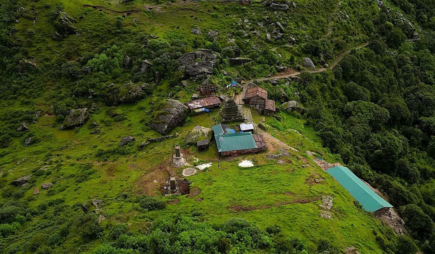
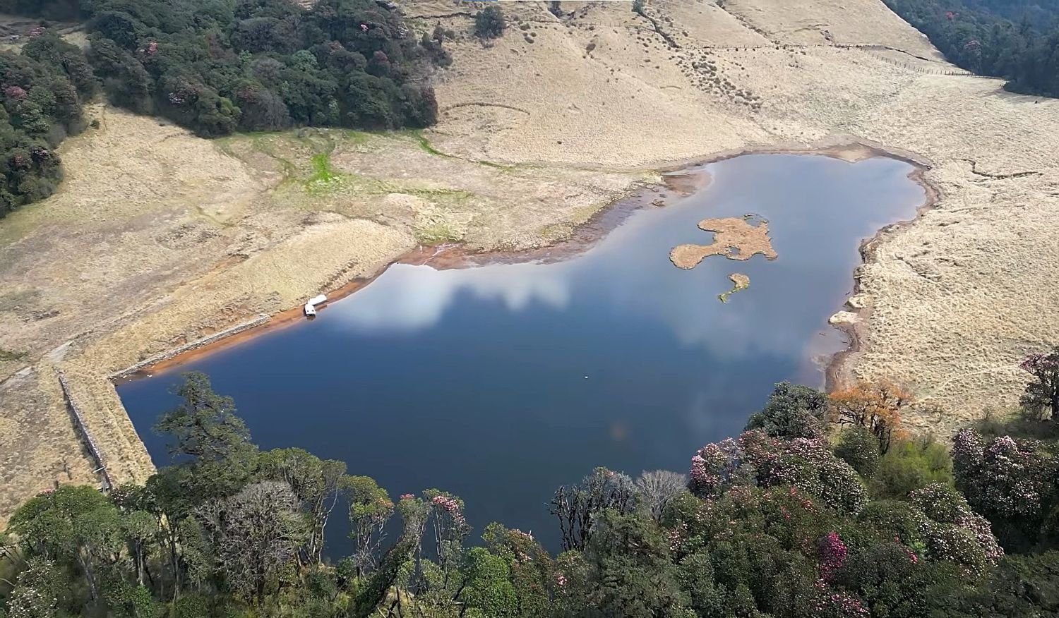
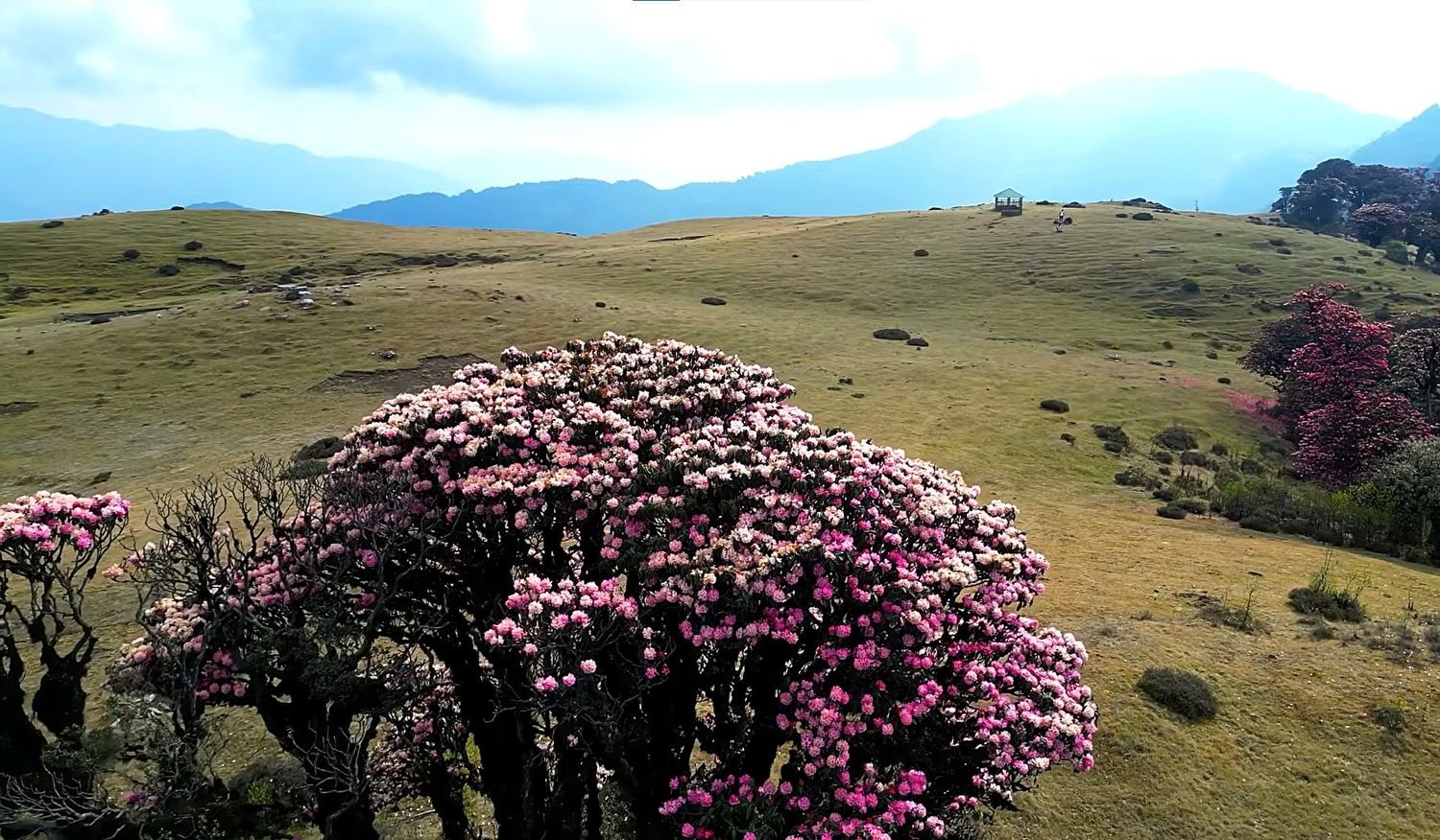
Frequently Asked Questions
The Mundum Trek is a community-based cultural trekking route in eastern Nepal that explores the homeland of the Kirat Rai people. The trail combines authentic village life, sacred pilgrimage sites, dense forests, panoramic Himalayan viewpoints, and the rich traditions of the Mundum, the ancient oral scripture of the Kirat community.
The trek takes its name from the Mundum, the sacred oral tradition of the Kirat Rai people that preserves their history, beliefs, customs, and spiritual connection with nature. Many of the trails and sacred sites visited during the trek have been used by Kirat priests and pilgrims for generations.
The Mundum Trek is considered a moderate trek suitable for anyone with a reasonable level of fitness. Daily walks generally last between 5 and 7 hours on well-established trails with gradual ascents and descents. The highest point reached is Silichung Peak at 4,153 metres, but the itinerary is designed to make the altitude comfortable for most trekkers.
No previous trekking experience is required. The trail is non-technical and does not involve climbing or mountaineering. Beginners who are physically active and prepared for several days of walking can comfortably complete the trek with the support of an experienced guide.
The highest point of the trek is Silichung Peak at 4,153 metres. From the summit, you can enjoy breathtaking 360-degree views of Everest, Lhotse, Makalu, Chamlang, Kanchenjunga, and many other peaks across eastern Nepal, making it one of the highlights of the entire journey.
Salpa Pokhari is a sacred alpine lake situated at approximately 3,440 metres. Revered by both Kirat and Hindu communities, it has been an important pilgrimage destination for centuries and remains one of the most spiritually significant places along the Mundum Heritage Trail.
Accommodation is provided in locally operated community lodges and family-run guesthouses. Rooms are simple but clean and comfortable, while meals are freshly prepared using locally sourced ingredients. Staying in these lodges also helps support the local communities along the trekking route.
The best seasons are from March to May and September to November. Spring offers colourful rhododendron blooms and pleasant temperatures, while autumn provides crystal-clear mountain views and stable weather. Winter trekking is also possible for those prepared for colder conditions.
The necessary trekking permits are arranged by Nepal Royal Treks before your trip begins. No restricted area permit or climbing permit is required for this itinerary, making the preparation process simple and straightforward.
Yes. The itinerary can be customized according to your travel schedule, fitness level, and interests. Extra cultural experiences, additional sightseeing, or more time in local villages can be included to create a more personalized trekking experience.
You may also like
7 Nights 8 Days Bhutan Tour: Paro, Punakha, Bumthang & Tiger’s Nest Experience
-
Trip
8 Days
-
Grade
Easy to Moderate
-
Altitude
3,980m


Menu