


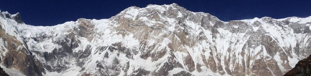
Where Are the Himalaya Mountains Located? Countries, Peaks and Climate
The Himalaya Mountains are located in Asia. They hold the countries of Pakistan, India, Nepal, Bhutan, and China together in a gigantic wall of mountains between the Tibetan Plateau in the North and the Indian subcontinent in the South.
The distance is a long line of nearly 2,500 kilometers or 1,550 miles and this is why the Himalayas are not a preserve of a single country although it is Nepal that most visitors identify with them first.
This is not a small range of mountains since the entire system spans approximately 595,000 square kilometers. It is among the great geographic features of the continent. It is the tallest mountain system on Earth.
The Himalayas are home to over 110 peaks which are higher than 7300 meters and that in itself is a testimony to their size.
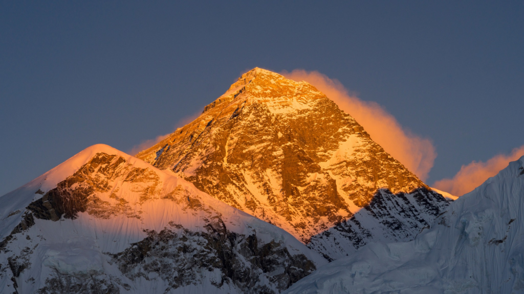
The most famous mountain top is the Mount Everest that is situated on the Nepal-China border at a height of 8,849 meters.
However, Everest is not the only component of a much greater mountain world which also has Kanchenjunga, Lhotse, Makalu, Dhaulagiri, Manaslu, and Annapurna I.
The Himalayas are so impressive not only because of the height of the single mountains, but because so many such huge mountains are so near each other in one continuous system.
Its 125 kilometers long range starts almost at Nanga Parbat in the West and extends across South Asia to Namcha Barwa in the east. It is wider and narrower between those ends, and generally extends over a distance of 200 to 400 kilometers south to north.
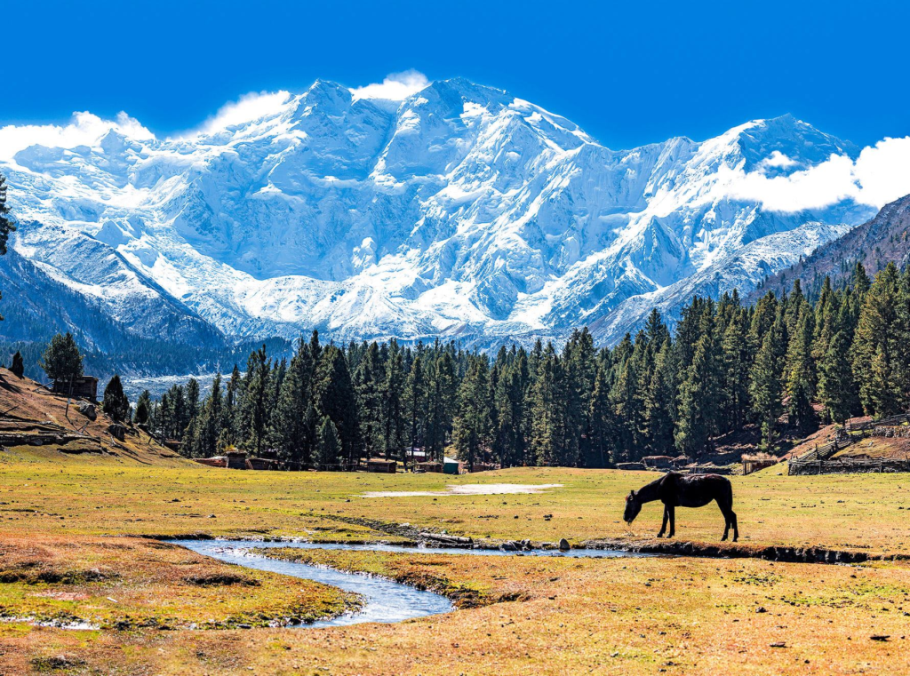
The reason why that width is important is that the Himalayas are not a single steep ridge. They include a wide mountain range with foothills, middle range, high valleys, glacier country, and the great snow range itself.
When you realize that, the range begins to look more like it has on the map. It is not a straight white line. It is a complete mountainous area.
The landscape is also appropriate to the name. Himalaya is a Sanskrit word that is typically translated as dwelling place of snow.
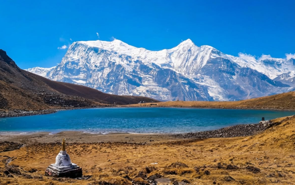
The upper areas remain stuck in snow and ice and lower areas fall into forests, rivers, villages, and cultivated hillsides.
And that is one of the reasons why the Himalayas are so wealthy in reality. They do not provide a single type of scenery, but offer plenty more which seems a literal heaven for mountaineers and trekkers.
| Country | Part of the Himalayas | What It Is Known For |
|---|---|---|
| Pakistan | Western edge | Nanga Parbat and the western anchor of the Himalayan arc |
| India | Western, central, and eastern sections | Pilgrimage routes, hill states, major valleys, and long stretches of mountain country |
| Nepal | Central Himalayas | Everest, Annapurna, Manaslu, Langtang, and many of the world’s best-known trekking regions |
| Bhutan | Eastern Himalayas | Remote high valleys, sacred peaks, and strong Buddhist mountain culture |
| China | Northern slopes through Tibet | The Tibetan face of the range and the high plateau north of the main crest |
They alternate with each other, as you pass through them, between foothill warm and cold alpine ground and then the high snow zone above.
A mountain range spread across several countries
Every country possesses its portion of Himalayas, and every portion is somewhat different. Pakistan is in the western advantage close to Nanga Parbat.
The long Himalayan belt stretches in Jammu and Kashmir, Himachal Pradesh, Uttarakhand, Sikkim, and Arunachal Pradesh. The range is centred on Nepal.
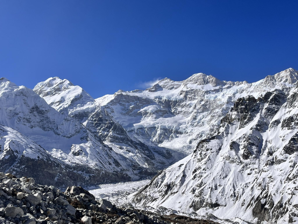
Bhutan is located in the eastern Himalayas with the northern side belonging to China via Tibet. It is one reason the Himalayas have so much diversity in climate, culture, and experience of travel.
The same mountain system comprises a trek in Nepal, a high valley in Bhutan and a dry Tibetan mountain road but they do not feel it.
It is common to consider Nepal as the epicenter of the Himalayan tourist image since a significant number of well-known mountains border the Nepal-Tibet border. It is a real image but it can also cause the range to appear smaller than it is.
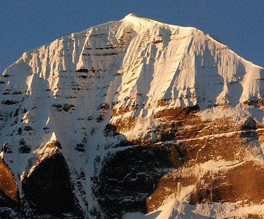
The Himalayas are larger than Everest Base Camp, larger than Nepal alone, and larger than the iconic trekking image that many hold in their mind.
The Indian Himalayas comprise major pilgrimage scenery and ancient mountain belt ranges.
The mountains in Bhutan are intertwined with religious identity. The dry north side of the system is shown in Tibet. The western entrance into the arc is Pakistan. They collectively render the Himalayas a regional world, rather than a single destination.
What the Himalayas actually look like
Himalayas are associated with height and height is just one constituent of the picture. This is also determined by high peaks, deep rivers, valley glaciers, snowfields, and extremely sharp elevation changes.
Rivers slice so deep into the scenery in most of the locations that the valleys almost as dramatic as the peaks above them. This is one of the reasons why the mountains are so intense on the ground. You do not always stop looking at mountains.
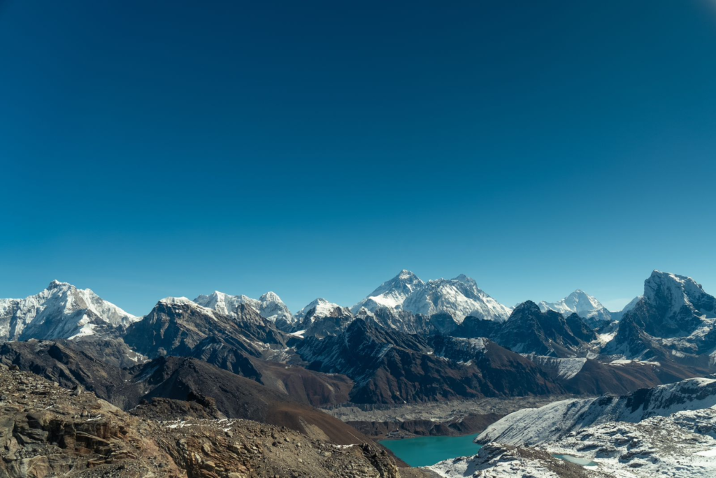
You are going through rock that has been hardened by water and ice and tectonic pressure. The mountain system is most commonly conceived as belts which are parallel to each other. The lower foothills are the Outer Himalayas commonly referred to as the Siwalik range.
To the north of them are the Lesser Himalayas, in which are numerous towns, villages, and lower trekking routes. Over them you will see the Great Himalaya Range where the tallest mountains are ever in the snow.
Beyond that is the high country associated with Tibet. This formation is one of the reasons why the variety of different landscapes in the range is so enormous in a single extensive system of mountains.
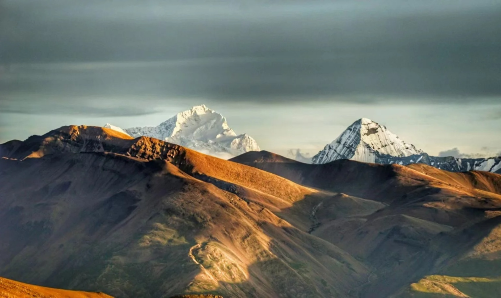
It also shows us why the climb between low foothills and high glacier country can be so dramatic when the horizontal distance covered is so short. The range is also dissimilar south to north.
The soil on the south side and particularly in the monsoon belt is greener, wetter and more forested. To the north of the crest, above the topmost crest, there is a shift toward a drier, more open high country with Tibet.
| Quick Himalayan Fact | Detail |
|---|---|
| Length | About 2,500 km (1,550 miles) |
| Width | Usually about 200–400 km |
| Area | About 595,000 sq km |
| Highest peak | Mount Everest, 8,849 m |
| Very high peaks | More than 110 peaks above 7,300 m |
| Main geographic role | Barrier between the Tibetan Plateau and the Indian subcontinent |
| River importance | Source zone for major river systems such as the Indus, Ganges, and Brahmaputra |
It is one of the characteristic images of the Himalayas. The mountains are not just high. They constitute a boundary between two very distinct ecological worlds.
The formation of the Himalayas started when the Indian Plate bumped against the Eurasian Plate some 40-50 million years ago.
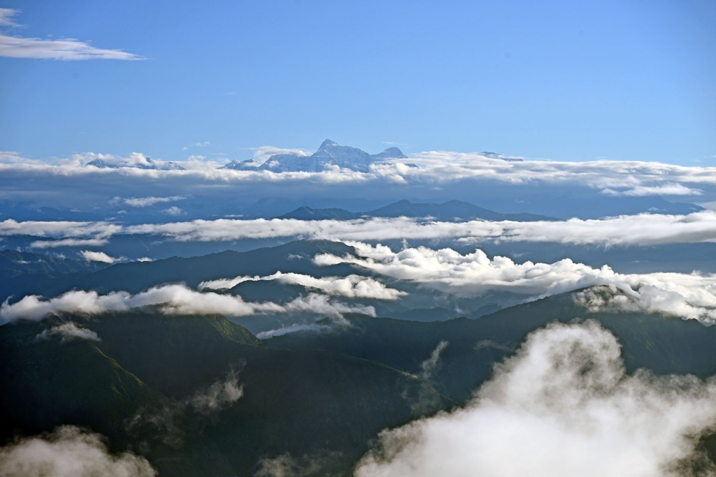
The fact that the two were similar in density and were continental landmasses meant that they did not simply sink in each other in the normal manner.
Rather, the crust folded, buckled and was pushed upwards. With time, the area of that collision constructed the massive mountain wall, which continues to define Asia to this day.
It is also one of the most obvious and dramatic instances of plate tectonics that can be observed anywhere in the world.
Rivers, weather, and why the range matters far beyond the peaks
The Himalayas do far more than hold high summits. They are one of Asia’s great water sources. Major river systems linked to the range include the Indus, the Ganges, and the Brahmaputra, along with many other large rivers and tributaries.
Altogether, 19 major rivers drain the range. Snowfields, glaciers, seasonal melt, and monsoon-fed uplands all help feed water far beyond the mountain valleys themselves.
That is why the Himalayas matter not only to mountain communities, but to huge populations downstream.
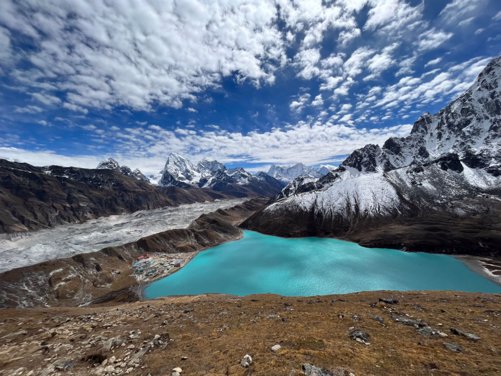
That is also why the Himalayas are often called the Water Towers of Asia. The wider high mountain region stores vast amounts of freshwater in snow and ice and helps support river systems used for farming, drinking water, hydropower, and daily life across the plains.
More than a billion people rely directly on this water in one form or another. The range is not only scenic or symbolic, It is also deeply practical.
The flow of water from these mountains supports real lives far from the glaciers themselves.
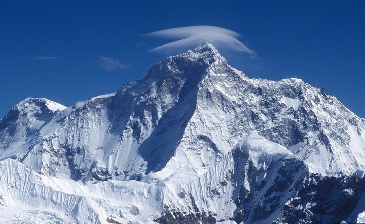
The Himalayas also shape climate on a continental scale. Their height blocks and redirects air movement, helping create wetter conditions on the southern slopes and much drier conditions to the north in Tibet.
That divide affects rainfall, forests, farming, and river flow. It is one reason the landscapes shift so sharply from lush foothills to cold alpine country and then into dry plateau terrain. In simple terms, the Himalayas do not just sit in the weather. They help create it.
People, faith, and mountain culture
The Himalayas are not empty wilderness. They are home to many communities whose lives have been shaped by mountain land, altitude, climate, and movement for generations.
Across the range live peoples speaking different languages and following different ways of life, including strong Tibetan Buddhist and Hindu traditions in many regions.
In Nepal alone, communities such as the Sherpa, Gurung, Tamang, Magar, and Newar all connect to the wider Himalayan story in different ways.
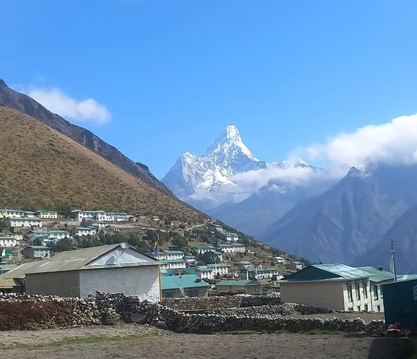
The same is true across northern India, Bhutan, and Tibet, where mountain life has its own rhythms, architecture, farming patterns, and religious landscape.
The mountains also carry deep spiritual meaning. Many Himalayan peaks, valleys, lakes, and passes are sacred in Hinduism, Buddhism, and other traditions of the region.
Pilgrimage routes, monasteries, temples, prayer flags, mani walls, and sacred mountain views are all part of the lived landscape.
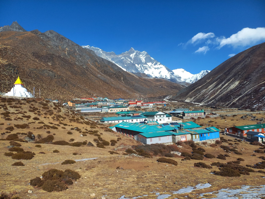
A mountain in the Himalayas is often more than a landform. It can be treated as a holy presence, a place of memory, or a focus of ritual and belief.
That religious depth is one reason the range feels different from many other mountain systems in the world.
This cultural side matters just as much as the geography. A trek in Nepal, a monastery visit in Bhutan, a pilgrimage route in Uttarakhand, or a drive through the high Tibetan country all belong to the wider Himalayan world.
The mountains run people’s homes, food, work, travel, and seasonal life. This is a small part of what makes the range so memorable. The Himalayas are not only admired from a distance. They are lived in.
Why the Himalayas draw so many travelers
For travelers, the Himalayas offer some of the world’s best-known trekking and climbing regions. Routes such as Everest Base Camp, the Annapurna Circuit, Langtang Valley, and the trails of Bhutan and the Indian Himalayas attract people from around the world.
These journeys are popular not only because of the mountains themselves, but because they combine scenery, village life, spiritual sites, and a strong sense of movement through changing landscapes.
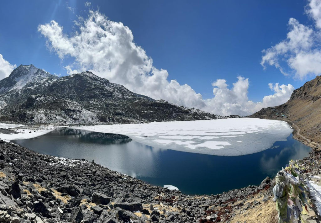
A Himalayan journey usually feels like more than a mountain walk. It feels like entering a full region with its own pace and character.
Mountaineering is also central to the global image of the Himalayas. Everest stands at the center of that story, but many other peaks across Nepal, India, Pakistan, and Tibet have drawn climbers for decades.
At the same time, the range is not only for summit seekers. Many visitors come for lower-altitude trekking, monastery visits, photography, wildlife, spiritual travel, river trips, and mountain villages.
The Himalayas work on many levels, which is one reason they continue to draw such a wide mix of travelers.
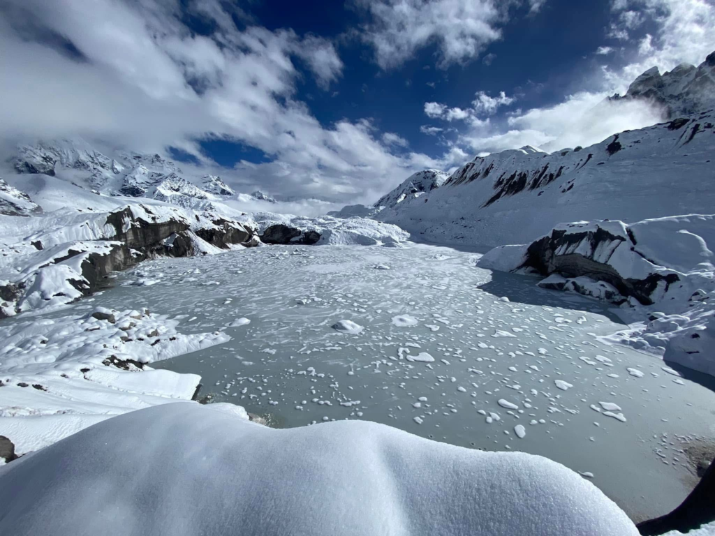
Himalayas are still one of the great mountain regions in the world but the Himalayas are not stress free either.
Glaciers, snow and flow of rivers are being impacted by climate change. In certain areas of the range, forest loss, habitat pressure, and increased human pressure contribute to additional pressure.
On a mountain system in which so much hinges on the water and precarious land, these changes have an impact much greater than the mountains themselves.
The future of the Himalayas is not merely an issue of mountains. It is directly related to food, water, energy, and human livelihood in Asia.
One of the largest concerns is melting glaciers. The Himalayas contain the highest density of ice beyond the polar areas and shifts in the region impact river systems that serve massive populations lower down.
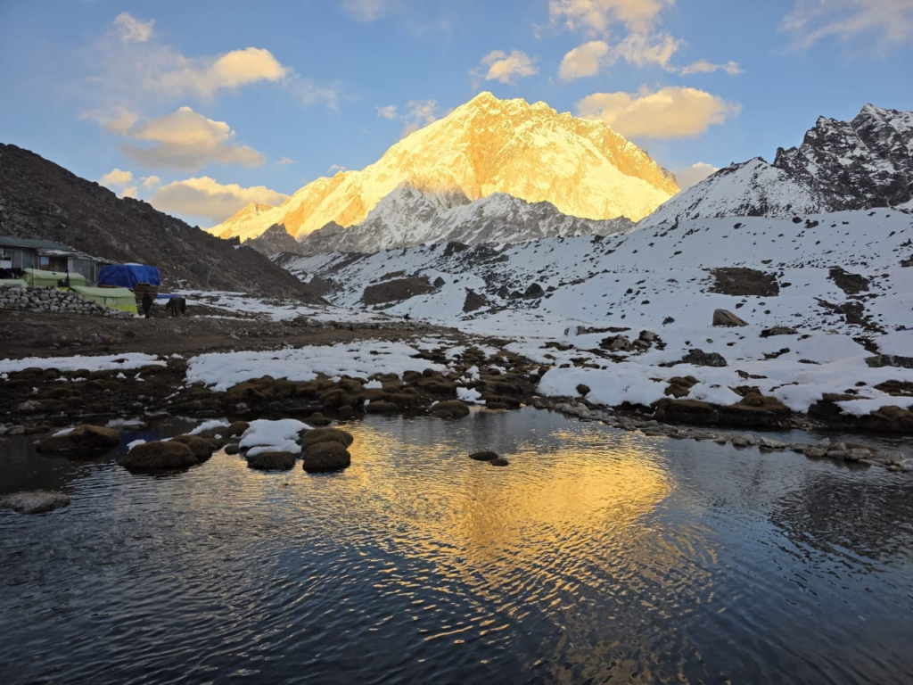
This is why the loss of glaciers is closely monitored in this area. It is not just a question of scenery or mountaineering.
It touches on long-term water security, seasonal water flow and the well-being of a mountain system upon which a large number of people are relying.
Overall, Himalayas or Himalayan Mountains lie in South and Central Asia, along a long curve through Pakistan, India, Nepal, Bhutan and China between the Tibetan Plateau and the Indian subcontinent.
The Himalayas are also the tallest mountainous range in the world, the birthplace of major rivers, a habitat of a rich wildlife and a place of such cultural and spiritual significance.
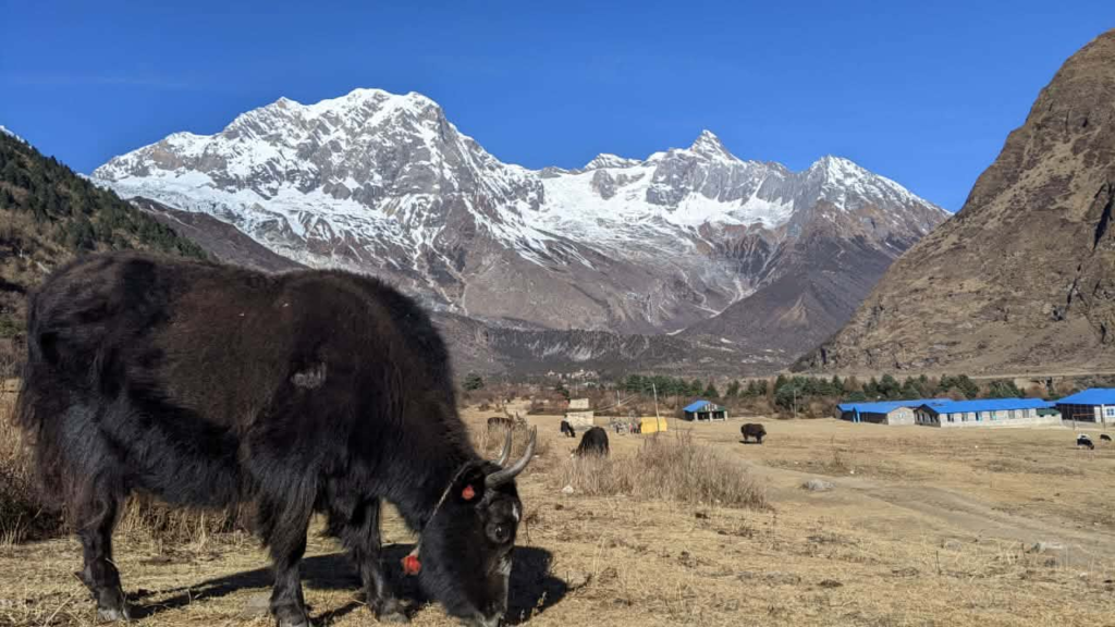
It is what makes the Himalayas more than a spot on the map. They define land, weather, water, travel and human life in a vast region of Asia.
They are mountains and at the same time one of the great defining regions of the world.
When you regard them in that larger sense, it becomes not a matter of where they are. The more comprehensive question is what they do, whom they defend, and why they still so matter so much.
Planning your Himalayan Journey
For those inspired to visit the Himalayas after learning their location and extent, Nepal offers the most developed trekking infrastructure and the most accessible major peaks. International flights arrive in Kathmandu from major Asian hubs, and domestic flights or ground transportation connect to trekking trailheads.
| Trekking Region | Best Season | Difficulty Level | Duration Range | Permit Type |
|---|---|---|---|---|
| Everest Base Camp | March-May, Sep-Nov | Challenging | 12-16 days | Sagarmatha National Park |
| Annapurna Circuit | March-May, Sep-Nov | Challenging | 15-20 days | ACAP and TIMS |
| Langtang Valley | March-May, Sept-Nov | Moderate | 7-10 days | Langtang National Park |
| Manaslu Circuit | March-May, Sept-Nov | Challenging | 14-18 days | Restricted Area |
| Upper Mustang | March-May, Sept-Nov | Moderate | 12-16 days | Restricted Area |
Most foreign visitors can obtain visas on arrival, and the trekking permit system is relatively straightforward compared to neighboring countries.
Independent trekkers can arrange their own permits and accommodations using the well-established teahouse system, while others prefer to book through trekking agencies that handle logistics, provide guides and porters, and ensure proper acclimatization schedules.
The choice depends on experience level, available time, budget, and personal preferences regarding independence versus supported travel.