

-
 Duration
17 Days
Duration
17 Days
-
 Difficulty
Strenuous
Difficulty
Strenuous
-
 Max Elevation
5,896m
Max Elevation
5,896m
-
 Group Size
1 to 10 Pax Person
Group Size
1 to 10 Pax Person
-
 Accommodation
Teahouse/Camping
Accommodation
Teahouse/Camping
-
 Start/End
Kathmandu Airport/Kathmandu
Start/End
Kathmandu Airport/Kathmandu
-
 Destination
Ganesh Himal Region
Destination
Ganesh Himal Region
-
 Best Season
Aug-Nov & Feb -May
Best Season
Aug-Nov & Feb -May
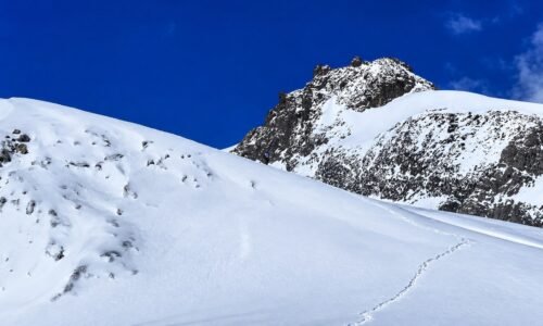
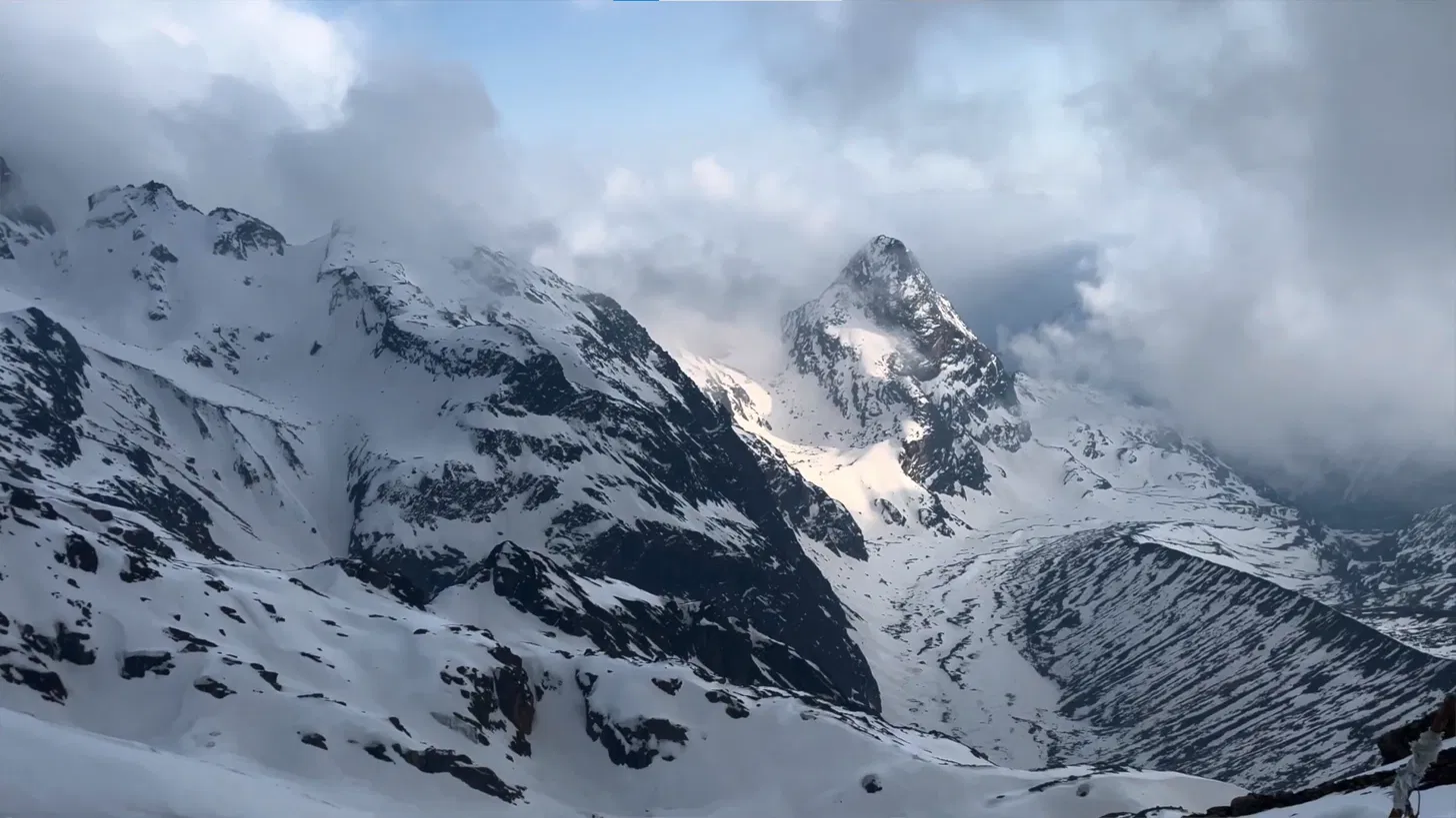
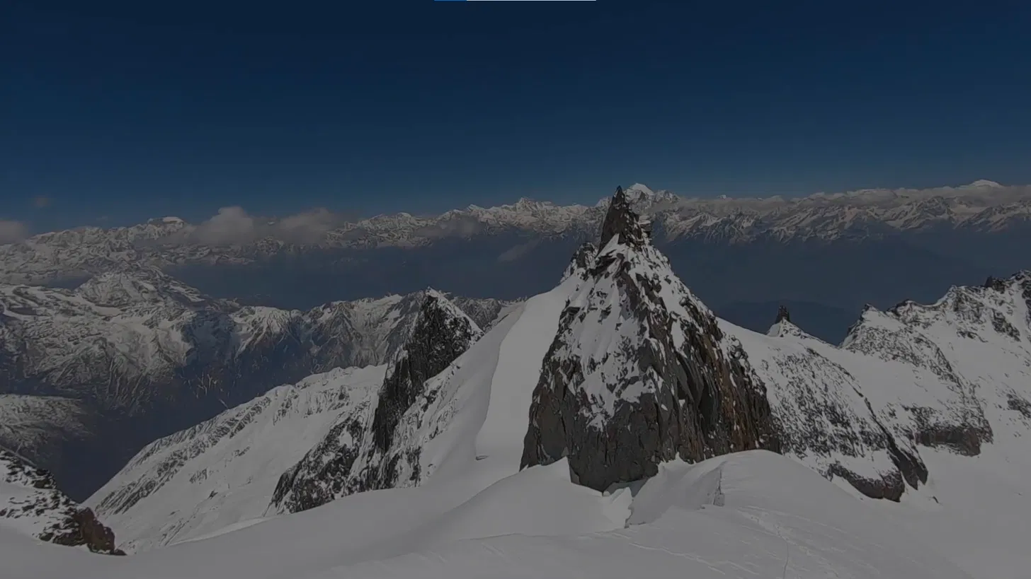
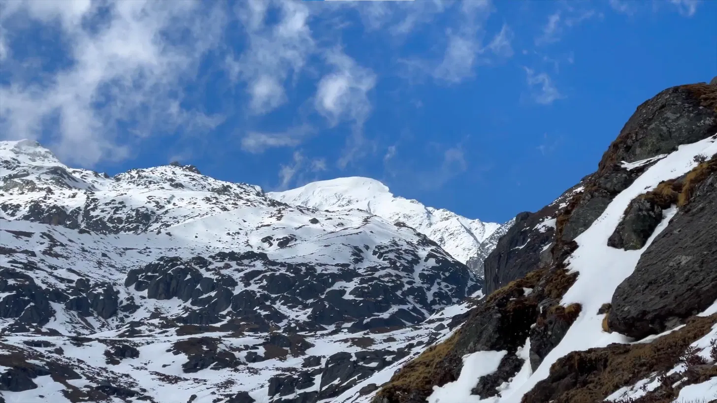
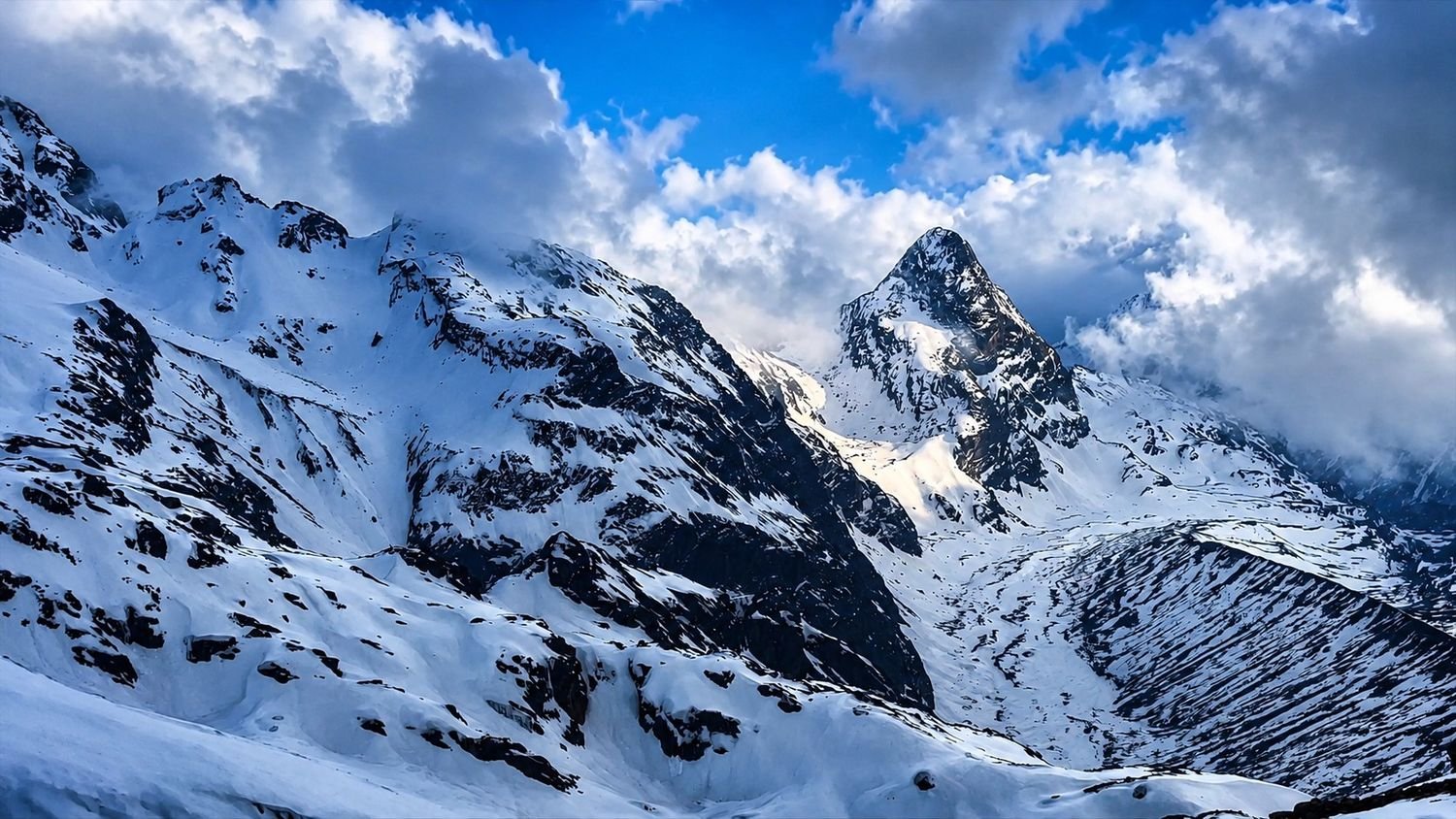
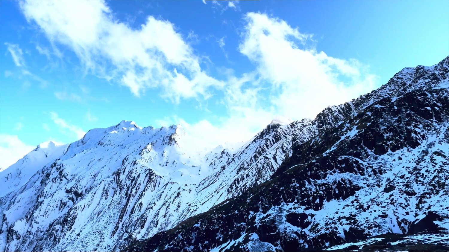
Paldor Peak lies at the south end edge of Ganesh Himal range. It lies at the junction of Tiru and Karpu ridges at the head of the Mailung Khola. Reaching the summit of the Paldor peak offers a panoramic view of Ganesh Himal ranges.
On a clear day, view of Ganesh Himal, Longsang Karpa, Ganesh I and Ganesh V can be seen.
John Cleare and Ian Howell first climbed the Paldor Peak can be climbed from Northeast, Southeast, West and Southwest Ridge.
The quickest approach to Paldor is from Sabrubesi near Dunche. The route moves forward from Tamang village of Gatlang and then leads northwards to Ganesh Himal ruby valley region along the Mailung Khola.
The area itself is a good choice for all the trekkers. Ganesh Himal region remains unforgettably beautiful and culturally rich. The routes are less crowded, and the people are friendly which makes the whole journey worthwhile.
Another more interesting route of the trek is from Sundarijal through the hills of Helambu over the Gosainkunda range to Syabrubesi.
Paldor region will provide you an opportunity to view stunning tranquil lakes, amazing waterfalls, great Himalayan landscapes and green farming terraces. The trek also provides you an insight into the lifestyle and culture of the local majorities.
Paldor Peak Permit Fees
| Season | Climbing Permit | National Park Permit | Total Permit Cost |
|---|---|---|---|
| Spring March–May |
USD 350 | NPR 3,000 | USD 350 + NPR 3,000 |
| Autumn September–November |
USD 175 | NPR 3,000 | USD 175 + NPR 3,000 |
| Winter December–February |
USD 175 | NPR 3,000 | USD 175 + NPR 3,000 |
| Summer / Monsoon June–August |
USD 175 | NPR 3,000 | USD 175 + NPR 3,000 |
Altitude Range and Terrain Character
| Section | Altitude Range | Terrain Character |
|---|---|---|
| Kathmandu & Syabrubesi (Drive) | 1,350 m → 1,503 m | Urban Kathmandu, then scenic drive through Trishuli River valley: terraced farmland, river crossings and mixed pine/bamboo forests leading to the trailhead at Syabrubesi. |
| Lower Ganesh Himal Trek | 1,503 m → 3,260 m | Rhododendron/fir forests and terraced Tamang villages (Gatlang, Yuri Kharka), winding uphill trails. Alpine meadows and grazing pastures near Yuri/Somdang, with views of Langtang and Ganesh peaks. |
| High Ganesh Approaches | 3,260 m → 4,280 m | High alpine terrain: Khurpudanda Pass (~3,750 m) with open pastures, juniper scrub. Trail climbs over rocky moraines and small glaciers to reach Paldor Base Camp (4,280 m) surrounded by jagged ridges. |
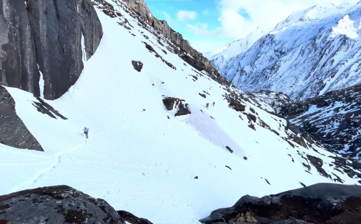
| Paldor Peak Climbing Zone | 4,280 m → 5,896 m | Alpine glacier and snow slopes: ascent from Base Camp to High Camp (5,300 m) through rocky glacial streams; final summit push involves steep snow/ice slopes with fixed ropes on the upper col and ridge. |
| Descent and Return Journey | 5,896 m → 720 m (Kathmandu 1,350 m) | Steep descent via Base Camp back to Somdang (4,305 m) and then through pine/juniper forest and terraced farms (Narchet Kharka 3,800 m, Sertung 3,270 m, Jharlang 1,600 m, Darkha ~1,000 m). Finally, a jeep drive follows the Bhote Koshi river down to Kathmandu (1,350 m). |
Difficulty Overview
| Factor | Level | Details |
|---|---|---|
| Physical Demand | Very Strenuous | Long trekking days (6–8 hrs) with steep climbs, plus back-to-back high-altitude days. Good endurance is essential for this 17-day expedition. |
| Maximum Altitude | Extreme (5,896 m) | Summit at 5,896 m requires proper high-altitude acclimatization. Multiple nights are spent above 4,300 m, raising the risk of altitude illness. |
| Technical Difficulty | Moderate to Challenging | Climb involves glacier travel and final snow/ice slopes. Fixed ropes and basic ice-climbing gear (crampons, ice axe, harness) are used on the summit ridge, but no extreme ice climbing is required. |
| Altitude Exposure | High | Multiple days above 3,000 m with thin air. The itinerary includes acclimatization stops (e.g. Yuri, Somdang, Base Camp) to adjust gradually. |
| Weather Exposure | High | Unpredictable mountain weather: can expect strong sun, wind, cold nights, and possible storms. Afternoon clouds are common; summit pushes begin pre-dawn for stable conditions. |
| Recommended Experience | Advanced Trekker/Climber | Previous high-altitude trekking experience (above 4,000 m) is strongly recommended. Familiarity with crampons, harness, and using fixed ropes is highly beneficial. |
Best Season and Conditions
| Season | Conditions | Important Notes |
|---|---|---|
| Spring (Mar–May) | Excellent: stable weather, melting snow, mild daytime temperatures. | Ideal climbing season for Paldor. Snow is generally firm; wildflowers start appearing at lower elevations. (Confirmed spring is a main climbing season.) |
| Autumn (Sep–Dec) | Excellent: clear skies, cool days, low risk of rain. | Peak trekking season with crisp conditions. Nights can be cold (especially Nov–Dec), so warm clothing is needed. (Autumn is also a main season.) |
| Winter (Dec–Feb) | Challenging: very cold, short days, heavy snow. | Not recommended for Paldor. Deep snow and avalanche risk make trekking difficult except for highly experienced winter mountaineers. |
| Monsoon (Jun–Aug) | Poor: heavy rain, landslides, obscured views. | Monsoon season should be avoided for climbing. Trails become slippery and dangerous; summit visibility and snow conditions are unfavorable. |
Expedition Statistics
| Expedition Facts | Details |
|---|---|
| Total Duration | 17 Days (16 nights) |
| Highest Summit | Paldor Peak – 5,896 m |
| Base Camp | Paldor Base Camp – 4,280 m |
| High Camp | Paldor East High Camp – 5,300 m |
| Highest Pass | Khurpudanda Pass – 3,750 m (trekking pass) |
| Protected Area | Langtang National Park |
| Accommodation | Teahouse lodges (villages) and tent camping at Base/High Camp |
| Climbing Days | 2 Summit Push Days (Base→High Camp, High Camp→Summit→Base) |
| Permits Required | Nepal Mountaineering Association Paldor Peak permit; Langtang NP permit; TIMS card |
Clothing Layers for All Seasons
| Layer | Recommended Clothing |
|---|---|
| Base Layer | Moisture-wicking thermal shirt and leggings, breathable trekking shirt, quality wool or synthetic socks. |
| Mid Layer | Fleece jacket or lightweight insulated down jacket, trekking trousers, and extra warm clothes for evenings. |
| Outer Layer | Waterproof/windproof shell jacket and pants (Gore-Tex or similar), durable and weatherproof mountaineering outerwear. |
| Summit Clothing | Heavy down jacket, insulated gloves or mittens, warm hat/balaclava, neck gaiter, thick wool socks, insulated mountaineering boots. |
| Sun & Weather Protection | High-UV sunglasses (Category 4), sun hat or cap, broad-spectrum sunscreen (SPF 50+), lip balm, lightweight gloves for wind. |
Expedition Progress by Terrain
| Expedition Section | Main Terrain | Highlights |
|---|---|---|
| Kathmandu to Syabrubesi | Subtropical hills and valleys | Scenic drive via Trishuli River valley and Dhunche. Forested hills, rural villages; entry to Langtang region. |
| Syabrubesi to Yuri Kharka | Lower Himalayan forests and villages | Trail passes through Tamang villages (Gatlang), along ridges and through rhododendron/juniper forests. Cultural insights into local life. |
| Yuri Kharka to Somdang | High alpine meadows | Ascent via Khurpudanda Pass (3,750m). Spectacular views of Paldor, Ganesh Himal, Langtang Lirung. Somdang village sits below the pass. |
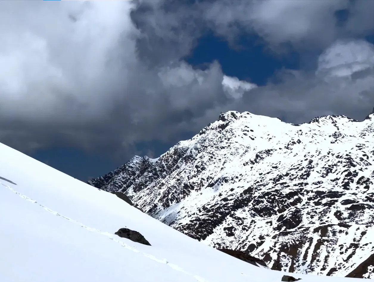
| Somdang to Paldor Base Camp | Rocky alpine terrain and glaciers | Trail follows Mailung River moraine, crossing rocky streams. Base Camp (4,280m) offers up-close views of Paldor Peak’s steep faces. |
| Paldor Summit Push | Snow and ice slopes with fixed ropes | Climb from Base Camp to High Camp (steep snow/glacier). Dawn summit start: snow climbs to the Col and final ridge. Summit offers views of Ganesh, Langtang, Manaslu, Shishapangma, etc. |
| Descent to Somdang | Glacial streams and steep trail | Return the same route: down from Summit to Base Camp (via High Camp). Trail follows glacier stream and passes small graze fields back to Somdang. |
| Somdang to Jharlang | Descending forested ridges | Mixed downhill trekking: through pine and rhododendron forests, passing Narchet Kharka and Sertung villages (Tamang/Gurung settlements) with farmland. Exposed ridge sections and waterfalls en route. |
| Jharlang to Kathmandu | Subtropical hill country and river valleys | Final descent: through Borang, Darkha village, then drive via Khahare Bazaar. Concludes with a road journey along the Bhote Koshi/Trishuli river back to Kathmandu. |
Trip Highlights
- Reach the summit of Paldor Peak (5,896 m) and enjoy breathtaking views of Ganesh Himal, Langtang Lirung, Manaslu, Shishapangma, and countless Himalayan peaks stretching across Nepal and Tibet
- Cross Khurpudanda Pass (around 3,750 m), where the trail opens to sweeping panoramas of the Ganesh Himal range and the dramatic Paldor massif
- Trek through the traditional Tamang villages of Gatlang and Yuri Kharka, where stone houses, ancient monasteries, and warm local hospitality showcase the unique culture of the Ganesh Himal region
- Explore the remote Somdang Valley, once known for its mineral mining history and now surrounded by untouched alpine landscapes, glacial streams, and spectacular mountain scenery
- Follow a scenic trail from Somdang to Paldor Base Camp (4,280 m) through rugged valleys, alpine meadows, and high mountain terrain as the summit gradually comes into view
- Spend a night at Paldor High Camp (5,300 m) beneath towering snow slopes before beginning an unforgettable pre-dawn summit climb
- Learn essential mountaineering techniques, including the use of crampons, ice axe, harness, and fixed ropes, under the guidance of experienced climbing professionals.
- Learn essential mountaineering techniques, including the use of crampons, ice axe, harness, and fixed ropes, under the guidance of experienced climbing professionals.
- Descend through forested ridges above Jharlang and Darkha on the return, where the altitude loss of over four thousand metres from summit to road head
- Complete a rewarding expedition that combines cultural trekking, remote wilderness, high-altitude camping, and one of Nepal's finest beginner-friendly climbing peaks.
Paldor Peak Climbing – 17 Days ~ Itinerary
Day 1
Arrival at Kathmandu, transfer to hotel
- Altitude: 1,350 m
- Accommodation: Standard Three Star Hotel in Thamel
A Nepal Royal Tourism Holiday representative meets you at Tribhuvan International Airport and transfers you to your hotel in Thamel. The evening welcome dinner with your guide covers the seventeen-day plan, permit documentation, the technical climbing section, and what to prepare before the drive north tomorrow morning. Paldor sits in a region most guides know far less well than the Khumbu, so the briefing is also a chance to ask about the specific character of the Ganesh Himal approach, the Tamang villages, and the Somdang valley terrain.
Day 2
Drive from Kathmandu to Syabru Besi
- Altitude: 1,503 m
- Travel Duration: 7 to 8 hours
- Travel Distance: 120 km
- Meal: Breakfast and Lunch
- Accommodation: Teahouse in Syabru Besi
Today, we drive heads northwest from Kathmandu along the Trishuli River valley, passing through Trishuli Bazaar and Dhunche before descending to Syabrubesi on a winding mountain road. The river gorge sections in the middle portion of the drive are the most dramatic, with the Trishuli running fast and green far below the road and the forested hills closing in on both sides. Syabrubesi sits on a flat river bench at the confluence of the Trishuli and Langtang Khola and serves as the gateway village for both the Langtang and Ganesh Himal routes.
Day 3
Trek from Syabru Besi to Gatlang
- Altitude: 2,238 m
- Trek Duration: 5 to 6 hours
- Trek Distance: 10 to 11 km
- Meal: Breakfast, Lunch and Dinner
- Accommodation: Teahouse in Gatlang
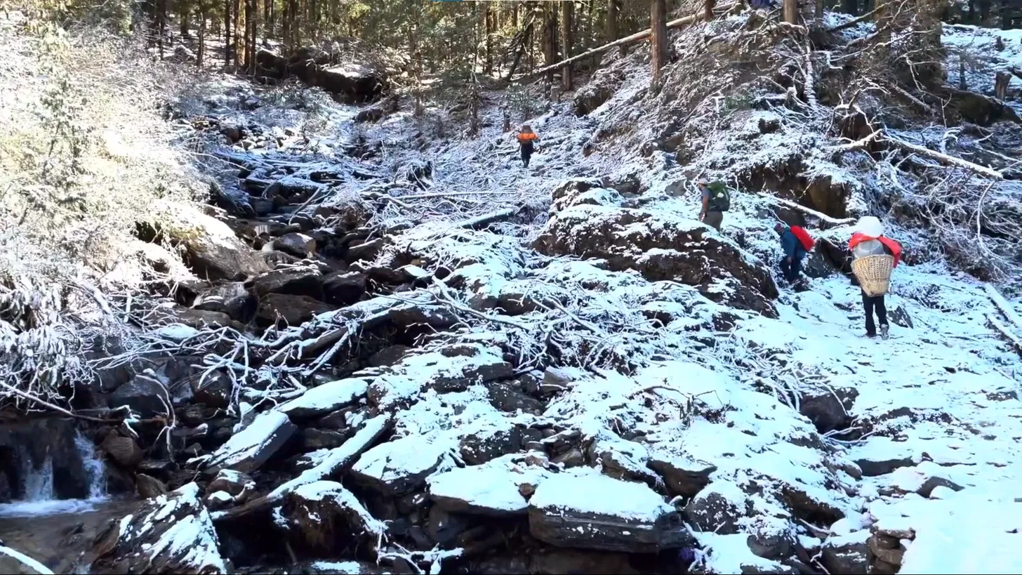
The trail leaves Syabrubesi heading east and begins climbing immediately through terraced farmland and mixed forest. The ascent is sustained, with the path moving through a mix of dense vegetation and occasional open viewpoints before arriving at Gatlang, a traditional Tamang village at 2,238 metres. The village has a gonpa on its eastern edge and long views north toward the Ganesh Himal. From the upper lanes of the village on a clear afternoon, Langtang Lirung and the first of the Ganesh peaks appear above the ridgeline. The stone architecture and the general atmosphere of Gatlang are a clear indication that the cultural world here is different from anything on the standard Kathmandu to Khumbu route.
Day 4
Trek from Gatlang to Yuri Kharka
- Altitude: 3,260 m
- Trek Duration: 5 to 6 hours
- Trek Distance: 12 to 13 km
- Meal: Breakfast, Lunch and Dinner
- Accommodation: Teahouse in Yuri Kharka
The trail climbs from Gatlang through fir and rhododendron forest, the vegetation shifting noticeably as the altitude increases through the morning. Above the upper forest line, the path enters alpine meadow terrain where yak graze in the summer months and seasonal shepherd shelters dot the ridgeline. Yuri Kharka at 3,260 metres is an open high-altitude grazing ground with basic teahouse facilities and a clear view north toward Paldor and the Ganesh Himal. The Ganesh peaks look considerably closer from here than they did from Gatlang and the scale of what lies ahead becomes more apparent by the afternoon.
Day 5
Trek from Yuri Kharka to Somdang
- Altitude: 4,305 m
- Trek Duration: 5 to 6 hours
- Trek Distance: 11 to 12 km
- Meal: Breakfast, Lunch and Dinner
- Accommodation: Teahouse in Yuri Kharka
Today we cross Khurpudanda Pass at approximately 3,750 metres before descending to Somdang on the far side. The pass crossing is the high point of the lower approach and delivers the most complete panorama of the route so far, with Paldor visible to the north, Langtang Lirung to the east, and the Ganesh Himal range across the full width of the northern horizon. Somdang at 4,305 metres sits in the high valley known locally for its ruby and semi-precious stone mining history. The glacial streams through the valley carry the distinctive mineral colour of the area. The settlement is small and the teahouses basic but the environment is entirely unlike anywhere lower on the route.
Day 6
Trek from Somdang to Jasta Khani |
- Altitude: 4,100 m
- Trek Duration: 4 to 5 hours
- Trek Distance: 8 to 9 km
- Meal: Breakfast, Lunch and Dinner
- Accommodation: Teahouse in Yuri Kharka
From Somdang the trail continues along the Mailung Khola drainage toward Jasta Khani, moving through rocky moraine terrain with the gradient levelling out compared to the previous days of sustained climbing. Jasta Khani takes its name from the zinc mining that has historically operated in this section of the valley. The area is above the main vegetation line and the landscape is dominated by rock, glacial debris, and the increasingly close walls of the peaks above. Paldor Base Camp is visible from the upper section of today’s approach and the mountain fills more of the sky with each hour of walking.
Day 7
Trek from Jasta Khani to Paldor Base Camp
- Altitude: 4,280 m
- Trek Duration: 3 to 4 hours
- Trek Distance: 6 to 7 km
- Meal: Breakfast, Lunch and Dinner
- Accommodation: Tented camp at Paldor Base Camp
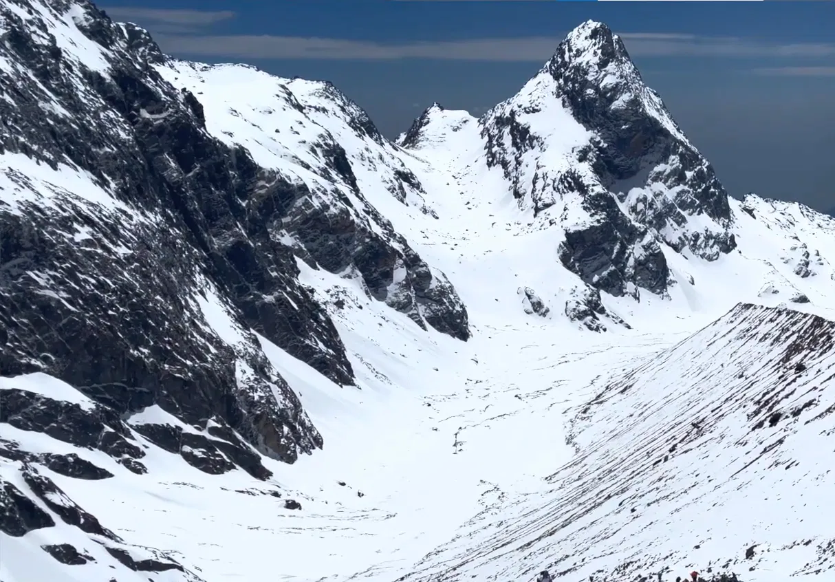
A shorter day that reaches Paldor Base Camp at 4,280 metres across the final moraine section of the Mailung valley. The camp sits below the lower glacier with the South Ridge of Paldor rising directly above and the full scale of the summit objective visible for the first time in its entirety. The afternoon is for tent setup, gear preparation, and the pre-climb training session covering crampon fitting, ice axe technique, and the jumar system used on fixed rope sections. Spend the evening resting and preparing everything for the high camp push tomorrow.
Day 8
Climb from Paldor Base Camp to High Camp
- Altitude: 5,300 m
- Trek Duration: 4 to 5 hours
- Trek Distance: 5 to 6 km
- Meal: Breakfast, Lunch and Dinner
- Accommodation: Tented camp at High Camp
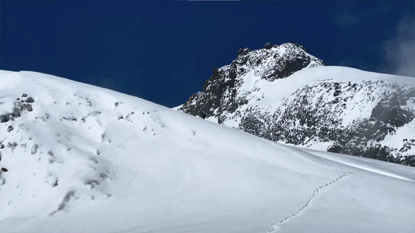
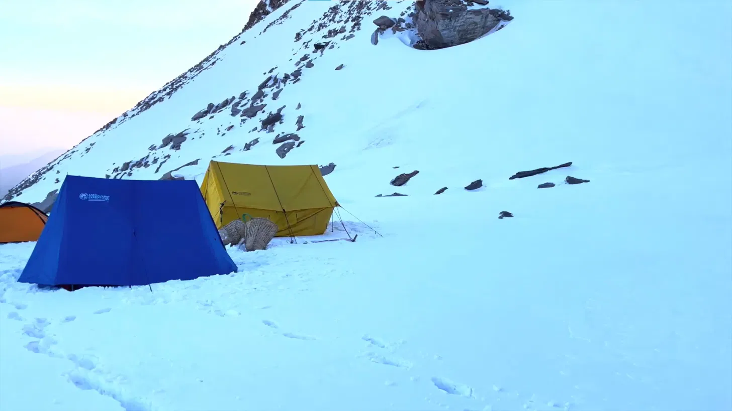
The ascent from Base Camp to High Camp at 5,300 metres moves through the lower glacier section before the gradient steepens toward the upper snow slopes. The route gains over one thousand metres in altitude across a technically demanding section that gives a clear preview of what summit day will feel like. High Camp is a fully exposed tent site on the glacier with the summit col visible directly above. The cold arrives fast after dark at this altitude. Prepare gear for the summit push, eat well, and sleep as early as possible. The alarm is set for 3 am.
Day 9
Trek to Summit of Paldor Peak and come back to Base Camp.
- Altitude: 5,896 m (Paldor Peak Summit) and overnight at 4,200
- Climb Duration: 8 to 10 hours
- Climb Distance: 6 km round trip from High Camp
- Meal: Breakfast, Lunch and Dinner
- Accommodation: Tent
The pre-dawn trek starts from High Camp. The route ascends the upper col on snow and ice slopes that reach forty to fifty degrees near the summit ridge, where fixed ropes protect the most exposed sections. The summit of Paldor at 5,896 metres is broad enough to stand on comfortably and the panorama from the top is the largest view of the entire expedition. Ganesh Himal I rises directly above to the north. Langtang Lirung fills the eastern horizon. Manaslu is visible to the west on clear mornings. Shishapangma in Tibet appears on the northern horizon. The descent to Base Camp via High Camp takes four to five hours on the same route.
Day 10
Trek from Paldor Base Camp to Somdang
- Altitude: 4,305 m
- Trek Duration: 5 to 6 hours
- Trek Distance: 14 to 15 km
- Meal: Breakfast, Lunch and Dinner
- Accommodation: Teahouse in Somdang
The descent from Base Camp begins the return leg of the journey, retracing the approach trail back through Jasta Khani to Somdang. The altitude loss of over a thousand metres from Base Camp to Somdang happens quickly on the moraine sections and the air noticeably thickens as the descent progresses. The body is tired from the summit effort but the downhill direction and improving oxygen levels make the day feel more manageable than the upward equivalent. Somdang by the late afternoon is welcoming in the way that familiar places are after a summit day.
Day 11
Trek from Somdang to Narchet Kharka
- Altitude: 3,800 m
- Trek Duration: 5 to 6 hours
- Trek Distance: 10 to 11 km
- Meal: Breakfast, Lunch and Dinner
- Accommodation: Teahouse or camp at Narchet Kharka
The return route diverges from the approach here, heading south on a different trail rather than retracing the Khurpudanda Pass crossing. From Somdang the path descends through the transition zone between high alpine terrain and the upper edge of the forest, with Ganesh Himal and Langtang Lirung visible in the distance behind as the altitude drops. Narchet Kharka at 3,800 metres is a grazing ground settlement where the terrain begins to feel more vegetated and warmer than anything since the days above Somdang.
Day 12
Trek from Narchet Kharka to Sertung
- Altitude: 3,270 m
- Trek Duration: 6 to 7 hours
- Trek Distance: 10 to 11km
- Meal: Breakfast, Lunch and Dinner
- Accommodation: Teahouse in Sertung
The trail continues south through pine and juniper forest on a long descending ridge section that passes through Tamang and Gurung settlements. The views back toward the Ganesh Himal are occasionally visible through gaps in the forest on the upper section before the canopy closes in as the altitude drops further. Sertung at 3,270 metres is a proper village settlement with established teahouses and the atmosphere of a community that sees very few trekkers. The familiarity of forest and farmland after days in the high alpine zone carries its own particular comfort.
Day 13
Trek from Sertung to Jharlang
- Altitude: 1,600 m
- Trek Duration: 6 to 7 hours
- Trek Distance: 14 to 15 km
- Meal: Breakfast, Lunch and Dinner
- Accommodation: Teahouse in Jharlang
A long and steep descent of over sixteen hundred metres through dense mixed forest, past waterfalls, and through several small villages on exposed ridge sections before the trail reaches the river valley at Jharlang. The altitude loss is the most dramatic single-day drop of the entire return journey, and the change in vegetation from high alpine scrub to subtropical forest happens visibly over the course of the day. Jharlang at 1,600 metres is noticeably warm compared to anything in the previous week, and the air is thick and rich after the high-altitude exposure above.
Day 14
Trek from Jharlang to Darkha
- Altitude: 1,000 m
- Trek Duration: 5 to 6 hours
- Trek Distance: 12 to 13 km
- Meal: Breakfast, Lunch and Dinner
- Accommodation: Teahouse in Darkha
The trail descends through Borang and continues toward Darkha, moving through the subtropical lower hills with the Ganesh Himal increasingly distant behind. The vegetation is dense and the trail alternates between shaded forest sections and open farmland with terraced fields in the river valley. Darkha at around 1,000 metres is a lower village settlement that marks the transition from mountain trekking terrain to the road-connected lowland communities that lead toward Khahare Bazaar and the drive back to Kathmandu.
Day 15
Trek from Darkha to Khahare Bazaar
- Altitude: 720 m
- Trek Duration: 4 to 5 hours
- Trek Distance: 10 to 11 km
- Meal: Breakfast, Lunch and Dinner
- Accommodation: Teahouse in Khahare Bazaar
The final walking section moves through Phedi and continues to Khahare Bazaar on the main road where vehicles are waiting. The trail follows the lower valley through terraced farmland and scattered settlements, the surrounding peaks almost entirely hidden behind the lower hills at this altitude. Khahare Bazaar is a road-head town with the kind of amenities that feel genuinely remarkable after seventeen days in the mountains. The vehicle is waiting and the long drive south to Kathmandu begins this afternoon or the following morning depending on arrival time.
Day 16
Drive from Khahare Bazaar to Kathmandu
- Altitude: 1,350 m
- Travel Duration: 5 to 6 hours
- Travel Distance: 146 km
- Meal: Breakfast, Lunch and Dinner
- Accommodation: Standard Three Star Hotel in Thamel
The drive from Khahare Bazaar follows the Bhote Koshi and Trishuli river valleys south toward Kathmandu, passing through the same kind of forested gorge scenery visible on the outward journey now carrying the weight of everything that happened since. Arriving in Kathmandu by mid to late afternoon, the rest of the day is free. The farewell dinner in the evening marks the end of the expedition, certificates are presented, and the summit of Paldor Peak joins the small list of places most people who have been there find difficult to explain to those who have not.
Day 17
Final Departure from Kathmandu
- Meal: Breakfast
According to your international flight schedule, our representative will transfer you to Tribhuvan International Airport for your onward journey. As your Paldor Peak expedition comes to an end, you leave Nepal carrying unforgettable memories of the remote Ganesh Himal, its welcoming mountain communities, and the rewarding experience of standing on the summit of one of Nepal’s most beautiful trekking peaks.
Paldor Peak Climbing – 17 Days Fixed Departures Dates
Trip Cost Includes/Excludes
Cost Includes
- Airport Pick up and Drop by private car
- One English-speaking experience guide and Climbing Sherpa, cook, kitchen boy and helper, required porters.
- 2 nights 3-star standard hotel Kathmandu with (bed & breakfast)
- Porters and (assistance) according to the group size
- All food during the trek (Breakfast, Lunch and Dinner) with a cup of tea or Coffee
- Accommodation (mountain Tea house Lodge)
- Ktm-Syabrubesi drive by private transportation
- Khahare bazaar to Kathmandu Drive by Private transportation
- Langtang national park permit
- Paldor Peak Climbing Permit.
- All Climbing Equipment, such as Tent, Ice Axe, Rope, Ices Crow, Snow bar.
- All food, lodge, salary, insurance, transportation, equipment for guide and porters
- First Aids Kit.
- Nepal Royal Tourism Holidays T-shirt and expedition completion certificate
- Duffel bags & sleeping bag
- All the government taxes
Cost Excludes
- Travel Insurance (Emergency Evacuation Recommended)
- Lunch and dinner in Kathmandu
- Tips for guide, potter & driver
- Hot showers, wifi, phone charging fees
- Personal expenses including snacks, drinks etc.
- Altitude chamber (PAC) or oxygen
- Any service not specifically mentioned under the trip Includes section
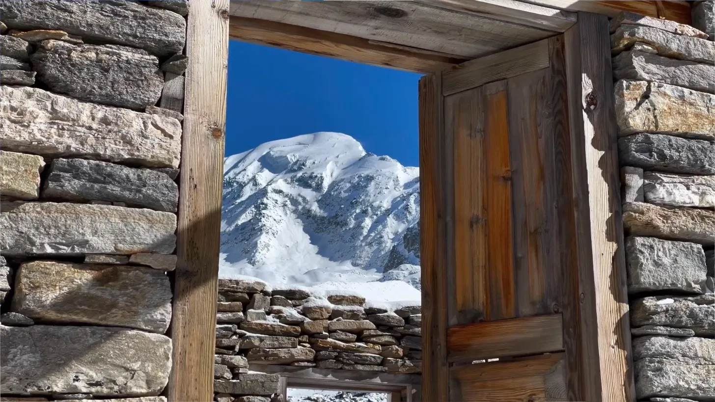
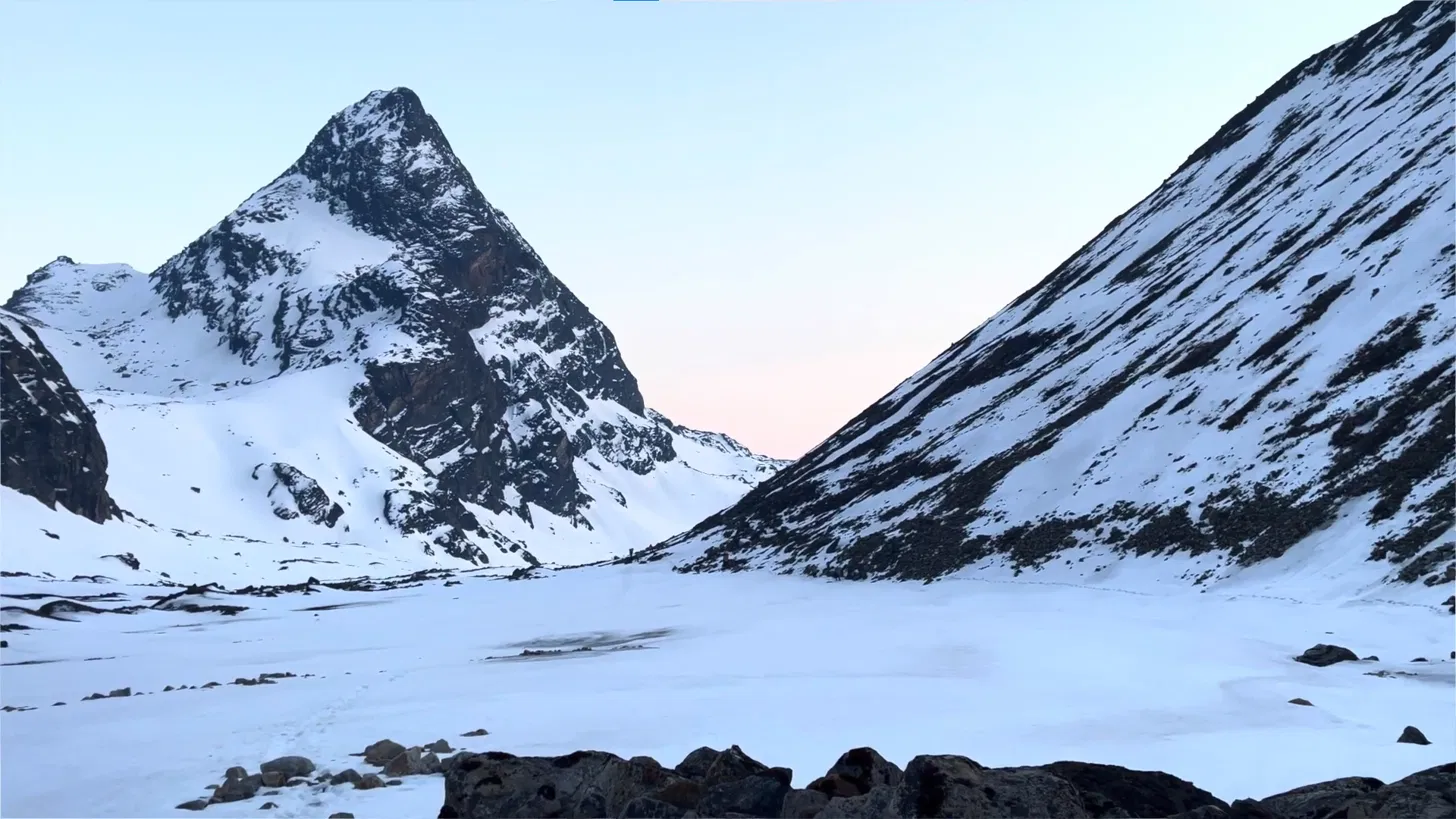
Trip Photo/Video Gallery
Route Map for Paldor Peak Climbing – 17 Days
Leave a Review
Paldor Peak Climbing – 17 Days
10 Reviews to Paldor Peak Climbing – 17 Days
You may also like

Annapurna Base Camp Trek with Poon Hill and Mardi Himal – 17 Days
-
Trip
17 Days
-
Grade
Moderate
-
Altitude
4500m
Menu

Nicolas Dubois
at 12:20 pm
Excellent Guides Made the Difference
Our guide’s mountaineering knowledge and calm leadership gave me confidence during the technical sections near the summit. Safety was always the priority, and the team handled every situation professionally. The views from Paldor Peak were spectacular, making every challenging step worthwhile. Thank you, Nepal Royal Tourism.
Isabella Romano
at 12:19 pm
Beyond My Expectations
I joined this expedition hoping for adventure, but I left with memories that will last a lifetime. The landscapes changed every day, from forests to glaciers and snowy ridges. Nepal Royal Tourism exceeded my expectations with friendly staff, delicious meals, and excellent organization. I highly recommend this climb.
Emma Sorensen
at 8:24 am
One of Nepal's Best Remote Peak Climbing Adventures
Paldor Peak Climbing is perfect for travelers seeking a less crowded Himalayan expedition. The scenery was breathtaking, the local communities were welcoming, and the climbing experience was challenging in the best possible way. Nepal Royal Tourism impressed me with their professionalism, experienced guides, and excellent customer care. I would gladly return for another adventure.
Benjamin Carter
at 8:22 am
Outstanding Service Throughout the Journey
Everything was perfectly organized, including transportation, accommodation, permits, and climbing logistics. The support team worked tirelessly to ensure everyone felt comfortable. Paldor Peak offered stunning views of the Ganesh Himal range, and Nepal Royal Tourism made the experience smooth and memorable. Five stars without hesitation.
Oliver Bennett
at 10:15 pm
Safe, Well-Planned, and Worth Every Step
The itinerary was well paced, allowing enough time for acclimatization before the summit climb. Our guide constantly checked our health and encouraged everyone throughout the journey. Nepal Royal Tourism truly cares about its clients, and their attention to detail made this one of the best trekking and climbing experiences I’ve ever had.
Hannah Fischer
at 9:21 am
Amazing Local Culture and Mountain Adventure
The combination of mountain climbing and cultural experiences made this trip unforgettable. Walking through traditional Tamang villages and exploring the remote Ganesh Himal region gave me a deeper appreciation of Nepal. Nepal Royal Tourism delivered exceptional service from beginning to end. I couldn’t have chosen a better operator.
Ethan McCall
at 7:22 pm
A Hidden Gem in the Ganesh Himal Region
Paldor Peak is one of Nepal’s hidden treasures. Unlike the busy Everest trails, this climb offered peaceful landscapes, beautiful Tamang villages, and stunning Himalayan panoramas. Nepal Royal Tourism organized every detail perfectly, from logistics to meals and accommodation. The summit views were beyond words. I would definitely trek with them again.
Amelia Brooks
at 5:25 pm
Professional Team and an Unforgettable Summit
From the moment I arrived in Kathmandu until the final departure, Nepal Royal Tourism provided outstanding service. The trekking route, local hospitality, and breathtaking mountain scenery exceeded my expectations. The climbing training before the summit gave me confidence, and the guide’s expertise made the ascent enjoyable and safe. A fantastic company for anyone planning Paldor Peak Climbing.
Sofia Lindgren
at 11:44 am
Perfect Adventure for Aspiring Mountaineers
If you’re looking for your first Himalayan peak, Paldor Peak is an excellent choice. Nepal Royal Tourism made the entire experience stress-free with professional guides, quality equipment, and excellent support throughout the trek. Every day brought new scenery, and the summit rewarded us with unforgettable views. Highly recommended.
Lucas Andersen
at 1:15 am
An Incredible First Himalayan Peak Experience
Climbing Paldor Peak with Nepal Royal Tourism was everything I hoped for and more. The route through the peaceful Ganesh Himal region was less crowded, making the journey feel truly authentic. Our climbing guide was experienced, patient, and always focused on safety. Reaching the 5,896-meter summit was one of the proudest moments of my life. I highly recommend this expedition to anyone looking for a real Himalayan climbing adventure.